The instrument's own words
page 1 · read by Gemma vision
391
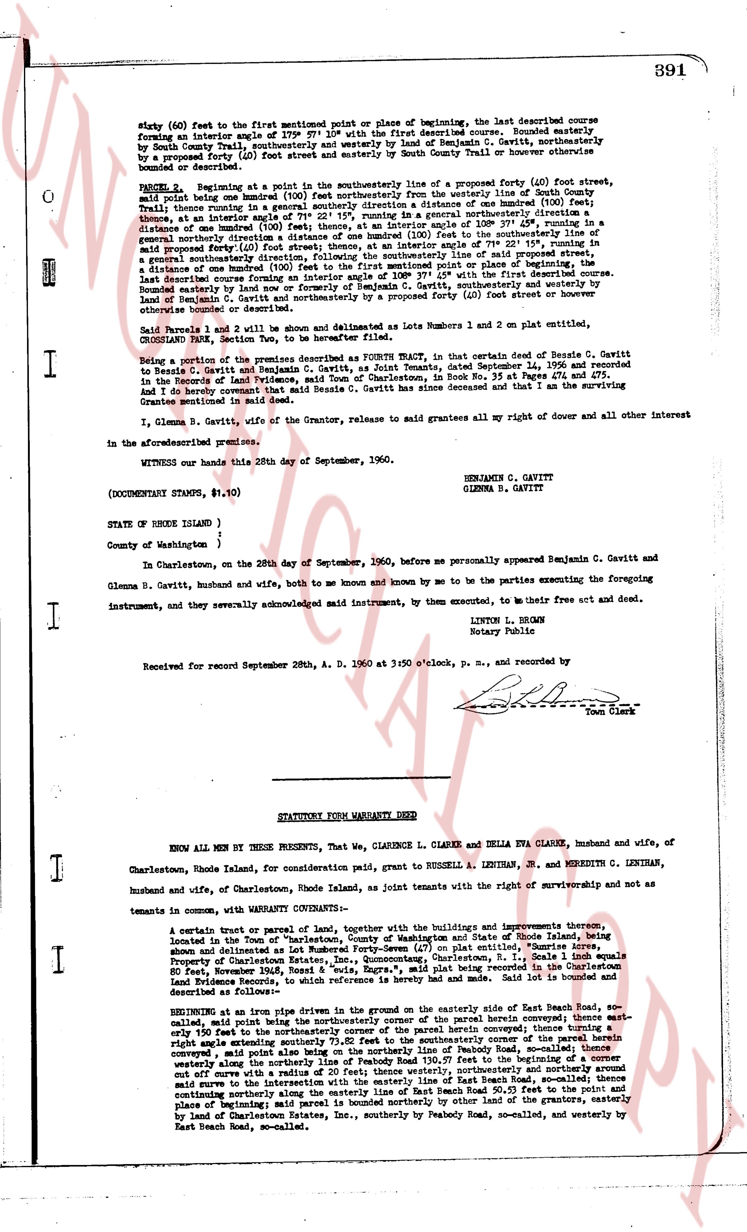
sixty (60) feet to the first mentioned point or place of beginning, the last described course forming an interior angle of 379° 57' 10" with the first described course. Bounded easterly by South County Trail, southerly and westerly by land of Benjamin C. Gavitt, northerly by a proposed street (40) foot street running parallel to South County Trail or however then bounded or described.
PARCEL 2 Beginning at a pin in the southeasterly line of a proposed forty (40) foot street, said pin being between boundary lines (100) feet southeasterly from the westerly line of South County Trail; thence running in a general southerly direction a distance of one hundred (100) feet, thence at an interior angle of 100° 37' 54" running in a general southeasterly direction a distance of one hundred (100) feet, thence at an interior angle of 100° 37' 54" running in a general northerly direction one hundred (100) feet, thence at an interior angle of 71° 22' 15" running, in a general northerly direction sixty (60) feet, thence at an interior angle of 100° 37' 54" running, in a general southeasterly direction one hundred (100) feet to the first mentioned point or place of beginning, the last described course forming an interior angle of 100° 37' 54" with the first described course. Bounded easterly by South County Trail, southerly and westerly by land of Benjamin C. Gavitt, northerly and otherwise bounded or described.
said Parcels 1 and 2 will be shown and delineated as Lots number 1 and 2 on plat entitled, CROSSLAND PARK, State Section Two, to be hereafter filed.
Being a portion of the premises described as Fourth Wallet, in that certain deed of Besale C. Gavitt to Besale C. Gavitt and Benjamin C. Gavitt, husband and wife, dated September 14, 1956 and recorded in the Records of land Evidence, Town of Charlestown, in Book No. 35 at Pages 474 and 475. And I, Benjamin C. Gavitt, being the sole owner of Besale C. Gavitt since her decease and that I am the surviving Grantee mentioned in said deed.
I, Glenna B. Gavitt, wife of the Grantor, release to said grantees all my right of dower and all other interest in the aforementioned premises.
WITNESS our hands this 28th day of September, 1960.
BENJAMIN C. GAVITT
GLENNA B. GAVITT
(DOCUMENTARY STAMPS, $1.10)
STATE OF RHODE ISLAND )
County of Washington )
In Charlestown, on the 28th day of September, 1960, before me personally appeared Benjamin C. Gavitt and Glenna B. Gavitt, husband and wife, both to me known and known by me to be the parties executing the foregoing instrument, and they severally acknowledged said instrument, by them executed, to me their free act and deed.
LINTON L. BROWN
Notary Public
Received for record September 28th, A. D. 1960 at 3:50 o'clock, p. M., and recorded by
[Signature]
Town Clerk
----
STATUTORY FORM WARRANTY DEED
KNOW ALL MEN BY THESE PRESENTS, That We, CLARENCE L. CLARKE and DELLA EVA CLARKE, husband and wife, of Charlestown, Rhode Island, for consideration paid grant, to RUSSELL A. LENIHAN, JR. and MEREDITH C. LENIHAN, husband and wife, of Charlestown, Rhode Island, as joint tenants with the right of survivorship and not as tenants in common, with WARRANTY CONVEYANCE:
A certain tract or parcel of land, together with the buildings and improvements thereon, situated located in the Town of Charlestown, County of Washington and State of Rhode Island, being shown and delineated as Lot number Seventy-Four (74) on plat entitled, "Sunrise Acres" Property of Charlestown Estates, Inc. said plat being recorded in the Land Evidence Records in Book 34 at Page 564, dated May 19, 1946, Route 8, "East side, Exprs. Rd," said plat being mentioned and referred to in a deed recorded in the Land Evidence Records, to which reference is hereby made and to said deed is bound and described as following:
BEGINNING at an iron pipe driven in the ground on the easterly side of East Beach Road, so-called, thence running in a general northerly direction across the said parcel however then described, thence running at right angle southeasterly until 73.02 feet to the southeasterly corner of the said parcel however then described, thence running at right angle southeasterly a distance of 100 feet to the northerly line of Peabody Road, so-called, thence running westerly along the northerly line of Peabody Road 130.57 feet to the beginning of a curve set off curve with a radius of 100 feet, running northerly and more northerly around said curve to the intersection with the easterly line of East Beach Road, so-called, thence continuing southeasterly along said East Beach Road 130.57 feet to the first mentioned point and place of beginning; said parcel is bounded northerly by other land of the grantors, easterly by land of Charlestown Estates, Inc., southerly by Peabody Road, so-called, and westerly by East Beach Road, so-called.
page 2 · read by Gemma vision
392
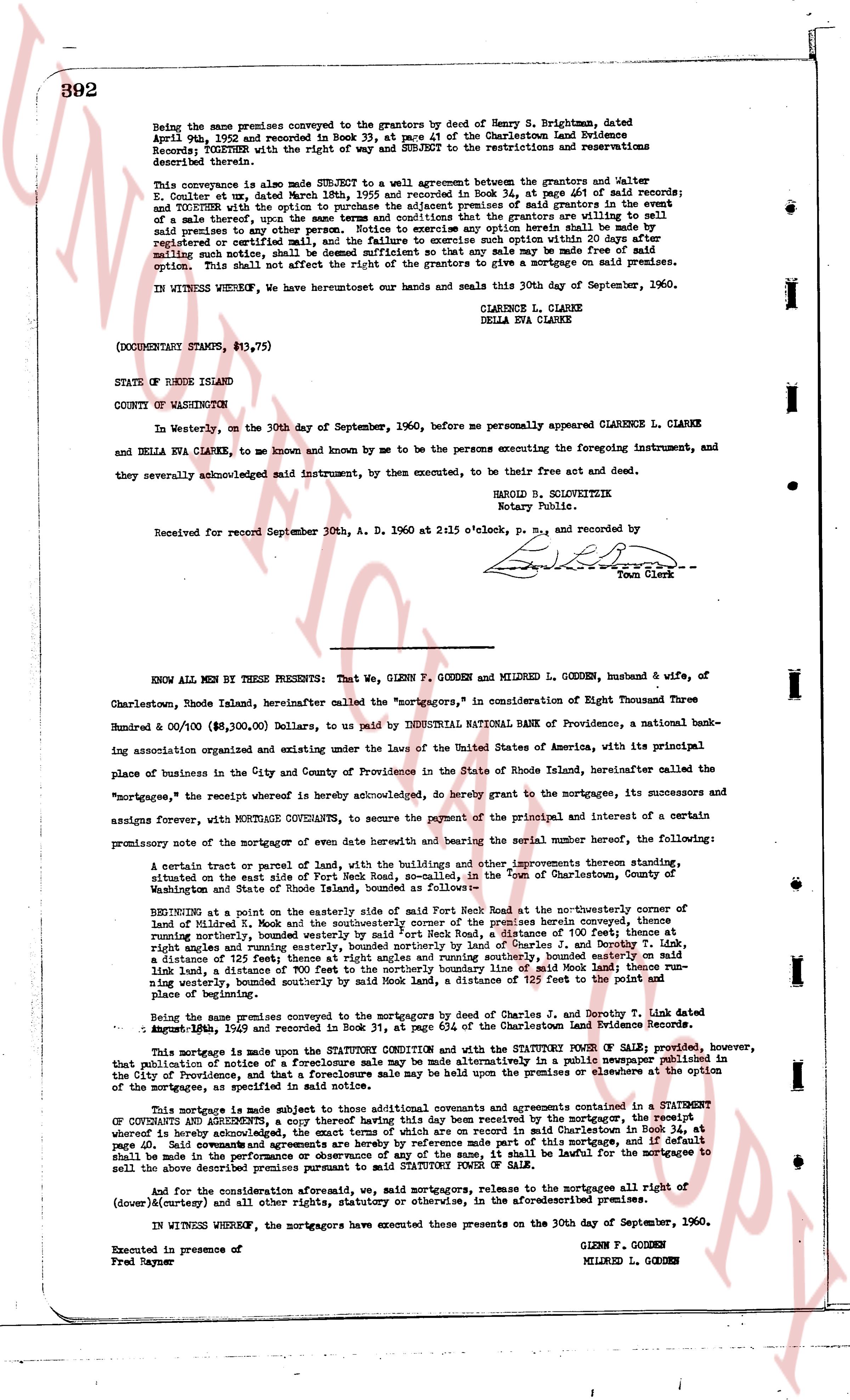
Being the same premises conveyed to the grantors by deed of Henry S. Brightman, dated April 2nd, 1952 and recorded in Book 33, at page 41 of the Charlestown Land Evidence Records; TOGETHER with the right of way and SUBJECT to the restrictions and reservations described therein.
This conveyance is also made SUBJECT to a wall agreement between the grantors and Walter E. Goulter, et al, dated March 18th, 1955 and recorded in Book 34, at page 641 of said records; and TOGETHER with the option to purchase the adjacent premises of said grantors in the event that said premises are, during the term of this option, that the grantors are willing to sell said premises to any other person. Notice to exercise any option herein shall be made by registered or certified mail to the grantors and the exercise of such option within 30 days after mailing such notice, shall be deemed sufficient so that any sale may be made free of said option. This shall not affect the right of the grantors to give a mortgage on said premises.
IN WITNESS WHEREOF, we hereunto have set our hands and seals this thirtieth day of September, 1960.
CLARENCE L. CLARKE
DELLA EVA CLARKE
(DOCUMENTARY STAMPS, $13.75)
STATE OF RHODE ISLAND
COUNTY OF WASHINGTON
In Westerly, on the 30th day of September, 1960, before me personally appeared CLARENCE L. CLARKE and DELLA EVA CLARKE, to me known and known by me to be the persons executing the foregoing instrument, and they severally acknowledged said instrument, by them executed, to be their free act and deed.
HAROLD B. SCHLOVITTIK
Notary Public
Received for record September 30th, A. D. 1960 at 2:15 o'clock, P. M., and recorded by
[Signature]
Town Clerk
----
KNOW ALL MEN BY THESE PRESENTS: That we, GLENN F. GODDEN and MILWRED L. GODDEN, husband & wife, of Charlestown, Rhode Island, hereinafter called the "mortgagors," in consideration of Eight Thousand Three Hundred & 00/100 ($8,300.00) Dollars, to us paid by INDUSTRIAL NATIONAL BANK of Providence, a national banking association organized and existing under the laws of the United States of America, with its principal place of business in the City and County of Providence in the State of Rhode Island, hereinafter called the "mortgagee," the receipt whereof is hereby acknowledged, do hereby grant to the mortgagee, its successors and assigns forever, WITH MORTGAGE COVENANTS, to secure the payment of the principal and interest of a certain promissory note of the mortgagee of even date hereby referenced and bearing the serial number hereof, the following:
A certain tract or parcel of land, with the buildings and other improvements thereon standing, situated on the east side of Fort Road North Road, so called, in the Town of Charlestown, County of Washington and State of Rhode Island, described as follows:
SITUATED on a point on the easterly side of the road of Fort Road North Road, at the northeasterly corner of land of Milred L. Godden and the southeasterly corner of the premises hereby conveyed, thence running easterly, along the boundary line of land of [?] [?], a distance of 105 feet; thence turning a right angle and running easterly, bounded northerly by land of Charles J. and Dorothy T. Link, a distance of 123 feet; thence turning a right angle and running southerly, bounded easterly by land of [?] [?], a distance of 300 feet to the northerly boundary line of said Mark Land; thence running westerly, bounded southerly by said Mark Land, a distance of 123 feet to the point of place of beginning.
Being the same premises conveyed to the mortgagors by deed of Charles J. and Dorothy T. Link dated August 11th, 1949 and recorded in Book 31, at page 634 of the Charlestown Land Evidence records.
This mortgage is made upon the STATUTORY FORM and with the STATUTORY POWER OF SALE; provided, however, that publication of notice of a foreclosure sale be made by posting a notice in the public square, published in the City of Providence, and that a foreclosure sale may be held upon the premises at or elsewhere on the option of the mortgagee, as the specified statutory form provides.
This mortgage is made subject to those additional covenants and agreements contained in a STATEMENT OF COVENANTS AND AGREEMENTS, a copy thereof having been this day received by the mortgagor, the receipt whereof acknowledged, and which statement is hereby made a part of this mortgage and incorporated herein as page 4D. Said covenants and agreements are hereby by reference made part of this mortgage, and if default shall be made in the performance of any of said covenants and agreements, the mortgagee shall be lawful for the mortgagee to sell the above described premises pursuant to said STATUTORY POWER OF SALE.
And for and the consideration aforesaid, we, said mortgagors, release to the mortgagee, all the right of (dower) & (curtesy) and all other rights, statutory or otherwise, in the aforementioned premises.
IN WITNESS WHEREOF, the mortgagors have executed these presents on the 30th day of September, 1960.
GLENN F. GODDEN
MILWRED L. GODDEN
Executed in presence of
Fred Gaynor
The page as recorded