The instrument's own words
page 1 · read by Gemma vision
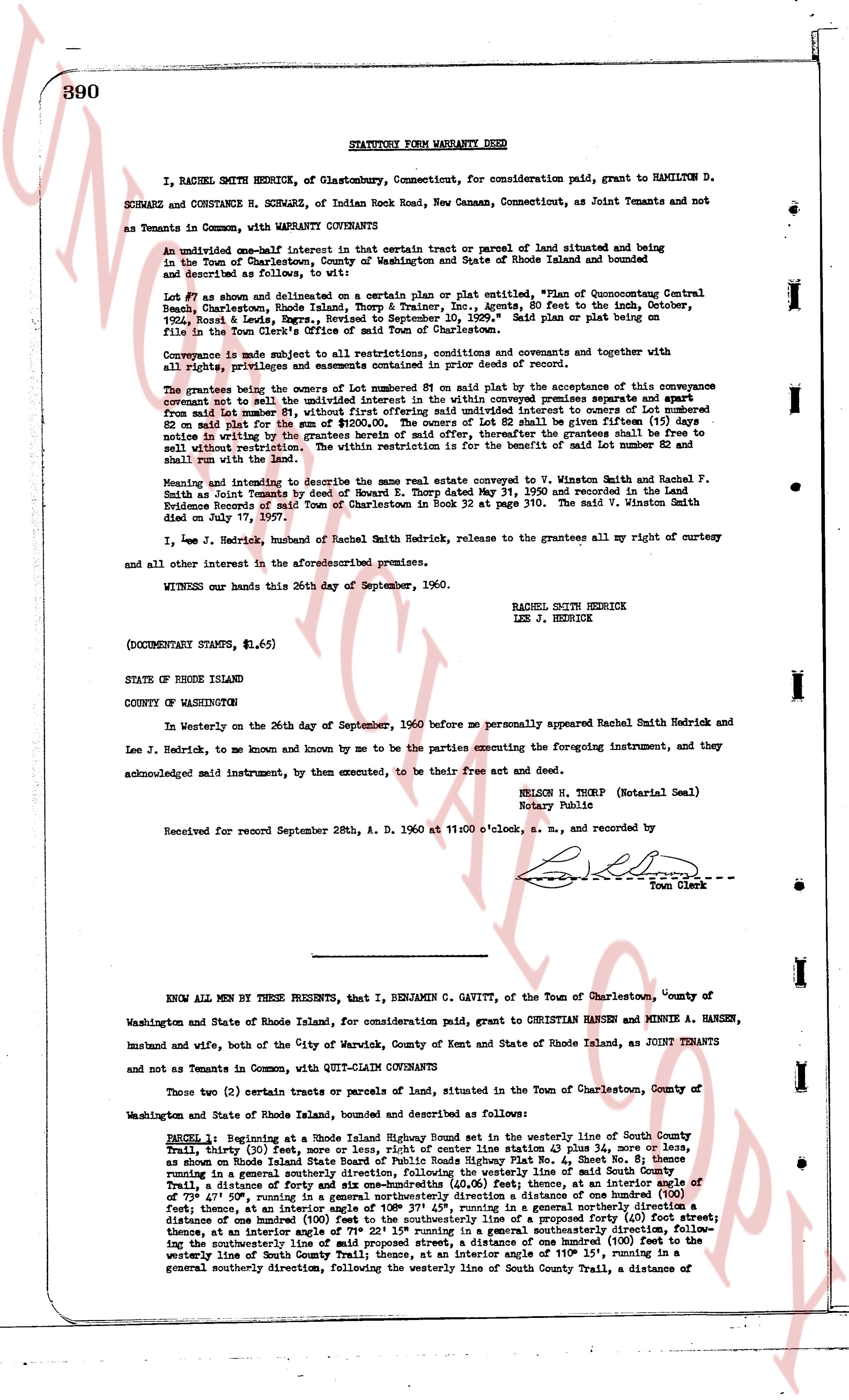
390 STATUTORY FORM WARRANTY DEED
I, RACHEL SMITH HENDRICK, of Glastonbury, Connecticut, for consideration paid, grant to HAMILTON D. SCHWARZ and CONSTANCE R. SCHWARZ, of Indian Road Rock, New Canaan, Connecticut, as Joint Tenants and not as Tenants in Common, with WARRANTY COVENANTS:
An undivided one-half interest in certain that tract or parcel of land situated and being in the Town of Charlestown, County of Washington and State of Rhode Island thoned and bounded as described and follows to wit:
Lot 87 as shown and delineated on a certain plan or plat entitled, "Plan of Quonocutone Central Beach, Charlestown, Rhode Island, Thorpe & Trainer, Inc., agents, 80 feet to the inch, October, 1954, Record & Lewis, Survey, Recorded to September 1955." Said plan or plat being on file in the Town Clerk's office in the Town of Charlestown.
Conveyance is made subject to all restrictions, conditions and covenants and covenants together and with all rights, privileges and easements contained in prior deeds of record.
The grantees being the owners of Lot number 81 on said plat by the acceptance of this conveyance covenant not to sell the undivided one-half interest in Lot number 87 conveyed premises separately and apart from Lot number 81, without first offering said undivided interest in courtesy to owners of Lot number 81 on said plat for the same price as offered to any third party. If said offer shall be ignored or notice in writing of the grantees herein of said offer, thereafter the grantees shall be free to sell without restriction. The within restriction is for the benefit of said Lots number 81 and shall run with the land.
Meaning and intending to describe the same real estate conveyed to V. Winston Smith and Rachel F. Smith as Joint Tenants by deed of Howard E. Smith Dated May 31, 1950 and recorded in the Land Evidence Records of the Town Office of Charlestown in book 32 at page 370. The said V. Winston Smith died on July 97, 1957.
I, Lee J. Hendrick, husband of Rachel Smith Hendrick, release to the grantees all my right or cutlery and all other interest in the aforementioned premises.
WITNESS our hands this 26th day of September, 1960.
RACHEL SMITH HENDRICK
LEE J. HENDRICK
(DOCUMENTARY STAMPS, $1.65)
STATE OF RHODE ISLAND
COUNTY OF WASHINGTON
In Westerly on the 26th day of September, 1960 before me personally appeared Rachel Smith Hendrick and Lee J. Hendrick, to me known and known by me to be the parties executing the foregoing instrument, and they acknowledged said instrument, by them executed, to be their free act and deed.
NELSON N. THORP (Notarial Seal)
Notary Public
Received for record September 28th, A. D. 1960 at 11:00 o'clock, a. m., and recorded by
[Signature]
Town Clerk
----
KNOW ALL MEN BY THESE PRESENTS, that I, BENJAMIN C. GAVITT, of the Town of Charlestown, County of Washington and State of Rhode Island, for consideration paid, grant to CHRISTIAN HANSEN and MINNIE A. HANSEN, husband and wife, both of the City of Warwick, County of Kent and State of Rhode Island, as JOINT TENANTS and not as Tenants in Common, with QUIT-CLAIM COVENANTS
Those two (2) certain tracts or parcels of land, situated in the Town of Charlestown, County of Washington and State of Rhode Island, described and bounded as follows:
PARCEL 1: Beginning at a Rhode Island Highway Boundary Stake set in the westerly line of South County Trail, [?] feet North, 213 feet East of the center line station 43 plus 34 more or less, as shown on Rhode Island State Road Public Roads Highway Plat No. 4 Sheet 4, running south westerly in a general south westerly direction to a boundary stake set in said South County Trail, a distance of forty six and six one-hundredths (46.06) feet; thence, at an interior angle of 79° 45', running south east, running in a general south easterly direction a distance of one hundred eighty feet; thence, at an interior angle 108° 37' 45", running in a general northerly direction a distance of one hundred eight feet; thence, at an interior angle a projected line 90° running 111 feet; thence, at an interior angle of 71° 22' 15" running in a general southeasterly direction, following the centerline line of a road a distance of one hundred (100) feet to a stake set in the westerly line of South County Trail; thence, at an interior angle of 110° 15', running in a general southerly direction, following the westerly line of South County Trail, a distance of
page 2 · read by Gemma vision
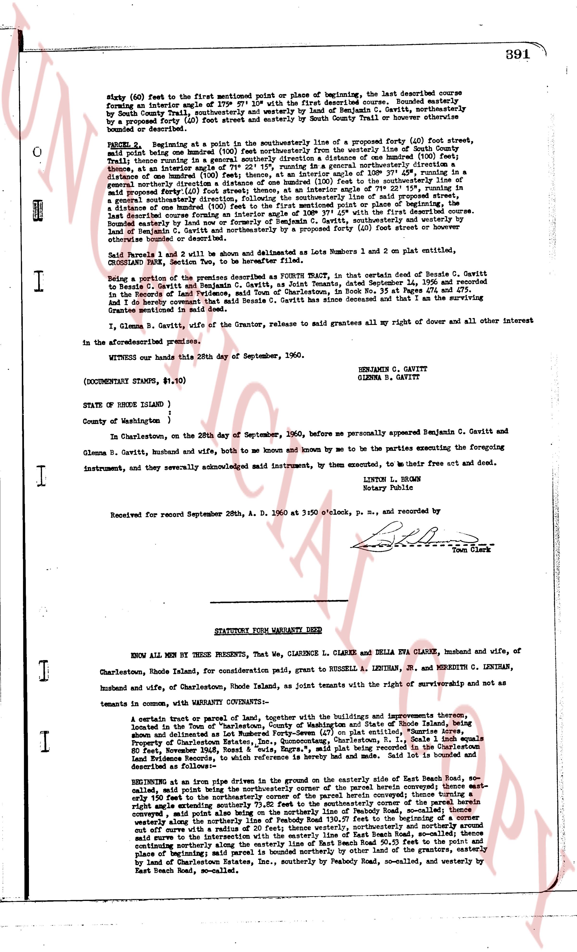
391
sixty (60) feet to the first mentioned point or place of beginning, the last described course forming an interior angle of 379° 57' 10" with the first described course. Bounded easterly by South County Trail, southerly and westerly by land of Benjamin C. Gavitt, northerly by a proposed street (40) foot street running parallel to South County Trail or however then bounded or described.
PARCEL B Beginning at a pin in the southeasterly line of a proposed forty (40) foot street, said pin being between boundary (100) foot westerly thence in a general southerly direction a distance of one hundred (100) feet, thence running in a general southerly direction a distance of one hundred (100) feet, thence at an interior angle of 108° 37' 49" running in a general southeasterly direction a distance of one hundred (100) feet, thence running in a general southeasterly direction to the southeasterly line of said proposed forty (40) foot street, thence at an interior angle of 71° 22' 15" running, in a general southeasterly direction a distance of one hundred (100) feet to the first mentioned point or place of beginning, the last described course forming an interior angle of 108° 37' 49" with the first described course. Bounded easterly by land of Benjamin C. Gavitt, southerly and westerly by land of Benjamin C. Gavitt, northerly and easterly by a proposed forty (40) foot street or however then bounded or described.
Said Parcels 1 and 2 will be shown and delineated as Lots number 1 and 2 on plat entitled, CROSSLAND PARK, State Section Two, to be hereafter filed.
Being a portion of the premises described as Fourth Wallet, in that certain deed of Beazie C. Gavitt to Beazie C. Gavitt and Beatrice M. Gavitt, heirs of Beazie Gavitt and Remants, dated September 14, 1956 and recorded in the Records of Land Evidence, town of Charlestown, in Book No. 35 at Pages 474 and 475. And I further certify that said Beazie C. Gavitt has since deceased and that I am the surviving Grantee mentioned in said deed.
I, Glenna B. Gavitt, wife of the Grantor, release to said grantees all my right of dower and all other interest in the aforementioned premises.
WITNESS our hands this 28th day of September, 1960.
BENJAMIN C. GAVITT
GLENNA B. GAVITT
(DOCUMENTARY STAMPS, $1.10)
STATE OF RHODE ISLAND )
County of Washington )
In Charlestown, on the 28th day of September, 1960, before me personally appeared Benjamin C. Gavitt and Glenna B. Gavitt, husband and wife, both to me known and known by me to be the parties executing the foregoing instrument, and they severally acknowledged said instrument, by them executed, to me their free act and deed.
LINTON L. BROWN
Notary Public
Received for record September 28th A. D. 1960 at 3:50 o'clock, p. M., and recorded by
[Signature]
Town Clerk
----
STATUTORY FORM WARRANTY DEED
KNOW ALL MEN BY THESE PRESENTS, That We, CLARENCE L. CLARKE and ELVA EVA CLARKE, husband and wife, of Charlestown, Rhode Island, for consideration paid grant, to RUSSELL A. LENTHIAN, JR. and MEREDITH C. LENTHIAN, husband and wife, of Charlestown, Rhode Island, as joint tenants with the right of survivorship and not as tenants in common, with WARRANTY CONVEYANCE:
A certain tract or parcel of land, together with the buildings and improvements thereon situated, located in the town of Charlestown, County of Washington and State of Rhode Island, being shown and delineated as Lot number Seventy-Four (74) on plat entitled, "Sunrise Acres" Property of Charlestown Estates, Inc. said plat being recorded in the Land Evidence Records in Book 346 at Page 1016, dated June 1946, Book 8 "outs, Eggs, etc.", said plat being recorded in the Land Evidence Records, of this reference which he hereby referred to and made part of this deed. Said lot is bounded and described as follows:
Beginning at an iron pipe driven in the ground on the easterly side of East Beach Road, the first mentioned point, said point being the northeasterly corner of the said parcel hereof; thence running east, at right angle easterly south to the northeasterly corner of the said parcel hereof; thence turning a right angle easterly southernly extending 73.02 feet to the southeasterly corner of the said parcel hereof; thence turning a right angle easterly southernly to the northerly line of Peabody Road, so-called, thence continuing westerly along the northerly line of Peabody Road 130.57 feet to the beginning of a curve set off curve with a radius of 100 feet, running northerly and westerly around said curve to the intersection with the easterly line of East Beach Road, so-called; thence continuing southerly along the easterly line of East Beach Road 70.20 feet to the first mentioned point and place of beginning; said parcel is bounded northerly by other land of the grantors, easterly by land of Charlestown Estates, Inc., southerly by Peabody Road, so-called, and westerly by East Beach Road, so-called.
The page as recorded