The instrument's own words
page 1 · read by Gemma vision
388
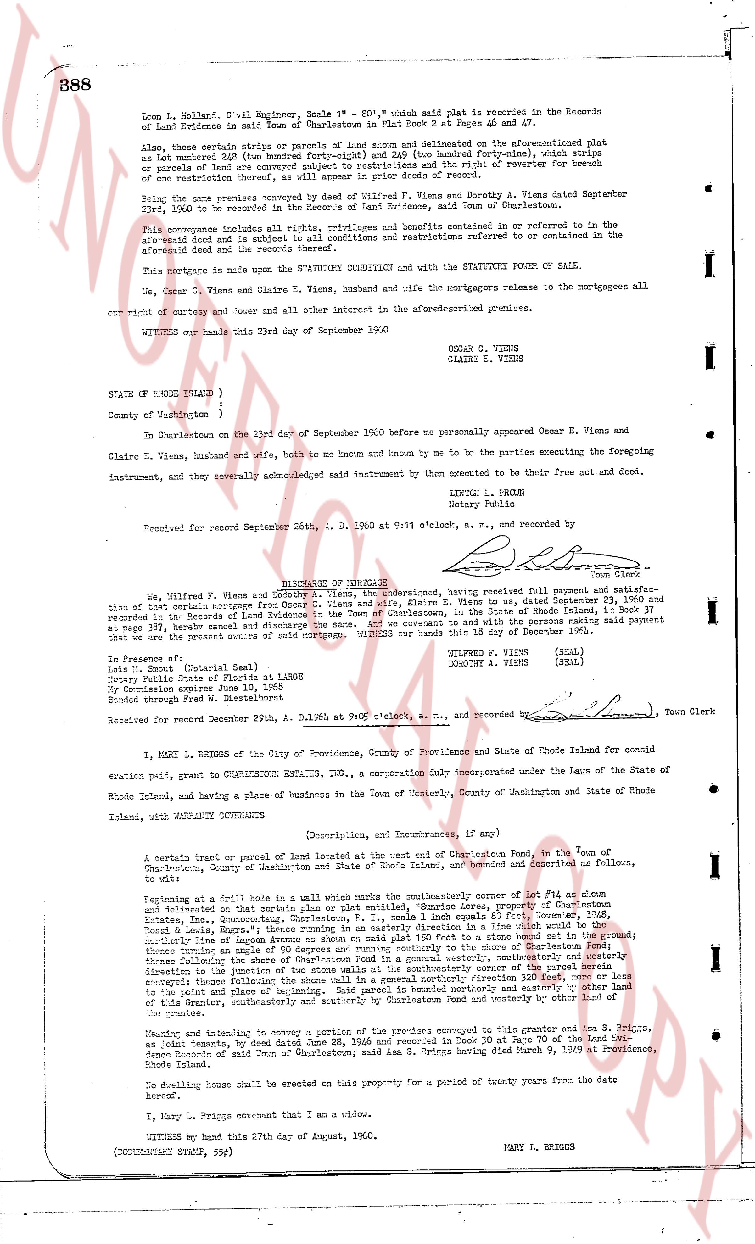
Leon L. Holland, C.vil Engineer, Scale 1" = 80", which said plat is recorded in the Records of Land Evidence in said Town of Charlestown in Plat Book 2 at Pages 46 and 47.
Also, those certain strip or parcels of land show and delineated on the aforementioned plat as lot number 12 (as marked) and lot number 13 (as marked) (forty-nine), which strips or parcels of land are conveyed subject to restrictions and the right of reverter for breach of one restriction thereunto, as set forth in the deed of record.
Being the same premises conveyed by deed of Wilfred P. Viens and Dorothy A. Viens dated September 23rd, 1960 to be recorded in the Records of Land Evidence, said Town of Charlestown.
This conveyance includes all rights, privileges and benefits contained or referred to in the aforesaid deed and is subject to all conditions and restrictions referred to or contained in the aforesaid deed and the reservations thereunto.
This mortgage is made upon the STATUTORY COVENANT AND with the STATUTORY FORM OF SALE.
We, Oscar C. Viens and Claire E. Viens, husband and wife the mortgagors release to the mortgagees all our right of entry and cover and all other interest in the aforementioned premises.
WITNESS our hands this 23rd day of September 1960
OSCAR C. VIENS
CLAIRE E. VIENS
STATE OF RHODE ISLAND )
County of Washington )
At Charlestown on the 23rd day of September 1960 before me personally appeared Oscar E. Viens and Claire E. Viens, husband and wife, both be and known by me to be the parties executing the foregoing instrument, and they severally acknowledged said instrument by them consented to be their free act and deed.
LINTON L. BRIGH
Notary Public
Received for record September 26th, A. D. 1960 at 9:11 o'clock a. m., and recorded by
[Signature] Town Clerk
----
QUITCLAIM DEED
We, Wilfred P. Viens and Dorothy A. Viens, the undersigned, having received full payment and satisfaction of certain mortgage from Oscar C. Viens and wife, Claire E. Viens to us, dated September 23, 1960 and recorded in the Records of Land Evidence of the Town of Charlestown, State of Rhode Island in Book 37 Page 388, have paid said mortgage cancel and discharge the same. And we covenant and to with the persons making said payment that we are the present owners of said mortgage. WITNESS our hands this 18 day of December 1964.
In Presence of
Linton L. Brigh (Notary Seal)
Notary Public State of Rhode Island
My Commission expires September 1965
Bonded through West Fidelmorter Insurance Co.
WILFRED P. VIENS (seal)
DOROTHY A. VIENS (SEAL)
Received for record December 29th, A. D. 1964 at 9:00 o'clock a. m., and recorded by [Signature] Town Clerk
I, MARY L. BRIGGS of the City of Providence, County of Providence and State of Rhode Island consider evaluation paid, grant to CHARLESTOWN ESTATES, INC., a corporation duly incorporated under the Laws of the State of Rhode Island, and having a place of business in the Town of Westerly, County of Washington and State of Rhode Island, and warranty QUITCLAIM thereunto
(Description, and Encumbrances, if any)
A certain tract or parcel of land located west of the east side of Charlestown Road, in the Town of Charlestown, County of Washington, State of Rhode Island, which is bounded and described as follows, beginning to wit:
beginning at a drill hole in a wall which marks the southeasterly corner of Lot 40 as shown and delineated on that certain plan or plat entitled, "Shoreline area, Property of Charlestown Estates, Inc., Oceanquam, Charlestown, P.I.", scale 1 inch equals 80 feet, Owner, Shoreline Estates, Inc., Oceanquam, Charlestown, P.I., then westerly along said wall a distance of 110 feet to a stone bound set in the ground; thence northerly along a line parallel to the east line of the aforementioned plat a distance of 110 feet to the northerly line of Oceanquam avenue as shown on said plat 150 feet to a stone bound set in the ground; thence northerly along a line parallel to the east line of the aforementioned plat a distance of 110 feet to the northerly line of Oceanquam avenue as shown on said plat 150 feet to a stone bound set in the ground; thence northerly along a line parallel to the east line of the aforementioned plat a distance of 110 feet to the northerly line of Oceanquam avenue as shown on said plat 150 feet to a stone bound set in the ground; thence northerly along a line parallel to the east line of the aforementioned plat a distance of 110 feet to the northerly line of Oceanquam avenue as shown on said plat 150 feet to a stone bound set in the ground; thence northerly along a line parallel to the east line of the aforementioned plat a distance of 110 feet to the northerly line of Oceanquam avenue as shown on said plat 150 feet to a stone bound set in the ground; thence northerly along a line parallel to the east line of the aforementioned plat a distance of 110 feet to the northerly line of Oceanquam avenue as shown on said plat 150 feet to a stone bound set in the ground; thence northerly along a line parallel to the east line of the aforementioned plat a distance of 110 feet to the northerly line of Oceanquam avenue as shown on said plat 150 feet to a stone bound set in the ground; thence northerly along a line parallel to the east line of the aforementioned plat a distance of 110 feet to the northerly line of Oceanquam avenue as shown on said plat 150 feet to a stone bound set in the ground; thence northerly along a line parallel to the east line of the aforementioned plat a distance of 110 feet to the northerly line of Oceanquam avenue as shown on said plat 150 feet to a stone bound set in the ground; thence northerly along a line parallel to the east line of the aforementioned plat a distance of 110 feet to the northerly line of Oceanquam avenue as shown on said plat 150 feet to a stone bound set in the ground; thence northerly along a line parallel to the east line of the aforementioned plat a distance of 110 feet to the northerly line of Oceanquam avenue as shown on said plat 150 feet to a stone bound set in the ground; thence northerly along a line parallel to the east line of the aforementioned plat a distance of 110 feet to the northerly line of Oceanquam avenue as shown on said plat 150 feet to a stone bound set in the ground; thence northerly along a line parallel to the east line of the aforementioned plat a distance of 110 feet to the northerly line of Oceanquam avenue as shown on said plat 150 feet to a stone bound set in the ground; thence northerly along a line parallel to the east line of the aforementioned plat a distance of 110 feet to the northerly line of Oceanquam avenue as shown on said plat 150 feet to a stone bound set in the ground; thence northerly along a line parallel to the east line of the aforementioned plat a distance of 110 feet to the northerly line of Oceanquam avenue as shown on said plat 150 feet to a stone bound set in the ground; thence northerly along a line parallel to the east line of the aforementioned plat a distance of 110 feet to the northerly line of Oceanquam avenue as shown on said plat 150 feet to a stone bound set in the ground; thence northerly along a line parallel to the east line of the aforementioned plat a distance of 110 feet to the northerly line of Oceanquam avenue as shown on said plat 150 feet to a stone bound set in the ground; thence northerly along a line parallel to the east line of the aforementioned plat a distance of 110 feet to the northerly line of Oceanquam avenue as shown on said plat 150 feet to a stone bound set in the ground; thence northerly along a line parallel to the east line of the aforementioned plat a distance of 110 feet to the northerly line of Oceanquam avenue as shown on said plat 150 feet to a stone bound set in the ground; thence northerly along a line parallel to the east line of the aforementioned plat a distance of 110 feet to the northerly line of Oceanquam avenue as shown on said plat 150 feet to a stone bound set in the ground; thence northerly along a line parallel to the east line of the aforementioned plat a distance of 110 feet to the northerly line of Oceanquam avenue as shown on said plat 150 feet to a stone bound set in the ground; thence northerly along a line parallel to the east line of the aforementioned plat a distance of 110 feet to the northerly line of Oceanquam avenue as shown on said plat 150 feet to a stone bound set in the ground; thence northerly along a line parallel to the east line of the aforementioned plat a distance of 110 feet to the northerly line of Oceanquam avenue as shown on said plat 150 feet to a stone bound set in the ground; thence northerly along a line parallel to the east line of the aforementioned plat a distance of 110 feet to the northerly line of Oceanquam avenue as shown on said plat 150 feet to a stone bound set in the ground; thence northerly along a line parallel to the east line of the aforementioned plat a distance of 110 feet to the northerly line of Oceanquam avenue as shown on said plat 150 feet to a stone bound set in the ground; thence northerly along a line parallel to the east line of the aforementioned plat a distance of 110 feet to the northerly line of Oceanquam avenue as shown on said plat 150 feet to a stone bound set in the ground; thence northerly along a line parallel to the east line of the aforementioned plat a distance of 110 feet to the northerly line of Oceanquam avenue as shown on said plat 150 feet to a stone bound set in the ground; thence northerly along a line parallel to the east line of the aforementioned plat a distance of 110 feet to the northerly line of Oceanquam avenue as shown on said plat 150 feet to a stone bound set in the ground; thence northerly along a line parallel to the east line of the aforementioned plat a distance of 110 feet to the northerly line of Oceanquam avenue as shown on said plat 150 feet to a stone bound set in the ground; thence northerly along a line parallel to the east line of the aforementioned plat a distance of 110 feet to the northerly line of Oceanquam avenue as shown on said plat 150 feet to a stone bound set in the ground; thence northerly along a line parallel to the east line of the aforementioned plat a distance of 110 feet to the northerly line of Oceanquam avenue as shown on said plat 150 feet to a stone bound set in the ground; thence northerly along a line parallel to the east line of the aforementioned plat a distance of 110 feet to the northerly line of Oceanquam avenue as shown on said plat 150 feet to a stone bound set in the ground; thence northerly along a line parallel to the east line of the aforementioned plat a distance of 110 feet to the northerly line of Oceanquam avenue as shown on said plat 150 feet to a stone bound set in the ground; thence northerly along a line parallel to the east line of the aforementioned plat a distance of 110 feet to the northerly line of Oceanquam avenue as shown on said plat 150 feet to a stone bound set in the ground; thence northerly along a line parallel to the east line of the aforementioned plat a distance of 110 feet to the northerly line of Oceanquam avenue as shown on said plat 150 feet to a stone bound set in the ground; thence northerly along a line parallel to the east line of the aforementioned plat a distance of 110 feet to the northerly line of Oceanquam avenue as shown on said plat 150 feet to a stone bound set in the ground; thence northerly along a line parallel to the east line of the aforementioned plat a distance of 110 feet to the northerly line of Oceanquam avenue as shown on said plat 150 feet to a stone bound set in the ground; thence northerly along a line parallel to the east line of the aforementioned plat a distance of 110 feet to the northerly line of Oceanquam avenue as shown on said plat 150 feet to a stone bound set in the ground; thence northerly along a line parallel to the east line of the aforementioned plat a distance of 110 feet to the northerly line of Oceanquam avenue as shown on said plat 150 feet to a stone bound set in the ground; thence northerly along a line parallel to the east line of the aforementioned plat a distance of 110 feet to the northerly line of Oceanquam avenue as shown on said plat 150 feet to a stone bound set in the ground; thence northerly along a line parallel to the east line of the aforementioned plat
page 2 · read by Gemma vision
STATE OF RHODE ISLAND ETC.)
County of Washington ) ss.
)
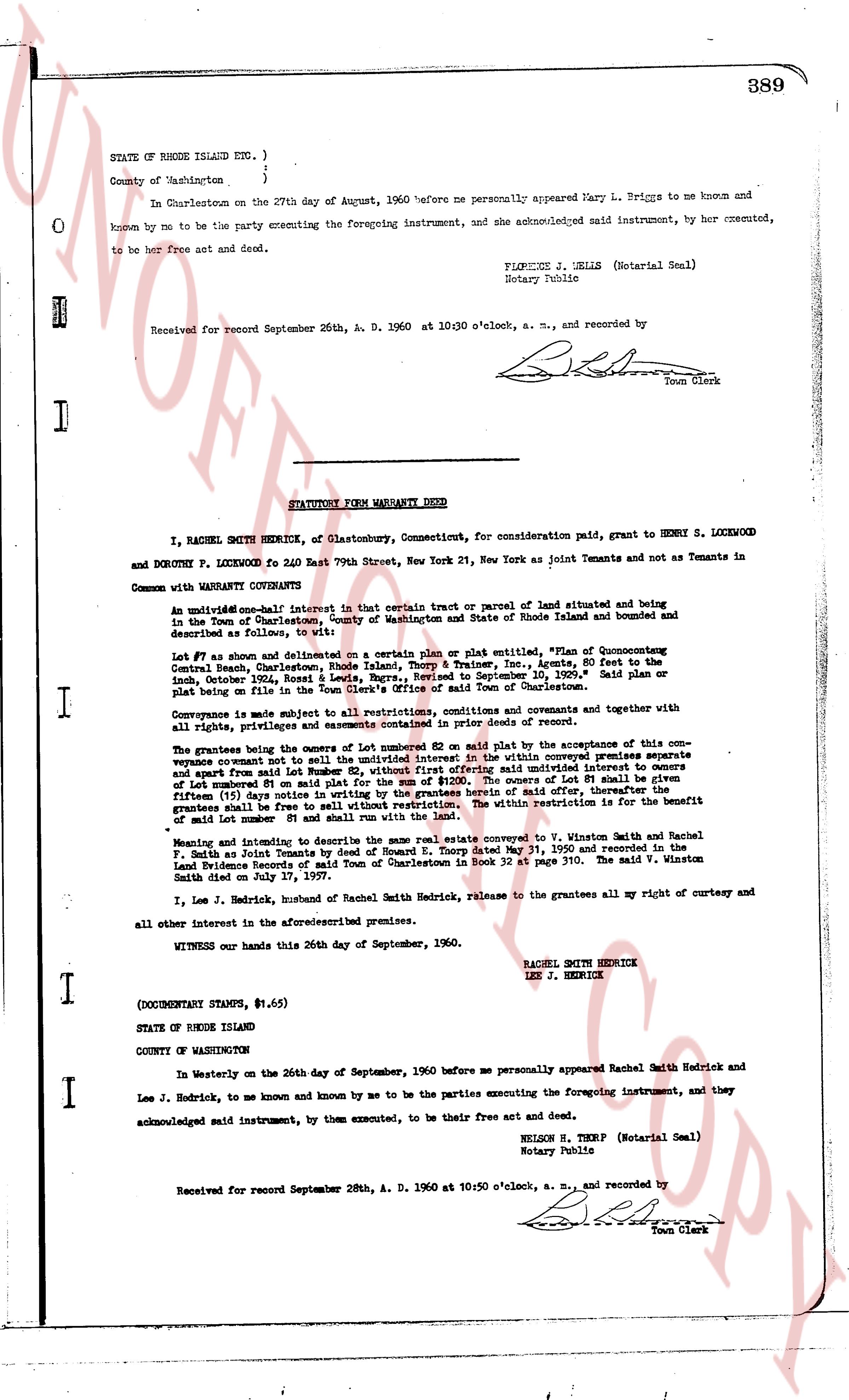
In Charlestown on the 27th day of August, 1960 before me personally appeared Mary L. Briggs to me known and known by me to be the party executing the foregoing instrument, and she acknowledged said instrument, by her executed, to be her free act and deed.
FIPGENE J. SELLS (Notarial Seal)
Notary Public
Received for record September 26th, A. D. 1960 at 10:30 o'clock, a. m., and recorded by
[Signature]
Town Clerk
----
STATUTORY FORM WARRANTY DEED
I, RACHEL SMITH HEDRICK, of Glastonbury, Connecticut, for consideration paid, grant to HENRY S. LOCKWOOD and DOROTHY P. LOCKWOOD fo 240 East 79th Street, New York 21, New York as Joint Tenants and not as Tenants in Common with WARRANTY CONVEYANTS
An undivided one-half interest in that certain tract or parcel of land situated and being in the Town of Charlestown, County of Washington and State of Rhode Island and bounded and described as follows, to wit:
Lot #7 as shown and delineated on a certain plan or plat entitled, "Plan of Cononcutung Central Beach, Charlestown, Rhode Island, Thorp & Trainer, Inc., Agents, 80 feet to the Inch, October 1924, Rosset & Lewis, Nayatt, Rhode Island, Revised to September 10, 1957." Said plan or plat being on file in the Town Hall of Charlestown and filed from the Town of Charlestown.
Conveyed subject to all restrictions, conditions, covenants and agreements together with all rights, privileges and easements contained in prior deeds of record.
The grantees bearing the onus of Lot numbered 62 so paid the plat by the acceptance of this conveyance waive covenant not to sell the undivided one-half interest in within conveyed premises except and save from said Lot numbered 81 on said plat for the sum of $1200. The owners of Lot numbered 62 shall have a right of first refusal to purchase the undivided one-half interest in owners of Lot numbered 81 on said plat for the sum of $1200. The owners of Lot #81 shall have a first fifteen day option notice of any offer, therefore, the grantees shall be free to sell without restriction. The within restriction is for the benefit of Lot numbered 62 and no other.
Meaning and intending to describe the same real estate conveyed to V. Winston Smith and Rachel F. Smith as Joint Tenants by deed of Howard E. Thorp dated May 31, 1950 and recorded in the Land Evidence Records of the Town of Charlestown in Book 32 page 310. The said V. Winston Smith died on July 17, 1957.
I, Lee J. Hedrick, husband of Rachel Smith Hedrick, release to the grantees all my right of curtesy and all other interest in the aforesaid premises.
Witness our hands this 26th day of September, 1960.
RACHEL SMITH HEDRICK
LEE J. HEDRICK
(DOCUMENTARY STAMPS, $1.65)
STATE OF RHODE ISLAND
COUNTY OF WASHINGTON
In Westerly on the 26th day of September, 1960 before me personally appeared Rachel Smith Hedrick and Lee J. Hedrick, to me known and by me to be the parties executing the foregoing instrument, and they acknowledged said instrument, by them executed, to be their free act and deed.
NELSON R. THORP (Notarial Seal)
Notary Public
Received for record September 28th, A. D. 1960 at 10:50 o'clock, a. m., and recorded by
[Signature]
Town Clerk
The page as recorded