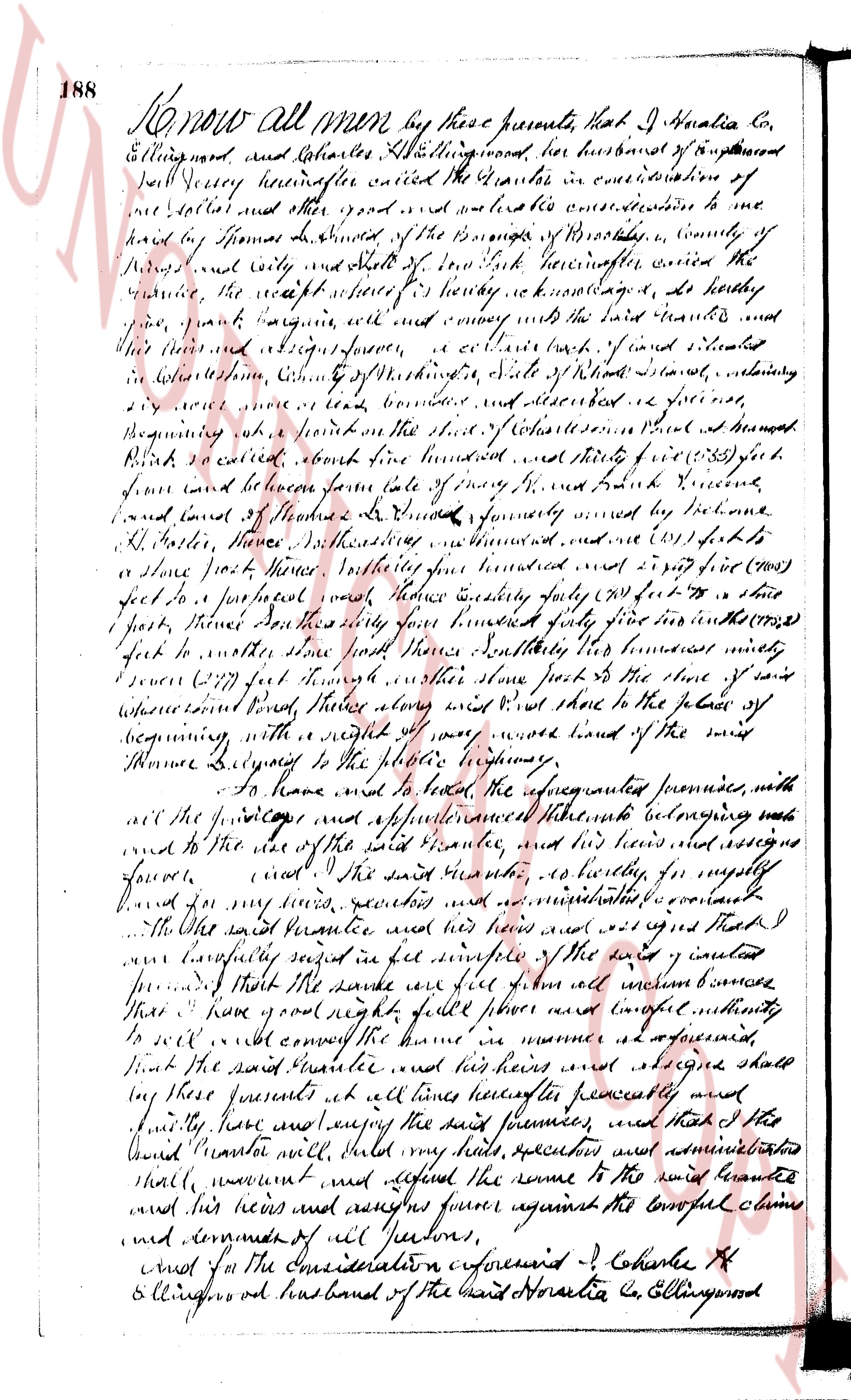
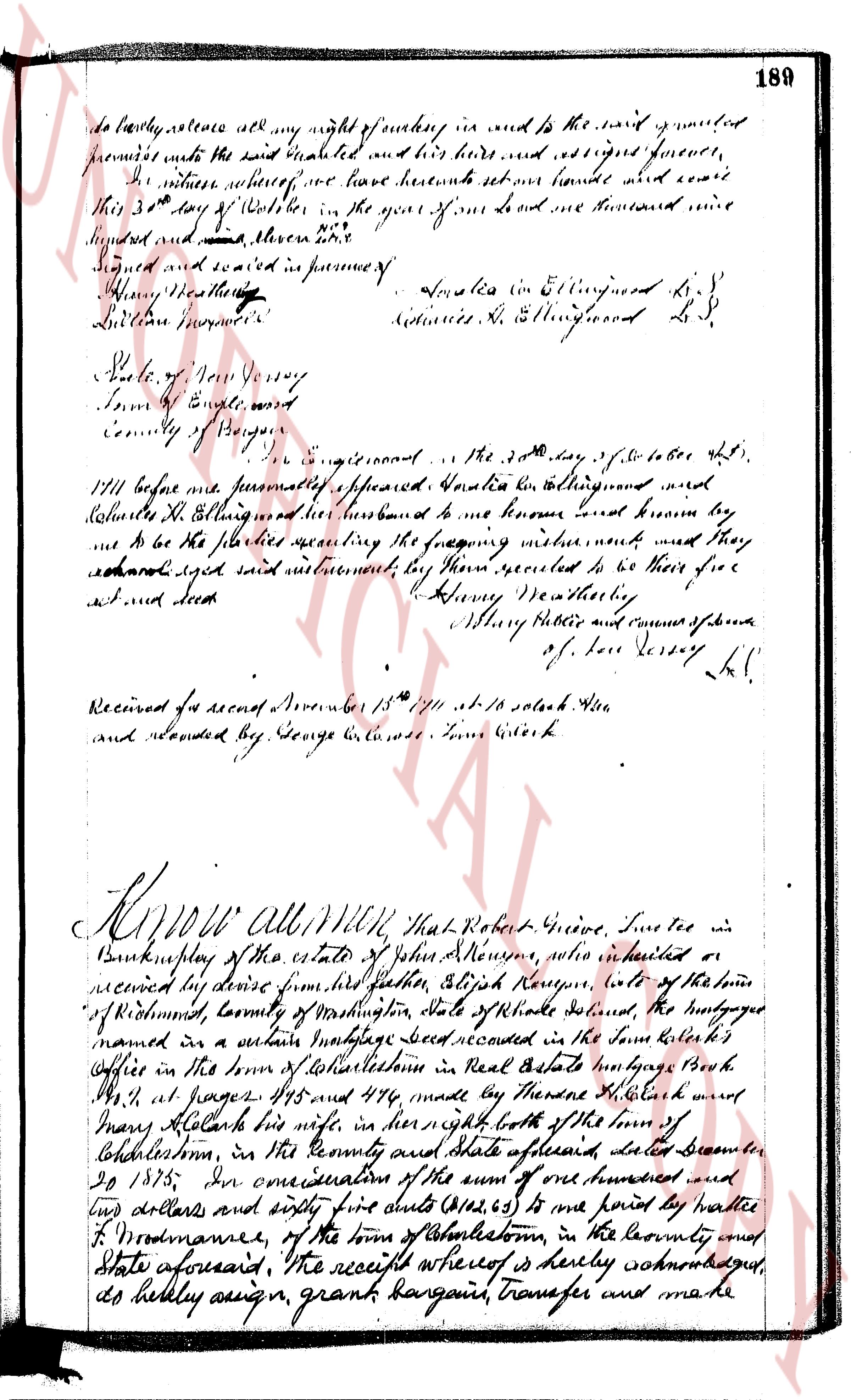
The instrument's own words
Attribution under review. The portal's file number is shared by more than one instrument, and the words below could not be placed with certainty on this one by their own evidence (page stamp, parties, dates); they may belong to a neighbouring instrument. Read them as the record of the page, not yet as this deed's own.
page 1
372
KNOW ALL MEN BY THESE PRESENTS, That I, PATRICIA A. MILLER, of 149 Weaver Street, Greenwich, Con-
necticut, for consideration paid, grant to EDWARD W. MILLER, of 149 Weaver, Greenwich, Connecticut, with
quit claim covenants, the following described property:
ALL that certain piece of land in the Town of Charlestown, County of Washington, State
of Rhode Island, located in Town of Charlestown on the northerly shore of the arm of Charlestown Pond,
more particularly bounded and described as follows:
Commencing at a point on the shore of the State of Rhode Island running there in a westerly direction
beginning at a stake marking the boundary of the State of Rhode Island, 50 feet, more or less to a stake $\text{\textcircled{1}}$
along land now or formerly of the property of Leonard L. Arnold; 105.52 feet running $\text{\textcircled{2}}$ north 13/64 degrees east to a stake;
Turning then $\text{\textcircled{3}}$ north 100.12 degrees east 105.52 feet running $\text{\textcircled{4}}$ west 20 degrees north to a stake;
Turning then $\text{\textcircled{5}}$ north 100.12 degrees east 105.52 feet running $\text{\textcircled{6}}$ south 13/64 degrees east to the high water mark at the
Low tide line of Providence Bay;
Turning then $\text{\textcircled{7}}$ south 90 degrees west of the "Rails" of Summa L. Arnold 45 feet running $\text{\textcircled{8}}$ south to the high water mark at the
Low tide line of Providence Bay;
Turning then $\text{\textcircled{9}}$ south 90 degrees west of the "Rails" of Summa L. Arnold 45 feet running $\text{\textcircled{10}}$ north to the High water mark at
the Low tide line of Providence Bay;
Turning then $\text{\textcircled{11}}$ south 90 degrees west of the "Rails" of Summa L. Arnold 45 feet running $\text{\textcircled{12}}$ north to the High water mark at the
entry along the shore of Charlestown Pond to the stake and point of beginning, as said parcel is bounded
property being a peninsula extending into the bay an area of 1.08 more or less acres and being known as
"Bee Cove" or Button Rock Point Shore.
Together with a right of way to the East Road by both the east and west exits over the so-called
Arnold's Road.
Together with such other rights of way and such additional rights as were conveyed to the said
Patricia A. Miller by a certain deed from Lyndon Arnold, Thomas L. Arnold and Washington Trust
Company, as Trustee under the Last Will and Testament of Thomas L. Arnold, dated December 15,
1943, and recorded as December 5, 1945, and recorded in Land Evidence of said Town of Charlestown,
in Book 59, on page 89 at pages 63-64.
To have and to hold the premises, with all the rights, privileges and appurtenances, thereto apper-
taining unto the said Edward W. Miller, his heirs and assigns forever, so that neither I, the said Patricia
A. Miller, nor my heirs nor any other person one or more shall hereafter have any claim, right or title
in or to the premises, or any part thereof, but therefore I and they are by these presents forever barred
and excluded.
WITNESS my hand and seal this 29th day of August A. D. 1960.
(Signed) PATRICIA A. MILLER L.S.
Patricia A. Miller
Signed, Sealed and Delivered
in presence of
Nancy P. Thomas
David F. Rasson, Jr.
STATE OF CONNECTICUT }
COUNTY OF FAIRFIELD } ss.
In Stamford in said County on the 29th day of August A. D. 1960, before me personally appeared the above
named grantor, PATRICIA A. MILLER, to me known, and known by me to be the party executing the foregoing instru-
ment, and she acknowledged said instrument, by her executed to be her free act and deed.
DAVID F. RASSON, JR. (Notarial Seal)
Notary Public
My Commission expires March 31, 1964.
STATE OF CONNECTICUT }
COUNTY OF FAIRFIELD }
County Clerk's Office.
I, J. LEO CAMPANA, Clerk of said Court and of the Superior Court now in for said County, the same being
a Court of Record, having by law a seal hereby certify, that David F. Rasson, Jr., whose name is subscribed to the
certificate of proof acknowledging the execution of the annexed instrument, and there written witness, was, at the
time of taking such proof, acknowledgment or affidavit, a Notary Public, with and for said County, residing in said
state, duly appointed, qualified and acting as such, and that said Notary Public, has complied with the law, and
take the acknowledgment proofs and deeds of conveyances for lands, in those tenements and hereditaments in said
state, in the manner prescribed by law, and that the seal attached to said certificate is the seal of said Notary Public,
to be given to his official acts; and I further certify that I have compared the signature to the original certificate
to be the true signature of said Notary Public, and that said certificate is a true copy of the original certificate
with that deposited in this office and that said certificate is not required to be under seal, and the person signing such certi-
ficate is not required by law to file in this office an impression of his official seal.
In testimony whereof, I have hereunto set my hand and affixed the seal of said Court, at Bridgeport, in
said County and State, on the 7th day of September 1960.
J. LEO CAMPANA
By Joseph P. Runces, Deputy Clerk (L.S.)
Received for record September 12th, A. D. 1960 at 9:00 o'clock, a. m., and recorded by
(Signature)
Town Clerk
The page as recorded