The instrument's own words
page 1 · read by Gemma vision
354
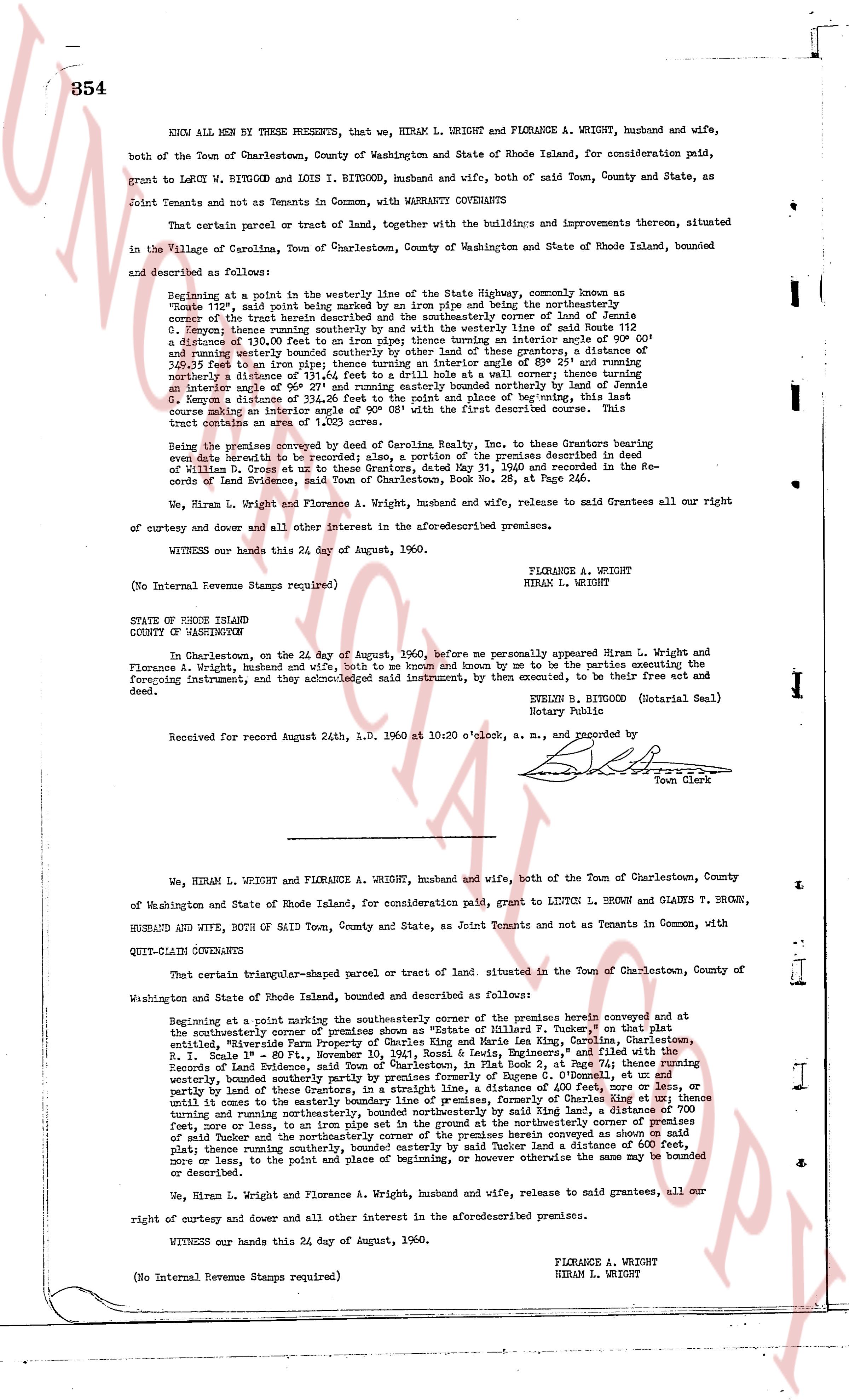
KNOW ALL MEN by THESE PRESENTS, that we, HIRAM L. WRIGHT and FLORANCE A. WRIGHT, husband and wife,
both of the Town of Charlestown, County of Washington and State of Rhode Island, for consideration paid,
grant to LEROY W. RITGOOD and LOIS I. RITGOOD, husband and wife, both of said Town, County and State, as
Joint Tenants and not as Tenants in Common, with WARRANTY CONVEYANCE
That certain parcel or tract of land, together with the buildings and improvements thereon, situated
in the Village of Carlinsville, Town of Charlestown, County of Washington and State of Rhode Island, bounded
and described as follows:
Beginning at a point in the paved way of the State Highway, commonly known as
Route 138, said point being marked by an iron pipe and being the southeasterly corner of a
parcel of the tract herein described and being the southeasterly corner of land of Jennie
G. [?] reports title running easterly by said way and then northerly a westerly line of said Route 138
a distance of 130.00 feet to an iron pipe; thence turning an interior angle of 90° 00' and
running northerly a distance of 150.00 feet to an iron pipe; thence turning an interior angle of 49° 21' and running
northerly a distance of 150.00 feet to an iron pipe at a wall boundary; thence turning an interior
an angle of 90° 39' east and running easterly bounded northerly by land of Stephen [?]
G. [?] a distance of 150.00 feet to an iron pipe; thence turning an interior angle of 90° 08' with the first described
line that tract contains an area of 1.100 acres.
Being the same premises void of any Carolina Real Estate, Inc. to these Grantors bearing
even date herewith to be recorded; also, a portion of the premises described in a deed
of William G. [?] and [?] to [?] dated May 15, 1911 and recorded in the re-
cords of Land Evidence, said Town of Charlestown, Book No. 28, at Page 246.
We, Hiram L. Wright and Florance A. Wright, husband and wife, release to named Grantees all our
right of curtesy and dower and all other interest in the aforesaid premises.
WITNESS our hands this 24 day of August, 1960.
FLORANCE A. WRIGHT
HIRAM L. WRIGHT
(No Internal Revenue Stamps required)
STATE OF RHODE ISLAND
COUNTY OF WASHINGTON
In Charlestown, on the 24 day of August, 1960, before me personally appeared Hiram L. Wright and
Florance A. Wright, husband and wife, said to be known and known by me to be the parties executing the
foregoing instrument, and they acknowledged said instrument, by them executed, to be their free act and
deed.
EVELYN B. BITGOOD (Notarial Seal)
Notary Public
Received for record August 24th, A.D. 1960 at 10:20 o'clock, a.m., and recorded by [signature]
Town Clerk
----
We, HIRAM L. WRIGHT and FLORANCE A. WRIGHT, husband and wife, both of the Town of Charlestown, County
of Washington and State of Rhode Island, for consideration paid, grant to LINTON L. BROWN and GLADYS T. BROWN,
HUSBAND AND WIFE, BOTH OF SAID Town, County and State, as Joint Tenants and not as Tenants in Common, with
QUIT-CLAIM CONVEYANCE
That certain triangular-shaped parcel or tract of land, situated in the Town of Charlestown, County of
Washington and State of Rhode Island, bounded and described as follows:
Beginning at a point marking the southeasterly corner of the premises herein conveyed at
the southeasterly corner of premises known as "Winslow of Millard F. Tucker" on that part
of the southeasterly boundary line of said premises running North East, along the Carlinsville,
Charlestown, "Millard-Winslow Farm" Property, recorded in the Land Evidence Records,
R.I. Seal No 1 - Scale 1" = 80', Nov 10, 1941, Rossell L. Egils, Registrar, and filed with the
Records of Land Evidence, Town of Charlestown, Book 34, Page 21, a distance of 201 feet running
westerly, bounded southerly partly by premises of Eugene B. O'Connell, et ux and
partly by land of these Grantors, and partly by the paved way of Carlinsville Road, et seq,
until it comes to the easterly boundary line of premises, formerly of Charles King et ux; thence
turning and running easterly along said boundary line of said King et ux, a distance of 200 feet,
more or less, to an iron pipe set in the ground at the northeasterly corner of premises
of said Tucker and the northeasterly corner of the premises herein conveyed at the northeasterly
plat; thence running southwesterly along the easterly by said Tucker land a distance of 600 feet,
more or less, to the point and place of beginning, or however otherwise the same may be bounded
or described.
We, Hiram L. Wright and Florance A. Wright, husband and wife, release to said grantees, all our
right of curtesy and dower and all other interest in the aforesaid premises.
WITNESS our hands this 24 day of August, 1960.
FLORANCE A. WRIGHT
HIRAM L. WRIGHT
(No Internal Revenue Stamps required)
page 2 · read by Gemma vision
355
STATE OF RHODE ISLAND
COUNTY OF WASHINGTON
In Charlestown, on the 24 day of August, 1960, before me personally appeared Hiram L. Wright and Florance A. Wright, husband and wife, both to me known and known by me to be the parties executing the foregoing instrument, and they acknowledged said instrument, by them executed to be their free act and deed.
EVELYN B. BITGOOD, (Notarial Seal)
Notary Public
Received for record August 24th, A. D. 1960 at 10:25 o'clock, a. m., and recorded by
[Signature]
Town Clerk
----
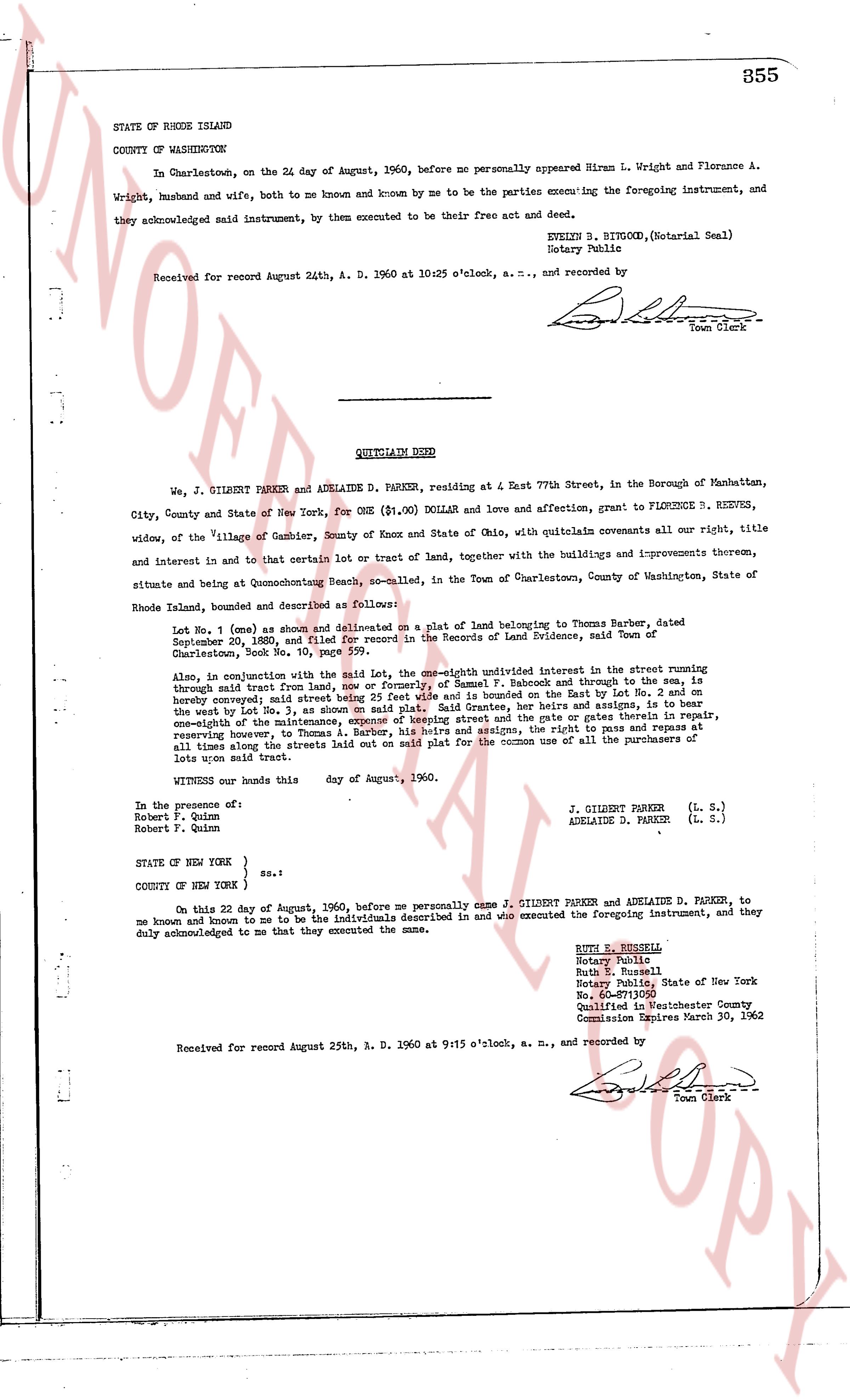
QUITCLAIM DEED
We, J. GILBERT PARKER and ADELAIDE D. PARKER, residing at 4 East 77th Street, in the Borough of Manhattan, City, County and State of New York, for ONE ($1.00) DOLLAR and love and affection, grant to FLORENCE D. REEVES, widow, of the Village of Gambier, County of Knox and State of Ohio, with quitclaim covenants all our right, title and interest in and to that certain lot or tract of land, together with the buildings and improvements thereon, situate and being at Quonochontouch Beach, so-called, in the Town of Charlestown, County of Washington, State of Rhode Island, bounded and described as follows:
Lot No. 1 (one) as shown and delineated on a plat of land belonging to Thomas Barber, dated September 29th, 1880, and filed in the Records of Land Evidence, said Town of Charlestown, Shock Book No. 10, page 599.
Also, in conjunction with the said Lot, the one-eight undivided interest in the street running through said lot from land of [?] or formerly of Samuel F. Babcock and through to the sea, is hereby conveyed said street being 25 feet wide and bound on the East by Lot No. 1, and on the West by Lot No. 2, both belonging to said Grace Reeves, her heirs and assigns, is to bear one-eighth of the maintenance, expense of keeping street and the gate or gates therein in repair, reserving however, to Thomas Barber and his heirs, the right to pass and repass said street at all times along the streets laid out on said plat for the common use of all the purchasers of lots upon said tract.
WITNESS our hands this [?] day of August, 1960.
In the presence of:
Robert F. Quinn
Robert F. Quinn
J. GILBERT PARKER (L. S.)
ADELAIDE D. PARKER (L. S.)
STATE OF NEW YORK }
COUNTY OF NEW YORK } ss.:
On this 22 day of August, 1960, before me personally came J. GILBERT PARKER and ADELAIDE D. PARKER, to me known and known to me to be the individuals described in and who executed the foregoing instrument, and they duly acknowledged to me that they executed the same.
RUTH E. RUSSELL
Notary Public
Ruth E. Russell
Notary Public, State of New York
No. 4304
Qualified in Westchester County
Commission Expires March 30, 1962
Received for record August 25th, A. D. 1960 at 9:15 o'clock, a. m., and recorded by
[Signature]
Town Clerk
The page as recorded