The instrument's own words
page 1 · read by Gemma vision
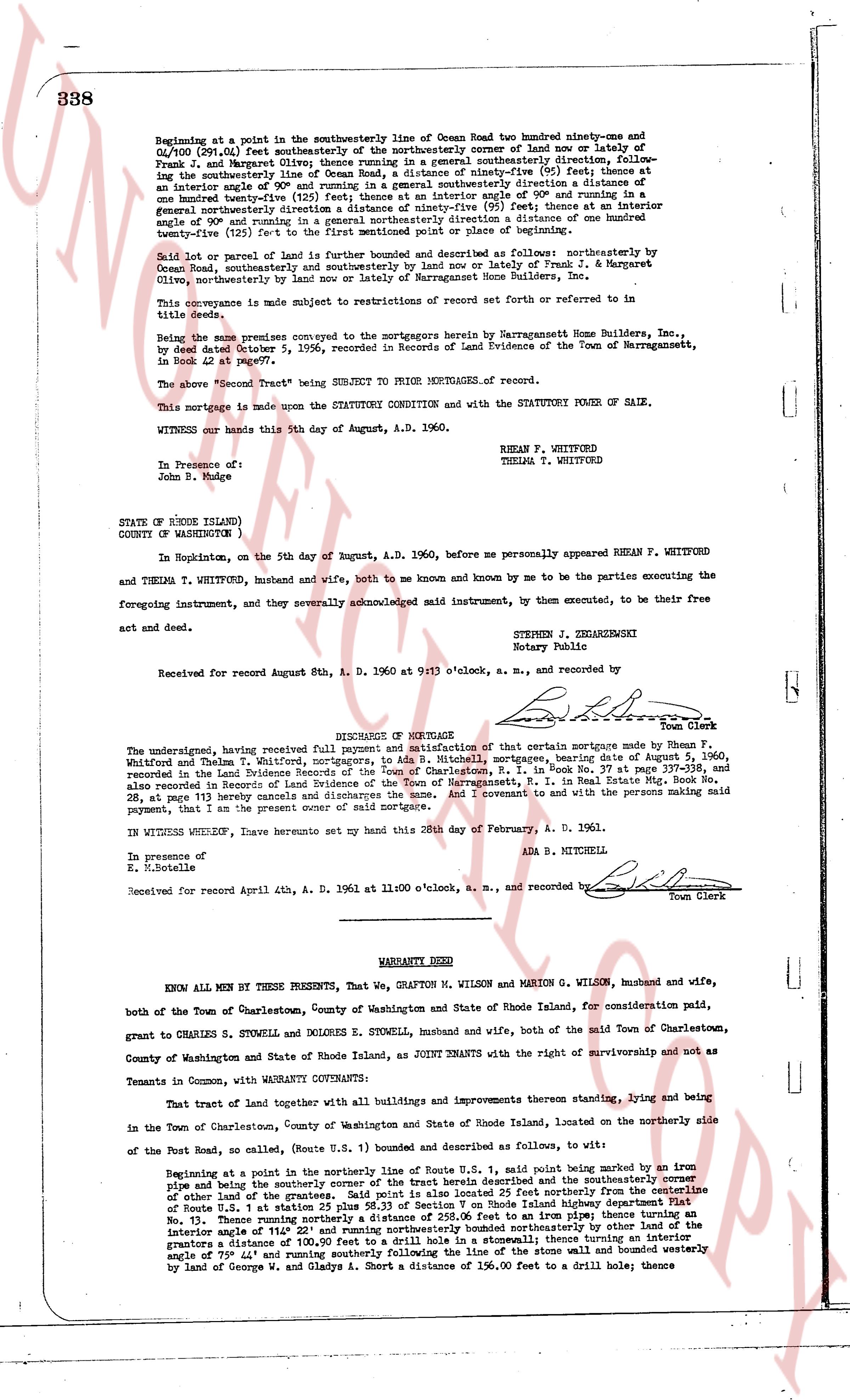
338
Beginning at a point in the southwesterly line of Ocean Road two hundred ninety-one and 06/100 (291.06) feet southeasterly of the northwesterly corner of land now or lately of Frank J. and Margaret Olive; thence running in a general southeasterly direction following the southwesterly line of the same land a distance of ninety-five (95) feet; thence at an interior angle of 90° and running in a general southwesterly direction a distance of one hundred forty-eight (148) feet; thence at an interior angle of 90° and running in a general northeasterly direction a distance of ninety-five (95) feet; thence at an interior angle of 90° and running in a general northeasterly direction a distance of one hundred ninety-two (192) feet to the first mentioned point or place of beginning.
Said lot or parcel of land is further bounded and described as follows: northeasterly by land conveyed from Frank J. and Margaret Olive; southeasterly by land now or lately of Narragansett Home Builders, Inc.,
This conveyance is made subject to restrictions of record set forth or referred to in title deeds.
Being the same premises conveyed to the mortgagor by Narragansett Home Builders, Inc., by deed dated October 5, 1956, recorded in Records of Land Evidence of the Town of Narragansett, in Book 42 at page 97ff.
The above "Tract" being SUBJECT TO PRIOR MORTGAGES of record.
This mortgage is made upon the STATUTORY CONDITION and with the STATUTORY POWER OF SALE.
WITNESS our hands this 5th day of August, A.D. 1960.
RHEAN F. WHITFORD
THELMA T. WHITFORD
In Presence of:
John B. Mulge
STATE OF RHODE ISLAND)
COUNTY OF WASHINGTON )
In Hopkinton, on the 5th day of August, A.D. 1960, before me personally appeared RHEAN F. WHITFORD and THELMA T. WHITFORD, husband and wife, both to me known and by me known to be the parties executing the foregoing instrument, and they severally acknowledged said instrument, by them executed, to be their free act and deed.
STEPHEN J. ZIEMKIEWICZ
Notary Public
Received for record August 8th, A. D. 1960 at 9 1/2 o'clock, a. m., and recorded by [signature] Town Clerk
----
DISCHARGE OF MORTGAGE
The undersigned, having received full and complete satisfaction of that certain mortgage made by Rhean F. Whitford, Thelma T. Whitford, mortgagors, to Ada B. Mitchell, mortgagee, dating August 2, 1960, recorded in the Land Evidence Records of the Town of Charlestown, R. I., in Book No. 37 at page 337-338, and also recorded in Records of Land Evidence of the Town of Narragansett, R. I. in Real Estate Mtg. Book No. 28, at page 113 hereby discharges the same and the property therein and I covenant it to be with the persons making said payment, that I am the present owner of said mortgage.
IN WITNESS WHEREOF, I have hereunto set my hand this 28th day of February, A. D. 1961.
ADA B. MITCHELL
In presence of
E. Nottele
Received for record April 4th, A. D. 1961 at 11:00 o'clock, a. m., and recorded by [signature] Town Clerk
----
WARRANTY DEED
KNOW ALL MEN BY THESE PRESENTS, That We, GRAFTON M. WILSON and MARION G. WILSON, husband and wife, both of the Town of Charlestown, County of Washington and State of Rhode Island, for consideration paid, grant to CHARLES S. STOWELL and DOLORES E. STOWELL, husband and wife, both of the said Town of Charlestown, County of Washington and State of Rhode Island, as JOINT TENANTS with the right of survivorship and not as Tenants in Common, with WARRANTY COVENANTS:
That tract of land together with all buildings and improvements thereon standing, lying and being in the Town of Charlestown, County of Washington and State of Rhode Island, located on the northerly side of Post Road, as called (Route U.S. 1) bounded and described as follows, to wit:
Beginning at a point in the northerly line of Route U.S. 1, said point being marked by an iron pipe and of the ground the southerly corner of the tract herein described 25 feet northerly from the centerline of other land of the grantor, and running in a general easterly direction 25 feet northerly from the centerline of Route U.S. 1 at station 25 plus 56.33 of Section 9 on Rhode Island highway department's map No. 15, thence running in a general northeasterly direction to an iron pipe thence turning an interior angle of 114° 22' and running northeasterly bounded northeasterly by other land of the grantor a distance of 111.15 feet; thence turning an interior angle of 135° 30' thence turning an interior angle of 75° 44' and running southerly following the line of the stone wall and bounded westerly by land of George W. and Gladys A. Short a distance of 156.00 feet to a drill hole; thence
The page as recorded