The instrument's own words
page 1 · read by Gemma vision
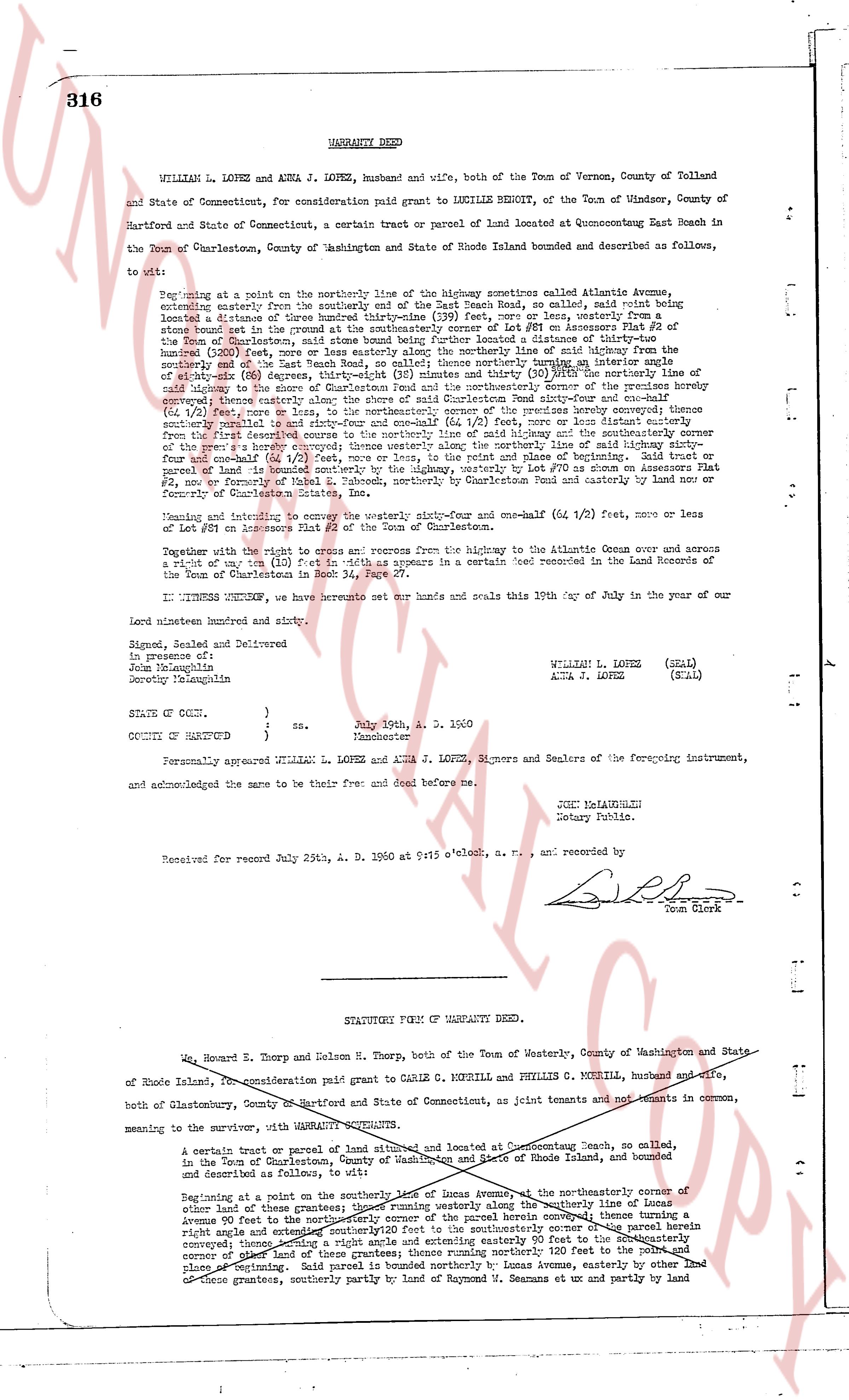
316 WARRANTY DEED
WILLIAM L. LOPEZ and ANNA J. LOPEZ, husband and wife, both of the Town of Vernon, County of Tolland and State of Connecticut, for consideration paid grant to LUCILLE BENOIT, of the Town of Windsor, County of Hartford and State of Connecticut, a certain tract or parcel of land located at Quonsetpoint East Beach in the Town of Charlestown, County of Washington and State of Rhode Island bounded and described as follows, to wit:
Beginning at a point on the northerly line of the highway sometimes called Atlantic Avenue, extending easterly from the southerly end of the East Beach Road, so called, said point being distant a distance of three hundred thirty-nine (339) feet, more or less, westerly from some boundary line of the premises herein conveyed being located a distance of thirty-nine (39) feet off the highway, said point being on the southerly line of Lot 87 on plat 2 of the Town of Charlestown, said point being further located a distance of thirty-nine (39) feet, more or less, northerly from the center line of the highway sometimes called the center line of the southerly end of the East Beach Road, so called; thence northerly turning a interior angle of approximately one hundred (100) degrees, a distance of one hundred (100) feet, more or less, to a point said point being a distance of thirty-nine (39) feet, more or less, northerly from the center line of said highway to the shore of Charlestown Pond and the northeasterly corner of the premises hereby conveyed; thence southeasterly along the shore of Charlestown Pond, a distance of one hundred (100) feet, more or less (or 1/2 foot), more or less, to the northeasterly corner of the premises hereby conveyed; thence southerly along the boundary line of the premises hereby conveyed, a distance of one hundred (100) feet, more or less, from the first described corner to the northerly line of said highway and the southerly corner of the premises hereby conveyed; thence westerly along the said highway, a distance of three hundred thirty-nine (339) feet, more or less, and four and one-half (4 1/2) feet, more or less, to the point and place of beginning. Said tract or parcel of land is located on the highway, westerly by Lot 87 on plat 2 of the Town of Charlestown, East Beach No. 2, now or formerly of Mabel E. [?] on Quonsetpoint East Road and easterly by land or party of February Charlestown Estate, Inc. in the Town of Charlestown.
Weighing and extending to encumber the warranty sixty-four and one-half (64 1/2) feet, more or less of Lot 87 on plat 2 of the Town of Charlestown in the Town of Charlestown.
Together with the right to access and egress from the highway to the Atlantic Ocean over and across a right of way ten (10) feet in width as appears in a certain deed recorded in the Land Records of the Town of Charlestown in Book 30, Page 147.
IN WITNESS WHEREOF, we have hereunto set our hands and seals this 10th day of July in the year of our Lord one thousand nine hundred and sixty.
Signed, Sealed and Delivered
in presence of:
Jonathan Houghton
Dorothy Houghton WILLIAM L. LOPEZ (SEAL)
ANNA J. LOPEZ (SEAL)
STATE OF CONN. )
) ss. July 19th, A. D. 1960
COUNTY OF HARTFORD ) Manchester
Personally appeared WILLIAM L. LOPEZ and ANNA J. LOPEZ, Signers and Sealers of the foregoing instrument, and acknowledged the same to be their free and deed and seal before me.
JUNE MAHANUBLE
Notary Public.
Received for record July 25th, A. D. 1960 at 9:15 o'clock, a. m., and recorded by
[Signature]
Town Clerk
----
STATUTORY FORM OF WARRANTY DEED.
Ed. Howard E. Thorp and Nelson H. Thorp, both of the Town of Westerly, County of Washington and State of Rhode Island, for consideration paid grant to CARLE G. MORRILL and PHYLLIS G. MORRILL, husband and wife, both of Charlestown, County of Hartford and State of Connecticut, as joint tenants and not tenants in common, meaning to the survivor, WITH WARRANTY GUARANTEES.
A certain tract or parcel of land situated and located at Quonsetpoint Beach, so called, in the Town of Charlestown, County of Washington and State of Rhode Island, bounded and described as follows, to wit:
Beginning at a point on the southerly line of Iona Avenue, at the northeasterly corner of other land of these grantors; thence running westerly along the southerly line of Iona Avenue turning a right angle and extending southerly 20 feet to the southeasterly corner of the parcel hereby conveyed; thence running southwesterly along the boundary 80 feet to a point being 120 feet from the corner of other land of these grantors; thence running northerly 120 feet to the point and place of beginning. Said land bordered northerly by Iona Avenue, easterly by other land of these grantors, southerly partly by land of Raymond S. Demann and ut partly by land
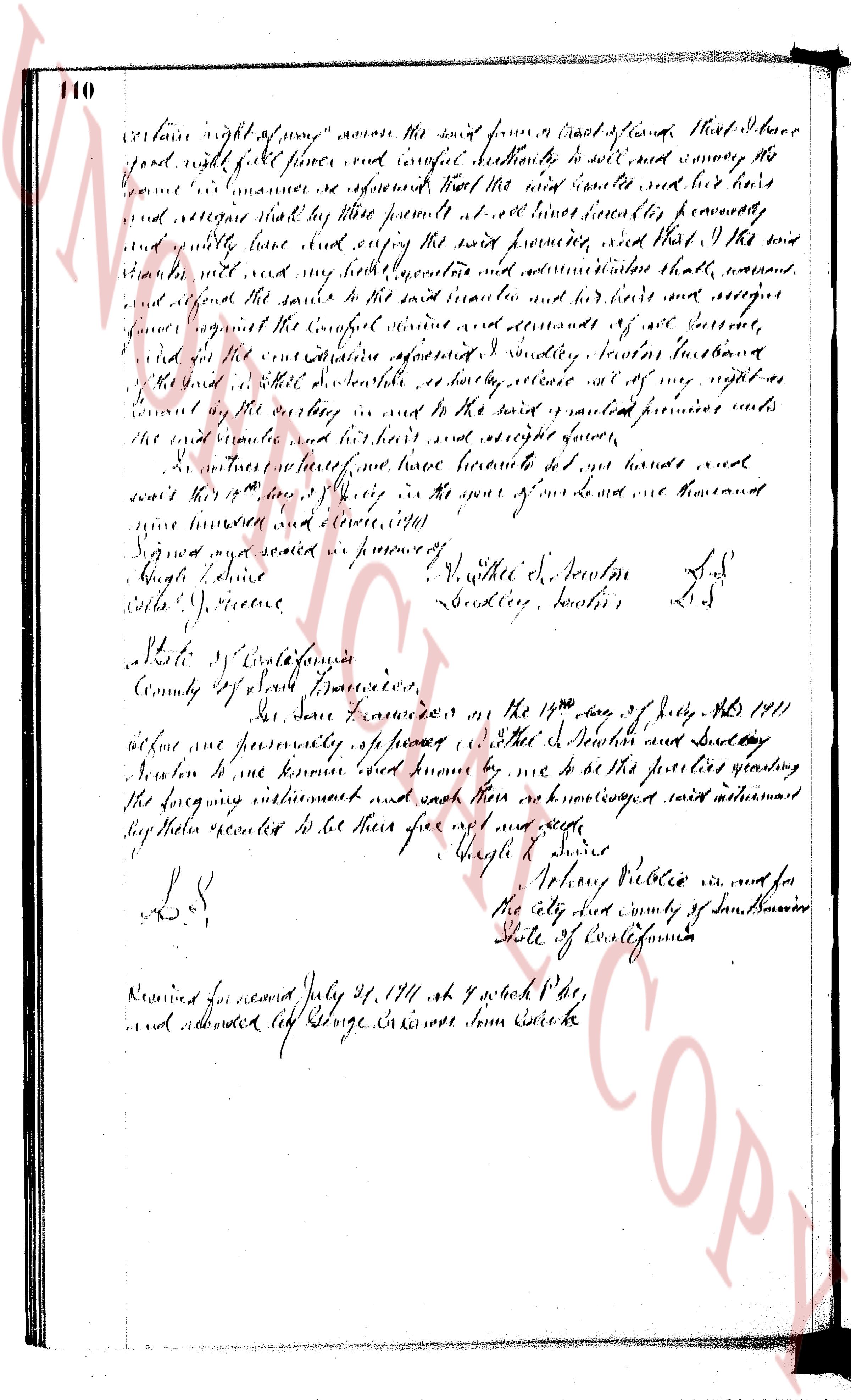
The page as recorded