The instrument's own words
page 1 · read by Gemma vision
307
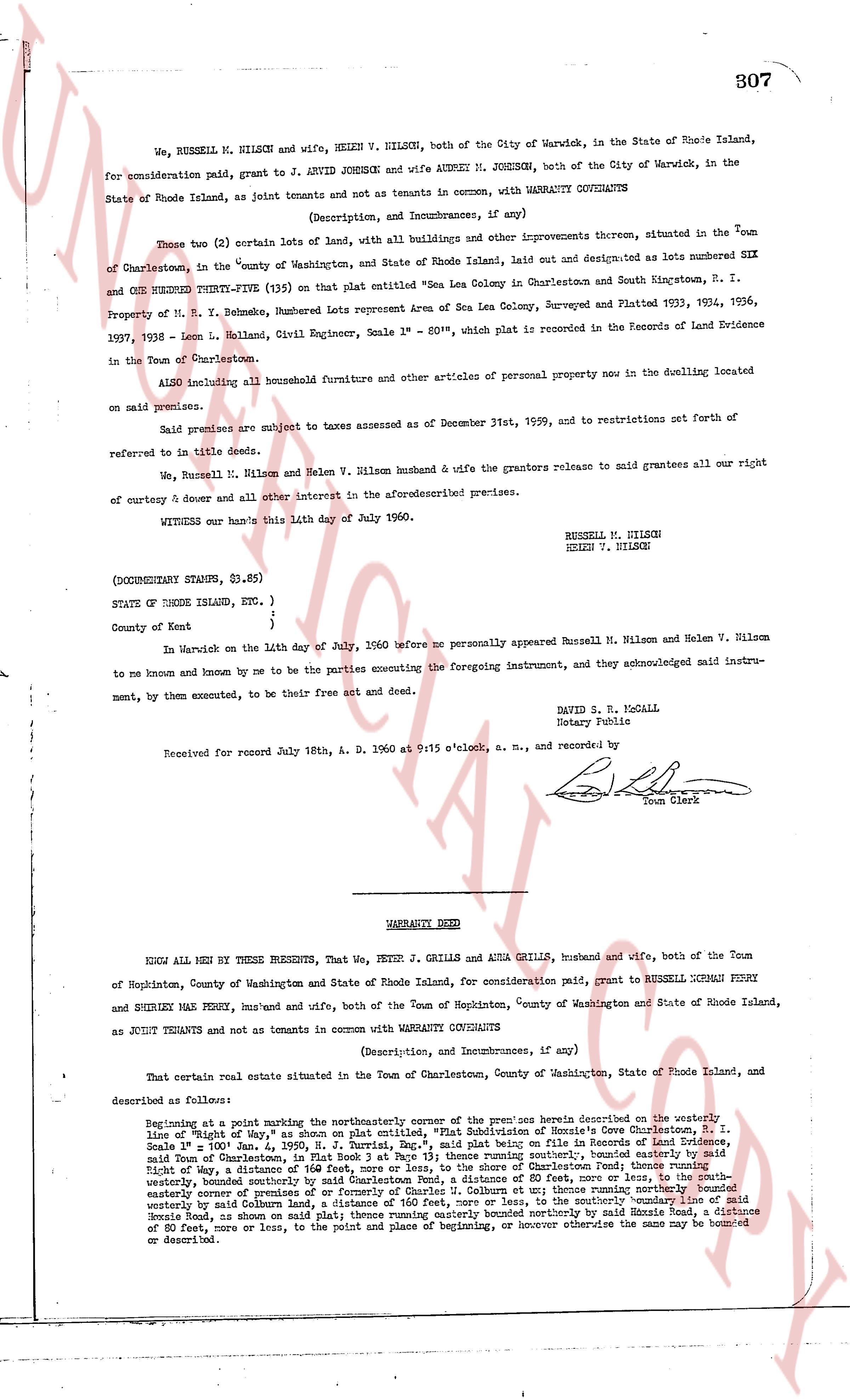
We, RUSSELL M. NILSON and, HELEN V. NILSON, both of the City of Warwick, in the State of Rhode Island, for consideration paid, grant to J. ARVID JOHNSON and wife AUDREY M. JOHNSON, both of the City of Warwick, in the State of Rhode Island, as joint tenants and not as tenants in common, with WARRANTY COVENANTS
(Description, and Incumbrances, if any)
These two (2) certain lots of land, with all buildings and other improvements thereon, situated in the Town of Charlestown, in the "County of Washington, and State of Rhode Island Island, laid out and designated as lots numbered SIX and ONE HUNDRED TWENTY-FIVE (125) on that plat entitled "Sea Lea Colony in Charlestown and South Kingstown, R. I. Property of M. R. Y. Behnke, Numbered Lots representation Area of Sea Lea Colony, Surveyed and Platted 1933, 1934, 1936, 1937, 1938 - Leon L. Holland, Civil Engineer, Scale 1" = 80'", which plat is recorded in the Records of Land Evidence in the Town of Charlestown.
ALSO including all household furniture and other articles of personal property now in the dwelling located on said premises.
Said premises are subject to taxes assessed as of December 31st, 1959, and to restrictions set forth of referred to in title deeds.
We, Russell M. Nilson and Helen V. Nilson husband & wife the grantors release to said grantees all our right of curtesy & dower and all other interest in the aforementioned premises.
WITNESS our hands this 14th day of July 1960.
RUSSELL M. NILSON
HELEN V. NILSON
(DOUBLED STAMPED, $1.85)
STATE OF RHODE ISLAND, ETC. )
)
County of Kent )
In Warwick on the 14th day of July, 1960 before me personally appeared Russell M. Nilson and Helen V. Nilson to me and known by me and known by me to be the parties executing the foregoing instrument, and they acknowledged said instrument, by them, executed, to be their free act and deed.
DAVID S. McCOLL
Notary Public
Received for record July 18th, A. D. 1960 at 9:15 o'clock, a. m., and recorded by
[Signature]
Town Clerk
----
WARRANTY DEED
KNOW ALL MEN BY THESE PRESENTS, That We, PETER J. GRILLS and ADLA GRILLS, husband and wife, both of the Town of Hopkinton, County of Washington and State of Rhode Island, for consideration paid, grant to RUSSELL DONALD PERRY and SHIRLEY MAY PERRY, hus' and wife, both of the Town of Hopkinton, County of Washington and State of Rhode Island, as JOINT TENANTS and not as tenants in common with WARRANTY COVENANTS
(Description, and Incumbrances, if any)
That certain real estate situated in the Town of Charlestown, County of Washington, State of Rhode Island, and described as follows:
Beginning at a point marking the northwesterly corner of the premises herein described on the westerly line of the "Right of Way," as shown on plat certified, "Plat Subdivision of Horrie's Cove Charlestown, R. I. Scale 1" = 100' Jan. 4, 1955, R. J. Turrill, Eng.", said plat being on file in Records of Land Evidence, said "Right of Way" being 80 feet wide, thence running southerly, bounded southerly by the southerly line of the Right of Way, a distance of 160 feet, more or less, to the shore of Charlestown Pond; thence running westerly, bounded southerly by the shore of Charlestown Pond, a distance of 80 feet, more or less; thence running easterly, bounded easterly by a prejudice of or formerly of Charles J. Colburn et ux; thence running northerly bounded northerly bounded easterly by said Colburn land, a distance of 160 feet, more or less, to the northerly line of the "Right of Way", bounded northerly, as shown on said plat, a distance of 80 feet, more or less, thence running northerly by said Mossie Road, a distance of 80 feet, more or less, to the point and place of beginning, or however otherwise the same may be bounded or described.
The page as recorded