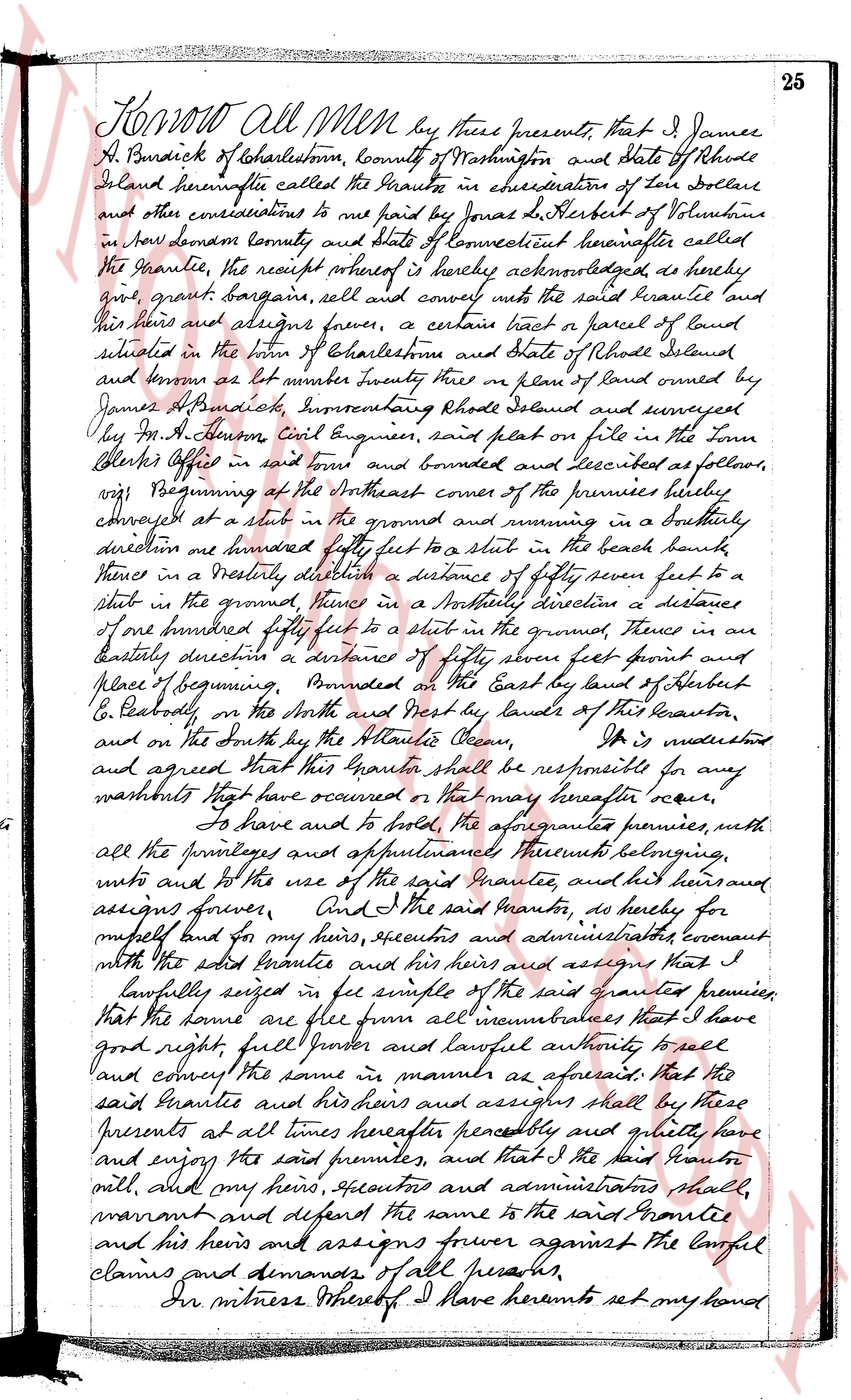
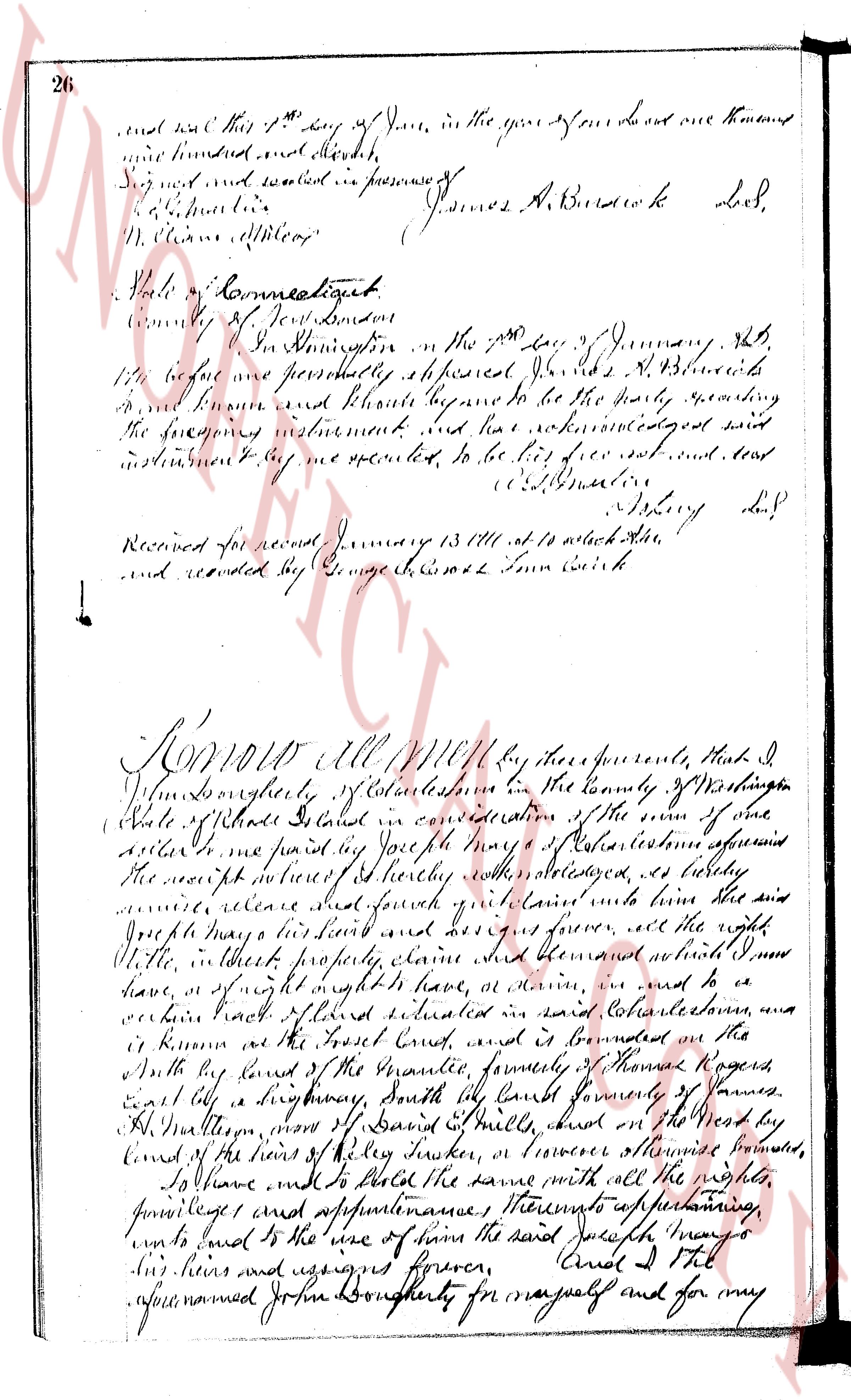
The instrument's own words
Attribution under review. The portal's file number is shared by more than one instrument, and the words below could not be placed with certainty on this one by their own evidence (page stamp, parties, dates); they may belong to a neighbouring instrument. Read them as the record of the page, not yet as this deed's own.
page 1
296
STATE OF RHODE ISLAND }
County of Washington }
In Charlestown on the 2nd day of July, 1960, before me personally appeared Eleanor H. Pigaty, Ruple
John Pigaty, June H. Olson and Adrian Olson, to me known and known by me to be the parties executing the
foregoing instrument, and they severally acknowledged said instrument, by them executed, to be their free
act and deed.
Town Clerk LUDLOW L. BROWN
Notary Public
Received for record February 5th, A. D. 1960 at 2:31 o'clock, p. m., and recorded by
Town Clerk
DISCHARGE OF MORTGAGE
WILFRED FINEN and DOROTHY WIENEN, husband and wife, holders of a certain mortgage on Eleanor H. Pigaty and
June H. Olson dated 2nd day 2 1958, recorded in the Book of Land Evidences in the Town of Charlestown,
Rhode Island, Book No. 37 at Pages 295 and 296, having received full payment and satisfaction, hereby cancel
and discharge the same; and covenant to and with the payers that said Wilfred Finen and Dorothy Wienen are the
present grantees of said mortgage.
WITNESS our hands this 29th day of January, 1968.
Wilfred Finen
Dorothy Finen
STATE OF FLORIDA
County of Sarasota }
In St. Petersburg, on the 29th day of January, 1968 before me personally appeared Wilfred Finen and
Dorothy Finen, both to me known and known by me to be the parties executing the foregoing instrument, and they
severally acknowledged said instrument, by them executed, to be their free act and deed.
My Commission expires July 31, 1968 Walter H. Koch, Jr. (Notarial Seal)
Bonded by American Fire & Casualty Co. Notary Public
Notary Public, State of Florida at Large
STATUTORY FORM OF WARRANTY DEED.
CHARLESTOWN ESTATES, INC., a corporation duly incorporated under the Laws of the State of Rhode Island,
and having a place of business in the Town of Westerly, County of Washington and State of Rhode Island, for
consideration paid, grant to RICHARD C. BOGGS and GRACE B. BOGGS, husband and wife, both of the Town of Charles-
ton, County of Washington and State of Rhode Island, as joint tenants and not tenants in common, meaning to
the survivor, with WARRANTY COVENANTS.
A certain tract or parcel of land located on Gammell's Cove in the Town of Charlestown, County of
Washington and State of Rhode Island, and shown as Lot #39-D on and a certain site for a
pier on plat entitled "Santos Estate, Property of Charleston Estates, Inc., Docommoquing, R. I.,
scale 1 inch Equals 80 feet, surveyed, November 4, 1957, by Louis A. Lewis, R. S.," said plat being recorded
in the Land Evidence Records of the Town of Charlestown, and described as follows:
beginning at the southeasterly corner of the parcel herein conveyed at a point on the westerly line of
Bonie Avenue, so called, said point also being the northeasterly corner of land of
Francis R. Levasseur, et al; thence northerly along the westerly line of Bonie Avenue 200.00
feet to a stone wall and then continuing northerly according to the survey of Louis A. Lewis, R. S.,
continuing northerly, therefore westerly and westerly around some curve having a radius of 20 feet, 34.58
feet to a stone wall and then continuing northerly, so called; thence easterly 120.00 feet to a point
along the southerly line of Peabody Road 123 feet to the intersection with a stone wall at the northeasterly
corner of the parcel herein conveyed; thence southerly 120.00 feet to a point on the westerly line of Bonie Avenue,
to the southeasterly corner of the parcel herein conveyed, said point also being the northeasterly
corner of land of different owners, and then continuing southerly along the westerly line of Bonie Avenue
beginning, said parcel is bounded easterly by Bonie Avenue, so called, northerly by Peabody Road,
westerly partly by other land of this grantor and partly by land of Jude J. Butt, et al, and
southerly by said Levasseur.
In consideration of the purchase price it is understood and agreed that the following restrictions and
reservations shall apply to and run with the land for a period of thirty years from November 1, 1958:
to wit:
The above conveyed premises shall be used for residential purposes only and there shall be not more
than one residence on each lot herein conveyed, said residence be to be located not less than 20 feet from
the southerly line of Peabody Road, not less than 20 feet from Bonie Avenue, so called on the north line
of 15 feet, no porch, steps, or other structure shall be erected within 15 feet of the property line and
than the building line of 25 feet and not nearer Peabody Road on the north than the building line of
25 feet, no porch, steps, or other structure shall be erected within 15 feet of the property line and no
line of site lots nearer than 5 feet. No detached garage or other building or buildings shall be
erected within 15 feet of the property line, and all buildings shall be connected to and shall drain
drain into a septic tank or cesspool.
In consideration of the purchase price, the grantees, their heirs, executors, administrators, and
assigns, licensees, tenants, guests, are granted a right of way to access and recurse at all times
and for all purposes, in common with others, over the rights of way or roads to the public highway,
and to access and recurse at all times and for all purposes in common with others, over and across
and Parcel "R" surrounding the lagoon as shown on said plat, for the purpose of using said Lagoon
for the keeping of a small number of boats, limited to Charleston Boat Club. Said grantees, their
grantees, their heirs, executors, administrators, assigns, licensees, guests, and servants are granted a
right of way to cross lots #355 and #356 to the beach or ocean, and are granted the use of a certain
lots for the purpose of parking vehicles, in common with others, said lots are shown on a certain
Received for record February 2nd, A. D. 1968 at
page 296, s. m., and recorded by
Town Clerk
page 2
297
plan or plat entitled, "Plat of East Beach, Conventuong, R. I., property of S. H. Davis, Inc.,
Leon L. Holland, C. E., scale 1 inch equals 100 feet, revised July, 1931." Which plat is duly
recorded in the Land Evidence Records of said Town of Charlestown.
In consideration of the above rights and privileges to cross and recross from the within granted
premises to the highway, Beachroad from the Atlantic Ocean, the grantees, their heirs, execu-
tors, administrators, assigns, grantees and assigns of the grantees, its successors and as-
signs, harmless and blameless from any damage or liability of any kind or nature due to the use of
said driveway, avenue, street or thoroughfare as hereinbefore specified. The use of Parcel "M"
and Lots #554 and #555 shall not be commercialized.
IN WITNESS WHEREOF, the said corporation has caused these presents to be duly signed by its President and
Treasurer, heretofore duly authorized, and the corporate seal to be hereunto affixed at Westerly, Rhode Island,
this 23rd day of June, 1960.
CHARLESTOWN ESTATES, INC. (Corporate Seal)
ROMALD E. THORP
President
NELSON N. THORP
Treasurer
(DOCUMENTARY STAMPS, $2.20)
STATE OF RHODE ISLAND
COUNTY OF WASHINGTON
In Westerly on this 23rd day of June, 1960, before me personally appeared Howard E. Thorp, to me known and
known by me to be the President of said corporation, and Nelson N. Thorp, to me known and by me to be the
Treasurer of said corporation, and they acknowledged said instrument by them executed to be the free act and deed of
said corporation, and as well individually.
FLORENCE Z. WELLS (Notarial Seal)
Notary Public
Received for record July 8th, A. D. 1960 at 10:30 o'clock, a. m., and recorded by
[Signature]
Town Clerk
AGREEMENT MADE THIS 19th day of September, 1999, between CHARLESTOWN ESTATES, INC., a Rhode Island Corporation
having its principal place of business in Westerly, Rhode Island, hereinafter referred to as Charlestown Estates and
WILLIAM M. McSHEENEY, of the City of Providence, County of Providence and State of Rhode Island, hereinafter referred
to as the grantee.
WHEREAS, CHARLESTOWN ESTATES is the owner of a tract of land ten (10) feet in width, bounded easterly
by land now or formerly of Alma Crapo Gayle and westerly by land now or formerly of Sophie E. Donohue as
described in that certain Deed of Sophie E. Donohue to Charles E. Donohue Jr., dated July 27, 1939
and recorded in the Land Evidence Records of the Town of Charlestown, Rhode Island in Book #28 Page #72,
and etc.
WHEREAS, the grantee is the owner of certain real estate located in said town of Charlestown designated
as Lots #70 and #71 on plat entitled, "Quonsetukon Highlands, property of Charlestown Estates, Inc.,
Charlestown, R. I., scale 1 inch equals 100 feet, revised July, 1931," Survey by Leon L. Holland, which said plat is filed
with the Land Evidence Records of said town of Charlestown.
WHEREAS, CHARLESTOWN ESTATES having developed the land shown on the above described plat and subsequently
conveyed to the grantee, the above described land with certain appurtenances including rights there to
cross and recross over main land ten (10) foot strip of land common in widths and others, and
WHEREAS, it is the desire of the parties hereto that the grantee releases all rights in relation to said
ten (10) foot strip of land and other appurtenances except a right to cross and recross other properties of
Charlestown Estates leading to the ocean.
NOW THEREFORE, in consideration of the discharge and release of said ri-ght and the conveyance of the new
right of way, it is agreed as follows:
1. The grantee hereby grants, conveys and releases to Charlestown Estates with QUIT CLAIM COVENANTS,
all right, title and interest in and to said ten (10) foot strip and the rights thereto.
2. Charlestown Estates grants to the said grantee, his heirs, executors, administrators, assigns,
licensees, grants and grantees with QUIT CLAIM COVENANTS a right to cross and recross from and to
the beach or ocean, as common to all owners of land bordering the Atlantic Ocean to the beach as shown
on that certain plan or plat entitled, "Plat of East Beach at Quonsetuong, R. I., property of
S. H. Davis, Inc., Leon L. Holland, C. E., scale 1 inch equals 100 feet, revised July, 1931,"
which plat is duly filed in the Land Evidence Records of the Town of Charlestown.
The page as recorded