The instrument's own words
page 1 · read by Gemma vision
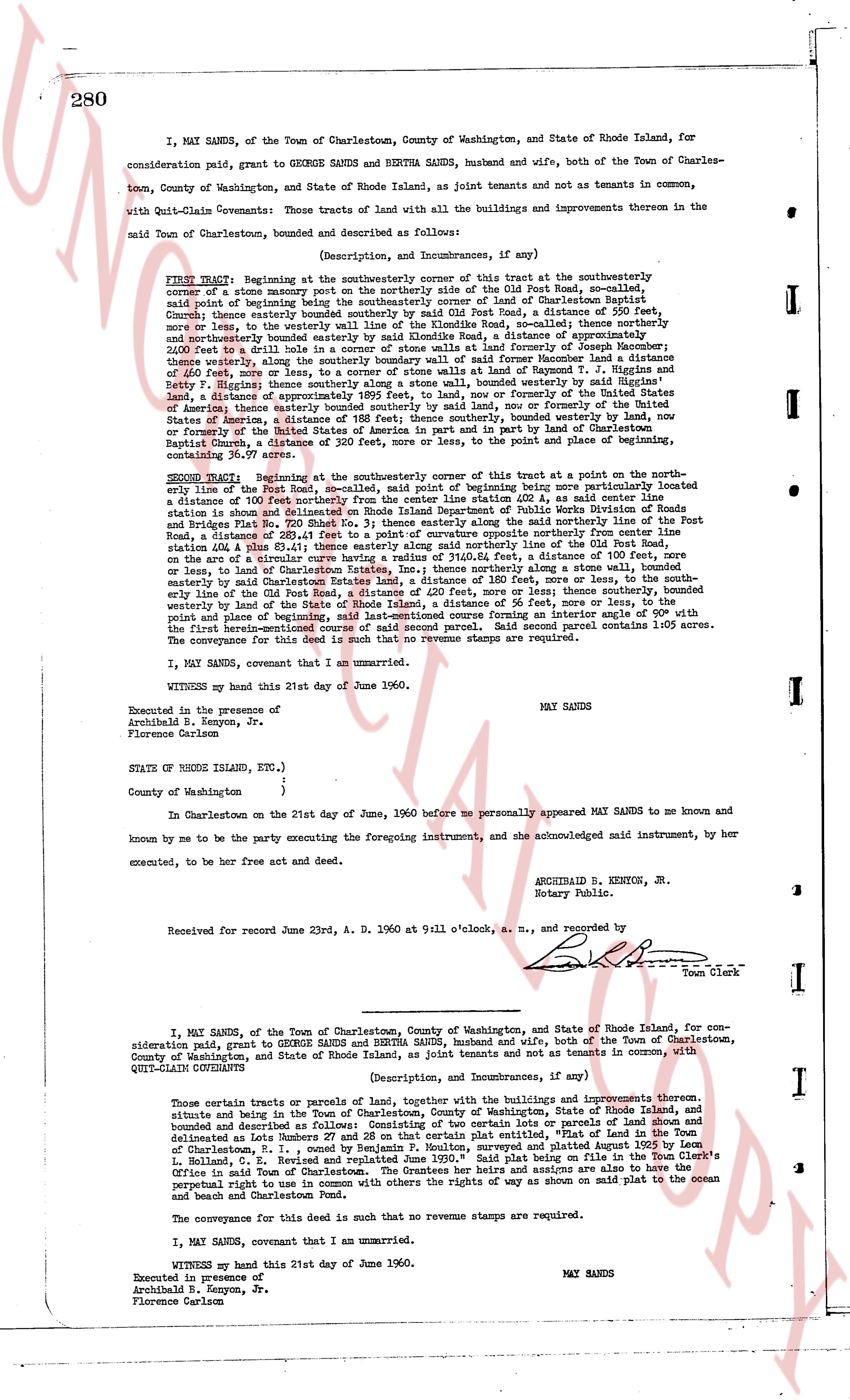
280
I, MAY SANDS, of the Town of Charlestown, County of Washington, and State of Rhode Island, for
consideration paid, grant to GEORGE SANDS and BERTHA SANDS, husband and wife, both of the Town of Charles-
town, County of Washington, and State of Rhode Island, as joint tenants and not as tenants in common,
with Quit-Claim Covenants: those Tracts of land with all the buildings and improvements thereon in the
said Town of Charlestown, bounded and described as follows:
(Description, and Incumbrances, if any)
FIRST TRACT: Beginning at the southwesterly corner of this tract at the southwesterly
corner of a stone masonry wall part of the boundary line of the Old Post Road, so-called,
said point of beginning being the southwesterly corner of land of Charlestown Baptist
Church; thence easterly along said stone wall and the Old Post Road, a distance of 250 feet,
more or less, to the westerly wall line of the Kinloch Road, so-called; thence northerly
therefrom 200 feet along said wall line of Kinloch Road, a distance of approximately 200
and 20/100 feet, to a nail found in a stone wall at the land of formerly of Joseph Macomber;
thence northerly bounded easterly by said nail and stone wall and land formerly of T. Haggen and T. Haggen
of 40 feet, then easterly along the southerly boundary wall of said former home and land of T. Haggen and
Betty F. Haggen; thence westerly along a stone wall, bounded westerly by said signed I's
Sands, a distance of approximately 200 feet, or more or less, formerly of the United States of
America; thence easterly bounded by southerly land wall, now or formerly of the United
States of America, a distance of approximately 200 feet, bounded westerly by said wall, now
or formerly of the United States of America in part and in part by land of Charlestown
Baptist Church, to the point of beginning, the lines and points of bearing being approximately
containing 36.97 acres.
SECOND TRACT: Beginning at the southeasterly corner of this tract at a point on the north-
easterly line of the Old Post Road, so-called, said point of beginning being more particularly located
a distance of 100 feet northerly from the center line position 424, as noted center line
station of the Old Post Road, a distance of 100 feet, more or less, to the boundary line of Rhode Island
and Plates Road Pl. No. 280 Sheet No. 3; thence easterly along said northerly line of the Post
Road, a distance of 100 feet, more or less, to a stone wall, bounded westerly approximately
station 424.8 line 83.41; thence easterly along said northerly line of the Old Post Road,
on a straight line to a stone wall, bounded westerly by said wall, a distance of 100 feet, more or
less, or land of Charlestown States, Inc.; thence northerly along a stone wall, bounded
easterly by said Charlestown States, Inc., a distance of 200 feet, more or less, to a line bound-
easterly line of the Old Post Road, a distance of 200 feet, more or less; thence southerly, bounded
westerly by land of the State of Rhode Island, a distance of 56 feet, more or less; thence southerly,
bounded westerly by land of the State of Rhode Island, a distance of 200 feet, more or less; thence southerly,
bounded westerly by land of the State of Rhode Island, a distance of 200 feet, turning an easterly side of 90° with
the first herein-mentioned course of said second parcel. Said second parcel contains 1.05 acres.
The conveyance of this deed is such that no revenue stamps are required.
I, MAY SANDS, covenant that I am an unmarried.
WITNESS my hand this 21st day of June of 1960.
MAY SANDS
Executed in the presence of
Archibald B. Kenyon, Jr.
Florence Carlson
STATE of RHODE ISLAND, ETC.,)
County of Washington ;)
In Charlestown on the 21st day of June, 1960 before me personally appeared MAY SANDS to me known
and known by me to be the party executing the foregoing instrument, and she acknowledged said instrument, by her
executed, to be her free act and deed.
ARCHIBALD B. KENYON, JR.
Notary Public.
Received for record June 23rd, A.D. 1960 at 9:11 o'clock, a.m., and recorded by
Town Clerk
----
I, MAY SANDS, of the Town of Charlestown, County of Washington, and State of Rhode Island, for con-
sideration paid, grant to GEORGE SANDS and BERTHA SANDS, husband and wife, both of the Town of Charlestown,
County of Washington, and State of Rhode Island, as joint tenants and not as tenants in common, with
QUIT-CLAIM COVENANTS:
(Description, and Incumbrances, if any)
Those certain tracts or parcels of land or parcels of land, together with the buildings as improvements thereon,
situate and being in the Town of Charlestown, County of Washington, State of Rhode Island, bounded and
described as follows: Consisting of certain lots or parcels of land shown and
delineated as Lots Number 5 and 6 on a plat of land, situate in the Town of Charlestown, State of Rhode
Island, surveyed and platted August 1959 by Leo
R. Moulton, and replatted June 1960. "Said plat being on file in the Charlestown Town Clerk's
Office and Town of Charlestown, I. the grantee and grantees are also to have the
perpetual right to use in common with the others my rights of way as shown on said plat to the ocean
and Town of Charlestown.
The conveyance for this deed is such that no revenue stamps are required.
I, MAY SANDS, covenant that I am an unmarried.
WITNESS my hand this 21st day of June of 1960.
MAY SANDS
Executed in presence of
Archibald B. Kenyon, Jr.
Florence Carlson
page 2 · read by Gemma vision
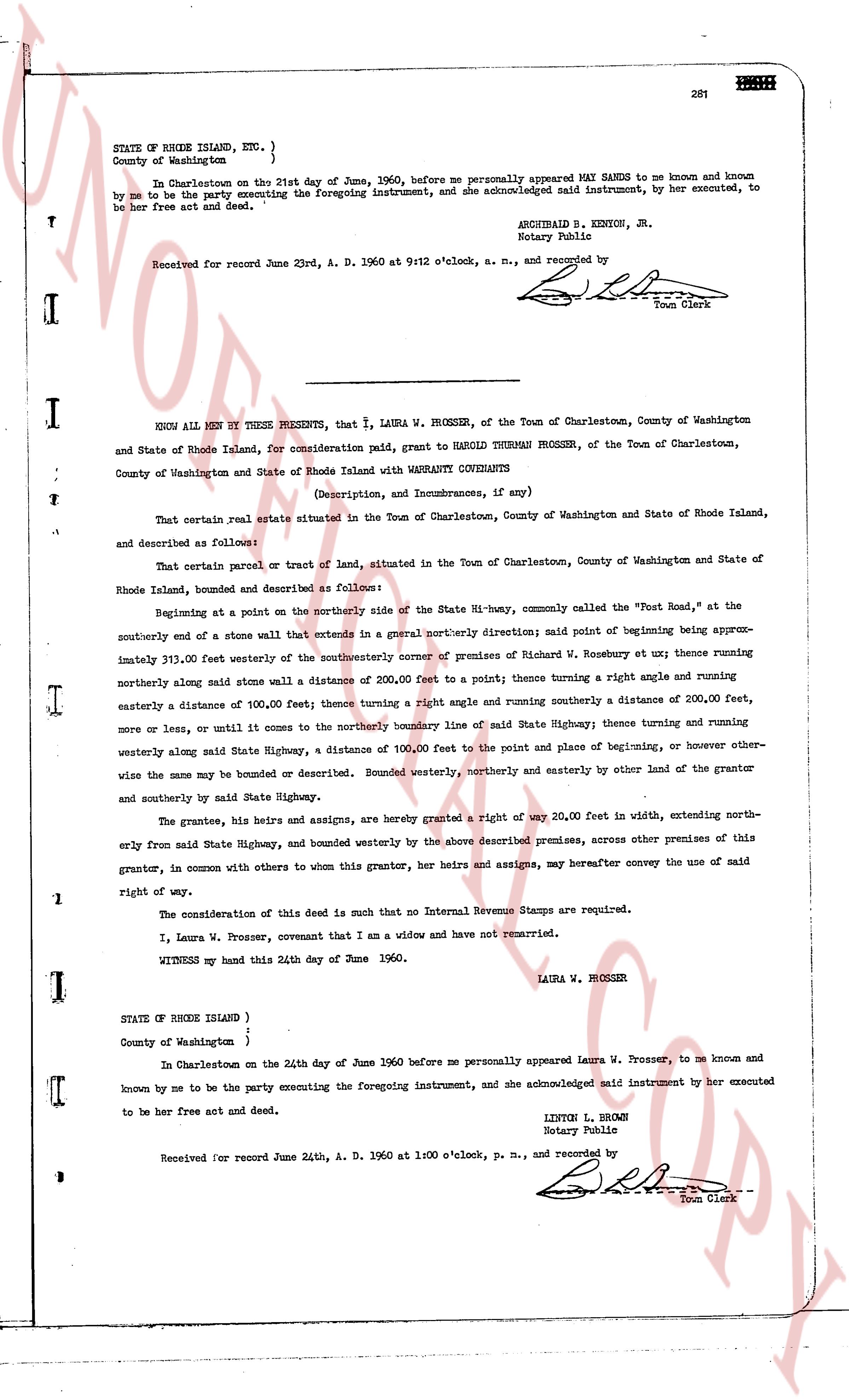
281
STATE OF RHODE ISLAND, ETC. }
County of Washington }
In Charlestown on the 21st day of June, 1960, before me personally appeared MAY SANDS to me known and known by me to be the party executing the foregoing instrument, and she acknowledged said instrument, by her executed, to be her free act and deed.
ARCHIBALD S. KENTON, JR.
Notary Public
Received for record June 23rd, A. D. 1960 at 9:12 o'clock, a. m., and recorded by [Signature] Town Clerk
----
KNOW ALL MEN BY THESE PRESENTS, that I, LAURA W. PROSSER, of the Town of Charlestown, County of Washington and State of Rhode Island, for consideration paid, grant to HAROLD DURMAN PROSSER, of the Town of Charlestown, County of Washington and State of Rhode Island with WARRANTY COVENANTS
(Description, and Incumbrances, if any)
That certain real estate situated in the Town of Charlestown, County of Washington and State of Rhode Island, and described as follows:
That certain parcel or tract of land, situated in the Town of Charlestown, County of Washington and State of Rhode Island, bounded and described as follows:
Beginning at a point on the northerly side of the State Hi-way, commonly called the "Post Road," at the southerly end of a stone wall that extends in a general northerly direction; said point of beginning being approximately 311.00 feet westerly of the northwesterly corner of premises of Richard W. Rosebury et ux; thence running northerly along said stone wall a distance of 200.00 feet to a point; thence turning a right angle and running easterly a distance of 100.00 feet; thence turning a right angle and running southerly a distance of 200.00 feet, more or less, until it comes to the northerly boundary line of said State Highway; thence turning and running westerly along said State Highway, a distance of 100.00 feet to the point and place of beginning, or however otherwise the same may be bounded or described. Bounded westerly, northerly and easterly by other land of the grantor and southerly by said State Highway.
The grantor, his heirs and assigns, are hereby granted a right of way 20.00 feet in width, extending northerly from said State Highway, and bounded westerly by the above described premises, across other premises of this grantor, in common with others to whom this grantor, her heirs and assigns, may hereafter convey the use of said right of way.
The consideration of this deed is such that no Internal Revenue Stamps are required.
I, Laura W. Prosser, covenant that I am a widow and have not remarried.
WITNESS my hand this 24th day of June 1960.
LAURA W. PROSSER
STATE OF RHODE ISLAND }
County of Washington }
In Charlestown on the 24th day of June 1960 before me personally appeared Laura W. Prosser, to me known and known to be me the party executing the foregoing instrument, and she acknowledged said instrument by her executed to be her free act and deed.
LEPTON L. BROWN
Notary Public
Received for record June 24th, A. D. 1960 at 1:00 o'clock, p. m., and recorded by [Signature] Town Clerk
The page as recorded