The instrument's own words
page 1 · read by Gemma vision
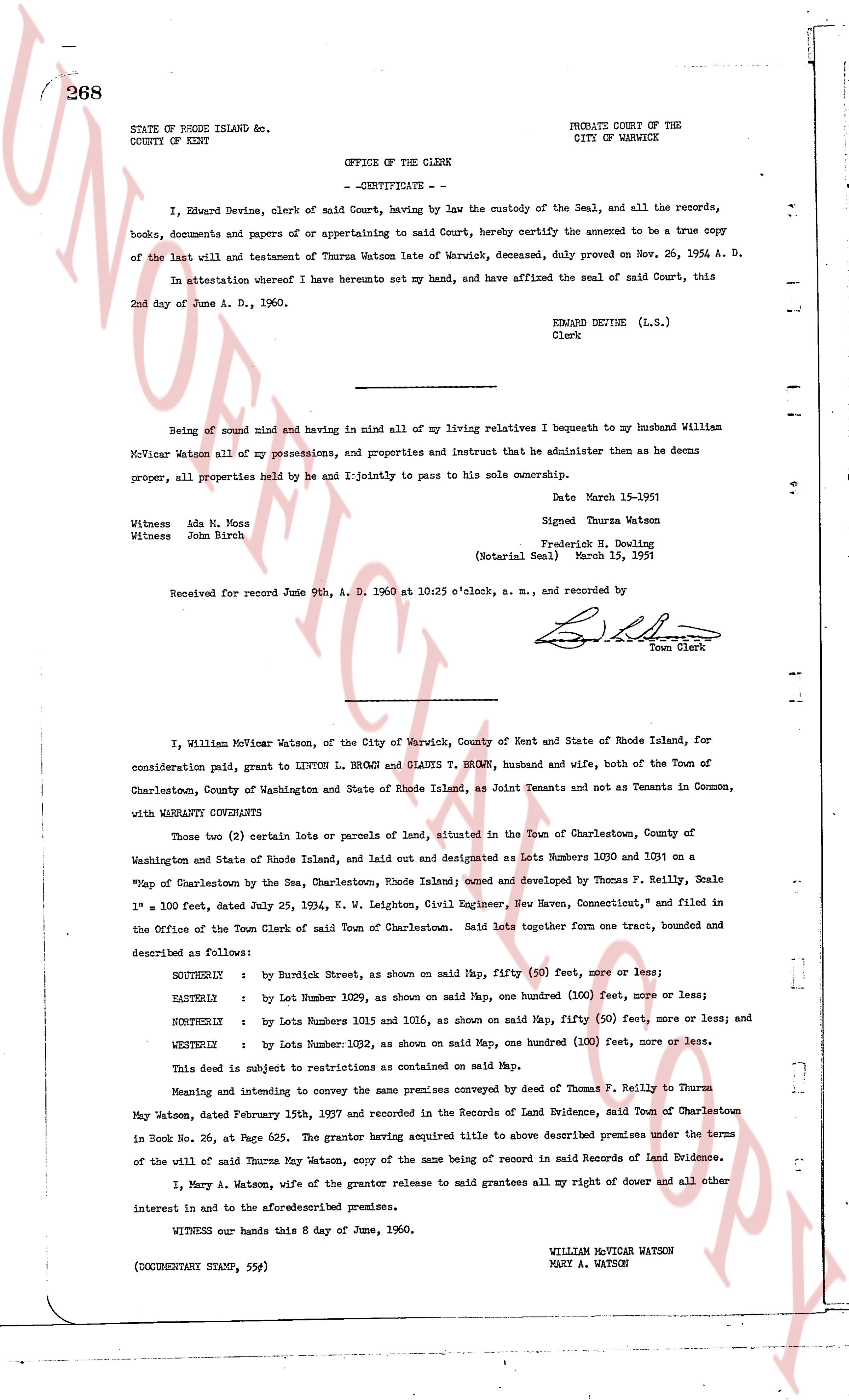
268
STATE OF RHODE ISLAND etc.
COUNTY OF KENT
PROBATE COURT OF THE
CITY OF WARWICK
OFFICE OF THE CLERK
- CERTIFICATE -
I, Edward Devine, clerk of said Court, having by law the custody of the Seal, and all the records, books, documents and papers of or appertaining to said Court, hereby certify the annexed to be a true copy of the last will and testament of Thurma Watson late of Warwick, deceased, duly proved on Nov. 26, 1954 A. D.
In attestation whereof I here hereto set my hand, and have affixed the seal of said Court, this 2nd day of June A. D., 1960.
EDWARD DEVINE (L.S.)
Clerk
----
Being of sound mind and having in mind all of my living relatives I bequeath to my husband William McVicar Watson all of my possessions, and properties and instruct that he administer them as he deems proper, all properties held by he and I jointly to pass to his sole ownership.
Date March 15-1951
Witness Ada N. Moss
Witness John Birch
Signed Thurma Watson
Frederick H. Bowling
(Notarial Seal) March 15, 1951
Received for record June 9th, A. D. 1960 at 10:25 o'clock, a. m., and recorded by
[Signature]
Town Clerk
----
I, William McVicar Watson, of the City of Warwick, County of Kent and State of Rhode Island, for consideration paid, grant to LINTON L. BROWN and GLADYS T. BROWN, husband and wife, both of the Town of Charlestown, County of Washington and State of Rhode Island, as Joint Tenants and not as Tenants in Common, with WARRANTY CONVEYANTS
Those two (2) certain lots or parcels of land, situated in the Town of Charlestown, County of Washington and State of Rhode Island, laid out and designated as Lots Numbers 1030 and 1031 on a "Map of Charlestown by Thomas F. Reilly, Scale 1" = 100 feet, dated July 25, 1924, K. W. Leighton, Civil Engineer, New Haven, Connecticut," and filed in the Office of the Town Clerk of said Town of Charlestown. Said lots together form one tract, bounded and described as follows:
SOUTHERLY : by Burnetick Street, as shown on said Map, fifty (50) feet, more or less;
EASTERLY : by Lot Number 1029, as shown on said Map, one hundred (100) feet, more or less;
NORTHERLY : by Lots Numbers 1015 and 1016, as shown on said Map, fifty (50) feet, more or less; and
WESTERLY : by Lot Number 1032, as shown on said Map, one hundred (100) feet, more or less.
This deed is subject to restrictions as contained on said Map.
Meaning and intending to convey the same premises conveyed by deed of Thomas F. Reilly to Thurma May Watson, dated February 15th, 1927 and recorded in the Records of Land Evidence, said Town of Charlestown in Book No. 26, at Page 625. The grantor having acquired title to above described premises under the terms of the will of said Thurma May Watson, copy of the same being of record in said Records of Land Evidence.
I, Mary A. Watson, wife of the grantor release to said grantees all my right of dower and all other interest in and to the aforementioned premises.
WITNESS our hands this 8 day of June, 1960.
WILLIAM MCVICAR WATSON
MARY A. WATSON
(DOCUMENTARY STAMP, 554)
page 2 · read by Gemma vision
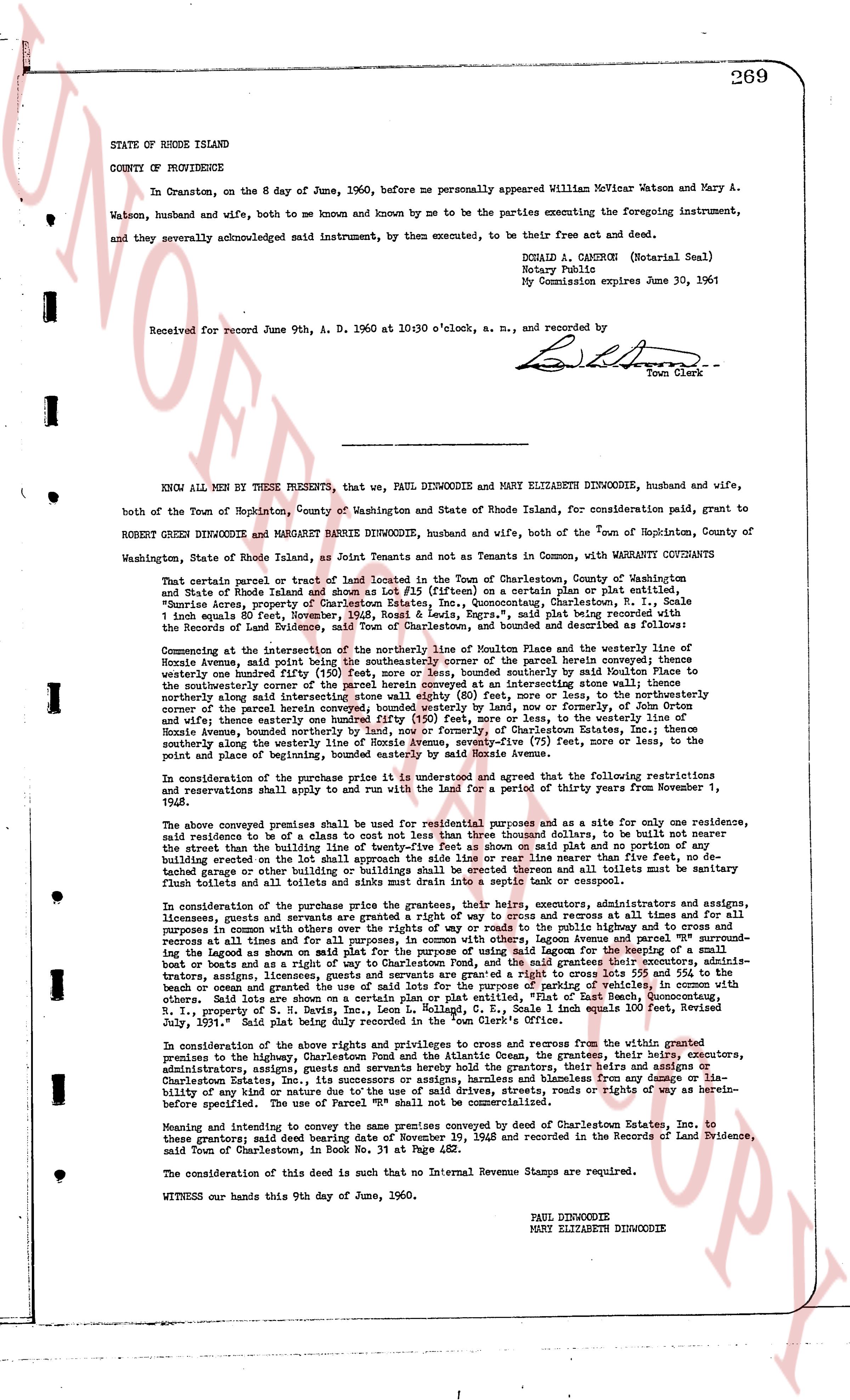
269
STATE OF RHODE ISLAND
COUNTY OF PROVIDENCE
In Cranston, on the 8 day of June, 1960, before me personally appeared William McVicar Watson and Mary A. Watson, husband and wife, both to me be known and by me to be known by me to be the parties executing the foregoing instrument, and they severally acknowledged said instrument, by them executed, to be their free act and deed.
DONALD A. CAMERON (Notarial Seal)
Notary Public
My Commission expires June 30, 1961
Received for record June 9th, A. D. 1960 at 10:30 o'clock, a. m., and recorded by
[Signature]
Town Clerk
----
KNOW ALL MEN BY THESE PRESENTS, that we, PAUL DINWOODIE and MARGARET ELIZABETH DINWOODIE, husband and wife, both of the Town of Hopkinton, County of Washington and State of Rhode Island, for consideration paid, grant to ROBERT GLADYS T BROWN and MARGARET BARRIE DINWOODIE, husband and wife, both of the Town of Hopkinton, County of Washington, State of Rhode Island, as Joint Tenants and not as Tenants in Common, with WARRANTY CONVEYANTS
That certain parcel or tract of land located in the Town of Charlestown, County of Washington and State of Rhode Island shown and described as lot #15 (flatten on a common plan or plat entitled, "Sunrise Acres, property of Charlestown Estates Inc., Map showing Charlestown, R.I. Lot sizes 1/4th acre equals 80 feet, Between the roads of [?] and [?], Page 1", said plat being recorded with the Records of the Land Evidence, said Town of Charlestown, and bounded and described as follows:
Commencing at the intersection of the northerly line of Houston Avenue and the westerly line of Hone Avenue, said point being the north westerly corner of the parcel herein conveyed then running southerly one hundred forty five (145) feet, more or less, and thence, southerly bound by said Houston Avenue to the southwesterly corner of the parcel herein conveyed then running easterly intersecting some water line eighty (80) feet, more or less, to the northwesterly corner of the parcel herein conveyed then running northerly one hundred forty five (145) feet, more or less, to the northerly line of Hone Avenue, thence easterly one hundred forty five (145) feet, more or less, to the westerly line of Hone Avenue, thence southerly one hundred forty five (145) feet, more or less, to the southerly line of Houston Avenue, thence southerly along the westerly line of Hone Avenue, seventy-five (75) feet, more or less, to the point of beginning and thence by this course to the point of beginning.
In consideration of the purchase price it is understood and agreed that the following restrictions and reservations shall apply to and run with the land for a period of thirty years from November 1, 1945.
The above conveyed premises shall be to be used for residential purposes and as a site for only one residence, said residence to be a class of its own not less than three thousand square feet, to be built not nearer than the westerly line of the building lot than twenty five feet, and no building or shed or other building erected on the lot shall approach the side line of its lot rear line nearer than five feet, no detached garage or other building or buildings shall be erected thereon and all toilets must be sanitary flush toilets and all toilets must be located at least twenty five feet from any house or garage.
In consideration of the purchase price given the grantors, their heirs, executors, administrators and assigns, licensees, covenants and grants are granted a right of way to cross and recross at all times and at all hours for purposes of access, existing lines of utility and for all other purposes, on the public highway known as Hone Avenue, recross at all times and for all purposes, in common with others, along Lagoon Avenue and parcel #"R" surrounding the Lagoon as shown on a map entitled "Sunrise Acres, property of Charlestown Estates Inc.", recorded in the book and pages as and with a right of way to Charlestown Sand, and the paid grantors their executors, administrators, assigns, licensees, covenants and grants are granted a right of way to cross and recross at all times, by beach or ocean and grants the use of said lots for the purpose of parking of vehicles, in common with others, along Hone Avenue, from the intersection of Hone Avenue and Houston Avenue, to the Atlantic Ocean, B.P., 1, property of S. N. Bates, et al., Section 1, Lot McHugh, G. L., Scale 1 inch equals 100 feet, Revised July, 1937, said right of way is thirty (30) feet wide.
In consideration of the above rights and privileges to cross and recross from the westerly boundaries premises to the highway, Charlestown Pond and the Atlantic Ocean, the grantors, their heirs, executors, administrators, assigns, licensees, covenants and grants are held harmless and blameless from any damage or liability of any kind or nature, what so ever, on the said premises, streets, roads or rights of way as hereinbefore specified. The use of Parcel #"R" shall be limited to parking of vehicles.
Meaning and intending to convey the same premises conveyed by deed of Charlestown Estates Inc. to these grantors; said deed bearing date of November 19, 1948 and recorded in the Records of Land Evidence, said Town of Charlestown, in Book 242, Page 132.
The consideration of this deed is such that no Internal Revenue Stamps are required.
WITNESS our hands this 9th day of June, 1960.
PAUL DINWOODIE
MARY ELIZABETH DINWOODIE
The page as recorded