The instrument's own words
page 1 · read by Gemma vision
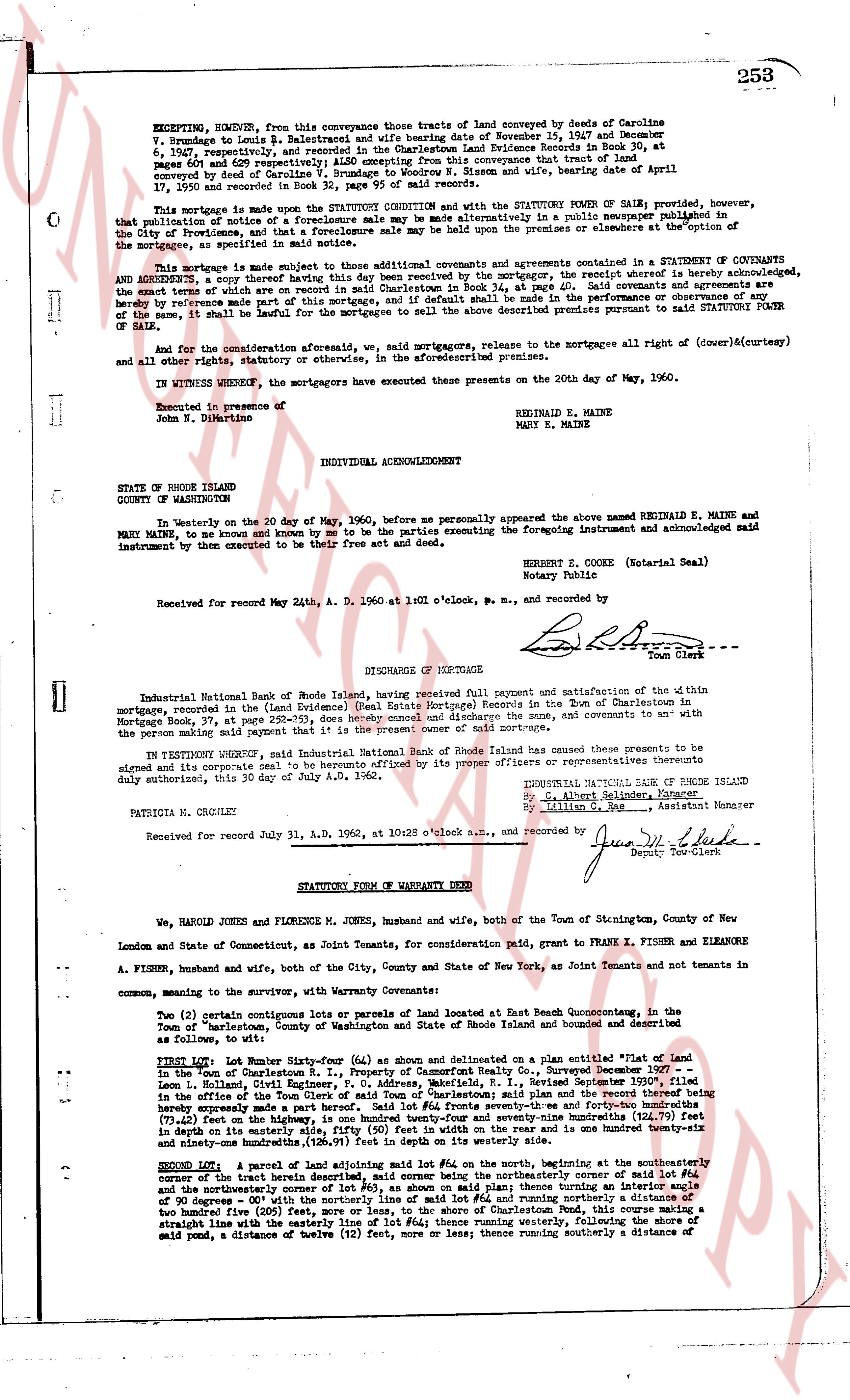
253
EXCEPTING, HOWEVER, from this conveyance those tracts of land conveyed by deeds of Caroline V. Brandegee to Louis B. Balestrieri and wife bearing dates of November 15, 1947 and December 9, 1947, respectively, and recorded in the Charlestown Land Evidence Records in Book 30, at pages 601 and 629 respectively; ALSO EXCEPTING from this conveyance that tract of land conveyed by deed of Caroline V. Brandegee to Alice Brandegee and wife, dated April 17, 1959 and recorded in Book 32, page 95 of said records.
This mortgage is made upon the STATUTORY COVENANT and with the STATUTORY POWER OF SALE granted, however, that public notice of a foreclosure sale be given by advertising in a public newspaper published in the City of Providence, and that a foreclosure sale may be held upon the premises or elsewhere at the option of the mortgagee, as specified in the statute.
This mortgage is made subject to all those additional covenants and agreements contained in a STATUTORY COVENANT OF COVENANTS AND AGREEMENTS, a copy thereof having this day been received by the mortgagor, the receipt whereof hereby acknowledged, the terms of which are as follows: [?] the mortgagor shall keep said covenants and agreements and the mortgagee is hereby reference made part of this mortgage, and if default shall be made in the performance or observance of any of the same, it shall be lawful for the mortgagee to sell the above described premises pursuant to said STATUTORY POWER OF SALE.
And for the consideration aforesaid, we, said mortgagors, release to the mortgagee all right of (dower)&(curtesy) and all other rights, statutory or otherwise, in the aforementioned premises.
IN WITNESS WHEREOF, the mortgagors have executed the presents on the 20th day of May, 1960.
Executed in presence of
John N. DiLorenzo
REGINALD E. MAINE
MARY E. MAINE
INDIVIDUAL ACKNOWLEDGEMENT
STATE OF RHODE ISLAND
COUNTY OF WASHINGTON
In Westerly on the 20 day of May, 1960, before me personally appeared the above named REGINALD E. MAINE and MARY E. MAINE, to me and known by me to be the parties executing the foregoing Instrument and acknowledged said instrument by them to be executed as their free act and deed.
ROBERT E. COOKE (Notarial Seal)
Notary Public
Received for record May 24th, A. D. 1960 at 1:01 o'clock p.m., and recorded by
[Signature] Town Clerk
----
DISCHARGE OF MORTGAGE
Industrial National Bank of Rhode Island, having received full payment and satisfaction of the within mortgage, recorded in the (Land Evidence) (Real Estate Mortgage) Records in the Town of Charlestown in Mortgage Book 37, at page 252-255, does hereby cancel and discharge the sum, and covenants to and with the person or persons paid said mortgage, and releases said mortgage.
IN TESTIMONY WHEREOF, said Industrial National Bank of Rhode Island causes these presents to be signed and its corporate seal to be hereunto affixed by its proper officers or representatives thereunto duly authorized, this 30 day of July A.D. 1962.
INDUSTRIAL NATIONAL BANK OF RHODE ISLAND
By: [Signature] Assistant Manager
by: Lillian G. Rae, Assistant Manager
PATRICIA N. CRONLEY
Received for record July 31, A.D. 1962, at 10:28 o'clock a.m., and recorded by
[Signature] Deputy Town Clerk
----
STATUTORY FORM OF WARRANTY DEED
We, HAROLD JONES and FLORENCE M. JONES, husband and wife, both of the Town of Stonington, County of New London and State of Connecticut, as Joint Tenants, for consideration paid, grant to FRANK X. FISHER and ELEANORE A. FISHER, husband and wife, both of the City, County and State of New York, as Joint Tenants and not tenants in common, meaning the survivor, with Warranty Covenants:
Two (2) certain contiguous lots or parcels of land located at East Beach Quonochontaug, in the Town of Charlestown, County of Washington and State of Rhode Island bounded and described as follows, to wit:
FIRST Lot: Lot Number Sixty-four (64) as shown and delineated on a plan entitled "Flat Land in the Town of Charlestown R.I., Property of Cameron Family Rect. Surveyed Decemr 1907" - Louis H. Rutter, R.S., said plan being filed in the Registry of Real Estate Records in the Office of the Town of Clerks of said Town of Charlestown; said plan and the record thereof being typed as follows: "Beginning at a stone boundary marker which marks the northwest corner and Fronting on the (72.5) feet on the highway, is one hundred twenty-four and seventy-nine hundredths (124.79) feet in length (deep) in its northeasterly line, then turning east forty-nine and six hundredths (49.06) feet in length and ninety-one hundredths (126.91) feet in depth on its westerly side."
SECOND Lot: a parcel of land adjoining said lot #64 on the north, beginning at the southeasterly corner of the boundary line of said lot #64, then running northeasterly corner of said lot #64 and the northeasterly corner of lot #63, as shown on said plan; thence turning an interior angle of 90 degrees east with the boundary line of said lot #64, then running easterly a distance of two hundred five (205) feet, more or less, to the shore of Charlestown Pond, this course making a straight line with the easterly line of lot #64; thence running easterly, then turning a course of said pond, a distance of twelve (12) feet, more or less thence running southerly a distance of
page 2 · read by Gemma vision
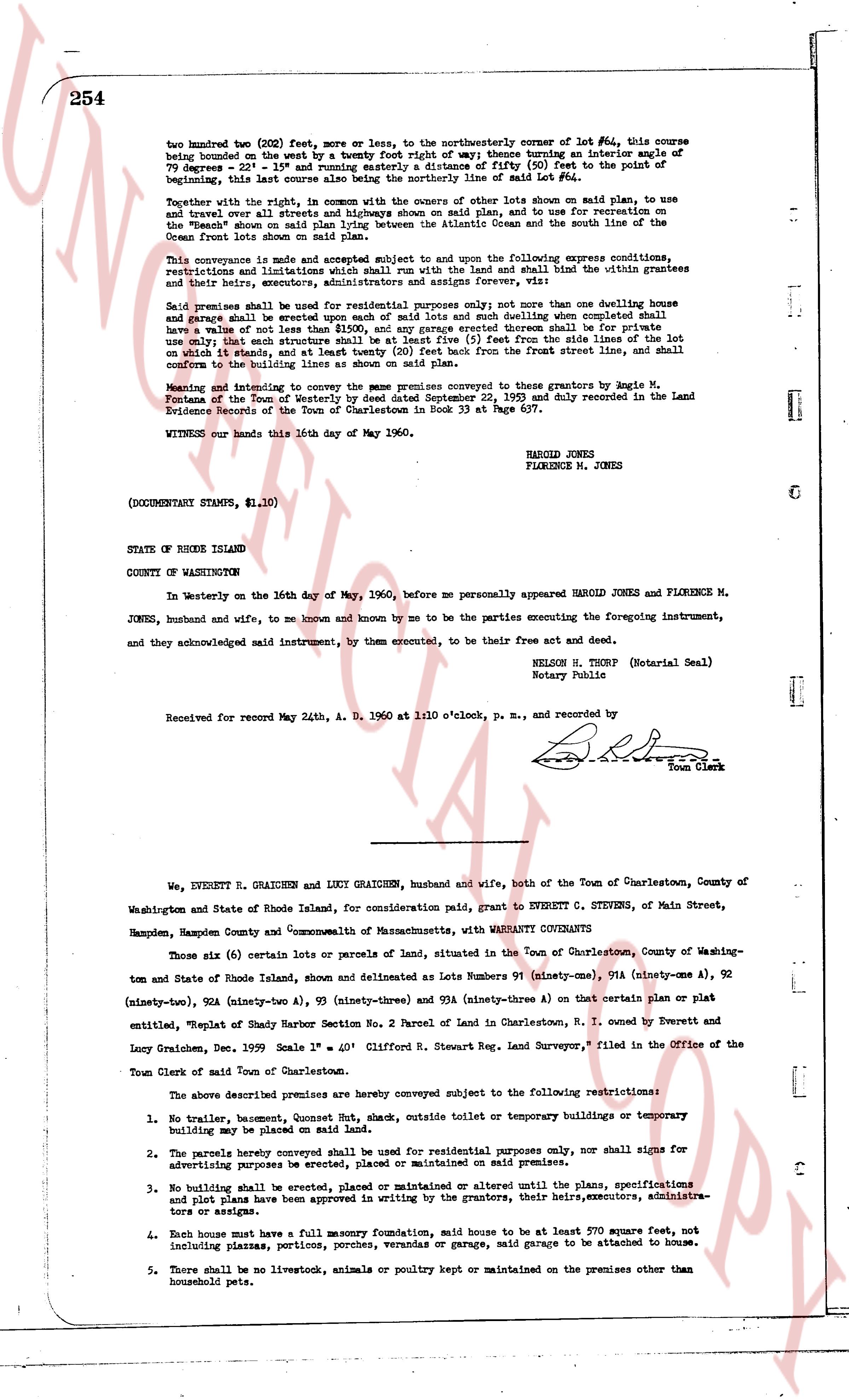
254
two hundred two (202) feet, more or less, to the northwesterly corner of lot #64, this course being bounded on the west by a twenty foot right of way; thence turning an interior angle of 79 degrees - 22' - 22" 15" and running easterly a distance of fifty (50) feet to the point of beginning; this last course also being bounded northerly by a portion of said lot #64.
Together with the right, in common with the owners of other lots shown on said plan, to use and travel over all streets and highways shown on the said plan, and to use for recreation on the land ve "Beach" shown on said plan lying between the Atlantic Ocean and the south line of the use and recreation grant lands shown on said plan.
This conveyance is made and accepted subject and subject to and upon the following express conditions, restrictions and limitations which shall run with the land and shall bind the grantees and their heirs, executors, administrators, assigns and successors, now and forever, viz:
Said premises shall be used for residential purposes only; not more than one dwelling house and garage shall be erected upon each of said lots and such dwelling when completed shall have a value of not less than $2,500.00. No building shall be erected thereon shall it be for public use only; that each structure shall be at least five (5) feet from the side lines of the lot on which it stands, and at least twenty (20) feet back from the front street lines, and shall conform to the building lines as shown on said plan.
Meaning and intending to convey the same premises conveyed in deed from grantors Agie M. Fontane et al to the grantees in deed dated January 22, 1950 and duly recorded in the Land Evidence Records of the Town of Charlestown in Book 33 at Page 607.
WITNESS our hands this 16th day of May, 1960.
HAROLD JONES
FLORENCE M. JONES
(DOCUMENTARY STAMPS, $1.10)
STATE OF RHODE ISLAND
COUNTY OF WASHINGTON
In Westerly on the 16th day of May, 1960, before me personally appeared HAROLD JONES and FLORENCE M. JONES, husband and wife, to me known and known by me to be the parties executing the foregoing instrument, and they acknowledged said instrument, by them executed, to be their free act and deed.
NELSON H. THORP (Notarial Seal)
Notary Public
Received for record May 24th, A. D. 1960 at 1:10 o'clock, p.m., and recorded by [Signature]
Town Clerk
----
We, EVERETT H. GRAIDEN and LUCY GRAIDEN, husband and wife, both of the Town of Charlestown, County of Washington and State of Rhode Island, for consideration paid, grant to EVERETT C. STEVENS, of Main Street, Hampden, Hampden County and Commonwealth of Massachusetts, with WARRANTY COVENANTS
Those six (6) certain lots or parcels of land, situated in the Town of Charlestown, County of Washington and State of Rhode Island, shown and delineated as Lots Numbers 91 (ninety-one), 91A (ninety-one A), 92 (ninety-two), 92A (ninety-two A), 93 (ninety-three) and 93A (ninety-three A) on that certain plat or plan executed "Replat of Shady Harbor Section No. 2 Parcel of Land in Charlestown, R. I. owned by Everett and Lucy Graiden, Dec. 1959" Scale 1" = 40' Clifford R. Stewart Reg. Land Surveyor," filed in Office of the Town Clerk of said Town of Charlestown.
The above described premises are hereby conveyed subject to the following restrictions:
1. No trailer, basement Corner Shed, out house, septic toilets or temporary buildings or temporary building may be placed on said lots.
2. The parcels hereby conveyed shall be used for residential purposes only, nor shall signs for advertising purposes be erected, placed or maintained on said premises.
3. No building shall be erected, placed or maintained or altered until the plans, specifications and plot plans have been approved in writing by the grantors, their heirs, executors, administrators or assigns.
4. Each house must have a full masonry foundation, said house to be at least 970 square feet, not including plazas, porticos, porches, verandas or garage, said garage to be attached to house.
5. There shall be no livestock, animals or poultry kept or maintained on the premises other than household pets.
The page as recorded