The instrument's own words
page 1 · read by Gemma vision
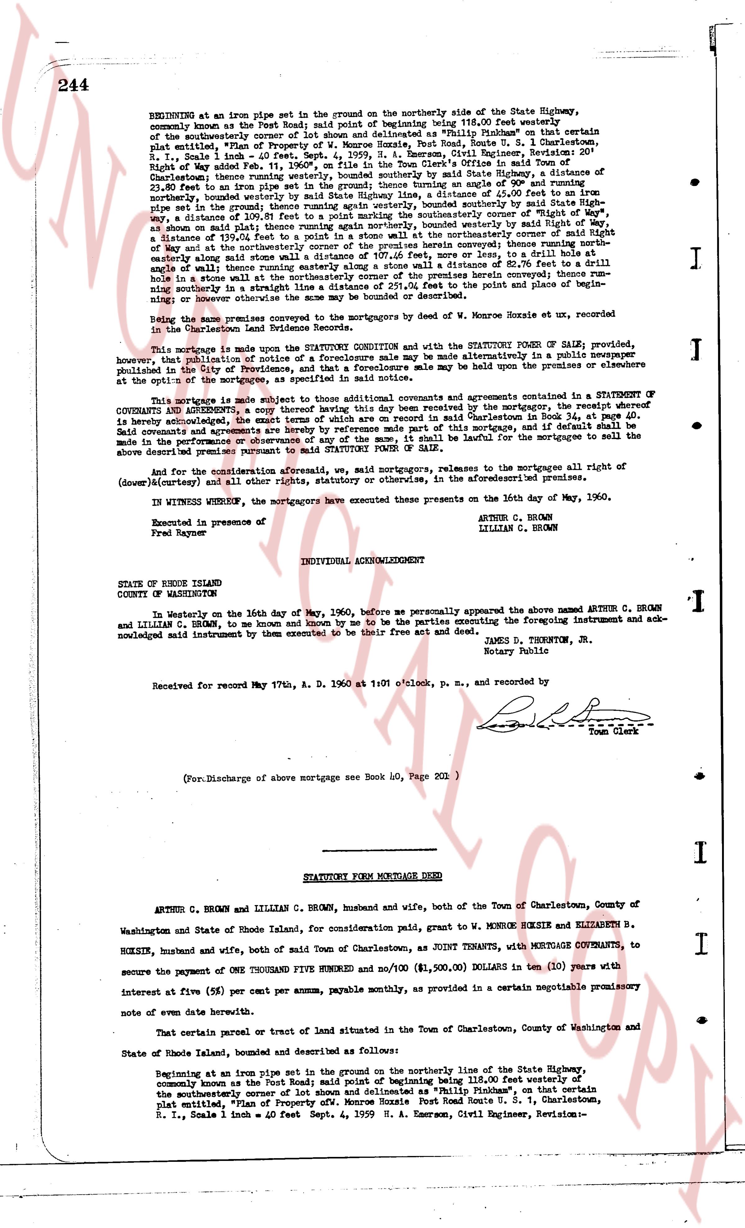
244
BEGINNING at an iron pipe set in the ground on the northerly side of the State Highway, commonly known as the Post Road; said point of beginning being 118.00 feet westerly of the southeasterly corner of a tract of land designated as "Philip Inchley" on that certain plat entitled, "Plan of Property of W. Monroe Hoxsie, Post Road Route U. S. 1, Charlestown, R. I.," dated June 1st, 1936, surveyed by H. A. Emerson, Civil Engineer, Revision- Right of Way added Feb. 11, 1960", on file in the Town Clerk's Office in said Town of Charlestown, book 35, page 111; thence running easterly along said State Highway, s a distance of 23.80 feet to an iron pipe set in the ground; thence turning angle way on southerly a distance of 118.00 feet, northerly bound easterly; thence turning angle way on southerly, bounded southerly by said State Highway, way a distance of 150.00 feet to an iron pipe set in the ground; thence turning angle way on southerly, bounded on said plat; thence turning angle way northerly, bounded westerly by said Right of Way, a distance of 137.03 feet to a distance of 137.03 feet to a distance of 137.03 feet to a distance of 137.03 feet to a distance of 137.03 feet to a distance of 137.03 feet to a distance of 137.03 feet to a distance of 137.03 feet to a distance of 137.03 feet to a distance of 137.03 feet to a distance of 137.03 feet to a distance of 137.03 feet to a distance of 137.03 feet to a distance of 137.03 feet to a distance of 137.03 feet to a distance of 137.03 feet to a distance of 137.03 feet to a distance of 137.03 feet to a distance of 137.03 feet to a distance of 137.03 feet to a distance of 137.03 feet to a distance of 137.03 feet to a distance of 137.03 feet to a distance of 137.03 feet to a distance of 137.03 feet to a distance of 137.03 feet to a distance of 137.03 feet to a distance of 137.03 feet to a distance of 137.03 feet to a distance of 137.03 feet to a distance of 137.03 feet to a distance of 137.03 feet to a distance of 137.03 feet to a distance of 137.03 feet to a distance of 137.03 feet to a distance of 137.03 feet to a distance of 137.03 feet to a distance of 137.03 feet to a distance of 137.03 feet to a distance of 137.03 feet to a distance of 137.03 feet to a distance of 137.03 feet to a distance of 137.03 feet to a distance of 137.03 feet to a distance of 137.03 feet to a distance of 137.03 feet to a distance of 137.03 feet to a distance of 137.03 feet to a distance of 137.03 feet to a distance of 137.03 feet to a distance of 137.03 feet to a distance of 137.03 feet to a distance of 137.03 feet to a distance of 137.03 feet to a distance of 137.03 feet to a distance of 137.03 feet to a distance of 137.03 feet to a distance of 137.03 feet to a distance of 137.03 feet to a distance of 137.03 feet to a distance of 137.03 feet to a distance of 137.03 feet to a distance of 137.03 feet to a distance of 137.03 feet to a distance of 137.03 feet to a distance of 137.03 feet to a distance of 137.03 feet to a distance of 137.03 feet to a distance of 137.03 feet to a distance of 137.03 feet to a distance of 137.03 feet to a distance of 137.03 feet to a distance of 137.03 feet to a distance of 137.03 feet to a distance of 137.03 feet to a distance of 137.03 feet to a distance of 137.03 feet to a distance of 137.03 feet to a distance of 137.03 feet to a distance of 137.03 feet to a distance of 137.03 feet to a distance of 137.03 feet to a distance of 137.03 feet to a distance of 137.03 feet to a distance of 137.03 feet to a distance of 137.03 feet to a distance of 137.03 feet to a distance of 137.03 feet to a distance of 137.03 feet to a distance of 137.03 feet to a distance of 137.03 feet to a distance of 137.03 feet to a distance of 137.03 feet to a distance of 137.03 feet to a distance of 137.03 feet to a distance of 137.03 feet to a distance of 137.03 feet to a distance of 137.03 feet to a distance of 137.03 feet to a distance of 137.03 feet to a distance of 137.03 feet to a distance of 137.03 feet to a distance of 137.03 feet to a distance of 137.03 feet to a distance of 137.03 feet to a distance of 137.03 feet to a distance of 137.03 feet to a distance of 137.03 feet to a distance of 137.03 feet to a distance of 137.03 feet to a distance of 137.03 feet to a distance of 137.03 feet to a distance of 137.03 feet to a distance of 137.03 feet to a distance of 137.03 feet to a distance of 137.03 feet to a distance of 137.03 feet to a distance of 137.03 feet to a distance of 137.03 feet to a distance of 137.03 feet to a distance of 137.03 feet to a distance of 137.03 feet to a distance of 137.03 feet to a distance of 137.03 feet to a distance of 137.03 feet to a distance of 137.03 feet to a distance of 137.03 feet to a distance of 137.03 feet to a distance of 137.03 feet to a distance of 137.03 feet to a distance of 137.03 feet to a distance of 137.03 feet to a distance of 137.03 feet to a distance of 137.03 feet to a distance of 137.03 feet to a distance of 137.03 feet to a distance of 137.03 feet to a distance of 137.03 feet to a distance of 137.03 feet to a distance of 137.03 feet to a distance of 137.03 feet to a distance of 137.03 feet to a distance of 137.03 feet to a distance of 137.03 feet to a distance of 137.03 feet to a distance of 137.03 feet to a distance of 137.03 feet to a distance of 137.03 feet to a distance of 137.03 feet to a distance of 137.03 feet to a distance of 137.03 feet to a distance of 137.03 feet to a distance of 137.03 feet to a distance of 137.03 feet to a distance of 137.03 feet to a distance of 137.03 feet to a distance of 137.03 feet to a distance of 137.03 feet to a distance of 137.03 feet to a distance of 137.03 feet to a distance of 137.03 feet to a distance of 137.03 feet to a distance of 137.03 feet to a distance of 137.03 feet to a distance of 137.03 feet to a distance of 137.03 feet to a distance of 137.03 feet to a distance of 137.03 feet to a distance of 137.03 feet to a distance of 137.03 feet to a distance of 137.03 feet to a distance of 137.03 feet to a distance of 137.03 feet to a distance of 137.03 feet to a distance of 137.03 feet to a distance of 137.03 feet to a distance of 137.03 feet to a distance of 137.03 feet to a distance of 137.03 feet to a distance of 137.03 feet to a distance of 137.03 feet to a distance of 137.03 feet to a distance of 137.03 feet to a distance of 137.03 feet to a distance of 137.03 feet to a distance of 137.03 feet to a distance of 137.03 feet to a distance of 137.03 feet to a distance of 137.03 feet to a distance of 137.03 feet to a distance of 137.03 feet to a distance of 137.03 feet to a distance of 137.03 feet to a distance of 137.03 feet to a distance of 137.03 feet to a distance of 137.03 feet to a distance of 137.03 feet to a distance of 137.03 feet to a distance of 137.03 feet to a distance of 137.03 feet to a distance of 137.03 feet to a distance of 137.03 feet to a distance of 137.03 feet to a distance of 137.03 feet to a distance of 137.03 feet to a distance of 137.03 feet to a distance of 137.03 feet to a distance of 137.03 feet to a distance of 137.03 feet to a distance of 137.03 feet to a distance of 137.03 feet to a distance of 137.03 feet to a distance of 137.03 feet to a distance of 137.03 feet to a distance of 137.03 feet to a distance of 137.03 feet to a distance of 137.03 feet to a distance of 137.03 feet to a distance of 137.03 feet to a distance of 137.03 feet to a distance of 137.03 feet to a distance of 137.03 feet to a distance of 137.03 feet to a distance of 137.03 feet to a distance of 137.03 feet to a distance of 137.03 feet to a distance of
page 2 · read by Gemma vision
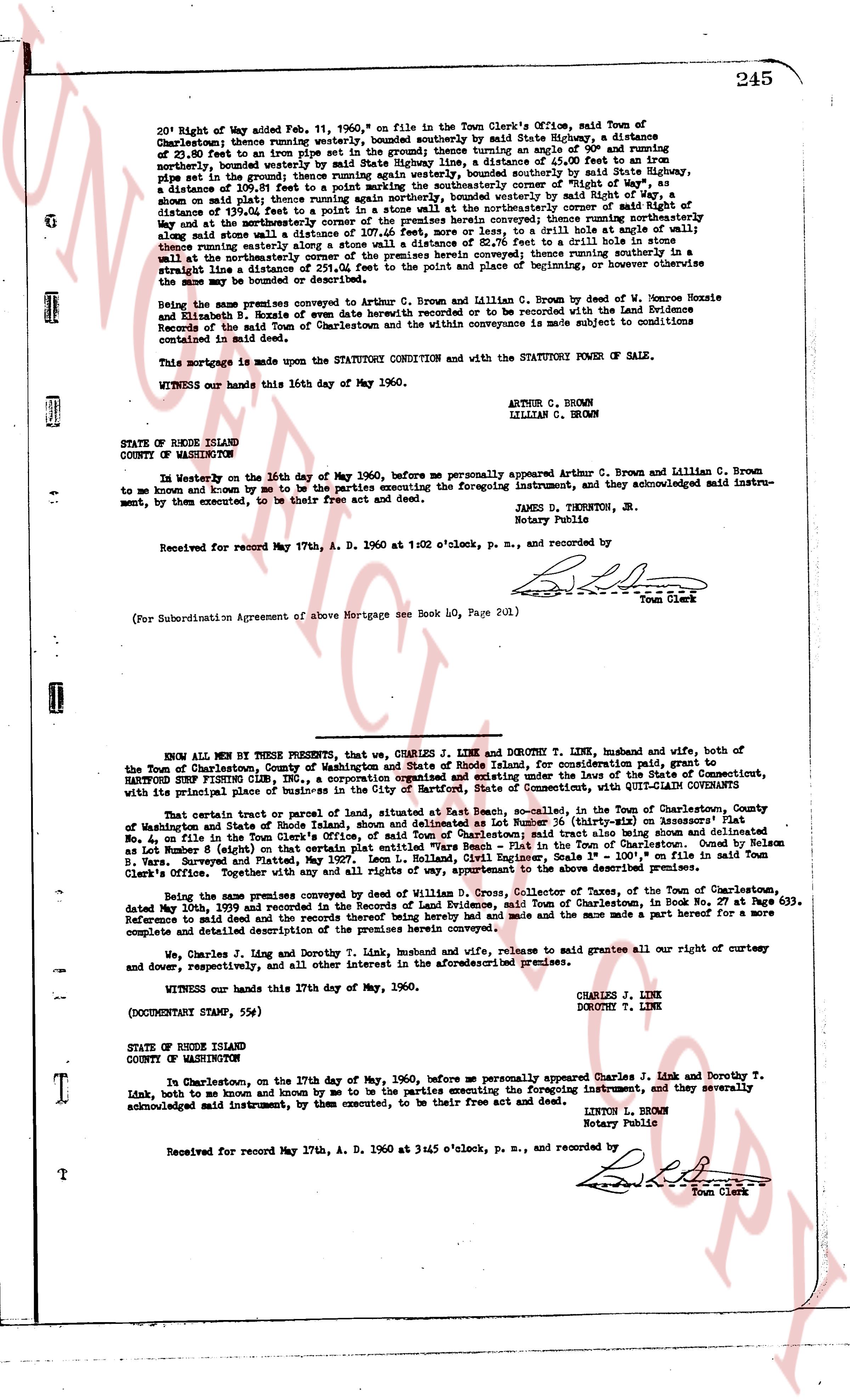
245
20' Right of Way added Feb. 11, 1960, on file in the Town Clerk's Office, said Town of Charlestown; thence running easterly [?] bounded southerly by said State Highway, a distance of 23.55 feet to a stone marker set in the ground; thence turning an angle of 90° and running northerly, bounded westerly by said State Highway line, a distance of 55.00 feet to the line of the road; thence running northerly, bounded westerly by said State Highway, a distance of 109.81 feet to a point marking the southeasterly corner of "Right of Way", as shown on said plat; thence running northerly, bounded easterly by said Right of Way, a distance of 139.01 feet to a point in a stone wall at the northeasterly corner of said Right of Way and at the intersection of the boundary lines of the two parcels; thence running southerly along said stone wall a distance of 107.46 feet, more or less, to a drill hole at angle wall of 90°; thence running westerly, bounded northerly by said stone wall, to a drill hole in a stone wall at the northeasterly corner of the premises herein conveyed; thence running southerly in a straight line a distance of 107.46 feet to the point and place of beginning, or however otherwise the same may be bounded or described therein.
Being the same premises conveyed to Arthur C. Brown and Lillian C. Brown by deed of Elizabeth Hoxsie and Elizabeth B. Hoxsie of date bearing the same date as this mortgage to be recorded with the Land Evidence Records of the Town of Charlestown and the conveyance is made subject to conditions contained in said deed.
This mortgage is made upon the STATUTORY CONDITION and with the STATUTORY POWER OF SALE.
WITNESS our hands this 16th day of May 1960.
ARTHUR C. BROWN
LILLIAN C. BROWN
STATE OF RHODE ISLAND
COUNTY OF WASHINGTON
In Westerly on the 16th day of May 1960, before me personally appeared Arthur C. Brown and Lillian C. Brown to me known and known by me to be the parties executing the foregoing instrument, and they acknowledged said instrument, by them executed, to be their free act and deed.
JAMES D. TINKERTON, Jr.
Notary Public
Received for record May 17th, A. D. 1960 at 11:02 o'clock, p. m., and recorded by [Signature]
Town Clerk
(For Subordination Agreement of above Mortgage see Book 140, Page 201)
----
KNOW ALL MEN BY THESE PRESENTS, that we, CHARLES J. LINK and DOROTHY T. LINK, husband and wife, both of the Town of Charlestown, County of Washington and State of Rhode Island, for consideration paid, grant to HARTFORD FIRE INSURANCE CO., a corporation organized under the laws of the State of Connecticut, HARTFORD, CONNECTICUT, with its principal place of business in the City of Hartford, State of Connecticut, with QUIT-CLAIM COVENANTS
That certain tract or parcel of land, situated at East Beach, so-called, in the Town of Charlestown, County of Washington and State of Rhode Island, bounded on the north by the Atlantic Ocean, and bounded on the east, south and west, as more fully described in the Town Clerk's Office, said town of Charlestown said tract also being shown and delineated as Lot Number 8 (eight) on that certain plat entitled "Survey of a portion of the Farm of Charles G. Hoxsie" made by W. Monroe Hoxsie, Civil Engineer, Scale 1" = 100', on file in said Town Clerk's Office. Verified copy thereof filed May 12, 1936, apportioned to the above described premises.
Being the same premises conveyed by deed of William D. Gross, Collector of Taxes of the Town of Charlestown, dated June 18th, 1937 and recorded in the Land Evidence Records of Charlestown, in Book 27, page 247. Reference to said deed and the records thereof being hereby made and the same made a part hereof for a more complete and detailed description of the premises.
We, Charles J. Link and Dorothy T. Link, husband and wife, release and grant remise all our right of curtesy and dower, respectively, and all other interest in the aforementioned premises.
WITNESS our hands this 17th day of May, 1960.
CHARLES J. LINK
DOROTHY T. LINK
(DOCUMENT STAMP, 5NG)
STATE OF RHODE ISLAND
COUNTY OF WASHINGTON
In Charlestown, on the 17th day of May, 1960, before me personally appeared Charles J. Link and Dorothy T. Link, both to me known and known by me to be the parties executing the foregoing instrument, and they severally acknowledged said instrument, by them executed, to be their free act and deed.
LINTON L. BROWN
Notary Public
Received for record May 17th, A. D. 1960 at 3:45 o'clock, p. m., and recorded by [Signature]
Town Clerk
The page as recorded