The instrument's own words
page 1 · read by Gemma vision
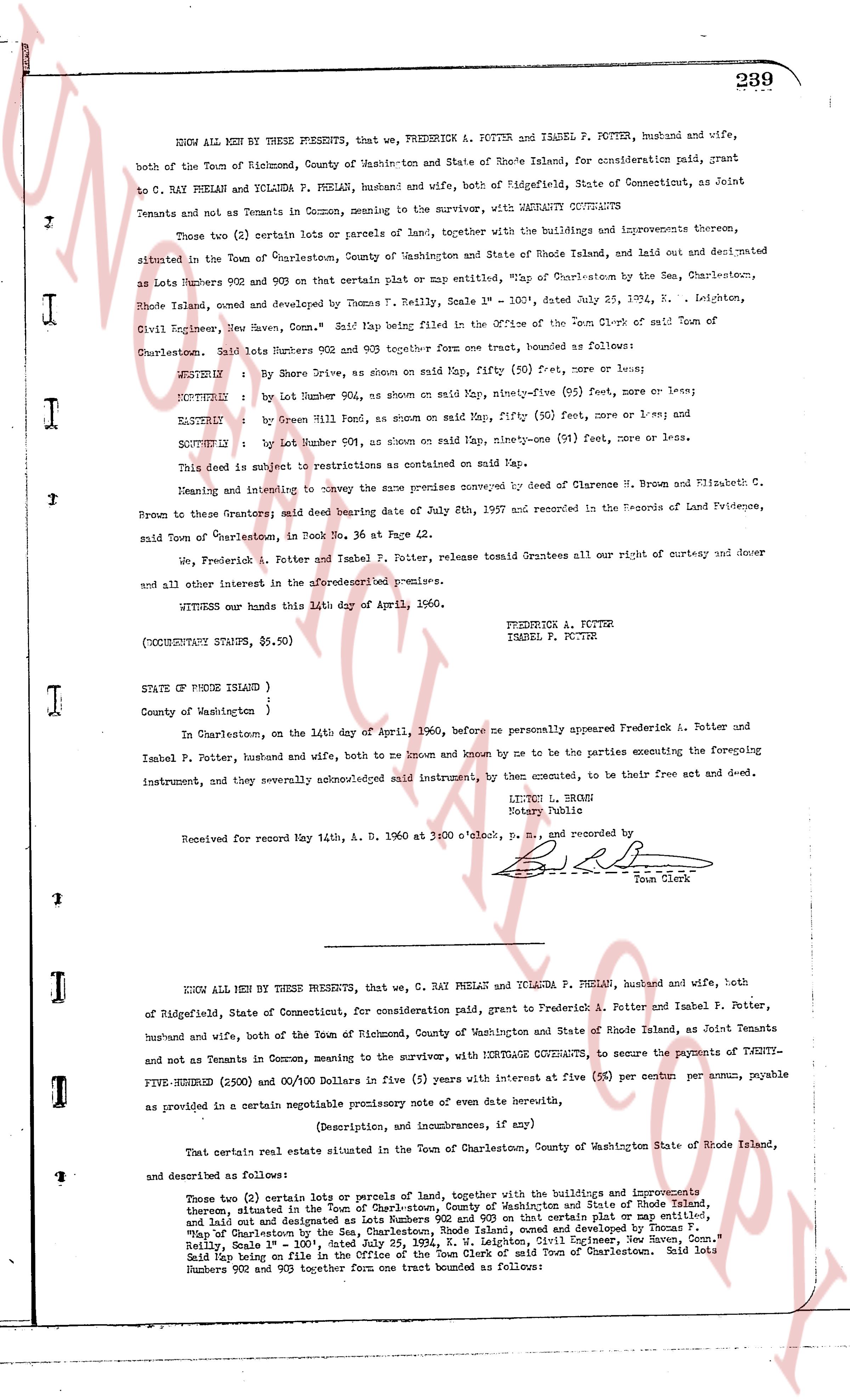
239
KNOW ALL MEN BY THESE PRESENTS, that we, FREDERICK A. POTTER and ISABEL P. POTTER, husband and wife, both of the Town of Richmond, County of Washington and State of Rhode Island, for consideration paid, grant to C. RAY PHELAN and YOLANDA P. PHELAN, husband and wife, both of Ridgefield, State of Connecticut, as Joint Tenants and not as Tenants in Common, meaning to the survivor, with WARRANTY COVENANTS
Those two (2) certain lots or parcels of land, together with the buildings and improvements thereon, situated in the Town of Charlestown, County of Washington and State of Rhode Island, and laid out and designated as Lots Numbers 902 and 903 on that certain plat or map entitled, "Map of Charlestown by the Sea, Charlestown, Rhode Island, owned and developed by Thomas F. Reilly, Scale 1" = 100', dated July 25, 1924, R. Leighton, Civil Engineer, New Haven, Conn." Said Map being filed in the Office of the Town Clerk of said Town of Charlestown. Said Lots Numbers 902 and 903 together form one tract, bounded as follows:
NORTHERLY : by Lot Number 904, as shown on said Map, fifty-five (55) feet, more or less;
NORTHESTERLY : by Shore Drive, as shown on said Map, fifty-nine (59) feet, more or less;
EASTERLY : by Lot Number 905, as shown on said Map, ninety-five (95) feet, more or less;
SOUTHERLY : by Green Hill Road, as shown on said Map, fifty (50) feet, more or less; and
WESTERLY : by Lot Number 901, as shown on said Map, ninety-one (91) feet, more or less.
This deed is subject to restrictions as contained on said Map.
Meaning and intending to convey the same premises conveyed by deed of Clarence H. Brown and Elizabeth B. Brown to these grantors; said deed being dated of July 8th, 1957 and recorded in the Records of Land Evidences, said Town of Charlestown, in Book No. 36 at Page 62.
We, Frederick A. Potter and Isabel P. Potter, realize Grantee all our right of curtesy and dower and all other interest in the aforementioned premises.
WITNESSED our hands this 14th day of April, 1960.
FREDERICK A. POTTER
ISABEL P. POTTER
(DOCUMENTARY STAMPS, $2.50)
STATE OF RHODE ISLAND )
County of Washington }
In Charlestown, on the 14th day of April, 1960, before me personally appeared Frederick A. Potter and Isabel P. Potter, husband and wife, both to me known and known by me to be the parties executing the foregoing instrument, and they severally acknowledged said instrument, by them executed, to be their free act and deed.
LITTON L. BRAMI
Notary Public
Received for record May 14th, A. D. 1960 at 3:00 o'clock, P. M., and recorded by
[Signature]
Town Clerk
----
KNOW ALL MEN BY THESE PRESENTS, that we, C. RAY PHELAN and YOLANDA P. PHELAN, husband and wife, both of Ridgefield, State of Connecticut, for consideration paid, grant to Frederick A. Potter and Isabel P. Potter, husband and wife, both of the Town of Richmond, County of Washington and State of Rhode Island, as Joint Tenants and not as Tenants in Common, meaning to the survivor, with WARRANTY COVENANTS, to secure the payments of TWENTY-FIVE HUNDRED (2500) and 00/100 Dollars in five (5) years with interest at five (5%) per centum per annum, payable as provided in a certain negotiable promissory note of even date herewith,
(Description, and incumbrances, and if any)
That certain real estate situated in the Town of Charlestown, County of Washington State of Rhode Island, and described as follows:
Those two (2) certain lot or parcels of land, together with the buildings and improvements thereon, situated in the Town of Charlestown, County of Washington and State of Rhode Island, and laid out and designated as Lots Numbers 902 and 903 on that certain plat or map entitled, "Map of Charlestown by the Sea, Charlestown, Rhode Island, owned and developed by Thomas F. Reilly, Scale 1" = 100', dated July 25, 1924, R. Leighton, Civil Engineer, New Haven, Conn." Said Map being filed in the Office of the Town Clerk of said Town of Charlestown. Said lots Numbers 902 and 903 together form one tract bounded as follows:
page 2 · read by Gemma vision
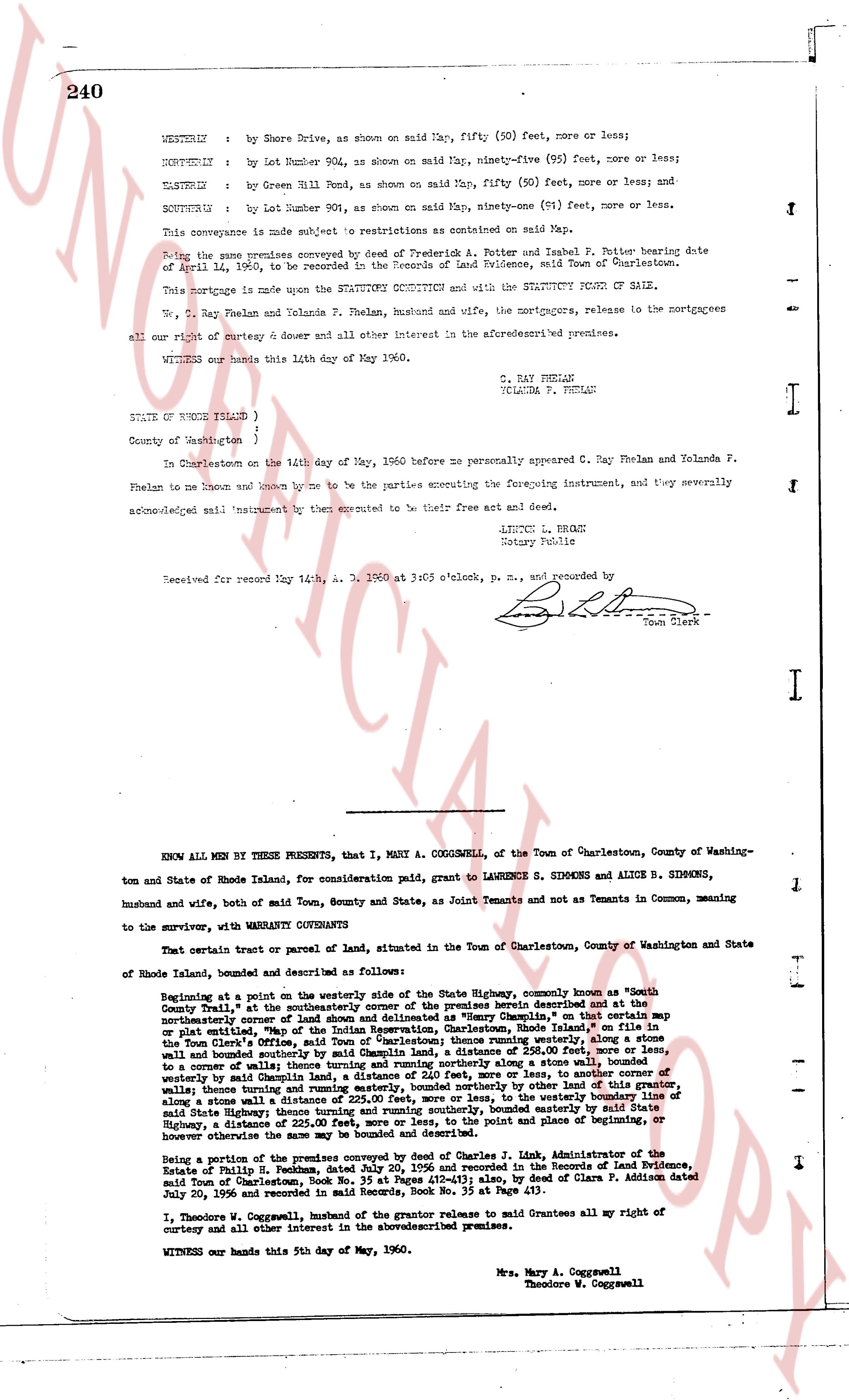
240 WESTERLY : by Shore Drive, as shown on said Map, fifty (50) feet, more or less;
NORTHERLY : by Lot Number 904, as shown on said Map, ninety-five (95) feet, more or less;
EASTERLY : by Green Hill Pond, as shown on said Map, fifty (50) feet, more or less; and
SOUTHERLY : by Lot Number 901, as shown on said Map, ninety-one (91) feet, more or less.
This conveyance is made subject to restrictions as contained on said Map.
Being the same premises conveyed by deed of Frederick A. Potter and Isabel P. Potter borne date
of April 14, 1960, to be recorded in the Records of Land Evidence, said Town of Charlestown.
This mortgage is made upon the STATUTORY COVENANTS and with the STATUTORY POWER OF SALE.
We, C. Ray Phelan and Yolanda P. Phelan, husband and wife, the mortgagors, release to the mortgagees
all our right of curtesy & dower and all other interest in the above described premises.
WITNESS our hands this 12th day of May, 1960.
C. RAY PHELAN
YOLANDA P. PHELAN
STATE OF RHODE ISLAND )
) ss.
County of Washington )
In Charlestown on the 14th day of May, 1960 before me personally appeared C. Ray Phelan and Yolanda P.
Phelan to me known and known by me to be the parties executing the foregoing instrument, and they severally
acknowledged said instrument by their instruments to be their free act and deed.
LINTON L. BROWN
Notary Public
Received for record May 14th, A. D. 1960 at 3:05 o'clock, p. m., and recorded by
[Signature] Town Clerk
----
KNOW ALL MEN BY THESE PRESENTS, that I, MARY A. COGGESWELL, of the Town of Charlestown, County of Washing-
ton State of Rhode Island, for consideration paid, grant to LAWRENCE S. SIMMONS and ALICE B. SIMMONS,
husband and wife, both of said Town, County and State, as Joint Tenants and not as Tenants in Common, meaning
to the survivor, with WARRANTY COVENANTS
That certain tract or parcel of land, situated in the Town of Charlestown, County of Washington and State
of Rhode Island, bounded and described as follows:
Beginning at a point on the westerly side of the State Highway commonly known as "South
County Trail," at the southeasterly corner of the premises herein described and at the
northeasterly corner of land of Abraham and Sarah and Mary Champin," on that certain map
or plat entitled "Map of the Indian Reservation, Charlestown, Rhode Island," on file in
the Town Clerk's office, described as follows: running westerly along a line forming a right
angle and bounded westerly by said Champin land, a distance of 255.00 feet, more or less
to a corner of said land, then running southerly along a stone wall and bounded southerly
along a stone wall, a distance of 220.00 feet, more or less, to another corner of wall,
thence turning easterly and bounded easterly by other land, along a stone wall and bounded
along a stone wall, a distance of 225.00 feet, more or less, to the westerly boundary line of
said State Highway, then running northerly along said Highway, a distance of 255.00 feet,
Highway, a distance of 225.00 feet, more or less, to the point and place of beginning, or
however otherwise the same may be bounded and described as follows:
Being a portion of the premises conveyed by deed of Charles J. Lock, Administrator of the
Estate of Philip H. Peckham, dated July 20, 1956 and recorded in the Records of Land Evidence,
said Town of Charlestown, Book No. 32 at Page 149, by deed of Clara P. Addison dated
July 20, 1956 and recorded in said Book No. 32 at Page 149.
I, Theodore W. Coggeswell, husband of the grantor release to said Grantees all my right of
curtesy and all other interest in the above described premises.
WITNESS our hands this 5th day of May, 1960.
Mrs. Mary A. Coggeswell
Theodore W. Coggeswell
The page as recorded