The instrument's own words
page 1 · read by Gemma vision
221
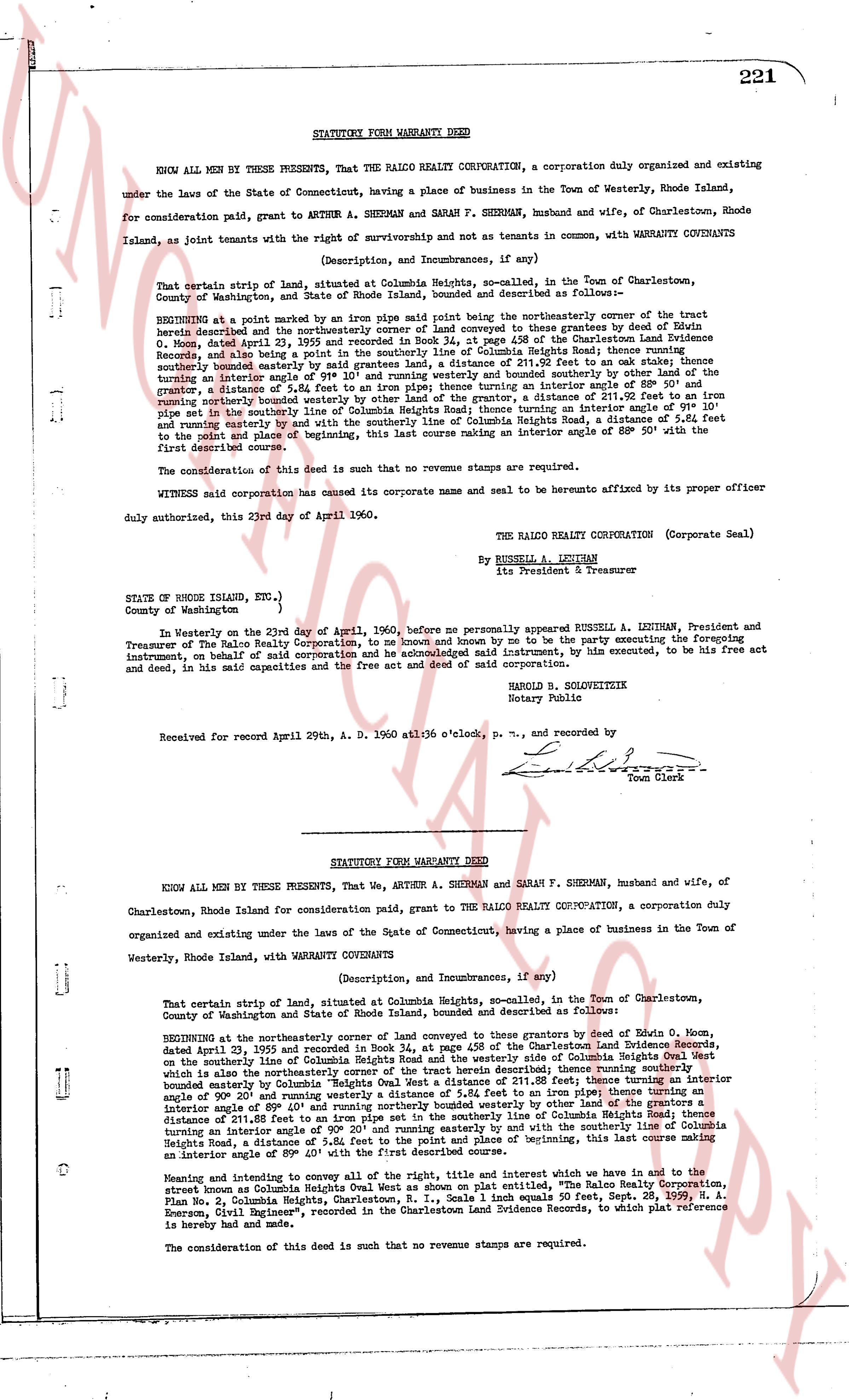
STATUTORY FORM WARRANTY DEED
KNOW ALL MEN BY THESE PRESENTS, That THE RALCO REALTY CORPORATION, a corporation duly organized and existing under the laws of the State of Connecticut, having a place of business in the Town of Westerly, Rhode Island, for consideration paid, grant to ARTHUR A. SHERMAN and SARAH F. SHERMAN, husband and wife, of Charlestown, Rhode Island, as joint tenants with the right of survivorship and not as tenants in common, with WARRANTY CONVEYANTS
(Description, and Incumbrances, if any)
That certain strip of land, situated at Columbia Heights, so-called, in the Town of Charlestown, County of Washington, and State of Rhode Island, bounded and described as follows:
BEGINNING at a point marked by an iron pipe said point being the northeasterly corner of the tract herein described and the northeasterly corner of the tracts conveyed to those grantees by deed of Edwin O. Moore, dated April 23, 1955 and recorded in Book 34, at page 45 of the Charlestown Land Evidence Records; thence turning an interior angle of 89° 50' and running southerly 211.88 feet to an oak stake; thence turning a southerly bounded easterly bounded by said grantees land, a distance of 211.20 feet to an oak stake; thence turning an interior angle of 89° 50' and running easterly 5.42 feet to an iron pipe; thence turning an interior angle of 89° 50' and running northerly, a distance of 5.42 feet to an iron pipe; thence turning an interior angle of 89° 50' and running northerly, a distance of 211.20 feet to an iron pipe; thence turning an interior angle of 91° 10' and running easterly 5.42 feet to an iron pipe set in the southerly line of Columbia Heights Road; thence turning with the centerline of Columbia Heights Road, a distance of 211.88 feet to the point and place of beginning, this last course making an interior angle of 89° 50' with the first described course.
The consideration of this deed is such that no revenue stamps are required.
WITNESSED said corporation has caused its corporate name and seal to be hereunto affixed by its proper officer duly authorized, this 23rd day of April 1960.
THE RALCO REALTY CORPORATION (Corporate Seal)
By RUSHELL A. LENTHAN
Its President & Treasurer
STATE OF RHODE ISLAND, Etc.,)
County of Washington )
In Westerly on the 23rd day of April 1960, before me personally appeared RUSHELL A. LENTHAN, President and Treasurer of The Ralco Realty Corporation, to me known and by me to be the party executing the foregoing instrument, on behalf of said corporation and he acknowledged said instrument, by him executed, to be his free act and deed, in his said capacity and the free act and deed of said corporation.
HAROLD B. SOLOWITZK
Notary Public
Received for record April 29th, A. D. 1960 at 10 o'clock, p. m., and recorded by
[Signature]
Town Clerk
----
STATUTORY FORM WARRANTY DEED
KNOW ALL MEN BY THESE PRESENTS, That We, ARTHUR A. SHERMAN and SARAH F. SHERMAN, husband and wife, of Charlestown, Rhode Island for consideration paid, grant to THE RALCO REALTY CORPORATION, a corporation duly organized and existing under the laws of the State of Connecticut, having a place of business in the Town of Westerly, Rhode Island, with WARRANTY CONVEYANTS
(Description, and Incumbrances, if any)
That certain strip of land, situated at Columbia Heights, so-called, in the Town of Charlestown, County of Washington and State of Rhode Island, bounded and described as follows:
BEGINNING at the northeasterly corner at the heart of the land conveyed to those grantees by deed of Edwin O. Moore, dated April 23, 1955 and recorded in Book 34, at page 45 of the Charlestown Land Evidence Records, on the southerly line of Columbia Heights Road, and the westerly side of Columbia Heights Oval West which is also the northeasterly corner of the tract herein described; thence running southerly a distance of 211.88 feet; thence turning an interior angle of 90° 20' and running westerly a distance of 5.42 feet to an iron pipe; thence turning an interior angle of 89° 40' and running northerly a distance of 211.20 feet to an oak stake; thence turning with the boundary line of the grantor a distance of 211.88 feet to an iron pipe set in the southerly line of Columbia Heights Road; thence turning an interior angle of 91° 10' and running easterly a distance of 5.42 feet to the point and place of beginning, this last course making an interior angle of 89° 50' with the first described course.
Moreover and intending to convey all of the right, title and interest which we have in and to the tract known as Columbia Heights Oval West as shown on plat entitled, "The Ralco Realty Corporation, Plan No. 3, Columbia Heights", the said tract measuring 211.88 feet North and South and 5.42 feet, East and West, by Paul A. Emerson, Civil Engineer", recorded in the Charlestown Land Evidence Records, to which plat reference is hereby made and had.
The consideration of this deed is such that no revenue stamps are required.
The page as recorded