The instrument's own words
page 1 · read by Gemma vision
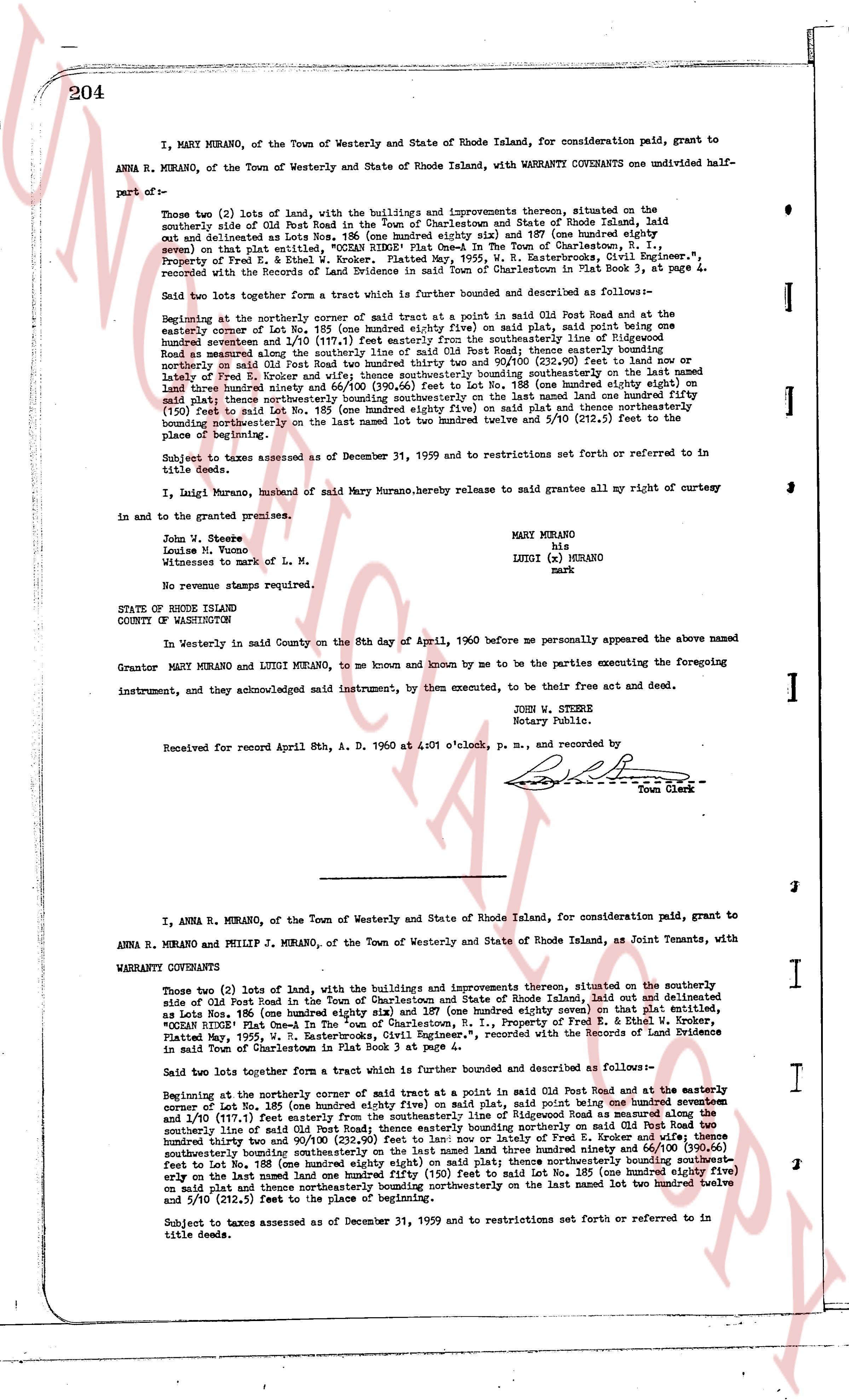
204
I, MARY MURANO, of the Town of Westerly and State of Rhode Island, for consideration paid, grant to ANNA R. MURANO, of the Town of Westerly and State of Rhode Island, with WARRANTY COVENANTS one undivided half part of—
Those two (2) lots of land, with the buildings and improvements thereon, situated on the southerly side of Old Post Road in the Town of Charlestown and State of Rhode Island, laid out and delineated as Lots Nos. 186 (one hundred eighty six) and 187 (one hundred eighty seven) (shown on plat attached), together with all the rights, privileges, appurtenances, and the Title of Conveyance, Property of Fred E. A. Kruker, Platted May, 1955, W. R. Easterbooks, Civil Engineer," recorded with the Records of the Land Evidence in said Town of Charlestown in Plat Book 3, at page 4.
Said two lots together form a tract which is further bounded and described as follows:
Beginning at the northeasterly corner of said tract at a point in said Old Post Road and at the easterly corner of Lot No. 186 (one hundred eighty six) as shown on said plat, said point being one hundred seventeen and 1/100 (117.1) feet easterly from the southeasterly line of Rhode Island Road bounding said tract on the west; thence southerly bounding said tract easterly on said Old Post Road two hundred thirty two and 90/100 (232.90) feet to land of now; or lately of Fred E. Kruker and appurtenances; thence southeasterly on said plat one hundred land three hundred ninety one and 66/100 (391.66) feet to Lot No. 188 (one hundred eighty eight) on said plat; thence northwesterly bounding said tract northwesterly on said plat one hundred twenty five (125) feet to said Lot No. 185 (one hundred eighty five) on said plat and thence northeasterly bounding northwesterly on the last named lot two hundred twelve and 5/10 (212.5) feet to the place of beginning.
Subject to taxes assessed as of December 31, 1959 and to restrictions set forth or referred to in title deeds.
I, Luigi Murano, husband of said Mary Murano, hereby release to said grantees all my right of curtesy in and to the granted premises.
John W. Steere
Louise M. Tomeo
Witnesses to mark of L. M.
No revenue stamps required.
STATE OF RHODE ISLAND
COUNTY OF WASHINGTON
In Westerly in said County on the 8th day of April, 1960 before me personally appeared the above named Grantor MARY MURANO and LUIGI MURANO, to me known and known by me to be the parties executing the foregoing instrument, and they acknowledged said instrument, by them executed, to be their free act and deed.
JOHN W. STEERE
Notary Public.
Received for record April 8th, A. D. 1960 at 4:01 o'clock, p. m., and recorded by
[Signature]
Town Clerk
----
I, ANNA R. MURANO, of the Town of Westerly and State of Rhode Island, for consideration paid, grant to ANNA R. MURANO and PHILIP J. MURANO, of the Town of Westerly and State of Rhode Island, as Joint Tenants, with
WARRANTY COVENANTS
Those two (2) lots of land, with the buildings and improvements thereon, situated on the southerly side of Old Post Road in the Town of Charlestown and State of Rhode Island, laid out and delineated as Lots Nos. 186 (one hundred eighty six) and 187 (one hundred eighty seven) on that plat entitled, "COASTAL ESTATES Plat showing a Portion of the Land now or lately the Property of Fred E. A. Kruker, Platted May, 1955, W. R. Easterbooks, Civil Engineer," recorded with the Records of Land Evidence in said Town of Charlestown in Plat Book 3 at page 4.
Said two lots together form a tract which is further bounded and described as follows:—
Beginning at the northeasterly corner of said tract at a point in said Old Post Road and at the easterly corner of Lot No. 186 (one hundred eighty six) as shown on said plat, said point being one hundred seventeen and 1/100 (117.1) feet easterly from the southeasterly line of Rhode Island Road bounding said tract on the west; thence southerly bounding said tract easterly on said Old Post Road two hundred thirty two and 90/100 (232.90) feet to land of now; or lately of Fred E. Kruker and appurtenances; thence southeasterly on said plat one hundred land three hundred ninety one and 66/100 (391.66) feet to Lot No. 188 (one hundred eighty eight) on said plat; thence northwesterly bounding said tract northwesterly on said plat one hundred twenty five (125) feet to said Lot No. 185 (one hundred eighty five) on said plat and thence northeasterly bounding northwesterly on the last named lot two hundred twelve and 5/10 (212.5) feet to the place of beginning.
Subject to taxes assessed as of December 31, 1959 and to restrictions set forth or referred to in title deeds.
page 2 · read by Gemma vision
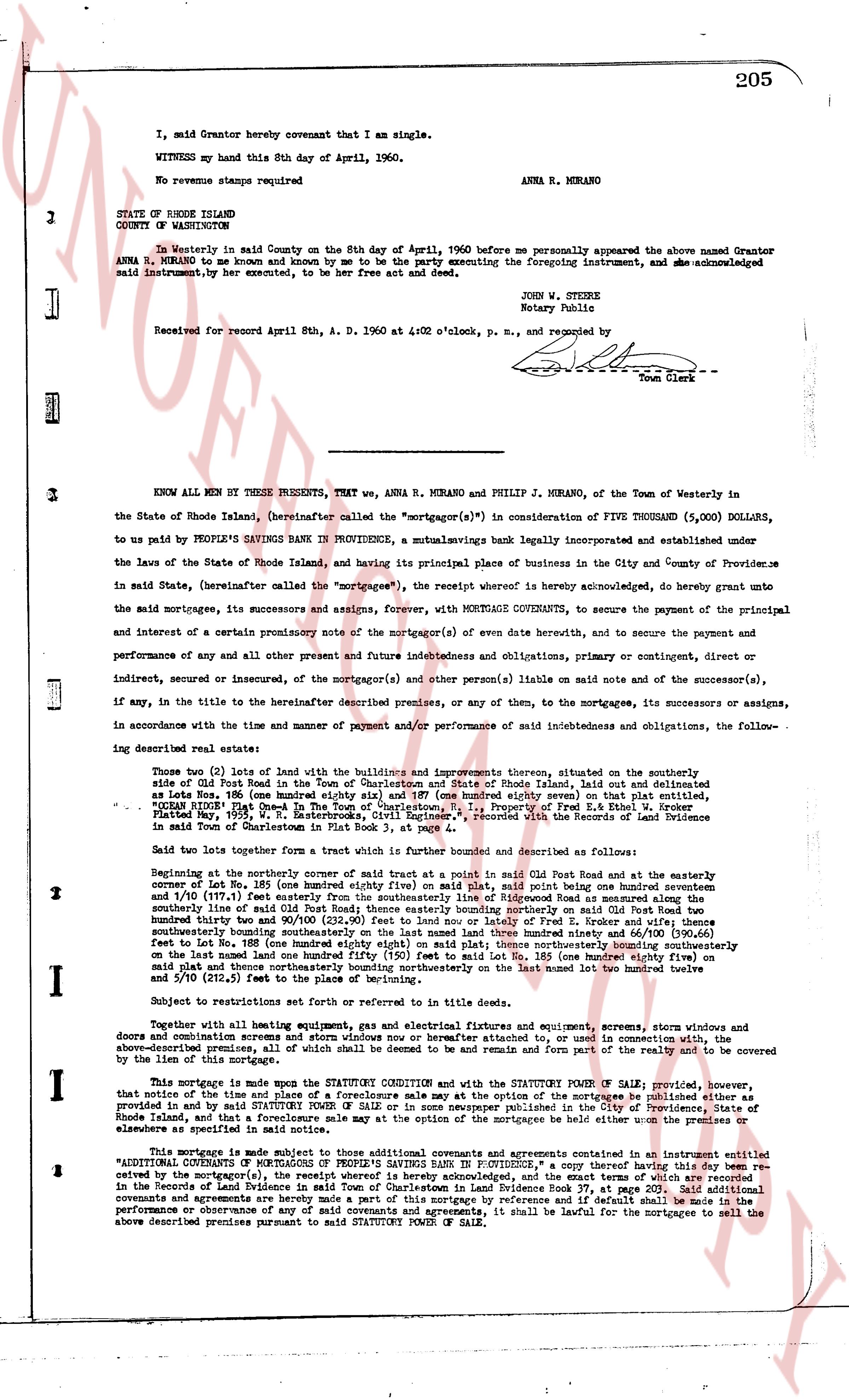
205
I, said Grantor hereby covenant that I am single.
WITNESS my hand this 8th day of April, 1960.
No revenue stamps required ANNA R. MURANO
STATE OF RHODE ISLAND
COUNTY OF WASHINGTON
On Westerly in said County on the 8th day of April, 1960 before me personally appeared the above named Grantor ANNA R. MURANO, to me known and known by me to be the party executing the foregoing instrument, and she acknowledged said instrument, by her executed, to be her free act and deed.
JOHN W. STOKES
Notary Public
Received for record April 8th, A. D. 1960 at 4:02 o'clock, p. m., and recorded by [?]
Town Clerk
----
KNOW ALL MEN BY THESE PRESENTS, THAT we, ANNA R. MURANO and PHILIP J. MURANO, of the Town of Westerly in the State of Rhode Island, (hereinafter called the "mortgagor(s)") in consideration of FIVE THOUSAND (5,000) DOLLARS, to us paid by PEOPLE'S SAVINGS BANK IN PROVIDENCE, a mutual savings bank legally incorporated and established under the Laws of the State of Rhode Island, and having its principal place of business in the City and County of Providence in said State, (hereinafter called the "mortgagee(s)", the receipt whereof is hereby acknowledged, do hereby grant unto the said mortgagees, its successors and assigns, forever, WITH MORTGAGE COVENANTS, to secure the payment of the principal and interest of a certain promissory note of the mortgagor(s) of even date herewith, and to secure the payment and performance of and any all other present and future indebtednesss and obligations, primary or contingent, direct or indirect, secured or unsecured, of the mortgagor(s) and other person(s) liable on said note and to the mortgagees, its successors or assigns, if any, in the title to the hereinafter described premises, or any of them, to the mortgagees, its successors or assigns, in accordance with the time and manner of payment and/or performance of said indebtedness and obligations, the following described real estate:
Two (2) lots of land with the buildings and improvements thereon situated, on the southeasterly side of Old Post Road in the Town of Charlestown and in State of Rhode Island, thus outlined and delineated as follows: Lot No. 184 (one hundred eighty four) (one hundred eighty seven square) on that delineated Plat Map No. 194 of the Town of Charlestown, marked "OCEAN PLACE Plot Deed In The Town of Charlestown, R. I. Property of Fred E. & Ethel W. Broder" as recorded with the Records of Land Evidence in said Town of Charlestown in Plat Book 3, at page 4.
Said two lots together form a tract which is further bounded and described as follows:
Beginning at the northeasterly corner of said tract at a point in said Old Post Road and at the easterly corner of Lot No. 184 (one hundred eighty four) (one hundred eighty seven square) point being at an angle south seventeen and 1/10 (17.1°) east from the southeasterly line said Old Post Road and running thence south seventeen and 1/10 (17.1°) east from the southeasterly line said Old Post Road and running thence south seventeen and 1/10 (17.1°) east from the southeasterly line said Old Post Road and running thence south seventeen and 1/10 (17.1°) east from the southeasterly line said Old Post Road and running thence south seventeen and 1/10 (17.1°) east from the southeasterly line said Old Post Road and running thence south seventeen and 1/10 (17.1°) east from the southeasterly line said Old Post Road and running thence south seventeen and 1/10 (17.1°) east from the southeasterly line said Old Post Road and running thence south seventeen and 1/10 (17.1°) east from the southeasterly line said Old Post Road and running thence south seventeen and 1/10 (17.1°) east from the southeasterly line said Old Post Road and running thence south seventeen and 1/10 (17.1°) east from the southeasterly line said Old Post Road and running thence south seventeen and 1/10 (17.1°) east from the southeasterly line said Old Post Road and running thence south seventeen and 1/10 (17.1°) east from the southeasterly line said Old Post Road and running thence south seventeen and 1/10 (17.1°) east from the southeasterly line said Old Post Road and running thence south seventeen and 1/10 (17.1°) east from the southeasterly line said Old Post Road and running thence south seventeen and 1/10 (17.1°) east from the southeasterly line said Old Post Road and running thence south seventeen and 1/10 (17.1°) east from the southeasterly line said Old Post Road and running thence south seventeen and 1/10 (17.1°) east from the southeasterly line said Old Post Road and running thence south seventeen and 1/10 (17.1°) east from the southeasterly line said Old Post Road and running thence south seventeen and 1/10 (17.1°) east from the southeasterly line said Old Post Road and running thence south seventeen and 1/10 (17.1°) east from the southeasterly line said Old Post Road and running thence south seventeen and 1/10 (17.1°) east from the southeasterly line said Old Post Road and running thence south seventeen and 1/10 (17.1°) east from the southeasterly line said Old Post Road and running thence south seventeen and 1/10 (17.1°) east from the southeasterly line said Old Post Road and running thence south seventeen and 1/10 (17.1°) east from the southeasterly line said Old Post Road and running thence south seventeen and 1/10 (17.1°) east from the southeasterly line said Old Post Road and running thence south seventeen and 1/10 (17.1°) east from the southeasterly line said Old Post Road and running thence south seventeen and 1/10 (17.1°) east from the southeasterly line said Old Post Road and running thence south seventeen and 1/10 (17.1°) east from the southeasterly line said Old Post Road and running thence south seventeen and 1/10 (17.1°) east from the southeasterly line said Old Post Road and running thence south seventeen and 1/10 (17.1°) east from the southeasterly line said Old Post Road and running thence south seventeen and 1/10 (17.1°) east from the southeasterly line said Old Post Road and running thence south seventeen and 1/10 (17.1°) east from the southeasterly line said Old Post Road and running thence south seventeen and 1/10 (17.1°) east from the southeasterly line said Old Post Road and running thence south seventeen and 1/10 (17.1°) east from the southeasterly line said Old Post Road and running thence south seventeen and 1/10 (17.1°) east from the southeasterly line said Old Post Road and running thence south seventeen and 1/10 (17.1°) east from the southeasterly line said Old Post Road and running thence south seventeen and 1/10 (17.1°) east from the southeasterly line said Old Post Road and running thence south seventeen and 1/10 (17.1°) east from the southeasterly line said Old Post Road and running thence south seventeen and 1/10 (17.1°) east from the southeasterly line said Old Post Road and running thence south seventeen and 1/10 (17.1°) east from the southeasterly line said Old Post Road and running thence south seventeen and 1/10 (17.1°) east from the southeasterly line said Old Post Road and running thence south seventeen and 1/10 (17.1°) east from the southeasterly line said Old Post Road and running thence south seventeen and 1/10 (17.1°) east from the southeasterly line said Old Post Road and running thence south seventeen and 1/10 (17.1°) east from the southeasterly line said Old Post Road and running thence south seventeen and 1/10 (17.1°) east from the southeasterly line said Old Post Road and running thence south seventeen and 1/10 (17.1°) east from the southeasterly line said Old Post Road and running thence south seventeen and 1/10 (17.1°) east from the southeasterly line said Old Post Road and running thence south seventeen and 1/10 (17.1°) east from the southeasterly line said Old Post Road and running thence south seventeen and 1/10 (17.1°) east from the southeasterly line said Old Post Road and running thence south seventeen and 1/10 (17.1°) east from the southeasterly line said Old Post Road and running thence south seventeen and 1/10 (17.1°) east from the southeasterly line said Old Post Road and running thence south seventeen and 1/10 (17.1°) east from the southeasterly line said Old Post Road and running thence south seventeen and 1/10 (17.1°) east from the southeasterly line said Old Post Road and running thence south seventeen and 1/10 (17.1°) east from the southeasterly line said Old Post Road and running thence south seventeen and 1/10 (17.1°) east from the southeasterly line said Old Post Road and running thence south seventeen and 1/10 (17.1°) east from the southeasterly line said Old Post Road and running thence south seventeen and 1/10 (17.1°) east from the southeasterly line said Old Post Road and running thence south seventeen and 1/10 (17.1°) east from the southeasterly line said Old Post Road and running thence south seventeen and 1/10 (17.1°) east from the southeasterly line said Old Post Road and running thence south seventeen and 1/10 (17.1°) east from the southeasterly line said Old Post Road and running thence south seventeen and 1/10 (17.1°) east from the southeasterly line said Old Post Road and running thence south seventeen and 1/10 (17.1°) east from the southeasterly line said Old Post Road and running thence south seventeen and 1/10 (17.1°) east from the southeasterly line said Old Post Road and running thence south seventeen and 1/10 (17.1°) east from the southeasterly line said Old Post Road and running thence south seventeen and 1/10 (17.1°) east from the southeasterly line said Old Post Road and running thence south seventeen and 1/10 (17.1°) east from the southeasterly line said Old Post Road and running thence south seventeen and 1/10 (17.1°) east from the southeasterly line said Old Post Road and running thence south seventeen and 1/10 (17.1°) east from the southeasterly line said Old Post Road and running thence south seventeen and 1/10 (17.1°) east from the southeasterly line said Old Post Road and running thence south seventeen and 1/10 (17.1°) east from the southeasterly line said Old Post Road and running thence south seventeen and 1/10 (17.1°) east from the southeasterly line said Old Post Road and running thence south seventeen and 1/10 (17.1°) east from the southeasterly line said Old Post Road and running thence south seventeen and 1/10 (17.1°) east from the southeasterly line said Old Post Road and running thence south seventeen and 1/10 (17.1°) east from the southeasterly line said Old Post Road and running thence south seventeen and 1/10 (17.1°) east from the southeasterly line said Old Post Road and running thence south seventeen and 1/10 (17.1°) east from the southeasterly line said Old Post Road and running thence south seventeen and 1/10 (17.1°) east from the southeasterly line said Old Post Road and running thence south seventeen and 1/10 (17.1°) east from the southeasterly line said Old Post Road and running thence south seventeen and 1/10 (17.1°) east from the southeasterly line said Old Post Road and running thence south seventeen and 1/10 (
The page as recorded