The instrument's own words
page 1 · read by Gemma vision
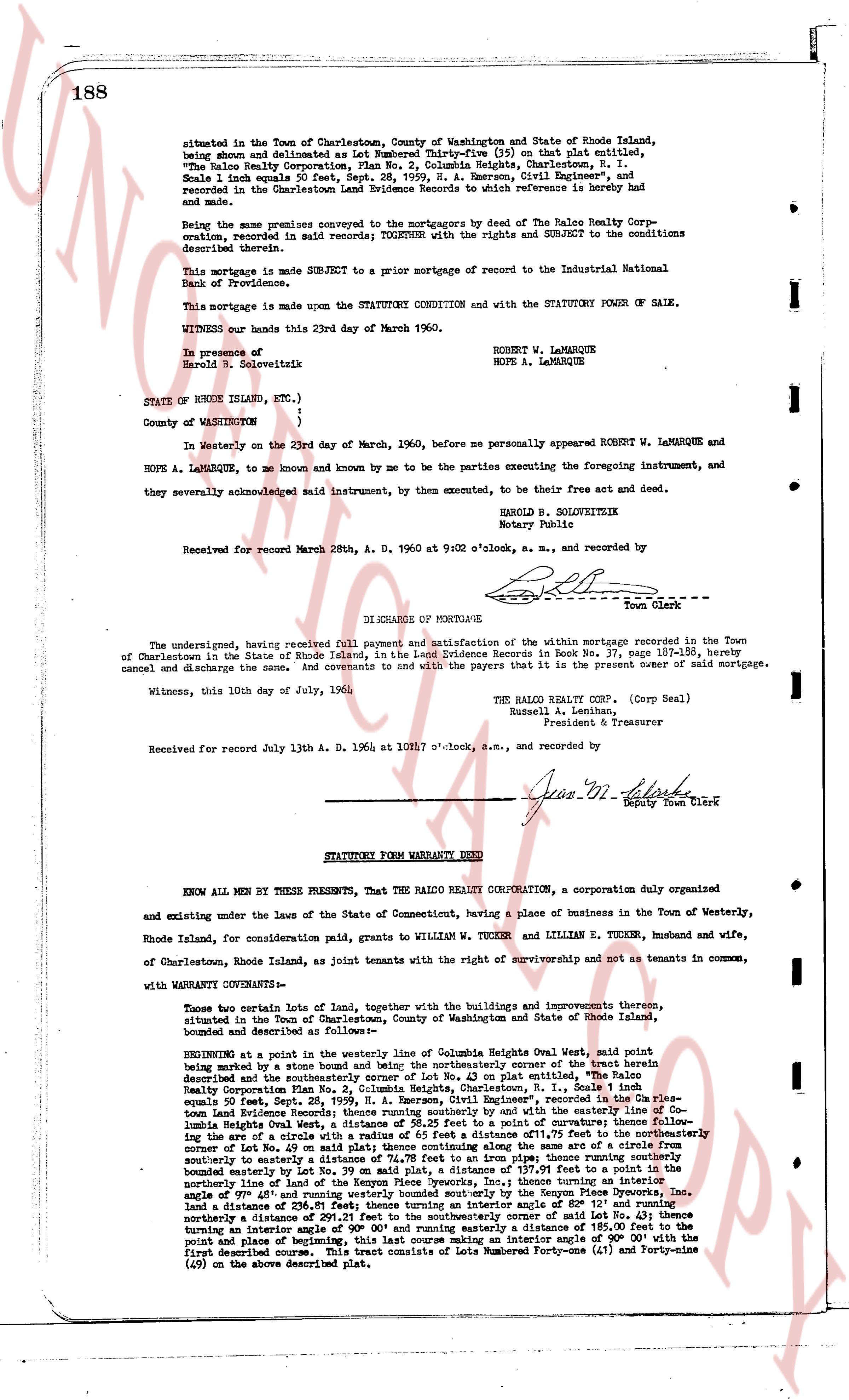
188
situated in the Town of Charlestown, County of Washington and State of Rhode Island, being shown and delineated as Lot Numbered Thirty-five (35) on that plat entitled, "The Ralco Realty Corporation, Plan No. 2, Columbia Heights, Charlestown, R. I. Scale 1 inch to 80 feet" approved July 13, 1936, by A. Emerson, Civil Engineer, and recorded in the Charlestown Land Evidence Records to which reference is hereby made and made part hereof.
Being the same premises conveyed to the mortgagors by deed of The Ralco Realty Corporation, recorded in said records; TOGETHER with the rights and SUBJECT to the conditions described therein.
This mortgage is made SUBJECT to a prior mortgage of record to the Industrial National Bank of Providence.
This mortgage is made upon the STATUTORY CONDITION and with the STATUTORY POWER OF SALE.
WITNESS our hands this 23rd day of March 1960.
In presence of
Harold B. Soloveitkin
ROBERT W. LAMARQUE
HOPE A. LAMARQUE
STATE OF RHODE ISLAND, ETC.,)
County of Washington )
In Westerly on the 23rd day of March, 1960, before me personally appeared ROBERT W. LAMARQUE and HOPE A. LAMARQUE, to me known and known by me to be the parties executing the foregoing instrument, and they severally acknowledged said instrument, by them executed, to be their free act and deed.
HAROLD B. SOLOVEITKIN
Notary Public
Received for record March 28th, A. D. 1960 at 9:02 o'clock, a. m., and recorded by
[Signature] Town Clerk
----
DISCHARGE OF MORTGAGE
The undersigned, having received full payment and satisfaction of the within mortgage recorded in the Town of Charlestown in the State of Rhode Island, in the Land Evidence Records in Book No. 37, page 188, hereby cancel and discharge the same and covenants to and with the payees that it is the present noter of said mortgage.
Witness, this 10th day of July, 1964
THE RALCO REALTY CORP. (Corp Seal)
Russell L. Lathrop
President & Treasurer
Received for record July 13th A. D. 1964 at 10:17 o'clock, a.m., and recorded by
[Signature] Deputy Town Clerk
----
STATUTORY FORM WARRANTY DEED
KNOW ALL MEN BY THESE PRESENTS, That THE RALCO REALTY CORPORATION, a corporation duly organized and existing under the laws of the State of Connecticut, having a place of business in the Town of Westerly, Rhode Island, for consideration (paid) grants to WILLIAM W. TUCKER and LILLIAN E. TUCKER, husband and wife, of Charlestown, Rhode Island, as joint tenants with the rights of survivorship and not as tenants in common, with WARRANTY COVENANTS That:
Two parcels of land of lots, together with the buildings and improvements thereon situated, situated in the Town of Charlestown, County of Washington and State of Rhode Island, bounded and described as follows:
BEGINNING at a point in the westerly line of Columbia Heights Oval West, said point being marked by a stone bound mark and also the northeasterly corner of the tract herein described and the southeasterly corner of Lot No. 43 on plat entitled, "The Ralco Realty Corporation Plan No. 2, Columbia Heights, Charlestown, R. I." said plat being recorded Sept. 28, 1936, by A. Emerson, Civil Engineer, recorded in the Plan Evidence Records of the Town of Charlestown, R. I. in Volume 1, page 1; thence running south along the westerly line of Columbia Heights Oval West, a distance of 38.25 feet to a point of curvature; thence following an arc to the right with a radius of 100.00 feet and a chord of 107.75 feet to the southeasterly corner of Lot No. 49 on said plat thence continuing along the same arc to a circle from southerly to easterly a distance of 74.78 feet; thence running easterly along the southerly boundary marked by an iron pin, a distance of 137.91 feet to a point on the northerly line of land of the Kenyon Pipe Fireworks, Inc.; thence turning an interior angle of 49° 00' and running southeasterly a distance of 111.31 feet to the Kenyon Pipe Fireworks, Inc. line and a distance of 256.81 feet; thence turning an interior angle of 82° 12' and running northerly a distance of 111.31 feet to the northeasterly corner of said Lot No. 43; thence turning an interior angle of 90° 00' and running easterly a distance of 185.00 feet to the point on plat line of beginning; thence turning an interior angle of 90° 00' and running northerly to the first described corner. This tract consists of Lots Numbered Forty-one (41) and Forty-nine (49) on the above described plat. Text
The page as recorded