The instrument's own words
page 1 · read by Gemma vision
329
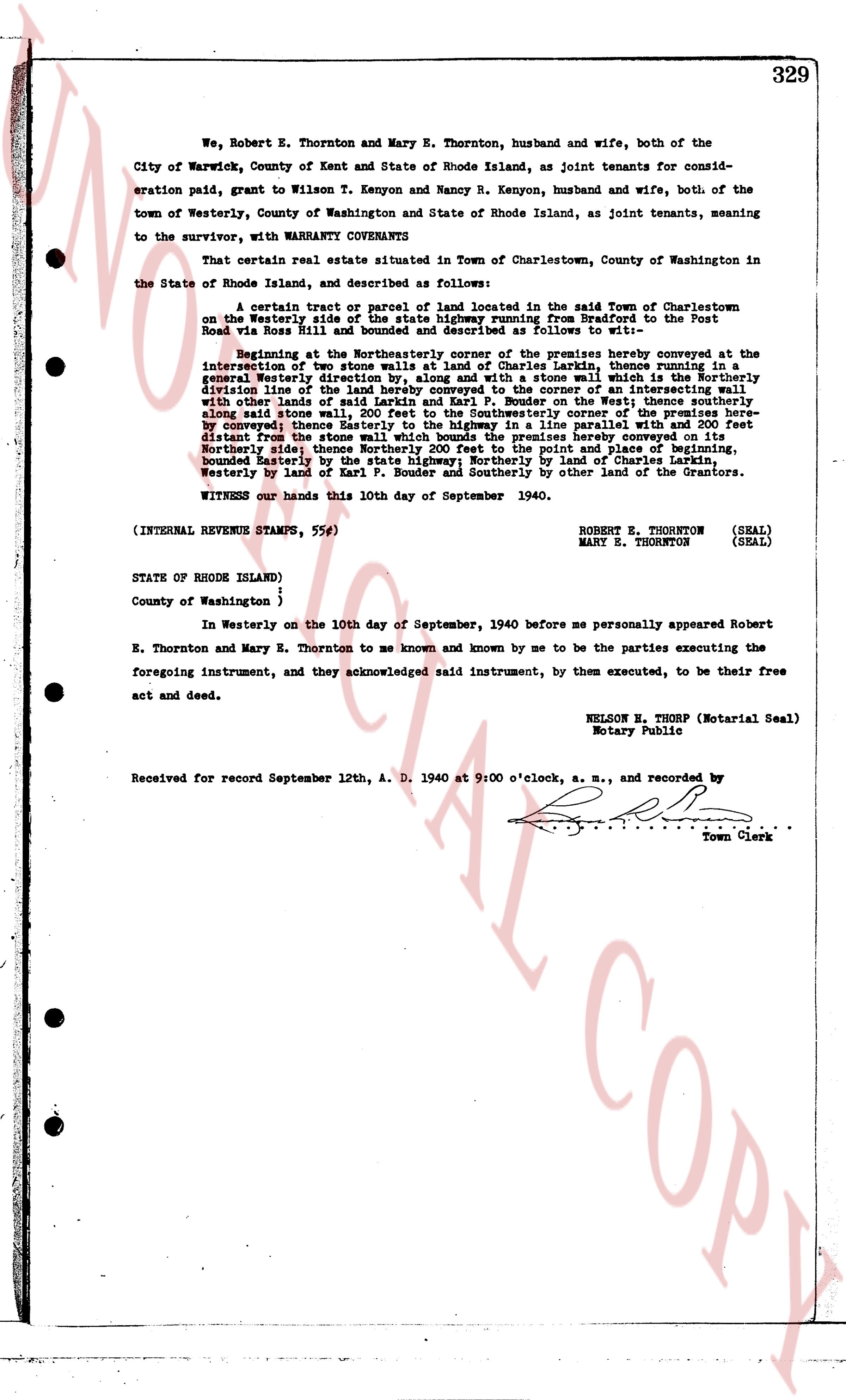
We, Robert E. Thornton and Mary E. Thornton, husband and wife, both of the City of Warwick, County of Kent and State of Rhode Island, as joint tenants for consideration paid, grant to Wilson T. Kenyon and Nancy R. Kenyon, husband and wife, both of the town of Westerly, County of Washington and State of Rhode Island, as joint tenants, meaning to the survivor, with WARRANTY COVENANTS
That certain real estate situated in Town of Charlestown, County of Washington in the State of Rhode Island, and described as follows:
A certain tract or parcel of land located in the said Town of Charlestown on the Westerly side of the Providence highway, from the Post Road to the Post Road via Ross Hill and bounded and described as follows to wit:—
Beginning at the Northeasterly corner of the premises hereby conveyed at the intersection of two stone walls, land of Charles Larkins, thence running in a south easterly direction along said stone wall, along the boundary of the premises hereby conveyed division line of the land hereby conveyed to the corner of an intersecting wall with other land of Charles Larkins, thence running South along the West line of the premises hereby along said stone wall, 200 feet to the Southwestern corner of the premises here by conveyed; thence Easterly to the highway in a line parallel with and 200 feet distant from the stone wall forming the West line of the premises hereby conveyed; thence Northerly side; thence Northerly 200 feet to the point and place of beginning, bounded Easterly by the highway, Northerly by land of George Larkins, South Westerly by land of Karl P. Bouder and Southerly by other land of the Grantors.
WITNESS our hands this 10th day of September 1940.
(INTERNAL REVENUE STAMPS, 55¢)
ROBERT E. THORNTON (SEAL)
MARY E. THORNTON (SEAL)
STATE OF RHODE ISLAND)
County of Washington }
In Westerly on the 10th day of September, 1940 before me personally appeared Robert E. Thornton and Mary E. Thornton to me known and known by me to be the parties executing the foregoing instrument, and they acknowledged said instrument, by them executed, to be their free act and deed.
NELSON E. THORP (Notarial Seal)
Notary Public
Received for record September 12th, A. D. 1940 at 9:00 o'clock, a. m., and recorded by [?]
Town Clerk
The page as recorded