The instrument's own words
page 1 · read by Gemma vision
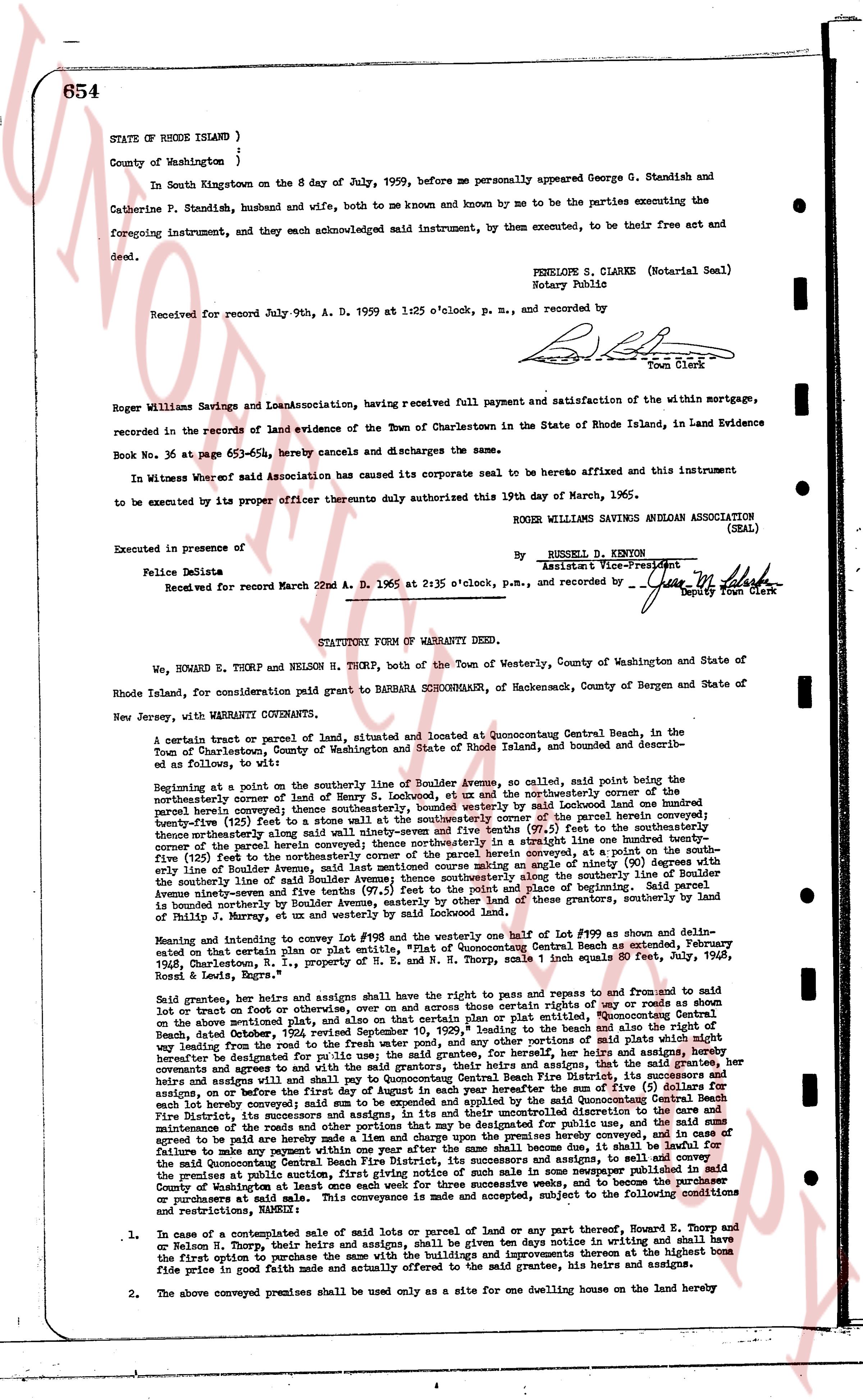
654
STATE OF RHODE ISLAND )
County of Washington )
In South Kingstown on the 8 day of July, 1959, before me personally appeared George G. Standish and Catherine P. Standish, husband and wife, both to me known and by me known and by me to be the parties executing the foregoing instrument, and they each acknowledged said instrument, by them executed, to be their free act and deed.
PENELOPE S. CLARKE (Notarial Seal)
Notary Public
Received for record July 9th, A. D. 1959 at 1:25 o'clock, p. m., and recorded by
[Signature]
Town Clerk
Roger Williams Savings and Loan Association, having received full payment and satisfaction of the within mortgage, recorded in the records of land evidence of the Town of Charlestown in the State of Rhode Island, in Land Evidence Book No. 36 at page 653-654, hereby cancels and discharges the same.
In Witness whereof said Association has caused its corporate seal to be borne hereunto affixed and this instrument to be executed by its proper officer thereunto duly authorized this 19th day of March, 1965.
ROGER WILLIAMS SAVINGS AND LOAN ASSOCIATION (SEAL)
Executed in presence of
[Signature] RUSSELL D. VENTON
Felice Delisle Assistant Vice-President
Received for record March 22nd A. D. 1965 at 2:35 o'clock, p.m., and recorded by [Signature]
Deputy Town Clerk
----
STATUTORY FORM OF WARRANTY DEED.
We, HOWARD E. THORP, and NELSON H. THORP, both of the Town of Westerly, County of Washington and State of Rhode Island, for consideration paid grant to BARBARA SCHOENMACHER, of Newcomer, County of Bergen and State of New Jersey, with WARRANTY CONVEYANTS,
A certain tract or parcel of land, situated and located at Quonsetcong Beach, Charlestown, in the Town of Charlestown, County of Washington and State of Rhode Island, bounded and described as follows, to wit:
Beginning at a point on the southerly line of Boulder avenue, as shown, called said point being the northeasterly corner of land of Henry S. Lockwood, ex ut and the northeasterly corner of the described parcel hereby conveyed; thence southeasterly, bounded westerly by said Lockwood land and the southerly boundary line (five feet) as shown on the map attached hereto as Exhibit "A" of the parcel herein conveyed; thence northeasterly along said boundary ninety-seven and some five tenths (97.5) feet to the southeasterly corner of the parcel herein conveyed; thence northerly, bounded easterly by a straight line one hundred ninety-five (195) feet (five feet) to the northeasterly corner of the parcel herein conveyed, at a point on the southerly line of Boulder avenue; thence northwesterly along the southerly line of Boulder avenue ninety-seven and some five tenths (97.5) feet along the southerly line of Boulder avenue seventy-nine and seven tenths (79.7) feet to the northwesterly corner of the parcel herein conveyed; thence southwesterly, bounded westerly by other land of these grantors, bounded by land of Henry S. Lockwood, ex ut and westerly by more land of said Lockwood.
Meaning and intending to convey lot #198 and a portion of the land of lot #199 as shown and delimited on the map attached hereto as Exhibit "A" entitled "Plot of Quonsetcong Beach as extended, February 1928, Charlestown, R. I., property of E. N. H. Thorp, scale 1 inch equals 50 feet, July 1948, signed E. Leeds, Thorp".
Said grantee, her heirs and assigns shall have the right to pass and repairs and free to and from said lot or tract on foot or otherwise, over and across those certain rights of way or roads as shown on the map above mentioned that lead from the public highway to the said parcel, Quonsetcong Beach, dated October 2, 1954, revised September 10, 1959, leading to the beach and all the right and way of the grantors, their heirs and assigns to use and enjoy those portions of said roads and rights-of-way designated for public use, the said grantee, her heirs and assigns, and hereby covenants and agrees to sell and pay to Quonsetcong Beach Fire District, its successors and assigns, and to the heirs and assigns of the grantee, the annual sum of one dollar ($1.00) for each lot hereby conveyed; said sum to be paid and expended by the said Quonsetcong Beach Central Fire District, its successors and assigns, and to the heirs and assigns of the grantee, for the road and maintenance of the roads and rights-of-way that may be designated for public use, and in the event of failure to make any payment hereon a lien and charge upon the premises hereby conveyed shall attach and as soon as said sum shall become due, it shall be lawful for the said Quonsetcong Beach Central Fire District, its successors and assigns, to sell the premises at public vendue after giving notice of the same by inserting one or more notices published in said County of Washington at least once each week for three successive weeks, and to be purchased at public vendue at said sale. This conveyance is subject to the following covenants and restrictions, namely:
1. In case of a contemplated sale of the said lot or parcel of land or any part thereof, Howard E. Thorp and or Nelson H. Thorp, their heirs and assigns, shall be given ten days notice in writing and shall have the first option to purchase the same with the buildings and improvements thereon at the highest bone fide price in good faith made and actually offered to the said grantee, his heirs and assigns.
2. The above conveyed premises shall be used only as a site for one dwelling house on the land hereby
The page as recorded