The instrument's own words
page 1 · read by Gemma vision
688
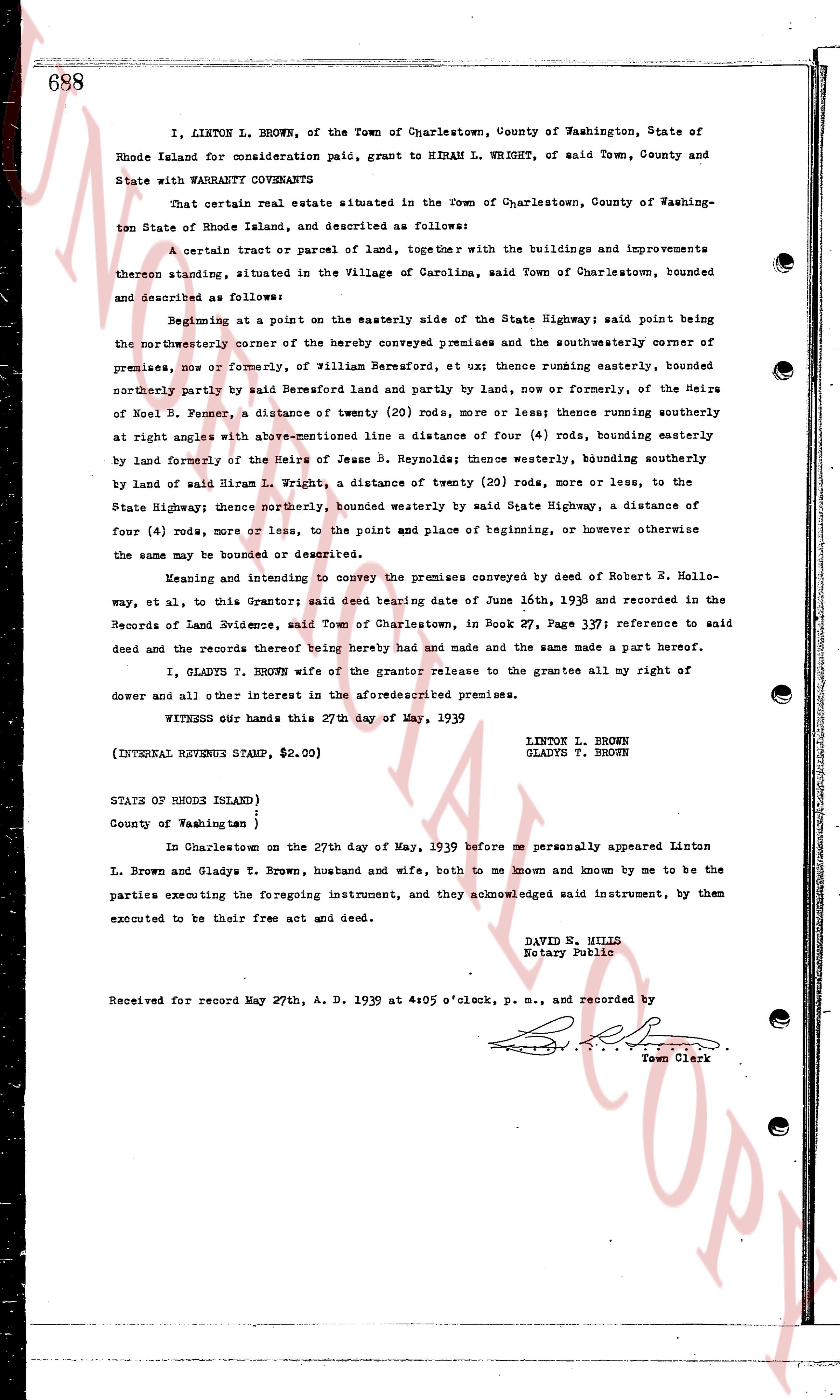
I, LINTON L. BROWN, of the Town of Charlestown, County of Washington, State of Rhode Island for consideration paid, grant to HIRAM L. WRIGHT, of said Town, County and State with WARRANTY COVENANTS
That certain real estate situated in the Town of Charlestown, County of Washington State of Rhode Island, and described as follows:
A certain tract or parcel of land, together with the buildings and improvements thereon standing, situated in the Village of Carolina, said Town of Charlestown, bounded and described as follows:
Beginning at a point on the easterly side of the State Highway; said point being the northeasterly corner of the hereby conveyed premises and the southwesterly corner of premises, now or formerly, of William Bernsford, et ux; thence running easterly, bounded northerly partly by said Bernsford land and partly by land, now or formerly, of the Heirs of Noel B. Pease, a distance of twenty (20) rods, more or less; thence running southerly at right angles with above-mentioned line a distance of four (4) rods, bounding easterly by land formerly of the Heirs of Jesse B. Reynolds; thence westerly, bounding easterly by land of said Hiram L. Wright, a distance of twenty (20) rods, more or less, to the State Highway; thence northerly, bounded westerly by said State Highway, a distance of four (4) rods, more or less, to the point and place of beginning, or however otherwise the same may be bounded or described.
Meaning and intending to convey the premises conveyed by deed of Robert R. Hollo-way, et al, to this Grantor; said deed being dated June 16th, 1939 and recorded in the Records of Land Evidence, said Town of Charlestown, in Book 27, Page 371; reference to said deed and the records thereof being hereby had and made and the same made a part Hereof.
I, GLADYS T. BROWN wife of the grantor release to the grantees all my right of dower and all other interest in the aforesaid described premises.
WITNESS our hands this 27th day of May, 1939
LINTON L. BROWN
GLADYS T. BROWN
(INTERNAL REVENUE STAMP, $2.00)
STATE OF RHODE ISLAND)
County of Washington )
In Charlestown on the 27th day of May, 1939 before me personally appeared Linton L. Brown and Gladys T. Brown, husband and wife, both to me known and known by me to be the parties executing the foregoing instrument, and they acknowledged said instrument, by them executed to be their free act and deed.
DAVID B. MILLS
Notary Public
Received for record May 27th, A. D. 1939 at 4:05 o'clock, p. m., and recorded by
[Signature]
Town Clerk
The page as recorded