The instrument's own words
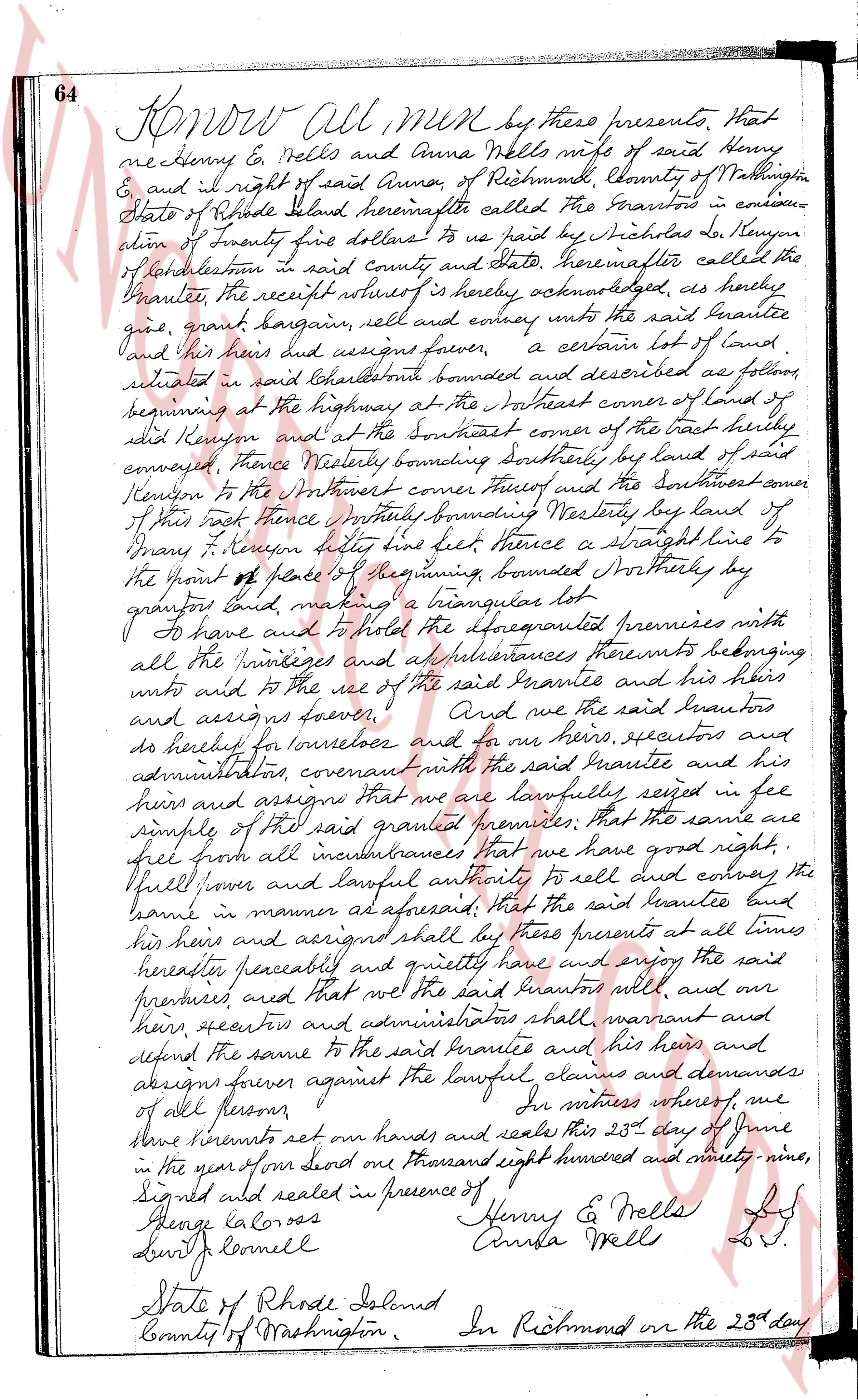
page 1
64 Know all MEN by these presents, That
we Henry E. Wells and Anna Wells wife of said Henry
& we right of said Anna, of Richmond, County of Washington
State of Rhode Island hereinafter called the Grantors in consider-
ation of Twenty five dollars to us paid by Nicholas S. Kenyon
of Charlestown in said county and state hereinafter called the
Grantee, the receipt whereof is hereby acknowledged, as hereby
give, grant bargain, sell and convey unto the said Grantee
and his heirs and assigns forever, a certain lot of land,
situated in said Charlestown bounded and described as follows,
beginning at the highway at the Southeast corner of land of
said Kenyon and at the Southeast corner of the tract hereby
conveyed, Thence Westerly bounding southerly by land of
Kenyon to the Northwest corner thereof and the Southeast corner
of this tract thence northerly bounding Westerly by land of
James T. Kenyon better known as Lee feet thence a straight line to
the point of place of beginning, bounded Northerly by
granite land, making a triangular lot.
To have and to hold the forementioned premises with
all the privileges and appurtenances thereto belonging
unto and to the use of the said Grantee and his heirs
and assigns forever. And we the said Grantors
do hereby for ourselves and for our heirs, executors and
administrators covenant with the said Grantee and his
heirs and assigns that we have lawfully seised in fee
simple of the said granted premises; that the same are
free from all incumbrances that we have good right,
full power and lawful authority to sell and convey the
same in manner as aforesaid, that the said Grantee and
his heirs and assigns shall by these presents at all times
hereafter peaceably and quietly have and enjoy the said
premises and that we the said Grantors will, and our
heirs, executors and administrators shall warrant and
defend the same to the said Grantee and his heirs and
assigns forever against the lawful claims and demands
of all persons forever.
In witness whereof, we
have hereunto set our hands and seals this 23d day of June
in the year of our lord one thousand eight hundred and ninety nine,
Signed and sealed in presence of
George Colorez Henry E. Wells L.S.
Lewis Cornell Anna Wells L.S.
State of Rhode Island
County of Washington. In Richmond on the 23d day
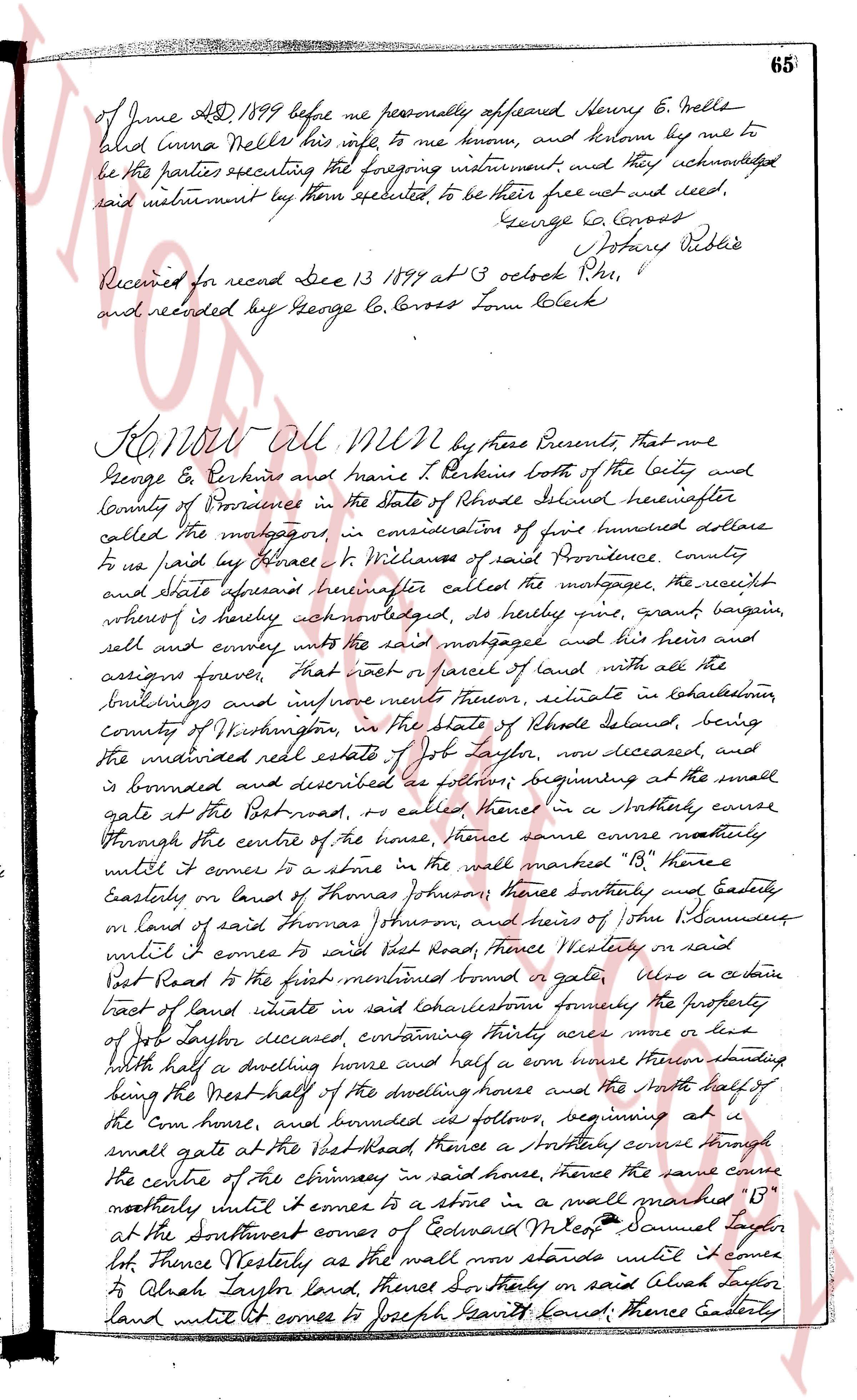
page 2
of June AD 1899 before me personally appeared Henry E. Wells
and Emma Wells his wife me to me known, and known me to
be the parties executing the foregoing instrument and they acknowledged
said instrument by them executed, to be their free act and deed,
George C. Cross Notary Public
Received for record Dec 13 1899 at 3 oclock P.M.
and recorded by George C. Cross Town Clerk
KNOW All MEN by these Presents that we
George E. Perkins and Marie T. Perkins both of the city and
county of Providence in the state of Rhode Island hereinafter
called the mortgagors, in consideration of five hundred dollars
to us paid by Horace H. Wickliffe of said Providence county
and state aforesaid hereinafter called the mortgagee, the receipt
whereof is hereby acknowledged, do hereby give, grant bargain,
sell and convey unto the said mortgagee and his heirs and
assigns forever, that root or parcel of land with all the
buildings and improvements thereon, situate in Charlestown
county of Washington, in the state of Rhode Island belonging, being
the mortgaged real estate of Jos. Taylor, now deceased, and
is bounded and described as follows, beginning at the small
gate at the Pot road, now called Henes in a Northerly curve
through the centre of the house, thence the same curve northerly
until it comes to a stone in the wall marked "B" thence
Easterly on land of Thomas Johnson, thence Southerly and Easterly
on land of said Thomas Johnson, and heirs of John J. Saunders
until it comes to said Pot Road, thence Westerly on said
Pot Road to the first mentioned bound or gate. Also a certain
tract of land situate in said Charlestown formerly the property
of Jos. Taylor deceased containing thirty acres more or less
with half a dwelling house and half a corn house therefore starting
being the West half of the dwelling house and the North half of
the corn house, and bounded as follows, beginning at a
small gate at the Pot Road, thence a Northerly curve through
the centre of the chimney in said house, thence the same curve
northerly until it comes to a stone in a wall marked "B"
at the Southwest corner of Cedarwood Miles Samuel Taylor
lot thence Westerly as the wall now stands until it comes
to Alish Taylor land, thence Southerly on said Alish Taylor
land until it comes to Joseph Smith land, thence Easterly
The page as recorded