The instrument's own words
page 1 · read by Gemma vision
324
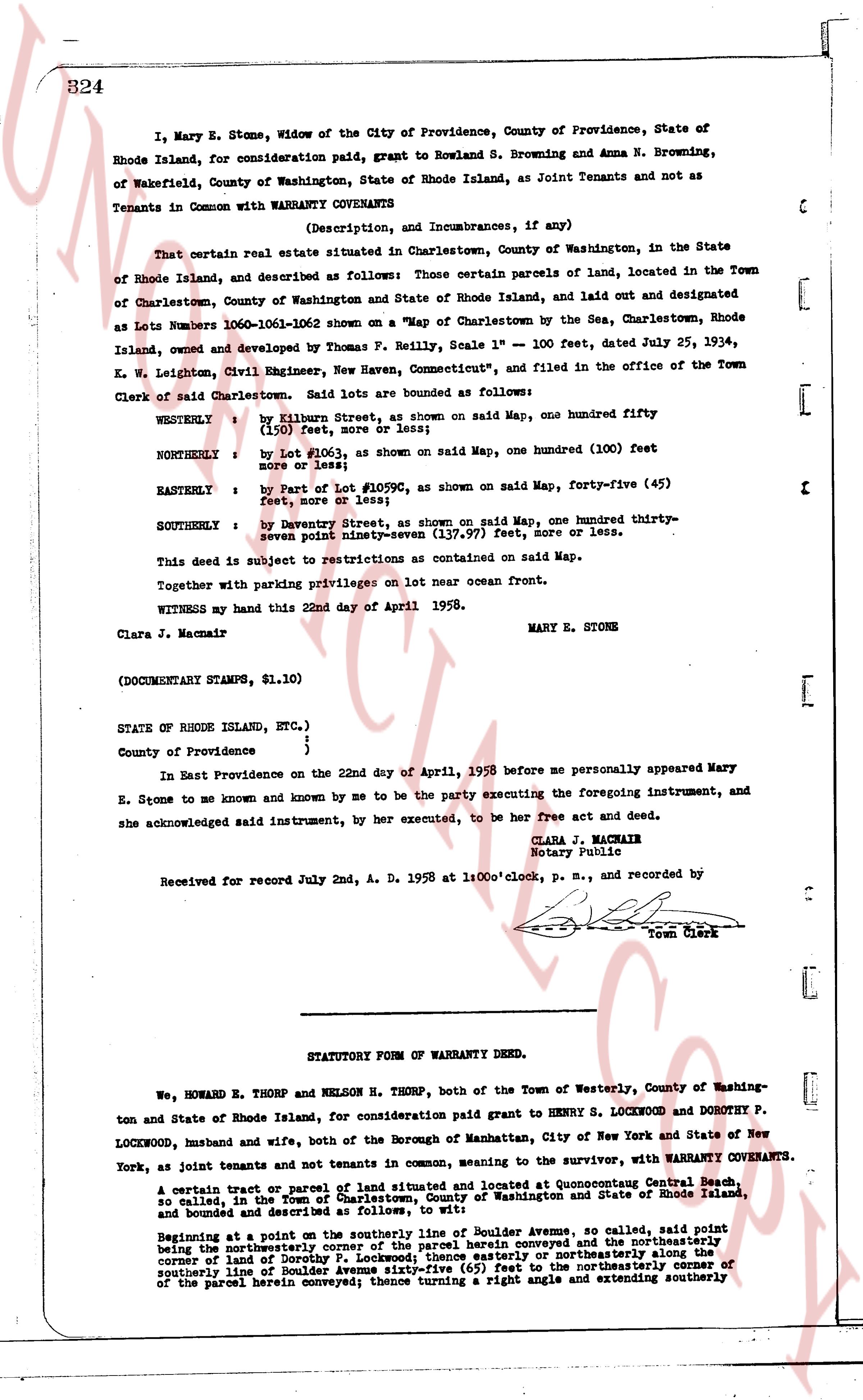
I, Mary E. Stone, Widow of the City of Providence, County of Providence, State of Rhode Island, for consideration paid, grant to Rowland S. Browning and Anna N. Browning, of Wakefield, County of Washington, State of Rhode Island, as Joint Tenants and not as Tenants in Common with WARRANTY COVENANTS
(Description, and Incumbrances, if any)
That certain real estate situated in Charlestown, County of Washington, in the State of Rhode Island, and described as follows: Those certain parcels of land, located in the Town of Charlestown, County of Washington and State of Rhode Island, laid out and designated as Lots Numbers 1060-1061-1062 shown on a "Map of Charlestown by the Sea, Charlestown, Rhode Island, owned and developed by Thomas P. Reilly, Scale 1" = 100 feet, dated July 25, 1934, C. W. Leighton, Civil Engineer, New Haven, Connecticut," and filed in the office of the Town Clerk of Charlestown. Said lots are bounded as follows:
WESTERLY : by Killourn Street, as shown on said Map, one hundred fifty (150) feet, more or less;
NORTHERLY : by Lot #1063, as shown on said Map, one hundred (100) feet more or less;
EASTERLY : by Part of Lot #1059c, as shown on said Map, forty-five (45) feet, more or less;
SOUTHERLY : by Davenport Street, as shown on said Map, one hundred thirty-seven point ninety-seven (137.97) feet, more or less.
This deed is subject to restrictions as contained on said Map.
Together with parking privileges on lot near ocean Front.
WITNESS my hand this 22nd day of April 1958.
Clara J. Macmain MARY E. STONE
(DOCUMENTARY STAMPS, $1.10)
STATE OF RHODE ISLAND, ETC.)
)
County of Providence )
In East Providence on the 22nd day of April, 1958 before me personally appeared Mary E. Stone to me known and known by me to be the Party executing the foregoing instrument, and she acknowledged said instrument, by her execution, to be her free act and deed.
CLARA J. MACMAINE
Notary Public
Received for record July 2nd, A. D. 1958 at 1:00 o'clock, p. m., and recorded by [?]
Town Clerk
----
STATUTORY FORM OF WARRANTY DEED.
We, HOWARD E. THORP and NELSON B. THORP, both of the Town of Westerly, County of Washington and State of Rhode Island, for consideration paid grant to HENRY S. LOCKWOOD and DOROTHY P. LOCKWOOD, husband and wife, both of the Borough of Manhattan, City of New York and State of New York, as joint tenants and not tenants in common, wanting to the survivor, with WARRANTY COVENANTS.
A certain tract or parcel of land situated and located at Quonocutong Central Beach, so called, in the Town of Charlestown, County of Washington and State of Rhode Island, and bounded and described as follows, to wit:
Beginning at a point on the southerly line of Boulder Avenue as outlined, said point being the northeasterly corner of the parcel herein conveyed and the northeasterly corner of the land of Henry S. Lockwood; thence easterly or northerly along the southerly line of Boulder Avenue sixty-five (65) feet to the northeasterly corner of the parcel herein conveyed; thence turning a right angle and extending southerly
The page as recorded