The instrument's own words
page 1
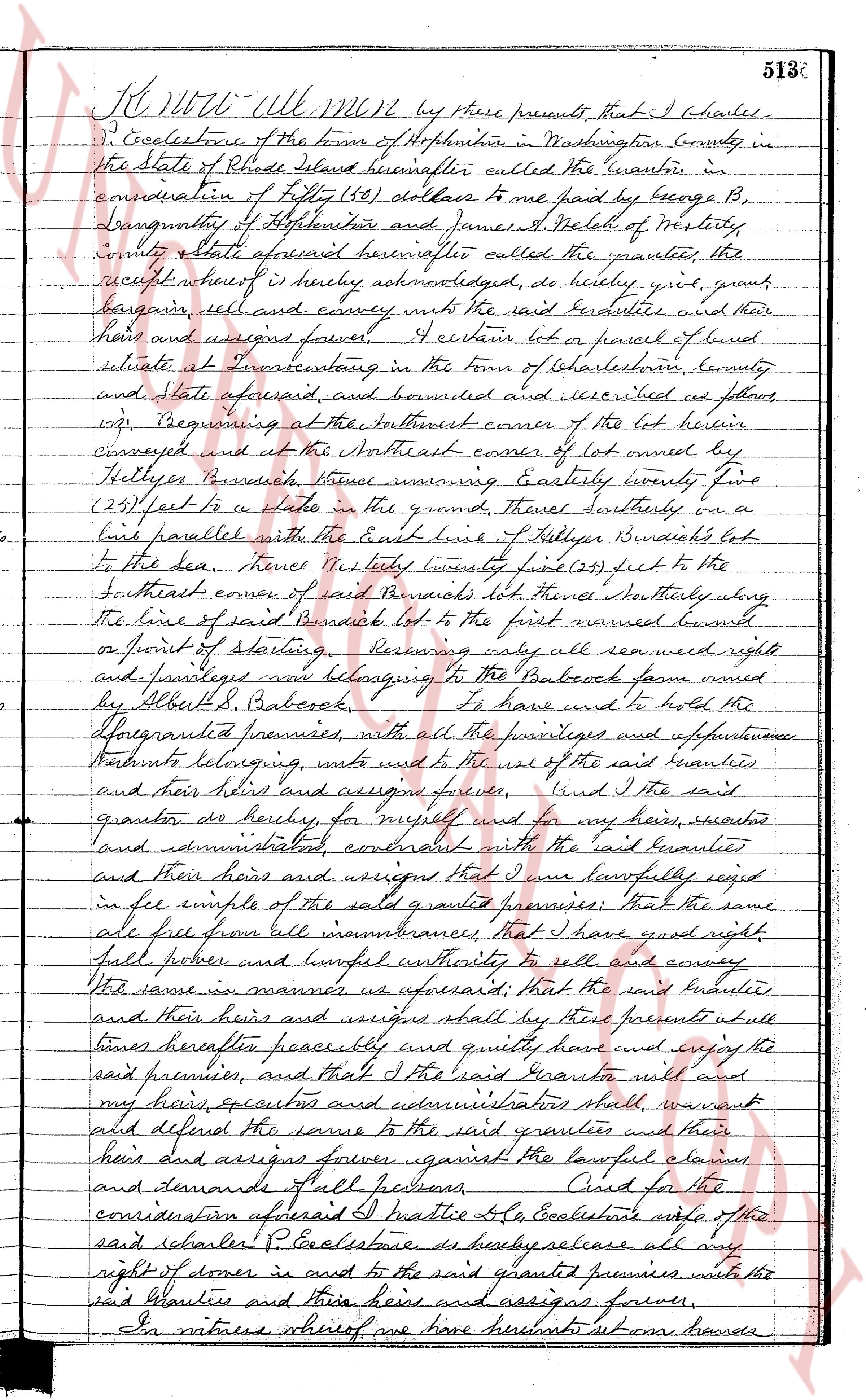
513
K, No 4 - All. Mgt Mgt by these presents that I Charles
P. Ecclesloe of the town of Hopkinton in Washington County in
the State of Rhode Island hereinafter called the Grantor in
consideration of fifty (50) dollars to me paid by George B,
lengthsmith of Hopkinton and James A. Welch of Westerly
County State aforesaid hereinafter called the grantee, the
receipt whereof is hereby acknowledged, do hereby sell, grant
bargain, sell and convey with the said grantees and their
heirs and a successors forever, Certain lot or parcel of land
situate in Providence in the town of Charlestown, county
and State aforesaid and bounded and described as follows
viz: Beginning at the northeast corner of the lot being
conveyed and at the northeast corner of lot owned by
Hollister Pundick, thence running Easterly forty two
(42) feet to a stake in the ground, thence southerly on a
line parallel with the East line of Hollister Pundick's lot
to the sea, thence East forty twenty five (25) feet to the
Southeast corner of said Pundick's lot thence Northerly along
the line of said Pundick lot to the first named corner
or point of starting, reserving only all easement rights
and privileges now belonging to the Babcock farm owned
by Elizth S. Babcock, to have and to hold the
aforegranted premises, with all the privileges and appurtenances
thereto belonging, unto the use of the said grantees
and their heirs and assigns forever. And I the said
grantor do hereby, for myself and for my heirs, executors
and administrators, covenant with the said grantees
and their heirs and assigns that I was lawfully seized
in fee simple of the said granted premises; that the same
are free from all encumbrances, that I have good right,
full power and lawful authority to sell and convey
the same in manner as aforesaid; that the said grantees
and their heirs and assigns shall have their presents at all
times hereafter peaceably and quietly have and enjoy the
said premises, and that I the said Grantor will and
my heirs, executors and administrators shall warrant
and defend the same to the said grantees and their
heirs and assigns forever against the lawful claims
and demands of all persons. And for the
consideration aforesaid I Beatrice B. Ecclesloe wife of the
said charles P. Ecclesloe do hereby release all my
right of dower in and to the said granted premises unto the
said Grantees and their heirs and assigns forever.
In witness whereof we have hereunto set our hands
page 2
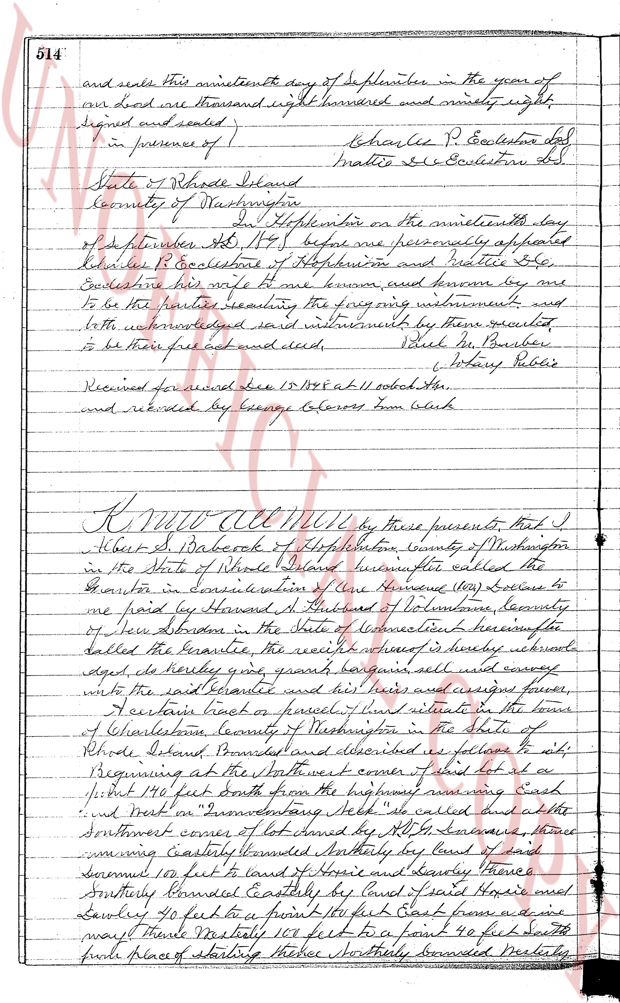
514
and seals This nineteenth day of September in the year of
our Lord one thousand eight hundred and ninety eight
Signed and sealed:
Charles P. Ecclesone hd
Mattie De Ecclesone Ld.
in presence of )
Phil. M. Barber
Notary Public
State of Rhode Island
County of Washington
In Hopkinton on the nineteenth day
of September AD 1898 before me personally appeared
Charles P. Ecclesone of Hopkinton and Mattie De
Ecclesone his wife to me known and known by me
to be the parties sealing the following instrument and
both acknowledged said instrument by them executed
to be their free act and deed.
Phil. M. Barber
Notary Public
Received for record Dec 15 1898 at 11 oclock A.M.
and recorded by George Coleross from Clerk
KNOW ALL MEN by these presents, that I
Albert S. Dabock of Hopkinton County of Washington
in the State of Rhode Island hereinafter called the
Grantor in Consideration of One Hundred (100) Dollars to
be paid by Howard A. Hubbard of Voluntown County
of New London in the State of Connecticut hereinafter
called the Grantee the receipt whereof is hereby acknowledged, do hereby give grant bargain sell and convey
unto the said Grantee and his heirs and assigns forever,
A certain tract of land situated in the town
of Charlestown County of Washington in the State
of Rhode Island bounded and described as follows to wit:
Beginning at the Northwest corner of said lot at a
stone 190 feet South from the highway running East
and went on "Foundenstone Heap" called and at the
Southwest corner of lot owned by H. G. Solvaux thence
thence running Easterly bounded Northly by land of said
Solvaux 100 feet to land of Horie and Dowley thence
Southerly bounded Easterly by land of said Horie and
Dowley 40 feet to a point 100 feet East from a stone
marked "the Northly 100 feet to a point 90 feet South
from place of starting thence Northerly bounded Westerly
page 3
806
gages, its successors and assigns.
5. That the mortgagees, its successors and assigns, may pay any such taxes, assessments,
water rates or insurance premiums not paid by the mortgagor(s) when due; that all
amounts advanced by the mortgagor's successors and assigns, for the payment of
the same or for the expense of repairs shall be repaid upon demand and until repaid shall
be added to the unpaid principal of the indebtedness hereby secured and shall bear
interest at the same rate as the principal sum, and together with such interest,
shall be a further lien upon the premises and secured by these presents.
IN WITNESS WHEREOF, I have hereunto set my hand(s) and seal(s) this 12th day of June,
A. D. one thousand nine hundred and fifty-eight (1958).
MADELEINE G. BEAUDET (SEAL)
Signed, Sealed and Delivered)
in presence of
G. M. Leach
STATE OF RHODE ISLAND,)
) ss:
COUNTY OF PROVIDENCE ) sc.
In Providence, on the 12th day of June, A. D. 1958, before me personally appeared the
above named mortgagor(s) MADELEINE G. BEAUDET each and all to me known and by me to be
the party executing the foregoing instrument, and acknowledged said instrument, by her exe-
cuted to be her free act and deed.
GEORGE M. LEACH
Notary Public
Received for record June 13th, A. D. 1958 at 11:10 o'clock a. m., and recorded by
Town Clerk
The OLD COLONY CO-OPERATIVE Bank, having received full payment and satisfaction, does hereby cancel and discharge
this Mortgage Deed, which is recorded in the Land Records of the Town of Charlestown, in the State of Rhode Island,
in Book 806, Page 806 by Date 1958.
IN TESTIMONY WHEREOF, said bank has caused these Presents to be signed on its behalf by its Officer and by its
Authorized Signature and its corporate seal to be hereto affixed by its Officer, all heretofore duly authorized, this
9th day of April A. D. 1974.
OLD COLONY CO-OPERATIVE Bank
By William F. Travis (Corp. Seal)
William F. Travis, Assistant Secretary
Hilda C. Ferrandino
Hilda C. Ferrandino Authorized Signature
Signed, sealed and delivered in presence of
SLENE P. SICKIN
Received for record, April 17th A. D. 1974 at 3:06 o'clock P.M. and recorded by
Deputy Town Clerk
KNOW ALL MEN BY THESE PRESENTS, that we, SAM FERRETTI and MARGARET I. FERRETTI, husband
and wife, both of the Town of Westerly, County of Washington, State of Rhode Island, for consid-
eration paid, grant to PHILLIAS T. BROWN, of the Town of Charlestown, County of Washington, State
of Rhode Island, with WARRANTY CONVEYANCE
That certain lot or tract of land, together with the buildings and improvements thereon,
situated in the Town of Charlestown, County of Washington, State of Rhode Island, bounded and
described as follows:
Lot Number 531 (five hundred thirty-one) shown and delineated on that certain
map or plat entitled, "Map of the Beach Resort at Beauchamp, originating R. I. Property of S. N.
Davis, Inc. Leon L. Loane, C. E. Scale 1 inch = 100', Revised Book 1,
on file in the Town Clerk's office, said Town of Charlestown, in Plat Book no 2,
at Page 10 and 11."
Said Lot Number 531 is more fully described as follows: Beginning at a stone
bound set in the ground on the southeasterly boundary line of land, now or formerly
of Harold R. Burnell of the Town of Charlestown, Rhode Island, and at the north-
westerly corner of the premises herein conveyed; thence running generally north-
easterly along said boundary line to another stone bound, a distance of 112.59 feet,
hence to a drill hole in the rock marking the northeasterly corner of the premises
herein conveyed and the western boundary line of Lot No. 528, a distance of 25.11
feet, thence running southeasterly bounded easterly by said Beach Road, a distance of 20.79
feet, more or less, to a stone bound set in the ground, continuing southeasterly,
southerly bounded easterly by land of the owners of Beach Road, a distance of 79.54 feet to the
southeasterly corner of Lot Number 530, as shown on said plat; thence running south-
westerly along the southerly boundary line of Lot No. 528, as shown on said
plat, a distance of 112.59 feet to the easterly boundary line of Lot No. 526, as
shown on said plat, a distance of 25.11 feet, and running westerly by said Lot 526,
a distance of 58.12 feet to the point and place of beginning, or however otherwise
the same may be bounded or described.
The page as recorded