The instrument's own words
page 1 · read by Gemma vision
275
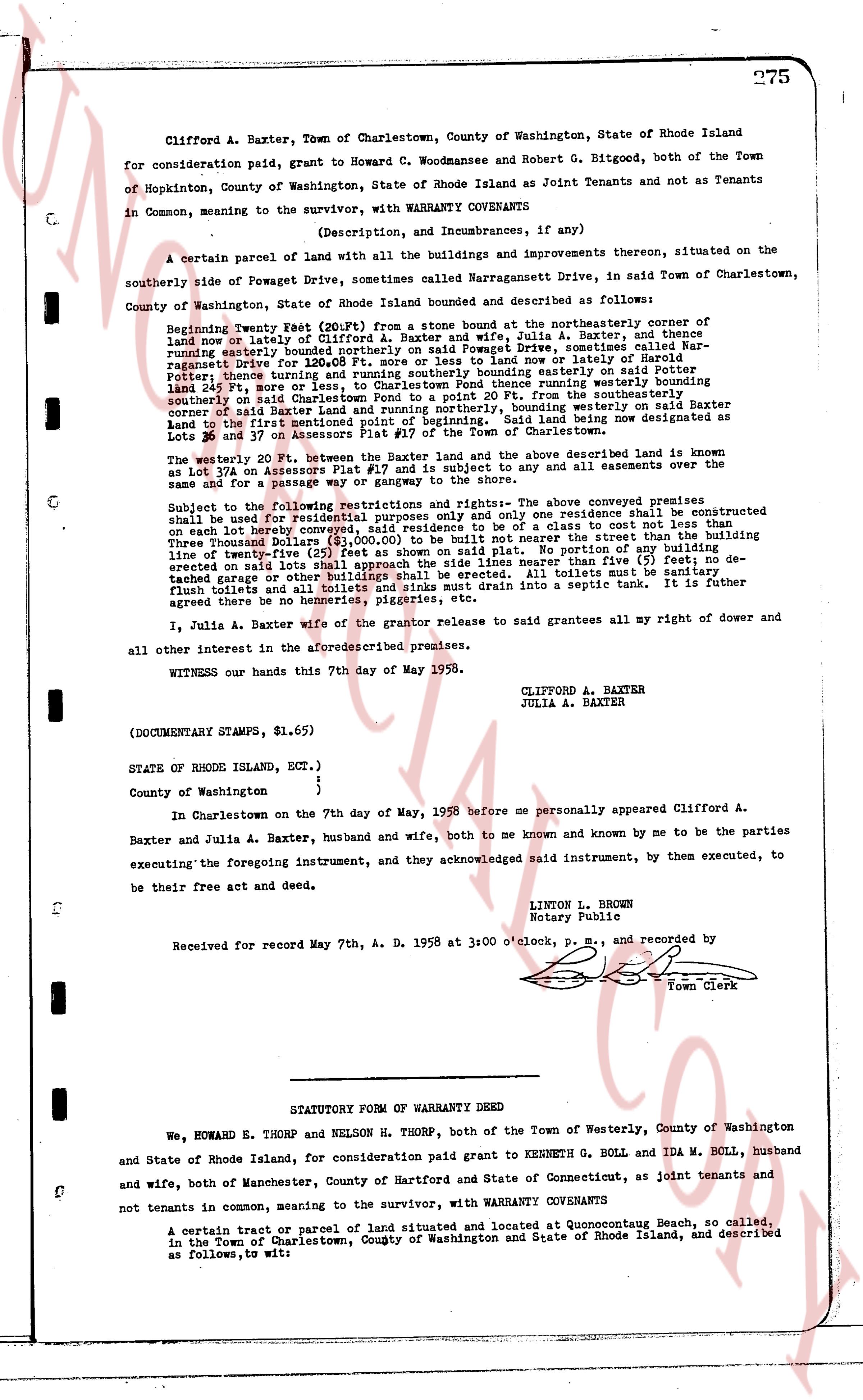
Clifford A. Baxter, Town of Charlestown, County of Washington, State of Rhode Island for consideration paid, grant to Howard C. Woodmansee and Robert G. Bitgood, both of the Town of Hopkinton, County of Washington, State of Rhode Island as Joint Tenants and not as Tenants in Common, meaning to the survivor, with (Description, and Incumbrances, and if any) WARRANTY COVENANTS
A certain parcel of land with all the buildings and improvements thereon, situated on the southerly side of Powagate Drive, sometimes called Narragansett Drive, in said Town of Charlestown, County of Washington, State of Rhode Island bounded and described as follows:
Beginning Twenty West (20')Ft. from a stone bound at the northeasterly corner of said land now or lately of Clifford A. Baxter and wife, Julia A. Baxter, and thence running easterly bounded easterly on Powagate Drive, sometimes called Narragansett Drive for 120.08 Ft. more or less to some land now or lately of Peter and Mary [?] and thence running southerly bounded southerly on said Peter and Mary [?] land 249 Ft. more or less, to Charlestown Pond thence running westerly bounded southerly upon said Pond to a stone bound, and thence running from the southeasterly corner of said Baxter Land and running northerly, bounding westerly on said Baxter Land to the first bound above described, said land being now designated as Lots 26 and 37 on Assessors Plat #17 of the Town of Charlestown.
The westerly 20 Ft. between the Baxter and the above described land is known as Lot 17a on Assessors Plat #17 and is subject to any and all easements concerning the same and for a passage way from said land to the shore.
Subject to the following restrictions and rights: The above Conveyance premises shall be used for residential purposes only and only one residence shall be constructed on each in every conveyed lot; no residence shall cost not less than the building Three Thousand Dollars ($3,000.00) to be built not nearer the street than the building line of twenty feet; that no fence shall be erected on said lot unless portion of the building erected on said lot shall approach the side lines nearer than five (5) feet; no detached garage or other building shall be erected unless totals must be connected to flush toilets and all toilets and sinks must drain into a septic tank. It is further agreed there be no homeries, piggeries, etc.
I, Julia A. Baxter wife of the grantor release to said grantees all my right of dower and all other interest in the aforesaid premises.
WITNESS our hands this 7th day of May 1958.
CLIFFORD A. BAXTER
JULIA A. BAXTER
(DOCUMENTARY STAMPS, $1.65)
STATE OF RHODE ISLAND, ECT.)
}
County of Washington }
In Charlestown on the 7th day of May, 1958 before me personally appeared Clifford A. Baxter and Julia A. Baxter, husband and wife, both to me known and known by me to be the parties executing the foregoing instrument, and they acknowledged said instrument, by them executed, to be their free act and deed.
LINTON L. BROWN
Notary Public
Received for record May 7th, A. D. 1958 at 3:00 o'clock, p. m., and recorded by [?]
Town Clerk
----
STATUTORY FORM OF WARRANTY DEED
We, HOWARD E. THORP and NELSON H. THORP, both of the Town of Westerly, County of Washington and State of Rhode Island, for consideration paid grant to KENNETH G. BOLL and IDA M. BOLL, husband and wife, both of Manchester, County of Hartford and State of Connecticut, as joint tenants and not tenants in common, meaning to the survivor, with WARRANTY COVENANTS
A certain tract or parcel of land situated and located at Quonochontaug Beach, so called, in the Town of Charlestown, County of Washington and State of Rhode Island, and described as follows, to wit:
page 2 · read by Gemma vision
276
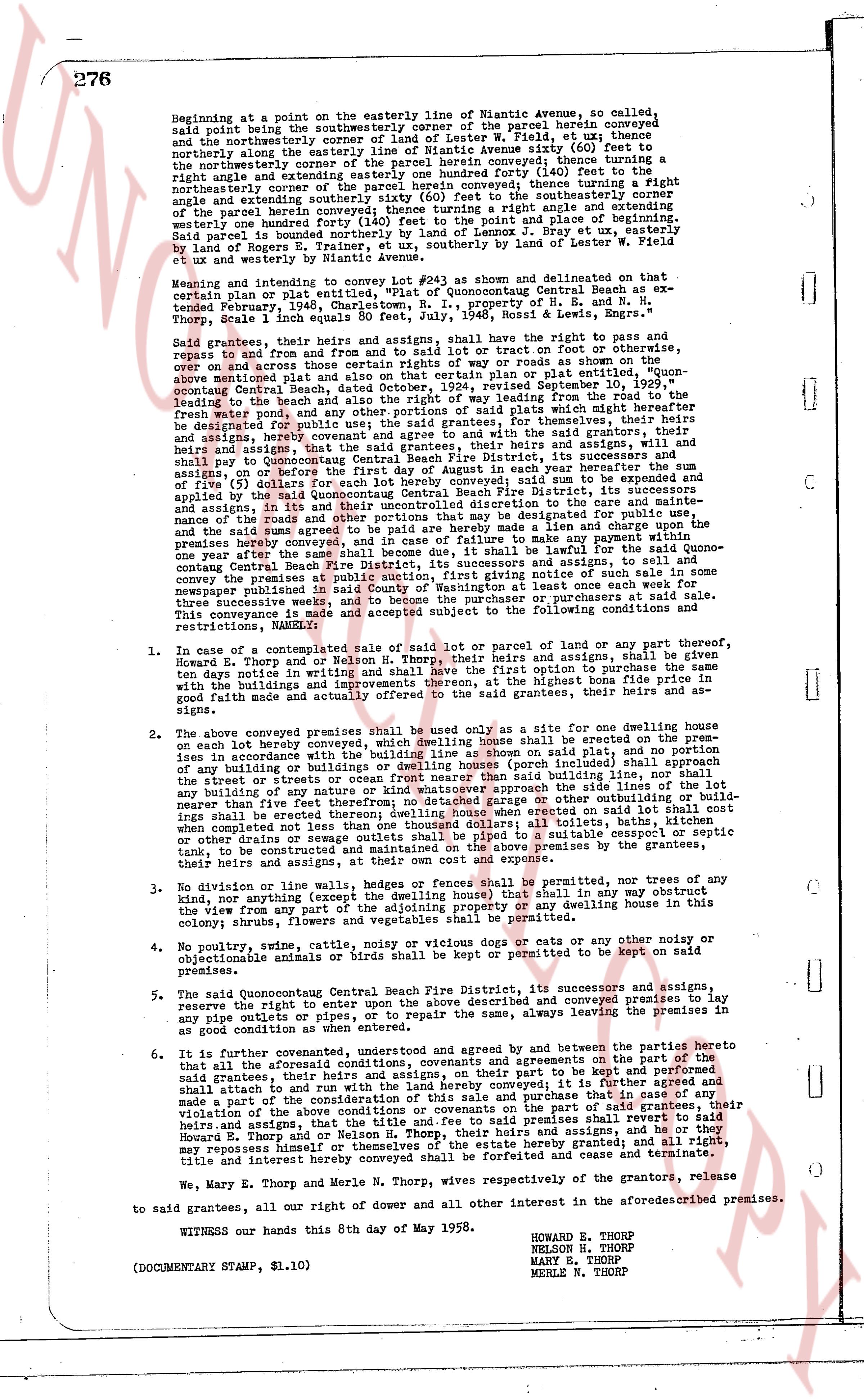
Beginning at a point on the easterly line of Niantic Avenue, so called,
said point being the southwesternly corner of the parcel herein conveyed
and the northwesternly corner of the parcel conveyed to [?] W. Field, of the same
northerly along the easterly line of Niantic Avenue sixty (60) feet to
the northeasterly corner of the parcel herein conveyed; then turning a right
angle and extending easterly one hundred forty (140) feet to the north
northeasterly corner of the parcel herein conveyed; then turning a right
angle and extending southerly one hundred forty (140) feet to the southwesternly corner
of the parcel herein conveyed; then turning a right angle and extending
westerly one hundred forty (140) feet to the point of beginning. Said parcel
said parcel is bounded northerly by the land of Lennox J. Bray et ux, easterly by
land of Roger [?] and southerly by land of Robert S. Field et ux, westerly
by Niantic Avenue.
Meaning and intent to convey Lot #24 as shown and delineated on that
certain plan or plat now entitled, "Plat of Quonocutang Central Beach as ex-
tended February, 1936, showing the property of H. E. and N. H.
Thorp, Scale 1 inch equals 80 feet, July, 1946, Rossi & Lewis, Engrs."
Said grantees, their heirs and assigns, shall have the right to pass and
repass to and from their said premises, by the use of tracks or footpaths, droveways,
over and across those certain rights of way or roads as shown on the
above mentioned plat and more particularly described on said plat, namely, Quon-
ocutang Central Beach, dated October 24, 1928, revised September 10, 1929,
leading from the beach road to the beach, and from the beach road to the
fresh water pond, and any other portions of said plat which may hereafter be
designated for such purpose, in common with the grantors, their heirs and
assigns, by whom Quonocutang Central Beach Fire District, its successors and
assigns, shall now to Quonocutang Central Beach Fire District, its successors and
assigns, on or before the first day of August of each year, pay as and when due
sum of five dollars ($5.00) per year. Said convyed sud be to an expense
applied by the said Quonocutang Central Beach Fire District, its successors and
assigns, on the maintenance of the roads and the care and maintenance of the
nanance of the roads and other portions that may be designated for public use,
and in the event of a failure to make any payment when due or charge upon the
premises hereby conveyed, and in case of failure to make any payment when due
one year after the same shall become due and unpaid it shall be lawful for the said Quon-
ocutang Central Beach Fire District, its successors and assigns, to sell and convey
the premises hereby conveyed, after giving notice of such sale by posting of such
notice newspaper published in said County of Washington at least once each week for
three consecutive weeks immediately preceding the date of such sale.
This conveyance is made and subject accepted and subject to the following conditions,
restrictions, NABEMENTS:
1. In case of a contemplated sale of said lot or parcel of land or any part thereof,
Howard E. Thorp and/or Nelson H. Thorp, their heirs and assigns, shall be given
ten days notice in writing and shall have the option to purchase the premises
with the Buildings and improvements thereon, at the highest bona fide price in
good faith made and actually offered to the said grantees, their heirs and as-
signs.
2. The above conveyed premises shall be used only as a site for one dwelling house
on each lot hereby conveyed, which dwelling house shall be erected on the prem-
ises in accordance with the restrictions shown on said plat, and no part of
any building or buildings or dwelling houses (porch included) shall approach the
said travel of roads or other rights of way, and no part of any building
of any building or any nature or act structure whichever approach the side lines of the lot
neither than five feet or any other structure whichever approach the side lines of the lot
shall be erected nothing than one hundred feet the all buildings, porches, garages or
when completed not less than one hundred feet from the opposite.
3. No division or line walls, hedges or fences shall be permitted, nor trees of any
kind, nor anything (except the dwelling house & team) that in any way obstruct
the view from any part of the premises to the ocean or any dwelling house this
colony shrubs, flowers and vegetables shall be permitted.
4. No poultry, swine, cattle, noviza or cystic novels or dogs cats or any other noise or
objectionable animals or birds shall be kept or permitted to be kept on said
premises.
5. The said Quonocutang Central Beach Fire District, its successors and assigns
reserve the right to enter upon the above described and conveyed premises to lay
any pipe mains, pipes or other utilities, as may be necessary, always leaving the premises in
as good condition as when entered.
6. It is further covenanted, understood and agreed by and between the parties here to
that all the aforementioned covenants and agreements on the part of the
said grantors, their heirs and assigns, on their part to be kept and performed
shall attach to and run with the said premises, it is further agreed and
made a part of the consideration of this sale and purchase that in case of any
violation of the above restrictions by the grantees or the part of said grantees, their
heirs and assigns, that the title and fee to said premises shall revert to said
Howard E. Thorp and/or Nelson H. Thorp, their heirs and assigns, and
may repossess himself or themselves of the estate hereby granted; and all right,
title and interest hereby conveyed shall be forfeited and cease and terminate.
We, Mary E. Thorp and Merle N. Thorp, wives respectively of the grantors, release
to said grantees, all our right of dower and all other interest in the aforesaid premises.
WITNESS our hands this 8th day of May 1958.
HOWARD E. THORP
NELSON H. THORP
MARY E. THORP
MERLE N. THORP
(DOCUMENTARY STAMP, $1.10)
page 3 · read by Gemma vision
STATE OF RHODE ISLAND
COUNTY OF WASHINGTON
In Westerly on the 8th day of May 1958, before me personally appeared Howard E. Thorp, Nelson H. Thorp, Mary E. Thorp and Merle N. Thorp, to me known and by me to be the parties executing the foregoing instrument, and they acknowledged said instrument by them executed to be their free act and deed.
PAUL M. KEARNEY (Notarial Seal)
Notary Public
Received for record May 10th, A. D. 1958 at 10:00 o'clock, a. m., and recorded by [Signature]
Town Clerk
----
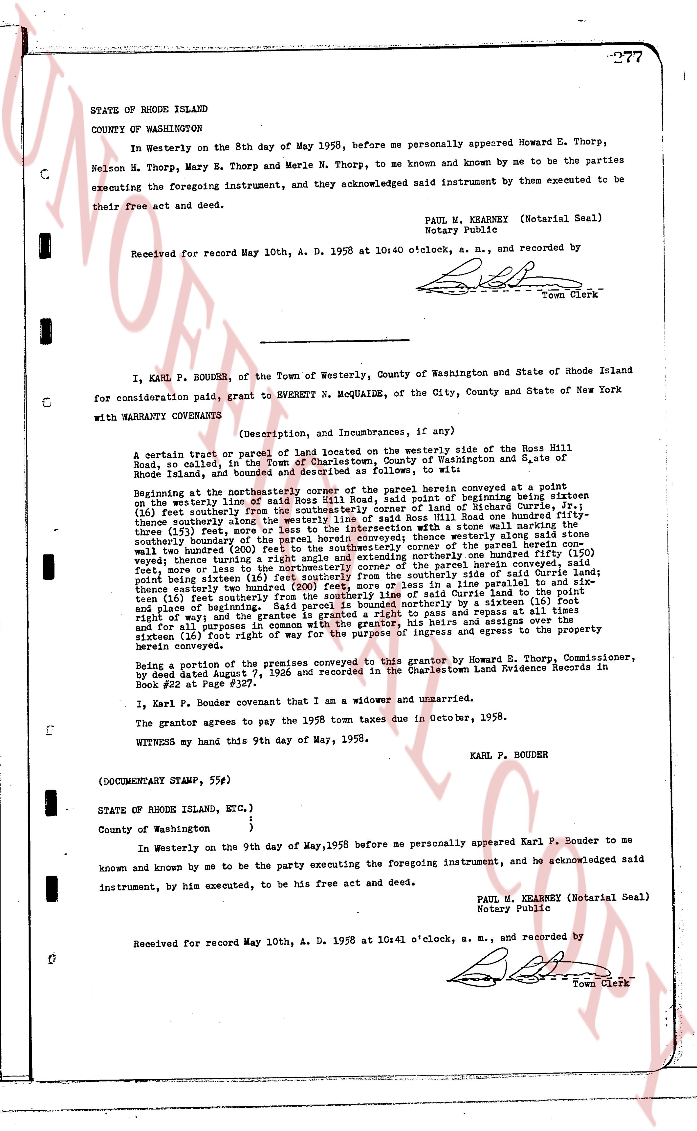
I, KARL P. BOUDER, of the Town of Westerly, County of Washington and State of Rhode Island for consideration paid, grant to EVERETT N. MCQUAIDE, of the City, County and State of New York with WARRANTY COVENANTS
(Description, and Incumbrances, if any)
A certain tract or parcel of land located on the westerly side of the Ross Hill Road, so called, in the Town of Charlestown, County of Washington and State of Rhode Island, and bounded and described as follows: to wit:
Beginning at the northeasterly corner of the parcel herein conveyed at a point on the westerly line of said Ross Hill Road, at the point of beginning being sixteen (16) feet southerly from the southeasterly corner of land of [?] in Book 31, page 71; (16) feet southerly from the southeasterly corner of land of [?] in Book 31, page 71; one hundred twenty three point seventy three (123.73) feet, more or less to the intersection with a wall same marking the thirty three (33) feet, more or less to the intersection with a wall same marking the thirty three (33) feet, more or less to the intersection with a wall same marking the thirty three (33) feet, more or less to the intersection with a wall same marking the thirty three (33) feet, more or less to the intersection with a wall same marking the thirty three (33) feet, more or less to the intersection with a wall same marking the thirty three (33) feet, more or less to the intersection with a wall same marking the thirty three (33) feet, more or less to the intersection with a wall same marking the thirty three (33) feet, more or less to the intersection with a wall same marking the thirty three (33) feet, more or less to the intersection with a wall same marking the thirty three (33) feet, more or less to the intersection with a wall same marking the thirty three (33) feet, more or less to the intersection with a wall same marking the thirty three (33) feet, more or less to the intersection with a wall same marking the thirty three (33) feet, more or less to the intersection with a wall same marking the thirty three (33) feet, more or less to the intersection with a wall same marking the thirty three (33) feet, more or less to the intersection with a wall same marking the thirty three (33) feet, more or less to the intersection with a wall same marking the thirty three (33) feet, more or less to the intersection with a wall same marking the thirty three (33) feet, more or less to the intersection with a wall same marking the thirty three (33) feet, more or less to the intersection with a wall same marking the thirty three (33) feet, more or less to the intersection with a wall same marking the thirty three (33) feet, more or less to the intersection with a wall same marking the thirty three (33) feet, more or less to the intersection with a wall same marking the thirty three (33) feet, more or less to the intersection with a wall same marking the thirty three (33) feet, more or less to the intersection with a wall same marking the thirty three (33) feet, more or less to the intersection with a wall same marking the thirty three (33) feet, more or less to the intersection with a wall same marking the thirty three (33) feet, more or less to the intersection with a wall same marking the thirty three (33) feet, more or less to the intersection with a wall same marking the thirty three (33) feet, more or less to the intersection with a wall same marking the thirty three (33) feet, more or less to the intersection with a wall same marking the thirty three (33) feet, more or less to the intersection with a wall same marking the thirty three (33) feet, more or less to the intersection with a wall same marking the thirty three (33) feet, more or less to the intersection with a wall same marking the thirty three (33) feet, more or less to the intersection with a wall same marking the thirty three (33) feet, more or less to the intersection with a wall same marking the thirty three (33) feet, more or less to the intersection with a wall same marking the thirty three (33) feet, more or less to the intersection with a wall same marking the thirty three (33) feet, more or less to the intersection with a wall same marking the thirty three (33) feet, more or less to the intersection with a wall same marking the thirty three (33) feet, more or less to the intersection with a wall same marking the thirty three (33) feet, more or less to the intersection with a wall same marking the thirty three (33) feet, more or less to the intersection with a wall same marking the thirty three (33) feet, more or less to the intersection with a wall same marking the thirty three (33) feet, more or less to the intersection with a wall same marking the thirty three (33) feet, more or less to the intersection with a wall same marking the thirty three (33) feet, more or less to the intersection with a wall same marking the thirty three (33) feet, more or less to the intersection with a wall same marking the thirty three (33) feet, more or less to the intersection with a wall same marking the thirty three (33) feet, more or less to the intersection with a wall same marking the thirty three (33) feet, more or less to the intersection with a wall same marking the thirty three (33) feet, more or less to the intersection with a wall same marking the thirty three (33) feet, more or less to the intersection with a wall same marking the thirty three (33) feet, more or less to the intersection with a wall same marking the thirty three (33) feet, more or less to the intersection with a wall same marking the thirty three (33) feet, more or less to the intersection with a wall same marking the thirty three (33) feet, more or less to the intersection with a wall same marking the thirty three (33) feet, more or less to the intersection with a wall same marking the thirty three (33) feet, more or less to the intersection with a wall same marking the thirty three (33) feet, more or less to the intersection with a wall same marking the thirty three (33) feet, more or less to the intersection with a wall same marking the thirty three (33) feet, more or less to the intersection with a wall same marking the thirty three (33) feet, more or less to the intersection with a wall same marking the thirty three (33) feet, more or less to the intersection with a wall same marking the thirty three (33) feet, more or less to the intersection with a wall same marking the thirty three (33) feet, more or less to the intersection with a wall same marking the thirty three (33) feet, more or less to the intersection with a wall same marking the thirty three (33) feet, more or less to the intersection with a wall same marking the thirty three (33) feet, more or less to the intersection with a wall same marking the thirty three (33) feet, more or less to the intersection with a wall same marking the thirty three (33) feet, more or less to the intersection with a wall same marking the thirty three (33) feet, more or less to the intersection with a wall same marking the thirty three (33) feet, more or less to the intersection with a wall same marking the thirty three (33) feet, more or less to the intersection with a wall same marking the thirty three (33) feet, more or less to the intersection with a wall same marking the thirty three (33) feet, more or less to the intersection with a wall same marking the thirty three (33) feet, more or less to the intersection with a wall same marking the thirty three (33) feet, more or less to the intersection with a wall same marking the thirty three (33) feet, more or less to the intersection with a wall same marking the thirty three (33) feet, more or less to the intersection with a wall same marking the thirty three (33) feet, more or less to the intersection with a wall same marking the thirty three (33) feet, more or less to the intersection with a wall same marking the thirty three (33) feet, more or less to the intersection with a wall same marking the thirty three (33) feet, more or less to the intersection with a wall same marking the thirty three (33) feet, more or less to the intersection with a wall same marking the thirty three (33) feet, more or less to the intersection with a wall same marking the thirty three (33) feet, more or less to the intersection with a wall same marking the thirty three (33) feet, more or less to the intersection with a wall same marking the thirty three (33) feet, more or less to the intersection with a wall same marking the thirty three (33) feet, more or less to the intersection with a wall same marking the thirty three (33) feet, more or less to the intersection with a wall same marking the thirty three (33) feet, more or less to the intersection with a wall same marking the thirty three (33) feet, more or less to the intersection with a wall same marking the thirty three (33) feet, more or less to the intersection with a wall same marking the thirty three (33) feet, more or less to the intersection with a wall same marking the thirty three (33) feet, more or less to the intersection with a wall same marking the thirty three (33) feet, more or less to the intersection with a wall same marking the thirty three (33) feet, more or less to the intersection with a wall same marking the thirty three (33) feet, more or less to the intersection with a wall same marking the thirty three (33) feet, more or less to the intersection with a wall same marking the thirty three (33) feet, more or less to the intersection with a wall same marking the thirty three (33) feet, more or less to the intersection with a wall same marking the thirty three (33) feet, more or less to the intersection with a wall same marking the thirty three (33) feet, more or less to the intersection with a wall same marking the thirty three (33) feet, more or less to the intersection with a wall same marking the thirty three (33) feet, more or less to the intersection with a wall same marking the thirty three (33) feet, more or less to the intersection with a wall same marking the thirty three (33) feet, more or less to the intersection with a wall same marking the thirty three (33) feet, more or less to the intersection with a wall same marking the thirty three (33) feet, more or less to the intersection with a wall same marking the thirty three (33) feet, more or less to the intersection with a wall same marking the thirty three (33) feet, more or less to the intersection with a wall same marking the thirty three (33) feet, more or less to the intersection with a wall same marking the thirty three (33) feet, more or less to the intersection with a wall same marking the thirty three (33) feet, more or less to the intersection with a wall same marking the thirty three (33) feet, more or less to the intersection with a wall same marking the thirty three (33) feet, more or less to the intersection with a wall same marking the thirty three (33) feet, more or less to the intersection with a wall same marking the thirty three (33) feet, more or less to the intersection with a wall same marking the thirty three (33) feet, more or less to the intersection with a wall same marking the thirty three (33) feet, more or less to the intersection with a wall same marking the thirty three (33) feet, more or less to the intersection with a wall same marking the thirty three (33) feet, more or less to the intersection with a wall same marking the thirty three (33) feet, more or less to the intersection with a wall same marking the thirty three (33) feet, more or less to the intersection with a wall same marking the thirty three (33) feet, more or less to the intersection with a wall same marking the thirty three (33) feet, more or less to the intersection with a wall same marking the thirty three (33) feet, more or less to the intersection with a wall same marking the thirty three (33) feet, more or less to the intersection with a wall same marking the thirty three (33) feet, more or less to the intersection with a wall same marking the thirty three (33) feet, more or less to the intersection with a wall same marking the thirty three (33) feet, more or less to the intersection with
The page as recorded