The instrument's own words
page 1
484
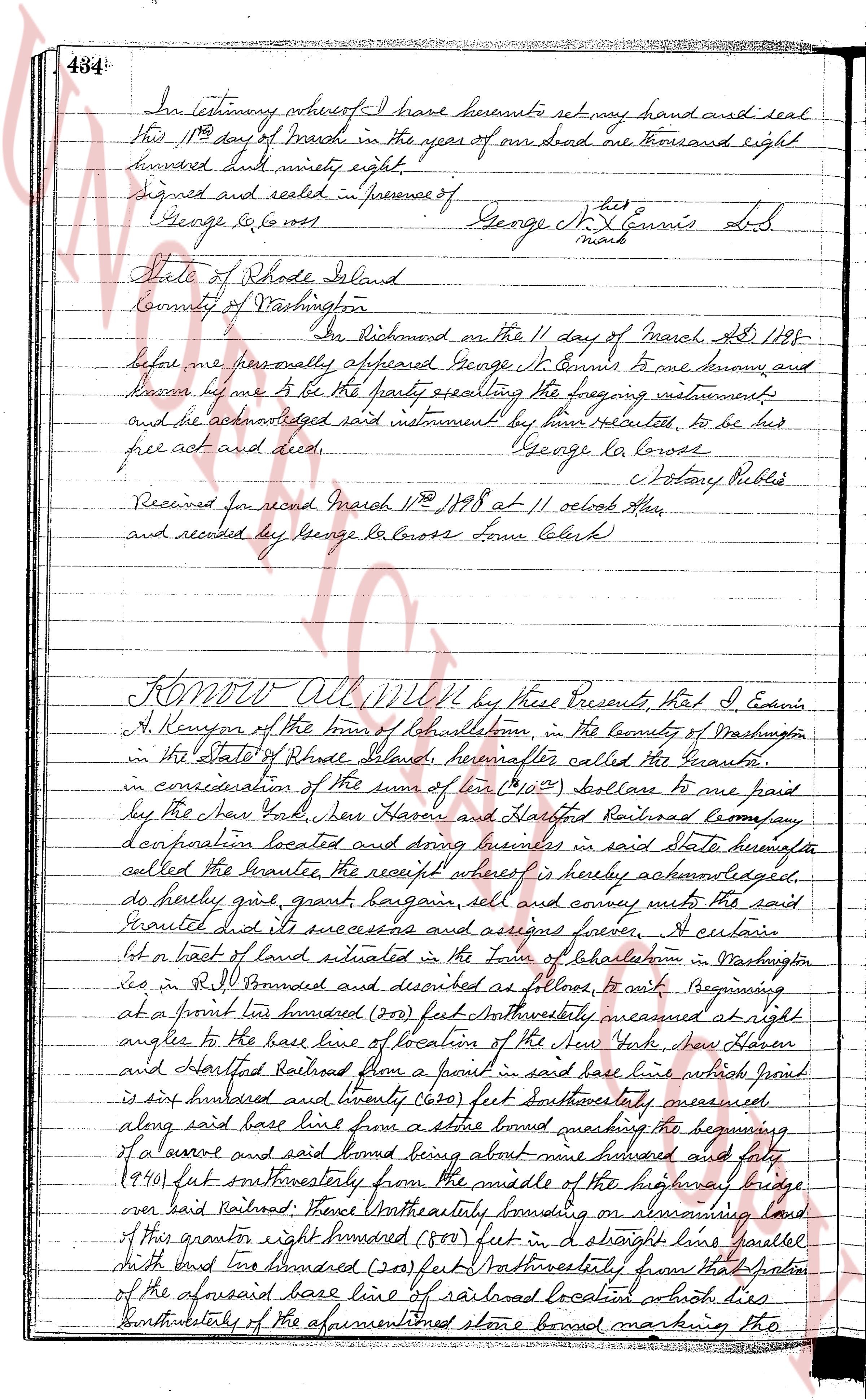
In testimony whereof I have hereunto set my hand and seal
this 11th day of March in the year of our lord one thousand eight
hundred and ninety eight.
Signed and sealed in presence of George St. Ennis [mark]
George La Cross
State of Rhode Island
County of Washington
On Richmond on the 11 day of March AD 1898
before me personally appeared George St. Ennis to me known, and
known by me to be the party sealing the foregoing instruments
and he acknowledged said instrument by him executed, to be his
free act and deed. George La Cross
Notary Public
Received for record March 11th 1898 at 11 oclock AM
and recorded by George La Cross Town Clerk
KNOW All Men by these Presents, That I Edwin
A. Kenyon of the town of Charlestown, in the County of Washington
in the State of Rhode Island, hereinafter called the Grantor,
in consideration of the sum of ten ($10) Dollars to me paid
by the New York, New Haven and Hartford Railroad Company,
a corporation located and doing business in said State hereinafter
called the Grantee, the receipt whereof is hereby acknowledged,
do hereby grant, give, bargain sell and convey unto the said
Grantee its successors and assigns forever, a certain
lot or tract of land situated in the Town of Charlestown in Washington
co in R.I. bounded and described as follows, it runs beginning
at a point one hundred (100) feet Northwesterly measured at right
angles to the base line of location of the New York, New Haven
and Hartford Railroad from a point in said base line which point
is six hundred and twenty one (621) feet southeasterly measured
along said base line from a stone bound marking the beginning
of a curve and said bound being about nine hundred and forty
(940) feet southwesterly from the middle of the highway bridge
over said Railroad; thence Northwesterly bounding on remaining land
of this grantor eight hundred (800) feet in a straight line parallel
with and one hundred (100) feet Northwesterly from that portion
of the aforesaid base line of railroad location on the southwesterly
of the aforementioned stone bound marking the
page 2
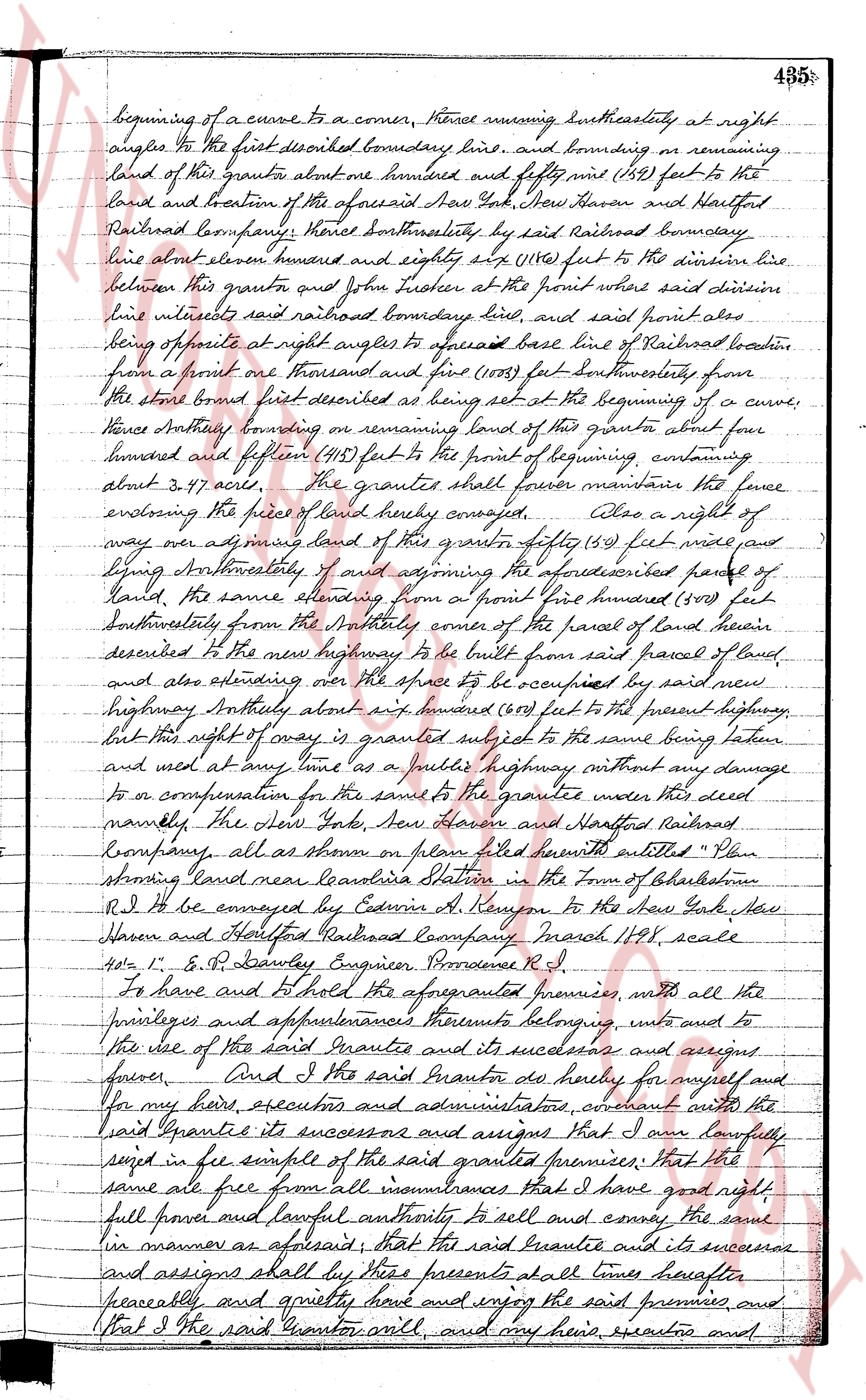
beginning of a curve to a corner, thence running southeasterly at right
angles to the first described boundary line, and bounding on remaining
land of this grant to about one hundred and fifty nine (159) feet to the
land and tractum of the aforesaid New York New Haven and Hartford
Railroad Company; thence southeasterly, by said Railroad boundary
line to about one hundred and eighty six (186) feet to the division line
between this grant and John Husker at the point where said division
line intersects said railroad boundary line, and said point also
being at right angles to aforesaid base line of Railroad location,
from a point one thousand and five (1005) feet southwesterly from
the stone bound first described as being set at the beginning of a curve,
thence northerly bounding on remaining land of this grant to about four
hundred and fifty one (451) feet to the point of beginning, containing
about 3.91 acres. The grantor shall forever maintain the fence
enclosing the piece of land hereby conveyed, Also a right of
way over any part of said land of this grant fifty (50) feet wide and
lying southeasterly of and spanning the aforesaid parcel of
land, the same extending from a point five hundred (500) feet
southeasterly from the southerly corner of the parcel of land herein
described to the new highway to be built from said parcel of land
and also extending over the space to be occupied by said new
highway northerly about six hundred (600) feet to the present highway,
but this right of way is granted subject to the same being taken
and used at any time as a public highway without any damage
or compensation for the same to the grantor nor the said
namely, the New York New Haven and Hartford Railroad
Company, all as shown on plan filed herewith entitled "Plan
showing land near Leonia Station in the Town of Bethlehem
R.I." as conveyed by Edwin A. Kenyon to the New York New
Haven and Hartford Railroad Company March 1791 scale
50' = 1" E. P. Bailey Engineer Providence R.I.
To have and to hold the aforementioned premises, with all the
privileges and appurtenances thereto belonging, unto and to
the use of the said Grantee and its successors and assigns
forever. And I the said Grantor do hereby for myself and
for my heirs, executors and administrators, covenant with the
said Grantee its successors and assigns that I am lawfully
seized in fee simple of the said granted premises; that the
same are free from all incumbrances that I have good right
full power and lawful authority to sell and convey the same
in manner as aforesaid; that the said Grantee and its successors
and assigns shall by these presents at all times hereafter
peaceably and quietly have and enjoy the said premises, and
that I the said Grantor will, and my heirs, executors and
page 3
436
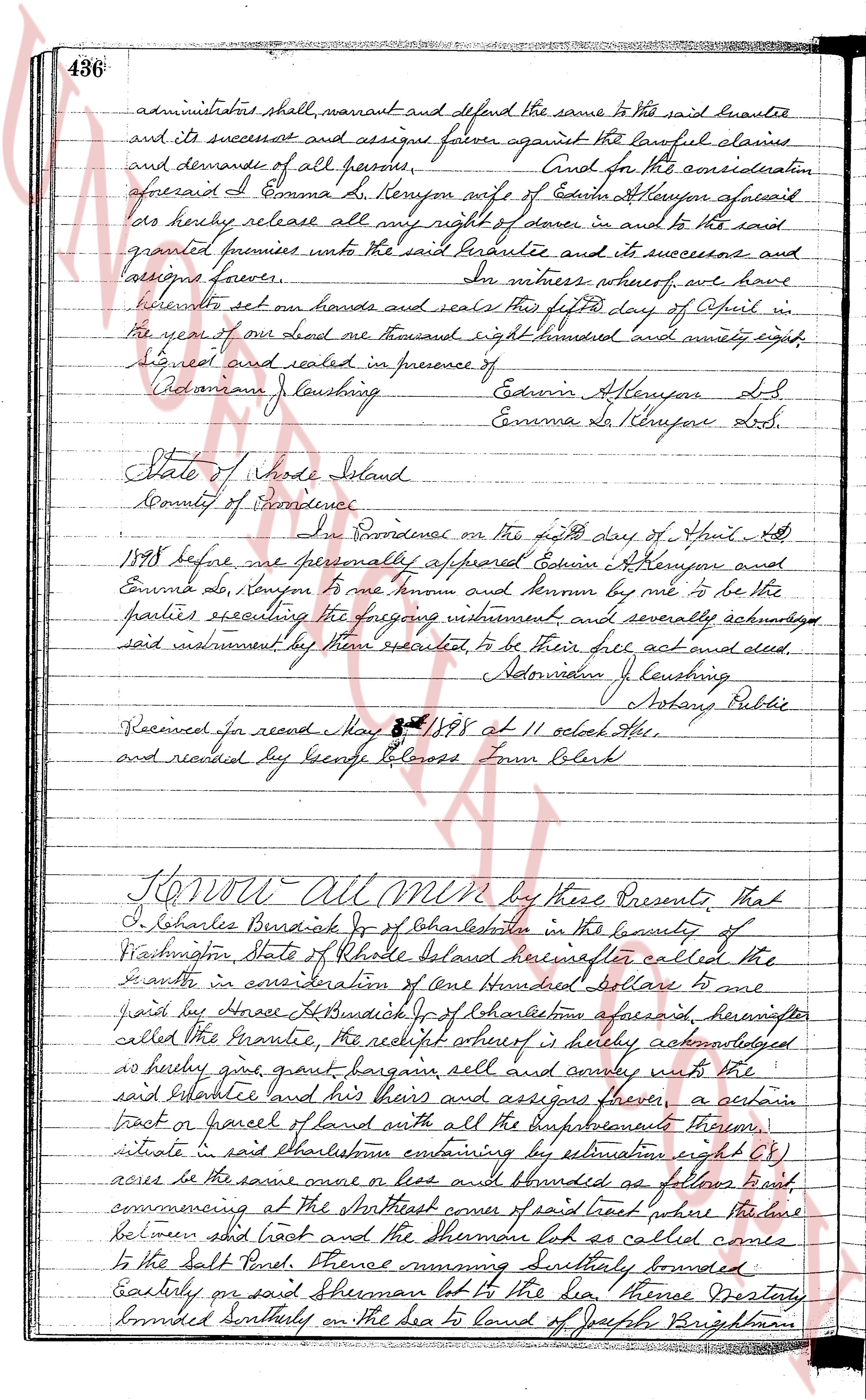
administrators shall warrant and defend the same to the said grantee
and its successors and assigns forever against the lawful claims
and demands of all persons. And for the consideration
aforesaid I Emma D. Kenyon wife of Edwin A. Kenyon aforesaid
do hereby release all my right of dower in and to the said
granted premises unto the said grantee and its successors
and assigns forever. In witness whereof, we have
hereunto set our hands and seals this fifth day of April in
the year of our Lord one thousand eight hundred and ninety eight.
Signed and sealed in presence of
Adoniram J. Launing
Edwin A. Kenyon L.S.
Emma D. Kenyon L.S.
State of Rhode Island
County of Providence
In Providence on the sixth day of April AD
1898 before me personally appeared Edwin A. Kenyon and
Emma D. Kenyon to me known and known by me to be the
parties executing the foregoing instrument and severally acknowledged
said instrument by them executed to be their free act and deed.
Adoniram J. Launing
Notary Public
Received for record May 3d 1898 at 11 oclock A.M.
and recorded by George Blossom Town Clerk
KNOW ALL MEN by these Presents, That
I, Charles Burdick Jr of Charlestown in the County of
Washington State of Rhode Island hereinafter called the
grantor in consideration of one Hundred dollars to me
paid by Grace Burdick Jr of Charlestown aforesaid hereinafter
called the Grantee, the receipt whereof is hereby acknowledged
and hereby give grant bargain sell and convey unto the
said Grantee and his heirs and assigns forever, a certain
tract or parcel of land with all the improvements thereon,
situate in said Charlestown containing by estimation eight (8)
acres be the same more or less and bounded as follows namely first
commencing at the Southeast corner of said lot which is line
between said lot and the Shore road so called runs
to the Salt Pond. Thence running Southerly bounded
Easterly on said Shearman lot to the dia thence westerly
bounded Southerly on the sea to land of Joseph Brightman
The page as recorded