The instrument's own words
page 1
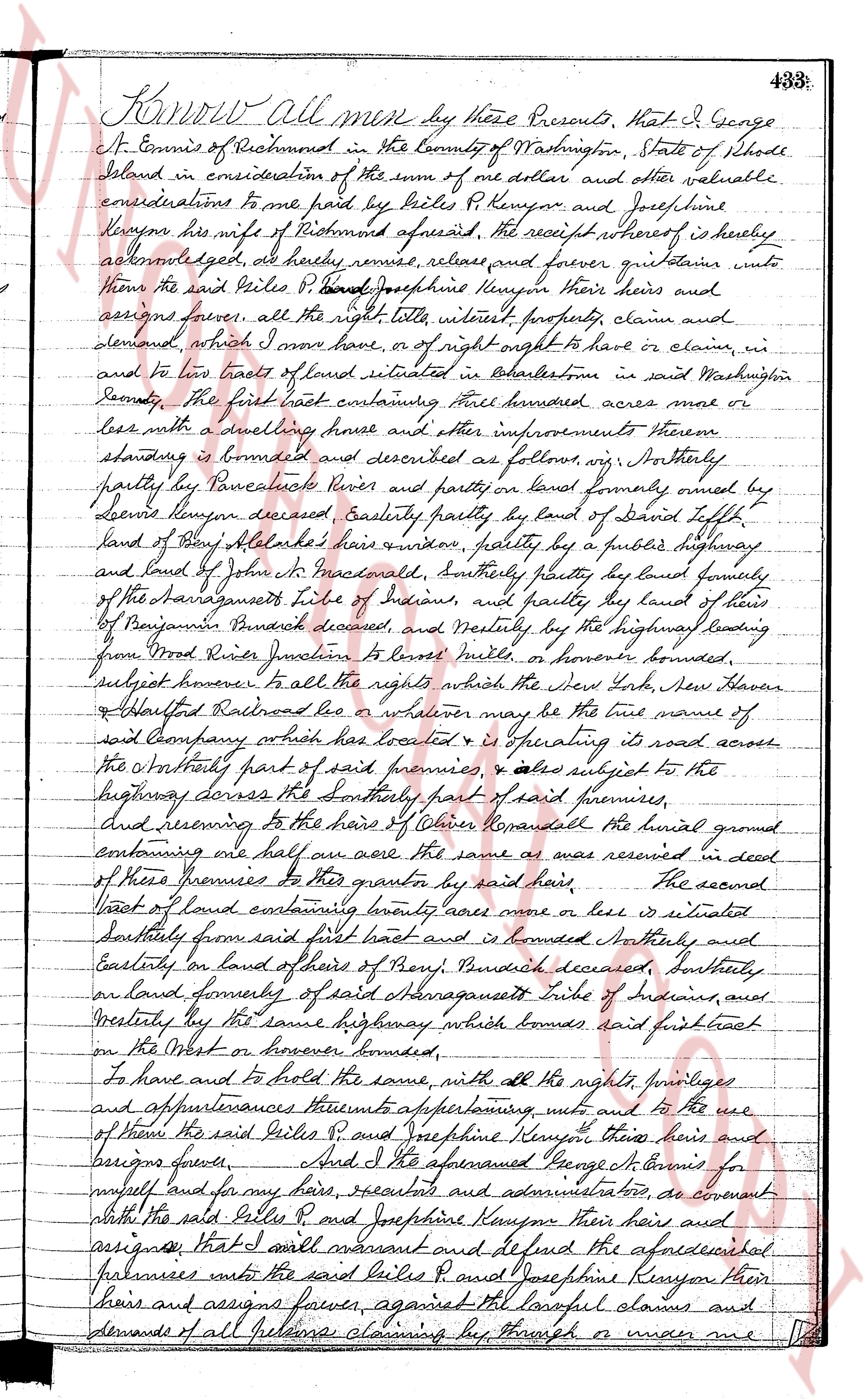
Know all men by these Presents, that I George
S. Cromis of Richmond in the County of Washington, State of Rhode
Island in consideration of the sum of one dollar and other valuable
considerations to me paid by Giles P. Kenyon and Josephine
Kenyon his wife of Richmond aforesaid, the receipt whereof is hereby
acknowledged, do hereby remise, release and forever quitclaim unto
them the said Giles P. Kenyon and Josephine Kenyon their heirs and
assigns forever, all the right title interest property, claims and
demands, which I now have, or of right ought to have or claim, in
and to two tracts of land situated in Charlestown in said Washington
County, the first tract containing three hundred acres more or
less with a dwelling house and other improvements thereon
standing is bounded and described as follows viz. Northerly
partly by the Pawcatuck River and partly on land formerly owned by
Devon Kenyon deceased, Easterly partly by land of David Lippitt
land of Amy Alkerake's heirs and widow, partly by a public highway
and land of John W. Maxwell, southerly partly by land formerly
of the Narragansetts Tribe of Indians, and partly by land of heirs
of Benjamin Pendick deceased, and westerly by the highway leading
from Mod. Rice's plantation to Liske's mill, or however bounded,
subject however to all the rights which the New York, New Haven
& Hartford Railroad Co or whatever may be the true name of
said company which has located & is operating its road across
the northeasterly part of said premises, & also subject to the
highway crossing the southerly part of said premises,
and reserving to the heirs of Oliver Randall the burial ground
containing one half acre the same as was reserved in deed
of these premises to this grantor by said heirs.
The second
tract of land containing twenty acres more or less is situated
Southerly from said first tract and is bounded Northerly by
Easterly on land of others of Richmond deceased, southerly
on land formerly of said Narragansetts Tribe of Indians, and
Westerly by the same highway which bounds said first tract
on the West or however bounded,
To have and to hold the same, with all the rights, privileges
and appurtenances thereunto appertaining unto and to the use
of them the said Giles P. and Josephine Kenyon their heirs and
assigns forever. And I the aforementioned George S. Cromis for
myself and for my heirs, executors and administrators, do covenant
with the said Giles P. and Josephine Kenyon their heirs and
assigns that I will warrant and defend the aforesaid
premises unto the said Giles P. and Josephine Kenyon their
heirs and assigns forever against all lawful claims and
demands of all persons claiming by through or under me
page 2
484
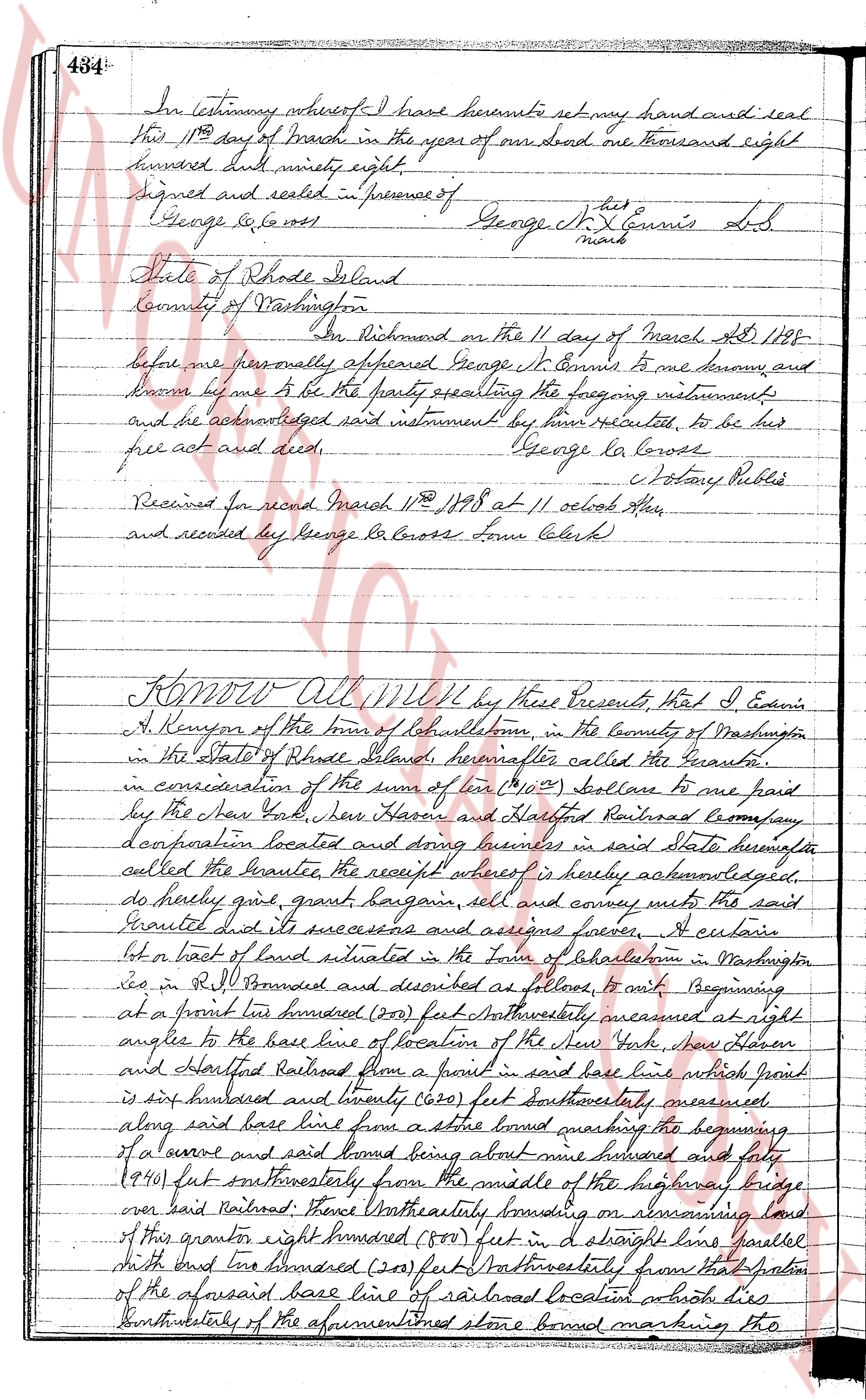
In testimony whereof I have hereunto set my hand and seal
this 11th day of March in the year of our lord one thousand eight
hundred and ninety eight.
Signed and sealed in presence of George N. Ennis [mark]
George La Cross
State of Rhode Island
County of Washington
On Richmond on the 11 day of March AD 1898
before me personally appeared George N. Ennis to me known, and
known by me to be the party sealing the foregoing instruments
and he acknowledged said instrument be him executed, to be his
free act and deed. George La Cross
Notary Public
Received for record March 11th 1898 at 11 oclock AM
and recorded by George La Cross Town Clerk
KNOW All Men by these Presents, That I Edwin
A. Kenyon of the town of Charlestown, in the County of Washington
in the State of Rhode Island, hereinafter called the Grantor,
in consideration of the sum of ten ($10) Dollars to me paid
by the New York, New Haven and Hartford Railroad Company,
a corporation located and doing business in said State hereinafter
called the Grantee, the receipt whereof is hereby acknowledged,
do hereby grant, give, bargain sell and convey unto the said
Grantee it's successors and assigns forever, a certain
lot or tract of land situated in the Town of Charlestown in Washington
co in R.I. bounded and described as follows, it runs beginning
at a point one hundred (100) feet Northwesterly measured at right
angles to the base line of location of the New York, New Haven
and Hartford Railroad from a point in said base line which point
is six hundred and twenty one (621) feet southeasterly measured
along said base line from a stone bound marking the beginning
of a curve and said bound being about nine hundred and forty
(940) feet southwesterly from the middle of the highway bridge
over said Railroad; thence Northwesterly bounding on remaining land
of this grantor eight hundred (800) feet in a straight line parallel
with and one hundred (100) feet Northwesterly from that portion
of the aforesaid base line of railroad location on the dise
Southeasterly of the aforementioned stone bound marking the
The page as recorded