The instrument's own words
page 1 · read by Gemma vision
255
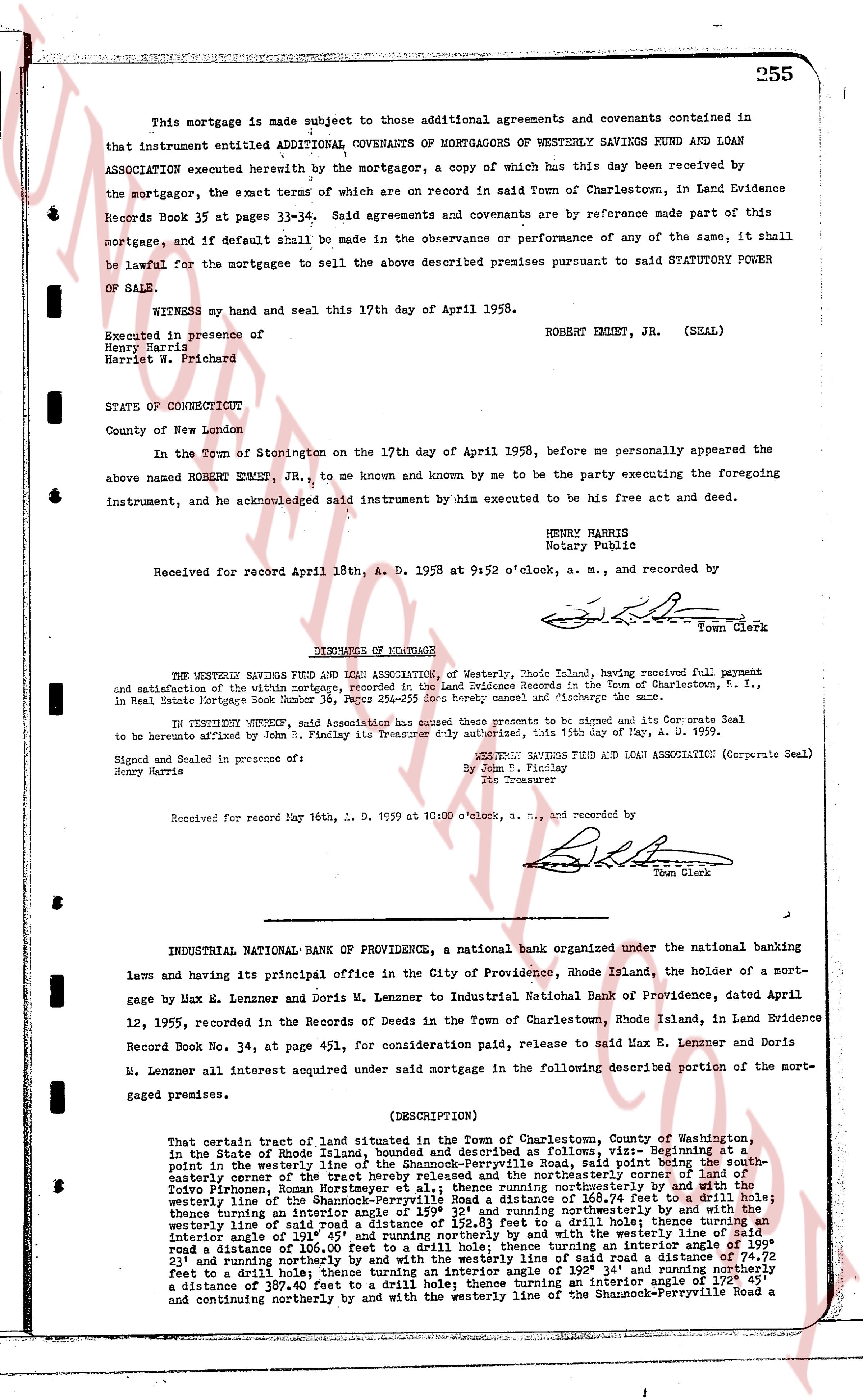
This mortgage is made subject to those additional agreements and covenants contained in that instrument entitled ADDITIONAL COVENANTS OF MORTGAGORS OF WESTERLY SAVINGS FUND AND LOAN ASSOCQATION executed herewith by the mortgagor, a copy of which has this day been received by the mortgagor, the exact terms of which are on record in said Town of Charlestown, in Land Evidence Books Record Book 35 at pages 13-14. Said agreements and covenants are by reference made part of this mortgage, and if default shall be made in the observance or performance of any of the same, it shall be lawful for the mortgagees to sell the above described premises pursuant to said STATUTORY POWER OF SALE.
WITNESS my hand and seal this 17th day of April 1958.
ROBERT EMMET, JR. (SEAL)
Executed in presence of
Henry Harris
Harriet W. Prichard
STATE OF CONNECTICUT
County of New London
In the Town of Stonington on the 17th day of April 1958, before me personally appeared the above named ROBERT EMMET, JR., to me known and known by me to be the party executing the foregoing instrument, and acknowledged said instrument by him executed to be his free act and deed.
HENRY HARRIS
Notary Public
Received for record April 18th, A. D. 1958 at 9:52 o'clock, a. m., and recorded by
[Signature] Town Clerk
----
DISCHARGE OF MORTGAGE
THE WESTERLY SAVINGS FUND AND LOAN ASSOCIATION, of Westerly, Rhode Island, having received full payment and satisfaction of the within mortgage, recorded in the Land Evidence Records in the Town of Charlestown, R. I., in Real Estate Mortgage Book Number 36, Pages 254-255 hereby cancel and discharge the same.
IN TESTIMONY WHEREOF, said Association has caused these presents to be signed and its Cor seal Date seal to be hereunto affixed by John S. Pinckney its Treasurer duly authorized, this 15th day of May, A. D. 1959.
Signed and Sealed in presence of:
Henry Harris
[Signature] WESTERLY SAVINGS FUND AND LOAN ASSOCIATION (Corporate Seal)
By John S. Pinckney
Its Treasurer
Received for record May 16th, A. D. 1959 at 10:00 o'clock, a. m., and recorded by
[Signature] Town Clerk
----
INDUSTRIAL NATIONAL BANK OF PROVIDENCE, a national bank organized under the national banking laws and having its principal office in the City of Providence, Rhode Island, the holder of a mortgage by Max E. Lenzner and Doris M. Lenzner to Industrial National Bank of Providence, dated April 12, 1955, recorded in the Records of Deeds in the Town of Charlestown, Rhode Island, in Land Evidence Record Book No. 34, at page 451, for consideration paid, release to said Max E. Lenzner and Doris M. Lenzner all interest acquired under said mortgage in the following described portion of the mortgaged premises.
(DESCRIPTION)
That certain tract of land situated in the Town of Charlestown, County of Washington, in the State of Rhode Island, bounded and described as follows: Beginning at a point in the westerly line of the Shannonck-Perryville Road, said point being the southeasterly corner of the tract of land of Max E. Lenzner and Doris M. Lenzner; thence running northeasterly to the property of Twizimo Phirman, Max Horsmeyer et al.; it thence running northeasterly and by with the westerly line of said Twizimo Phirman, Max Horsmeyer et al. a distance of 118.40 feet to a drill hole; thence turning an interior angle of 159° 32' and running northwesterly and by with the westerly line of said Twizimo Phirman, Max Horsmeyer et al. a distance of 111.10 feet to a drill hole; thence turning an interior angle of 191° 45' and running northerly and by with the westerly line of said Twizimo Phirman, Max Horsmeyer et al. a distance of 111.10 feet to a drill hole; thence turning an interior angle of 191° 45' and running northerly and by with the westerly line of said road a distance of 106.00 feet to a drill hole; thence turning an interior angle of 180° 00' and running southeasterly and by with the westerly line of said road a distance of 74.72 feet to a drill hole; thence turning an interior angle of 192° 34' and running northerly a distance of 39.70 feet to a drill hole; thence turning an interior angle of 180° 00' and running southerly and continuing northerly and by with the westerly line of the Shannonck-Perryville Road a
page 2 · read by Gemma vision
256
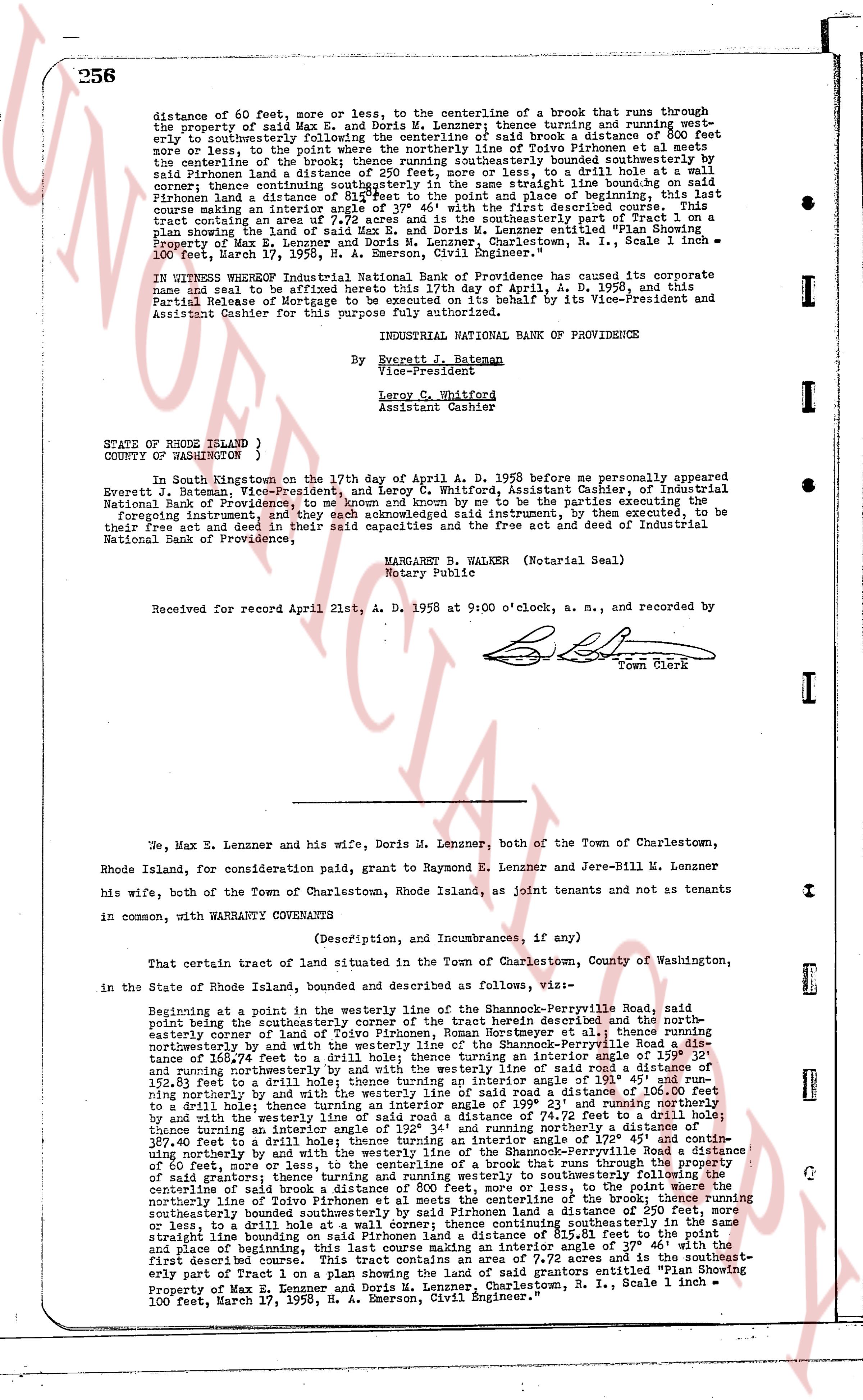
distance of 60 feet, more or less, to the centerline of a brook that runs through the property of said Max E. and Doris M. Lenzner; thence turning and running west, entirely by southerly boundary of said property, to the said brook; thence north 41 degrees west more or less, to the point where the northerly line of Torvio Pirhonen at meets the centerline of the brook; thence running southeasterly bounded southeasterly by said Pirhonen land to a distance of 150 feet, to a corner; thence running southeasterly in the same straight line bounding on said Pirhonen land a distance of 150 feet, to a corner; thence running south 15 degrees east, this course making an angle interior of 37 degrees 45' with the first described course. This tract containing a area of 1.35 acres more or less as shown on the property map and plan showing the land of said Max E. and Doris M. Lenzner entitled "Plan Showing Property of Max E. Lenzner and Doris M. Lenzner, Charlestown, R. I., Scale 1 inch = 100 feet, March 17, 1958, H. A. Emerson, Civil Engineer."
IN WITNESS WHEREOF Industrial National Bank of Providence has caused its Corporate Seal to be affixed to this instrument this 17th day of April, A. D. 1958, and this Partial Release of Mortgage to be executed on its behalf by its Vice-President and its Assistant Cashier for this purpose fully authorized.
INDUSTRIAL NATIONAL BANK OF PROVIDENCE
By Everett J. Banach
Vice-President
Leroy C. Whitford
Assistant Cashier
STATE OF RHODE ISLAND
COUNTY OF WASHINGTON }
At South Kingstown on the 17th day of April A. D. 1958 before me personally appeared Everett J. Banach, Vice-President, and Leroy C. Whitford, Assistant Cashier, of Industrial National Bank of Providence, to me known and known by me to be the parties executing the foregoing instrument, and they each acknowledged said instrument, by them executed, to be their own act and deed in their said capacities and the free act and deed of Industrial National Bank of Providence.
MARGARET B. WALKER (Notarial Seal)
Notary Public
Received for record April 21st, A. D. 1958 at 9:00 o'clock, a. m., and recorded by
[Signature]
Town Clerk
----
We, Max E. Lenzner and his wife, Doris M. Lenzner, both of the Town of Charlestown, Rhode Island, for consideration paid, grant to Raymond E. Lenzner and Jere-Bill M. Lenzner his wife, both of the Town of Charlestown, Rhode Island, as joint tenants and not as tenants in common, with WARRANTY COVENANTS
(Description, and Incumbrances, if any)
That certain tract of land situated in the Town of Charlestown, County of Washington, in the State of Rhode Island, bounded and described as follows, vis-
Beginning at a point in the westerly line of the Shankox-Perryville Road, said point being the northeasterly corner of the property of Max E. Lenzner and the northwesternly corner of land of Torvio Pirhonen, Roman Mortseyev et al; thence running northeasterly by said Road to a point in said Road, the distance being 150 feet; thence running easterly by the northerly line of said Road to a point in said Road, the distance being 168.74 feet to run to a drill hole; thence turning easterly an interior angle of 139 degrees 32' and running northeasterly by and with the northerly line of said Road and running east a distance of 150 feet, to run to a drill hole; thence turning easterly an interior angle of 145 degrees 41' and running northeasterly by and with the westerly line of said road a distance of 74.72 feet to a drill hole; thence turning easterly an interior angle of 139 degrees 32' and running northeasterly by and with the westerly line of said road a distance of 75.28 feet to a drill hole; thence turning easterly an interior angle of 145 degrees 41' and running northeasterly by and with the westerly line of said road a distance of 150 feet, to run to a drill hole; thence turning easterly an interior angle of 120 degrees 42' and continuing northeasterly by and with the westerly line of said road a distance of 150 feet, to run to a drill hole; thence turning easterly an interior angle of 120 degrees 42' and continuing northeasterly by and with the westerly line of said road a distance of 150 feet, to run to a drill hole; thence turning easterly an interior angle of 120 degrees 42' and continuing northeasterly by and with the westerly line of said road a distance of 150 feet, to run to a drill hole; thence turning easterly an interior angle of 120 degrees 42' and continuing northeasterly by and with the westerly line of said road a distance of 150 feet, to run to a drill hole; thence turning easterly an interior angle of 120 degrees 42' and continuing northeasterly by and with the westerly line of said road a distance of 150 feet, to run to a drill hole; thence turning easterly an interior angle of 120 degrees 42' and continuing northeasterly by and with the westerly line of said road a distance of 150 feet, to run to a drill hole; thence turning easterly an interior angle of 120 degrees 42' and continuing northeasterly by and with the westerly line of said road a distance of 150 feet, to run to a drill hole; thence turning easterly an interior angle of 120 degrees 42' and continuing northeasterly by and with the westerly line of said road a distance of 150 feet, to run to a drill hole; thence turning easterly an interior angle of 120 degrees 42' and continuing northeasterly by and with the westerly line of said road a distance of 150 feet, to run to a drill hole; thence turning easterly an interior angle of 120 degrees 42' and continuing northeasterly by and with the westerly line of said road a distance of 150 feet, to run to a drill hole; thence turning easterly an interior angle of 120 degrees 42' and continuing northeasterly by and with the westerly line of said road a distance of 150 feet, to run to a drill hole; thence turning easterly an interior angle of 120 degrees 42' and continuing northeasterly by and with the westerly line of said road a distance of 150 feet, to run to a drill hole; thence turning easterly an interior angle of 120 degrees 42' and continuing northeasterly by and with the westerly line of said road a distance of 150 feet, to run to a drill hole; thence turning easterly an interior angle of 120 degrees 42' and continuing northeasterly by and with the westerly line of said road a distance of 150 feet, to run to a drill hole; thence turning easterly an interior angle of 120 degrees 42' and continuing northeasterly by and with the westerly line of said road a distance of 150 feet, to run to a drill hole; thence turning easterly an interior angle of 120 degrees 42' and continuing northeasterly by and with the westerly line of said road a distance of 150 feet, to run to a drill hole; thence turning easterly an interior angle of 120 degrees 42' and continuing northeasterly by and with the westerly line of said road a distance of 150 feet, to run to a drill hole; thence turning easterly an interior angle of 120 degrees 42' and continuing northeasterly by and with the westerly line of said road a distance of 150 feet, to run to a drill hole; thence turning easterly an interior angle of 120 degrees 42' and continuing northeasterly by and with the westerly line of said road a distance of 150 feet, to run to a drill hole; thence turning easterly an interior angle of 120 degrees 42' and continuing northeasterly by and with the westerly line of said road a distance of 150 feet, to run to a drill hole; thence turning easterly an interior angle of 120 degrees 42' and continuing northeasterly by and with the westerly line of said road a distance of 150 feet, to run to a drill hole; thence turning easterly an interior angle of 120 degrees 42' and continuing northeasterly by and with the westerly line of said road a distance of 150 feet, to run to a drill hole; thence turning easterly an interior angle of 120 degrees 42' and continuing northeasterly by and with the westerly line of said road a distance of 150 feet, to run to a drill hole; thence turning easterly an interior angle of 120 degrees 42' and continuing northeasterly by and with the westerly line of said road a distance of 150 feet, to run to a drill hole; thence turning easterly an interior angle of 120 degrees 42' and continuing northeasterly by and with the westerly line of said road a distance of 150 feet, to run to a drill hole; thence turning easterly an interior angle of 120 degrees 42' and continuing northeasterly by and with the westerly line of said road a distance of 150 feet, to run to a drill hole; thence turning easterly an interior angle of 120 degrees 42' and continuing northeasterly by and with the westerly line of said road a distance of 150 feet, to run to a drill hole; thence turning easterly an interior angle of 120 degrees 42' and continuing northeasterly by and with the westerly line of said road a distance of 150 feet, to run to a drill hole; thence turning easterly an interior angle of 120 degrees 42' and continuing northeasterly by and with the westerly line of said road a distance of 150 feet, to run to a drill hole; thence turning easterly an interior angle of 120 degrees 42' and continuing northeasterly by and with the westerly line of said road a distance of 150 feet, to run to a drill hole; thence turning easterly an interior angle of 120 degrees 42' and continuing northeasterly by and with the westerly line of said road a distance of 150 feet, to run to a drill hole; thence turning easterly an interior angle of 120 degrees 42' and continuing northeasterly by and with the westerly line of said road a distance of 150 feet, to run to a drill hole; thence turning easterly an interior angle of 120 degrees 42' and continuing northeasterly by and with the westerly line of said road a distance of 150 feet, to run to a drill hole; thence turning easterly an interior angle of 120 degrees 42' and continuing northeasterly by and with the westerly line of said road a distance of 150 feet, to run to a drill hole; thence turning easterly an interior angle of 120 degrees 42' and continuing northeasterly by and with the westerly line of said road a distance of 150 feet, to run to a drill hole; thence turning easterly an interior angle of 120 degrees 42' and continuing northeasterly by and with the westerly line of said road a distance of 150 feet, to run to a drill hole; thence turning easterly an interior angle of 120 degrees 42' and continuing northeasterly by and with the westerly line of said road a distance of 150 feet, to run to a drill hole; thence turning easterly an interior angle of 120 degrees 42' and continuing northeasterly by and with the westerly line of said road a distance of 150 feet, to run to a drill hole; thence turning easterly an interior angle of 120 degrees 42' and continuing northeasterly by and with the westerly line of said road a distance of 150 feet, to run to a drill hole; thence turning easterly an interior angle of 120 degrees 42' and continuing northeasterly by and with the westerly line of said road a distance of 150 feet, to run to a drill hole; thence turning easterly an interior angle of 120 degrees 42' and continuing northeasterly by and with the westerly line of said road a distance of 150 feet, to run to a drill hole; thence turning easterly an interior angle of 120 degrees 42' and continuing northeasterly by and with the westerly line of said road a distance of 150 feet, to run to
page 3 · read by Gemma vision
257
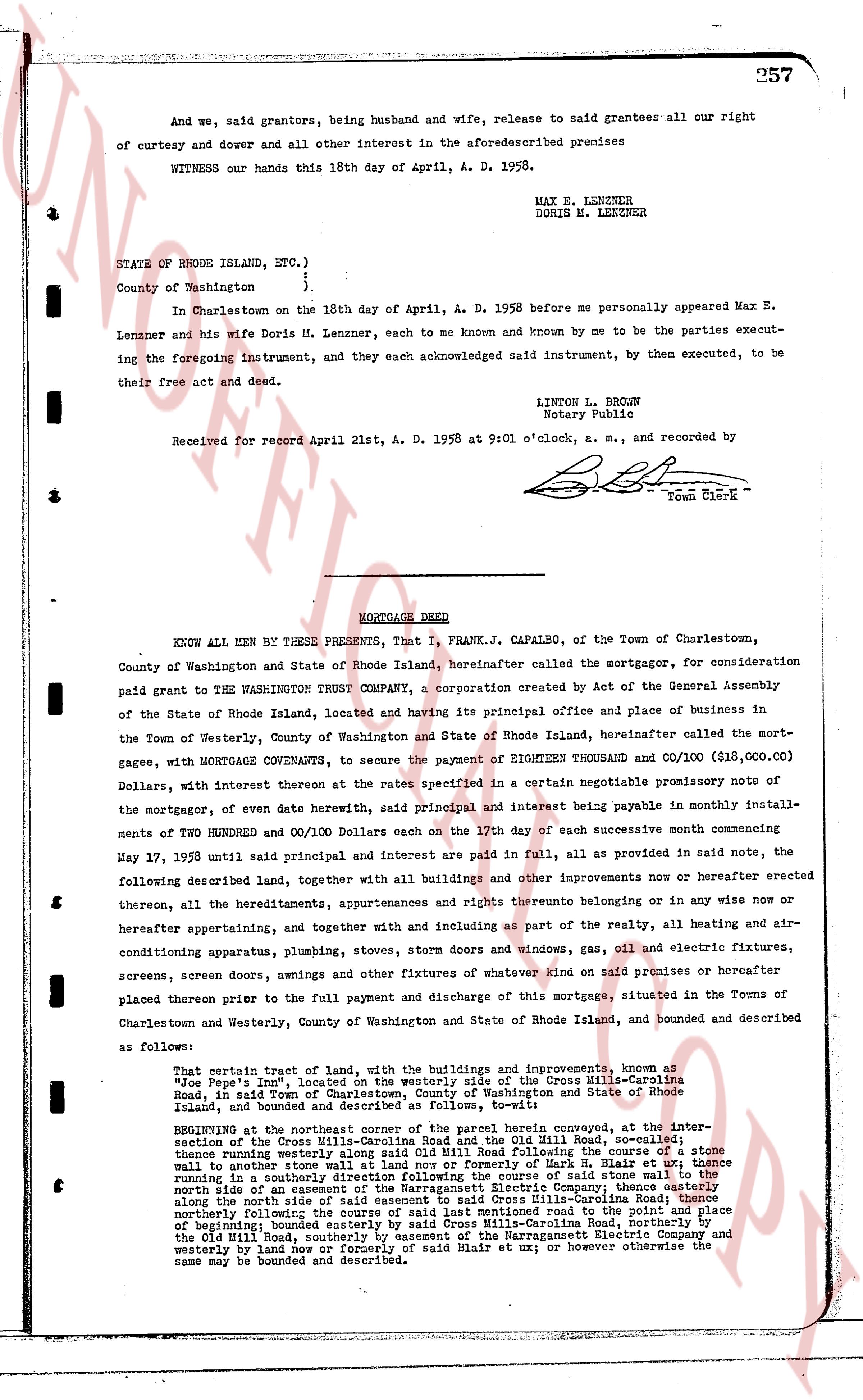
And we, said grantors, being husband and wife, release to said grantees all our right of curtesy and dower and all other interest in the aforesaid described premises
WITNESS our hands this 18th day of April, A. D. 1958.
MAX E. LENZNER
DORIS M. LENZNER
STATE OF RHODE ISLAND, ETC.)
County of Washington ) ss.
In Charlestown on the 18th day of April, A. D. 1958 before me personally appeared Max E. Lenzner and his wife Doris M. Lenzner, each to me known and known by me to be the parties executing the foregoing instrument, and they each acknowledged said instrument, by them executed, to be their free act and deed.
LINTON L. BROWN
Notary Public
Received for record April 21st, A. D. 1958 at 9 o'clock, a. m., and recorded by [?]
Town Clerk
----
MORTGAGE DEED
KNOW ALL MEN BY THESE PRESENTS, That I, FRANK J. CAPALBO, of the Town of Charlestown, County of Washington and State of Rhode Island, hereinafter called the mortgagor, for consideration paid grant to THE WASHINGTON TRUST COMPANY, a corporation created by Act of the General Assembly of the State of Rhode Island, located and having its principal office and place of business in the Town of Westerly, County of Washington and State of Rhode Island, hereinafter called the mortgagee, with MORTGAGE COVENANTS, to secure the payment of EIGHTEEN THOUSAND 00/100 ($18,000.00) Dollars, with interest thereon at the rates specified in a certain negotiable promissory note of the mortgagor, of even date herewith, said principal and interest being payable in monthly installments of TWO HUNDRED and 00/100 Dollars each on the 17th day of each successive month commencing May 17, 1958 until said principal and interest are paid in full, all as provided in said note, the following described land, together with all buildings and other improvements now or hereafter erected thereon, all the hereditaments, appurtenances and rights thereunto belonging or in any wise now or hereafter appertaining, and together with and including as part of the realty, all heating and air-conditioning apparatus, plumbing, stoves, doors and windows, gas, oil and electric fixtures, screens, storm doors, awnings and other fixtures of whatever kind on said premises or hereafter placed thereon prior to the full payment and discharge of this mortgage, situated in the Towns of Charlestown and Westerly, County of Washington and State of Rhode Island, and bounded and described as follows:
That certain tract of land, with the buildings and improvements, known as "Joe Pepe's Inn", located on the westerly side of the Cross Hills-Carolina Road, in said Towns, County of Washington and State of Rhode Island, and bounded and described as follows, to-wit:
BEGINNING at the northeaster corner of the parcel herein conveyed, at the intersection of the Cross Hills-Carolina Road and the Old Mill Road, no. southeast corner of a stone wall to stone wall to stone wall and line out now or formerly of Hark. B. Blair et ux; thence running southeasterly, a course of [?] degrees [?] minutes of said stone wall along the north side of an easement of the Narragansett Electric Company; thence easterly along the north side of the road known as the Cross Hills-Carolina Road; thence northerly along the north side of the road known as the Old Mill Road, to the point and place of beginning; bounded easterly by said Cross Hills-Carolina Road, northerly by the Old Mill Road, southeasterly by an easement of Narragansett Electric Company and westerly by land now or formerly of said Blair et ux; or however otherwise the same may be bounded and described.
The page as recorded