The instrument's own words
page 1 · read by Gemma vision
282
STATE OF RHODE ISLAND
COUNTY OF WASHINGTON
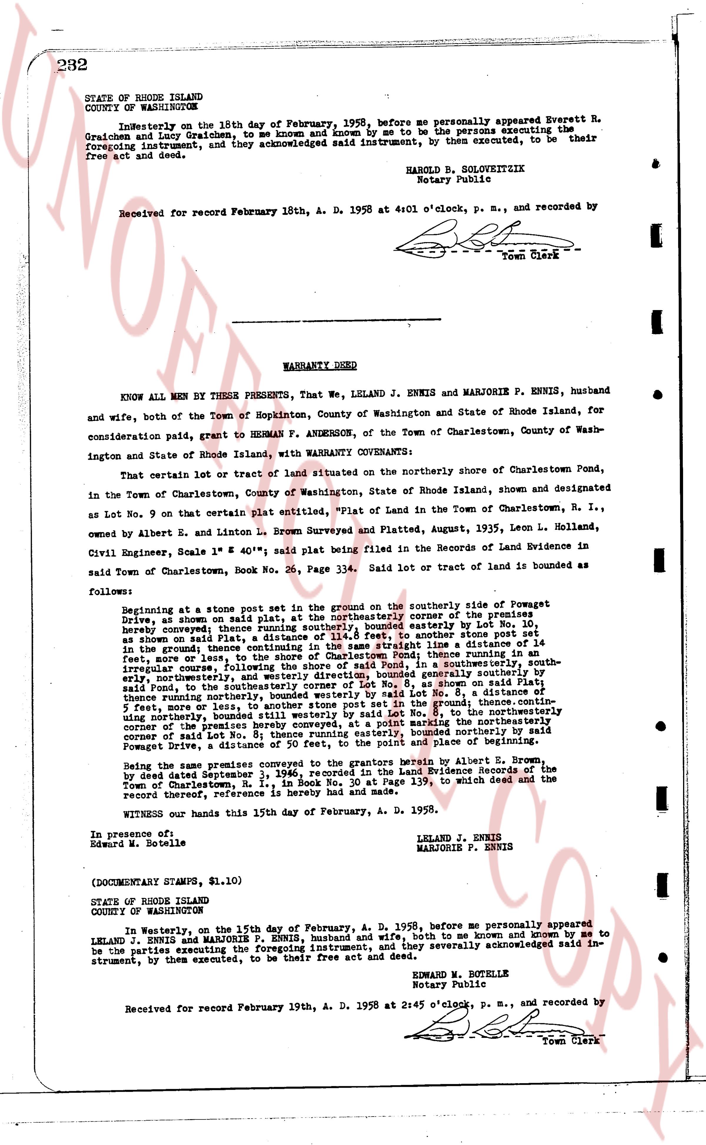
In Westerly on the 18th day of February, 1958, before me personally appeared Everett R. Graichen and Iocy Graichen, to me known and known by me to be the persons executing the foregoing instrument, and they acknowledged said instrument, by them executed, to be their free act and deed.
HAROLD B. SOLOWRITZIK
Notary Public
Received for record February 18th, A. D. 1958 at 4:01 o'clock, p. m., and recorded by
[signature]
Town Clerk
----
WARRANTY DEED
KNOW ALL MEN by THESE PRESENTS, That we, LELAND J. ENNIS and MARJORIE P. ENNIS, husband and wife, both of the Town of Hopkinton, County of Washington and State of Rhode Island, for consideration paid, grant to HERMAN F. ANDERSON, of the Town of Charlestown, County of Washington and State of Rhode Island, with WARRANTY COVENANTS:
That certain lot or tract of land situated on the northerly shore of Charlestown Pond, in the Town of Charlestown, County of Washington, State of Rhode Island, shown and designated as Lot No. 9 on that certain plat entitled, "Plat of Land in the Town of Charlestown, R. I., owned by Albert E. and Linton L. Brown Surveyed and Platted, August, 1935, Leon L. Holland, Civil Engineer, Scale 1" = 40'", said plat being filed in the Records of Land Evidence in said Town of Charlestown, Book No. 26, Page 234. Said lot or tract of land is bounded as follows:
Beginning at a stone post set in the ground on the southerly side of Powegat Drive, as shown on said plat, at the northwesterly corner of the premises described herein; thence running northerly, bounded easterly by Lot No. 8, as shown on said plat, to the northwesterly corner of said Lot No. 8, to another stone post set in the ground; thence running continuing in the same straight line a distance of 151 feet, more or less, to the shore of said pond, thence running courseling in an irregular curve, following the shore of said pond, to a stone post in the ground, said boundary southerly, thence running courseling in the same straight line, bounded southerly by said Lot No. 8, as shown on said Plat, to the southeasterly corner of said Lot No. 8, a distance of 151 feet, more or less, thence running northerly, bounded westerly by said Lot No. 8, a distance of 55 feet, more or less, to the stone post set in the ground; thence running courseling in an irregular curve, northerly, bounded still westerly by said Lot No. 8, to the northwesterly corner of the premises described herein; thence running easterly, bounded northerly by said Powegat Drive, to a distance of 151 feet, to a stone post set in the ground and place of beginning.
Being the same lot conveyed to the grantors herein by Albert E. Brown by deed dated September 3, 1946, recorded in the Land Evidence Records of the Town of Charlestown, R. I., in Book No. 1, at Page 139, to which deed and the record thereof, referenced herein is hereby made.
Witness our hands this 15th day of February, A. D. 1958.
In presence of:
Edward M. Botelle
LELAND J. ENNIS
MARJORIE P. ENNIS
(DOCUMENTARY STAMPS, $1.10)
STATE OF RHODE ISLAND
COUNTY OF WASHINGTON
In Westerly, on the 15th day of February, A. D. 1958, personally appeared LELAND J. ENNIS and MARJORIE P. ENNIS, husband and wife, both to me known and known by me to be the parties executing the foregoing instrument, and they severally acknowledged said instrument, by them executed, to be their free act and deed.
EDWARD M. BOTELLE
Notary Public
Received for record February 19th, A. D. 1958 at 2:45 o'clock, p. m., and recorded by
[signature]
Town Clerk
The page as recorded