The instrument's own words
page 1 · read by Gemma vision
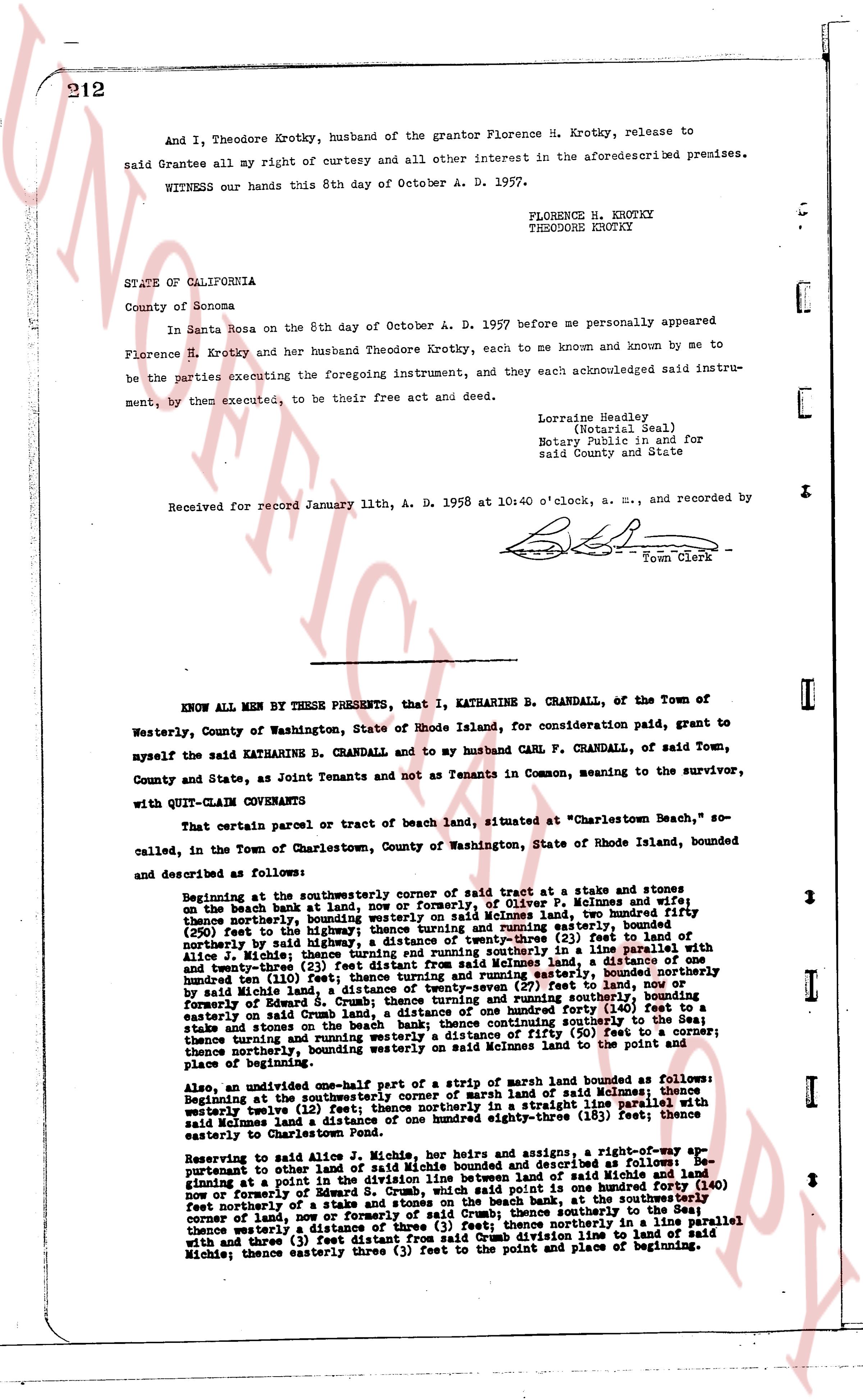
212
And I, Theodore Krotky, husband of the Grantor Florence H. Krotky, release to
said Grantee all my right of curtesy and all other interest in the aforesaiddescribed premises.
WITNESS our hands this 8th day of October A. D. 1957.
FLORENCE H. KROTKY
THEODORE KROTKY
STATE OF CALIFORNIA
County of Sonoma
In Santa Rosa on the 8th day of October A. D. 1957 before me personally appeared
Florence H. Krotky and her husband Theodore Krotky, each to me known and known by me to
be the parties executing the foregoing instrument, and they each acknowledged said instru-
ment, by them executed, to be their free act and deed.
Lorraine Headley,
(Notarial Seal)
Notary Public in and for
said County and State
Received for record January 11th, A. D. 1958 at 10:40 o'clock, a. m., and recorded by
[Signature]
Town Clerk
----
KNOW ALL MEN BY THESE PRESENTS, that I, KATHARINE B. CRANDALL, of the Town of
Westerly, County of Washington, State of Rhode Island, for consideration paid, grant to
myself the said KATHARINE B. CRANDALL and to my husband CARL F. CRANDALL, of said Town,
County and State, as Joint Tenants and not as Tenants in Common, meaning to the survivor,
with QUIT-CLAIM CONVEYANCE
That certain parcel or tract of beach land, situated at "Charlestown Beach," so
called, in the Town of Charlestown, County of Washington, State of Rhode Island, bounded
and described as follows:
Beginning at the southeasterly corner of said tract at a stake and stones on
the beach bulk head at land, now or formerly, of Oliver P. Peltonnes and wife
thence northerly, bounding said waterway, by said bulk head, bounding said fifty
(50) feet in the highway, then thence turning and running easterly, bounded
northerly by said highway, a distance of twenty-three (23) feet to a line parallel
with a line of J. Michie bounding said tract on the easterly line in a line parallel with and
twenty-three (23) feet distant from said Peltonnes land, a distance of one
hundred ten (110) feet then thence turning and running westerly, bounded northerly
by said Michie land, a distance of twenty-seven (27) feet to land, now or
formerly of Edward S. Crum, bounding said tract on the northerly line,
easterly on said Crum land, a distance of one hundred forty (140) feet to a
stake and stones on the beach bulk head, then running southerly, bounding said
tract, thence turning and running westerly a distance of fifty (50) feet to a corner;
thence northerly, bounding westerly on said Peltonnes land to the point and
place of beginning.
Also, an undivided one-half part of a strip of marsh land bounded as follows:
Beginning at the southeasterly corner of a strip of marsh land of said Peltonnes
westerly twelve (12) feet, then northerly in a straight line parallel with
said Peltonnes land a distance of one hundred eighty-three (183) feet; thence east
easterly to Charlestown Beach.
Reserving to said Alice J. Michie, her heirs and assigns, a right-of-way ap-
pertaining to other land of said Michie bounded and described as follows: be-
ginning at a point in the southeasterly corner of land of said Michie and land
now or formerly of Edward S. Crum, which point is said one hundred forty (140)
feet northerly of a stake and stones on the beach bulk head, thence running north
feet northerly of a stake and stones on the beach bulk head, thence running north
corner of land, now or formerly, of said Crum; thence southerly to the Sea;
thence westerly a distance of three (3) feet; thence northerly in a line parallel
with and three (3) feet distant from the easterly line line to land of said
Michie; thence easterly three (3) feet to the point and place of beginning.
page 2 · read by Gemma vision
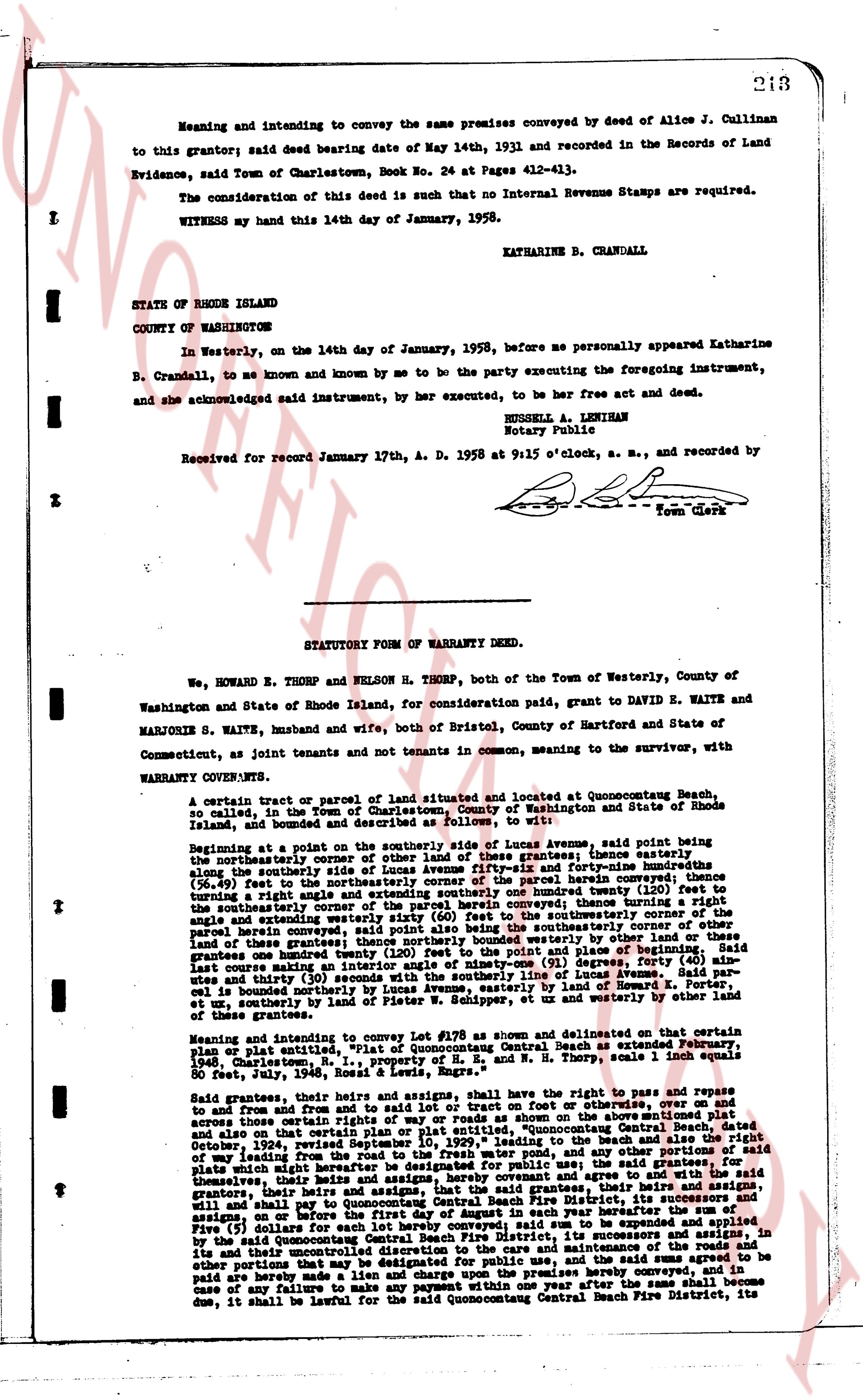
Meaning and intending to convey the same premises conveyed by deed of Alice J. Cullinan to this grantor; said deed bearing date of May 14th, 1931 and recorded in the Records of Land Evidence, said Town of Charlestown, Book No. 24 at Pages 412-413.
The consideration of this deed is such that no Internal Revenue Stamps are required.
WITNESS my hand this 14th day of January, 1958.
KATHARINE B. CRANDALL
STATE OF RHODE ISLAND
COUNTY OF WASHINGTON
In Westerly, on the 14th day of January, 1958, before me personally appeared Katharine B. Crandall, to me known and known by me to be the party executing the foregoing instrument, and she acknowledged said instrument, by her executed, to be her free act and deed.
RUSSELL A. LENIHAN
Notary Public
Received for record January 17th, A. D. 1958 at 9:15 o'clock, a. m., and recorded by [?] Town Clerk
----
STATUTORY FORM OF WARRANTY DEED.
We, HOWARD E. THORP and NELSON H. THORP, both of the Town of Westerly, County of Washington and State of Rhode Island, for consideration paid quit, grant to DAVID E. WAITE and MARJORIE S. WAITE, husband and wife, both of Bristol, County of Hartford and State of Connecticut, as joint tenants and not tenants in common, meaning to the survivor, with WARRANTY CONVEYS QUITS.
A certain tract or parcel of land situated and located at Quonocontaug Beach, so called, in the Town of Charlestown, County of Washington and State of Rhode Island, bounded and described as follows: [?] to wit:
Beginning at a point on the southerly side of Lucas Avenue, said point being the northeasterly corner of other of land these grantees; thence easterly along the southerly side of Lucas Avenue to the intersection of said Avenue with the [?] (26.40) feet in the southerly direction, the corner of the parcel herein conveyed; then turning a right angle and extending southerly one hundred twenty three feet; thence turning a right angle and extending westerly sixty (60) feet to the southerly corner of the boundary of other land these grantees; thence northerly one hundred twenty three feet to the northeasterly corner of other land these grantees; thence northerly bounded by westerly other land or these grantees one hundred feet; thence easterly along the southerly side of Lucas Avenue said last course making an interior angle of ninety-one (91) degrees, party forty (40) minutes and thirty (30) seconds, to the point of beginning of Lucas Avenue; the said parcel is bounded northerly by Lucas Avenue, easterly by other land of Howard E. Thorp, et un, southerly by land of Peter W. Schidlof, ex of us westerly by other land of these grantees.
Meaning and intending to convey in lot #270 as shown on detailed survey map or plan plat, "Plat of Quonocontaug Central Beach as extended February, 1948", Charlestown, R.I. signed by R.A. & N. H. Thorp, scale 1 inch equals 80 feet, July, 1946, Ross & Lewis, Regs.
Said grantees, their heirs and assigns, shall have the right to pass and repass to and upon and over there in and upon the streets or foot on or overwise, over and on and across those certain streets of ways of right or ways as shown and described on the said plat, "Plat of Quonocontaug Central Beach", dated October 24, 1924, revised September 10, 1929, leading to the beach and the also the right of way leading from Lucas Avenue to the beach and any other streets or ways on said plate which might hereafter be designated for public use; the said grantees, for themselves their heirs and assigns, further covenant and agree that they, their heirs and assigns, that the grantees, their heirs and assigns, shall pay to the Quonocontaug Central Beach Fire District, its successors and assigns, in the said (5) Dollars for each lot hereby conveyed, on or before the first day of August in each year hereafter the sum of Five (5) dollars for each lot hereby conveyed, to be used by the said District, its successors and assigns, in its uncontrolled discretion to the care and maintenance of the fire equipment, and said sums agreed to be other portions that the said sum of Five (5) dollars, and said sums agreed to be paid are hereby made a lien and charge upon the premises hereby conveyed, and in case any failure to pay the said sum of Five (5) dollars after the first day of September since due, it shall be lawful for the said Quonocontaug Central Beach Fire District, its
The page as recorded