The instrument's own words
page 1 · read by Gemma vision
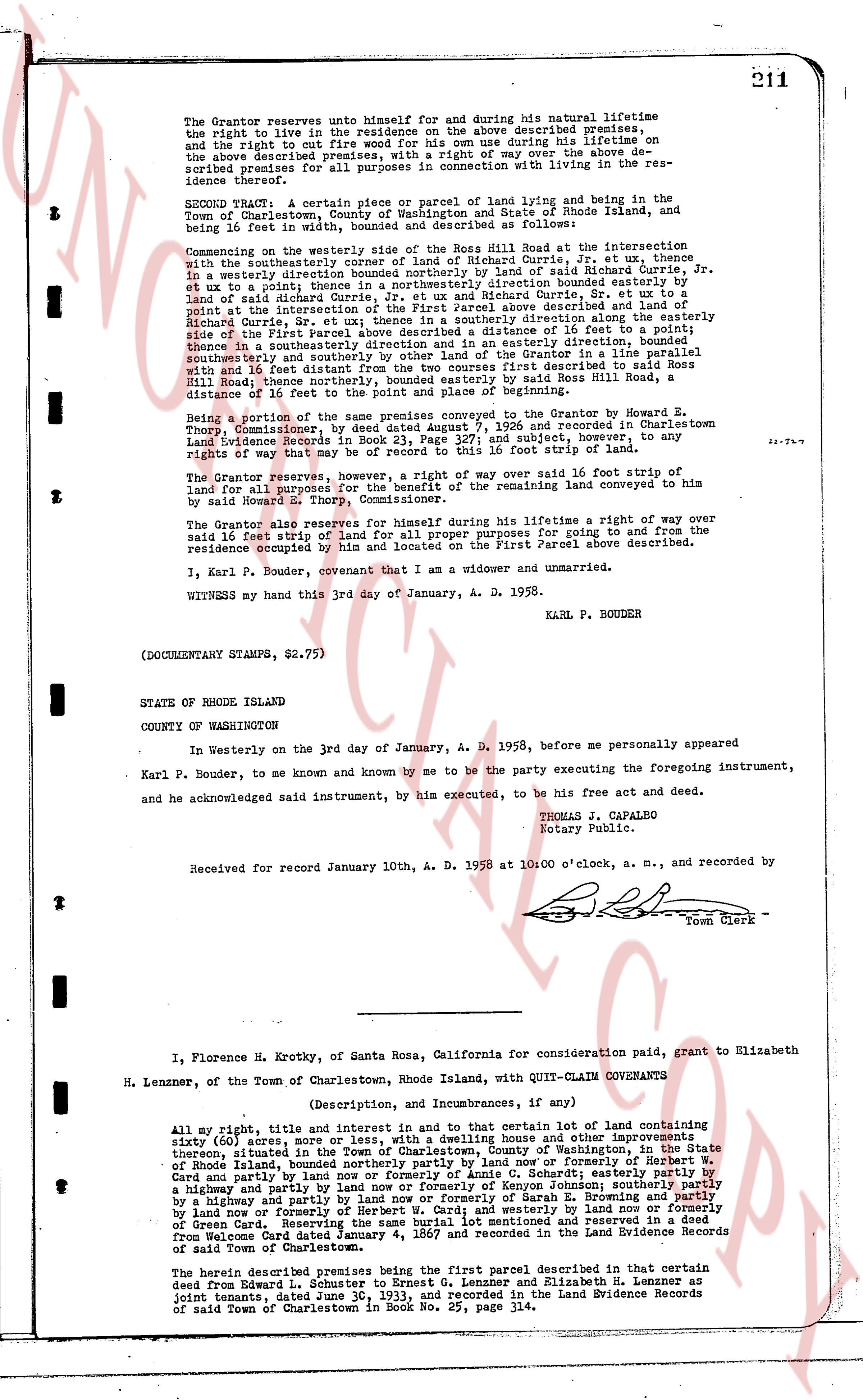
211
The Grantor reserves unto himself for and during his natural lifetime the right to live in the residence on the above described premises; and the right to cut fire wood for his own use during his lifetime "on the above described premises" and a right of way over the above described premises for all purposes in connection with living in the residence thereof.
SECOND Parcel. A certain piece or parcel of land lying and being within the Town of Charlestown, County of Washington and State of Rhode Island, and being 16 feet in width, bound and described as follows:
Commencing on the westerly side of the road called Hill Road at the intersection with the southeasterly corner of a lot of land of Richard Currie, Jr. et ux, thence in a westerly direction bounded northerly by land of said Richard Currie, Jr. et ux and in a westerly direction bounded southerly by land of said Richard Currie, Jr. et ux to a point, the aforesaid lot being bounded easterly by land of Richard Currie, Jr. et ux and platly [?] indicated on the above described map, and thence in a southeasterly direction, Sr. et ux; then in a southeasterly direction along the easterly side of the First Parcel above described, a distance of 16 feet to a point, thence in a southeasterly direction and in an easterly direction, bounded southeasterly by land of said Richard Currie, Jr. et ux and in a easterly direction with 16 feet distance from the two courser first described to said Ross Hill Road, thence northerly, bounded easterly by said Ross Hill Road, a distance of 16 feet to the point of place of beginning.
Being a portion of the same premises conveyed to the Grantor by Howard E. Thorp, Commissioner, by deed dated August 7, 1926 and recorded in Charlestown Land Evidence Records in Book 23, page 111 and reserved to, and conveyed to, any rights of way that may be of record to this 16 foot strip of land.
The Grantor reserves, however, a right of way over said 16 foot strip of land for all purposes in connection with the use of the remaining land conveyed to him by said Howard E. Thorp, Commissioner.
The Grantor also reserves for himself during his lifetime a right of way over said 16 feet strip of land for all proper purposes for going to and from the residence occupied by him and located on the First Parcel above described.
I, Karl P. Bouder, covenant that I am a widower and unmarried.
WITNESS my hand this 3rd day of January, A. D. 1958.
KARL P. BOUDER
(DOCUMENTARY STAMPS, $2.75)
STATE OF RHODE ISLAND
COUNTY OF WASHINGTON
In Westerly on the 3rd day of January, A. D. 1958, before me personally appeared Karl P. Bouder, to me known and known by me to be the party executing the foregoing instrument, and he acknowledged said instrument, by him executed, to be his free act and deed.
TOMAS J. CAPALBO
Notary Public.
Received for record January 10th, A. D. 1958 at 10:00 o'clock, a. m., and recorded by
[Signature]
Town Clerk
----
I, Florence H. Krotky, of Santa Rosa, California for consideration paid, grant to Elizabeth H. Lenzner, of the Town of Charlestown, Rhode Island, with QUIT-CLAIM COVENANTS
(Description, and Incumbrances, if any)
All my right, title and interest in and to that certain lot of land containing sixty (60) acres more or less, with a dwelling house and other improvements thereon, situated in the Town of Charlestown, County of Washington, in the State of Rhode Island, bounded northerly by land now or formerly of Herbert W. Card and partly by a highway; bounded easterly by a highway and partly by land now or formerly of Kenyon Johnson; southerly partly by a highway and partly by land now or formerly of Samuel B. Henning; westerly partly by land now or formerly of Herbert W. Card; and westerly by land now or formerly of Green Card, the same premises having been conveyed and passed to me as heir from Horace Card by deed dated January 4, 1867 and recorded in the Land Evidence Records of said Town of Charlestown.
The herein described premises being the first parcel described in that certain deed from Edward L. Johnson to Ernest G. Lenzner and Elizabeth H. Lenzner as joint tenants, dated June 30, 1933, and recorded in the Land Evidence Records of said Town of Charlestown in Book No. 25, page 314.
page 2 · read by Gemma vision
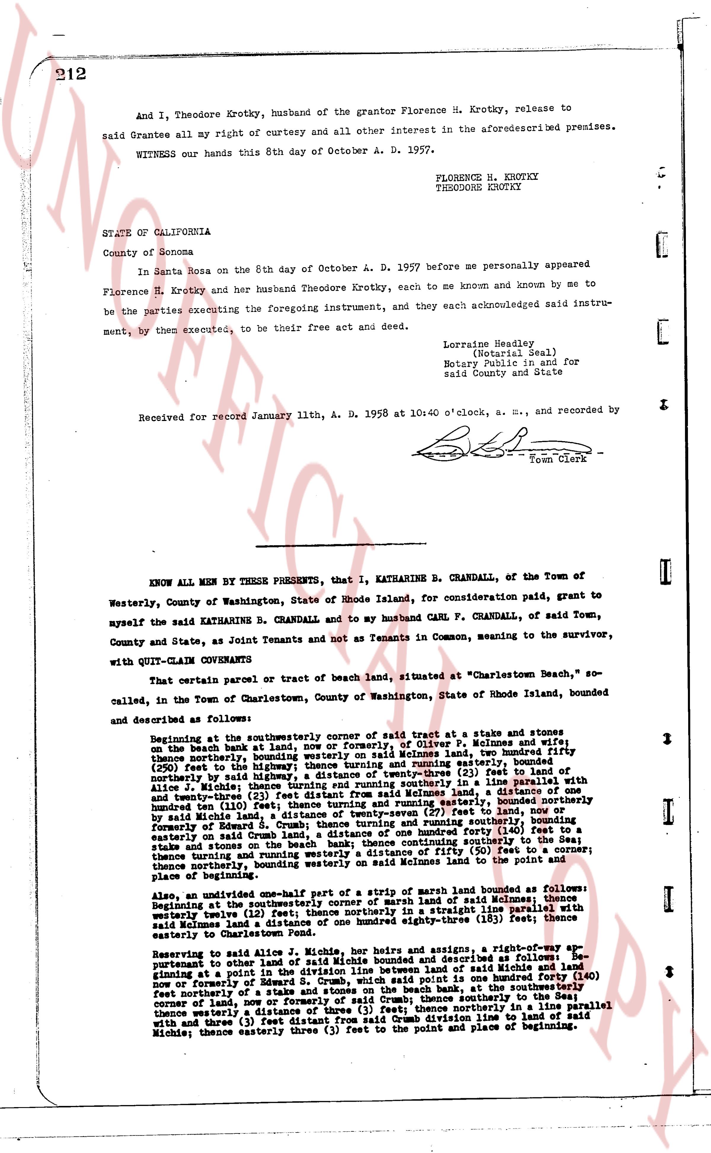
212
And I, Theodore Krotky, husband of the grantor Florence H. Krotky, release to
said Grantee all my right of curtesy and all other interest in the aforesaiddescribed premises.
WITNESS our hands this 8th day of October A. D. 1957.
FLORENCE H. KROTKY
THEODORE KROTKY
STATE OF CALIFORNIA
County of Sonoma
In Santa Rosa on the 8th day of October A. D. 1957 before me personally appeared
Florence H. Krotky and her husband Theodore Krotky, each to me known and known by me to
be the parties executing the foregoing instrument, and they each acknowledged said instru-
ment, by them executed, to be their free act and deed.
Lorraine Headley,
(Notarial Seal)
Notary Public in and for
said County and State
Received for record January 11th, A. D. 1958 at 10:40 o'clock, a. m., and recorded by
[Signature]
Town Clerk
----
KNOW ALL MEN BY THESE PRESENTS, that I, KATHARINE B. CRANDALL, of the Town of
Westerly, County of Washington, State of Rhode Island, for consideration paid, grant to
myself the said KATHARINE B. CRANDALL and to my husband CARL F. CRANDALL, of said Town,
County and State, as Joint Tenants and not as Tenants in Common, meaning to the survivor,
with QUIT-CLAIM CONVEYANCE
That certain parcel or tract of beach land, situated at "Charlestown Beach," so
called, in the Town of Charlestown, County of Washington, State of Rhode Island, bounded
and described as follows:
Beginning at the southeasterly corner of said tract at a stake and stones on
the beach bank at low water, now or formerly, of Oliver P. Meimies and wife
thence northerly, bounding westly on said Meimies land, boundly fifty
(50) feet to the highest point of the beach, thence turning and easterly, bounded
northerly by said highway, a distance of twenty-three (23) feet to a stake on
fleece [?] Meimies land, thence turning and northerly in a line parallel with
and twenty-three (23) feet distant from said Meimies land, a distance of one
hundred ten (110) feet to a stake and stones, bounding easterly, bounded northerly
by said Meimies land, a distance of twenty-seven (27) feet to land, now or
formerly of Edward S. Crum, thence turning and southeasterly, bounding easterly
on said Crum land, a distance of one hundred forty (140) feet to a
stake and stones on the beach bank at low water, continuing south easterly,
thence turning and running southeasterly a distance of fifty (50) feet to a corner;
thence northerly, bounding westerly on said Meimies land to the point and
place of beginning.
Also, an undivided one-half part of a strip of marsh land bounded as follows:
Beginning at the southeasterly corner of a strip of marsh land of said Meimies
westerly twelve (12) feet, then northerly in a straight line parallel with
said Meimies land a distance of one hundred eighty-three (183) feet; thence east
easterly to Charlestown Beach.
Reserving to said Alice J. Michie, her heirs and assigns, a right-of-way ap-
pertaining to other land of said Michie bounded and described as follows: be-
ginning at a point in the beach bank at low water, land of said Michie and land
now or formerly of Edward S. Crum, which point is said point one hundred forty (140)
feet northerly of a stake and stones, bounding back the southeasterly corner
of land of Meimies, now or formerly, of said Crum; thence southerly to the Sea;
thence westerly a distance of three (3) feet; thence northerly in a line parallel
with and three (3) feet easterly of the easterly line line to land of said
Michie; thence easterly three (3) feet to the point and place of beginning.
The page as recorded