The instrument's own words
page 1 · read by Gemma vision
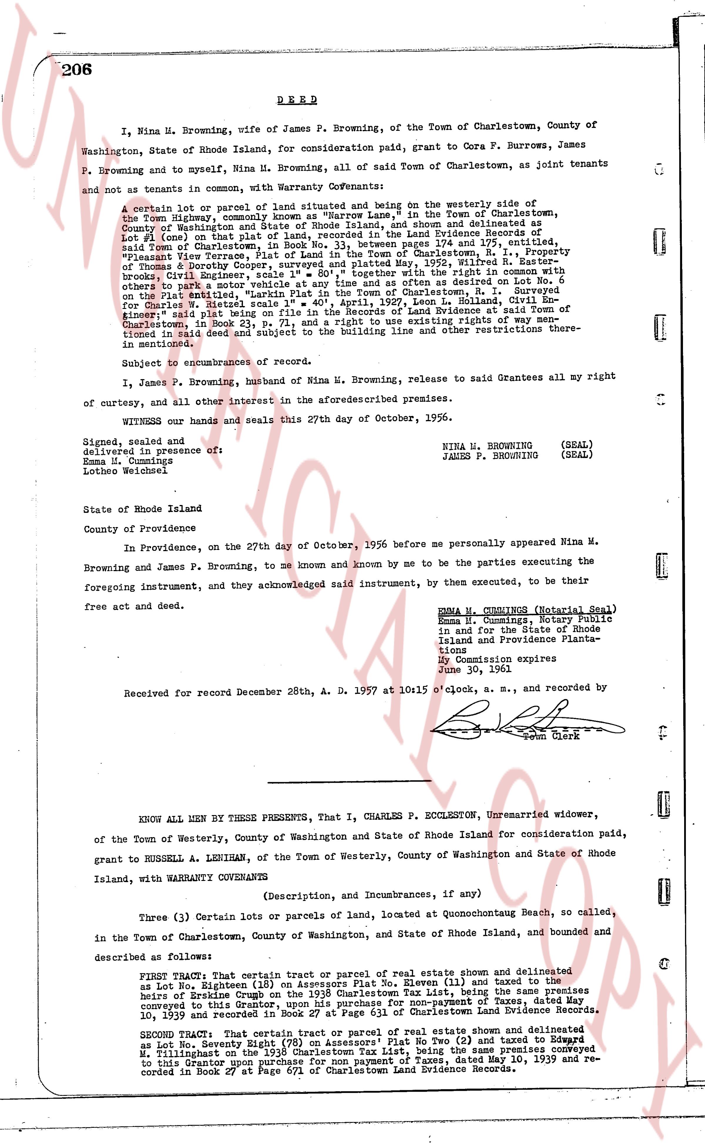
206 DEED
I, Nina M. Browning, wife of James P. Browning, of the Town of Charlestown, County of Washington, State of Rhode Island, for consideration paid, grant to Cora F. Burrows, James P. Browning and to myself, Nina M. Browning, all of said Town of Charlestown, as joint tenants and not as tenants in common, with Warranty Covenants:
A certain lot or parcel of land situated and being on the westerly side of the Ninigret highway, commencing at a point on the North side of said Line, in the Town of Charlestown, County of Washington and State of Rhode Island, and shown and delineated as Lot (one) in a plan made by R. Easterly, Civil Engineer, and recorded in the Land Evidence Records of said Town of Charlestown, in Book No. 33, between pages 174 and 175, entitled, "Pleasant View Terrace, a subdivision of land in Charlestown, R.I.", the said Lot being bounded on the north by land of Mrs. Dorothy Cooper, surveyed and platted May, 1952, Wilfred R. Easterly, of Rhode Island, on the east by the Ninigret highway, with the right to use in common with others a path to access my vehicle at any time and as often as desired on set Lot No. 6 on the plat entitled, "Parklin Plat in the Town of Charlestown, R.I.", surveyed by R. Easterly, Civil Engineer, and recorded April 25, 1957, Leon L. Holland, Civil Engineer, said plat being on file in the Records of Land Evidence said Town of Charlestown in book 34 page 111, on the south by the existing right of way mentioned in said deed and subject to the building line and office other restrictions there mentioned in mentioned.
Subject to encumbrances of record.
I, James P. Browning, husband of Nina M. Browning, release to said Grantees all my right of curtesy, and of all other interest in the aforementioned premises.
WITNESS our hands and seals this 27th day of October, 1956.
Signed, sealed and delivered in the presence of:
Emma M. Cummings
Lothoe Weichseel NINA M. BROWNING (SEAL)
JAMES P. BROWNING (SEAL)
State of Rhode Island
County of Providence
In Providence, on the 27th day of October, 1956 before me personally appeared Nina M. Browning and James P. Browning, to me known and known by me to be the parties executing the Browning and James P. Browning, to me known and known by me to be the parties executing the foregoing instrument, and they acknowledged said instrument, by them executed, to be their free act and deed.
EMMA M. CUMMINGS (Notarial Seal)
Emma M. Cummings, Notary Public
in and for the State of Rhode
Island and Providence Plantations
My Commission expires
June 30, 1961
Received for record December 28th, A. D. 1957 at 10:15 o'clock, a. m., and recorded by
[?] Clerk
----
KNOW ALL MEN BY THESE PRESENTS, That I, CHARLES P. ECCLESTON, Unmarried widower, of the Town of Westerly, County of Washington and State of Rhode Island for consideration paid, grant to RUSSELL A. LENIHAN, of the Town of Westerly, County of Washington and State of Rhode Island, with WARRANTY COVENANTS
(Description, and Incumbrances, if any)
Three (3) Certain lots or parcels of land, located at Quonochontaug Beach, so called, in the Town of Charlestown, County of Washington, and State of Rhode Island, and bounded and described as follows:
FIRST TRACT: That certain Tract or parcel of real estate shown and delineated as Lot No. Eighteen (18) on Assessors Plat No. Eleven (11) and taxed to the heirs of Beatrice Crugh on the 1938 Charlestown Tax List, being the same premises conveyed to this Grantor, upon his purchase for non-payment of Taxes, dated May 10, 1939 and recorded in Book 27 at Page 671 of Charlestown Land Evidence Records.
SECOND TRACT: That certain tract or parcel of real estate shown and delineated as Lot No. Seventy Eight (78) on Assessors' Plat No Two (2) and taxed to Edward M. Tillleighs on the 1938 Charlestown Tax List, being the same premises conveyed to this Grantor upon purchase for non payment of Taxes, dated May 10, 1939 and recorded in Book 27 at Page 671 of Charlestown Land Evidence Records.
page 2 · read by Gemma vision
207
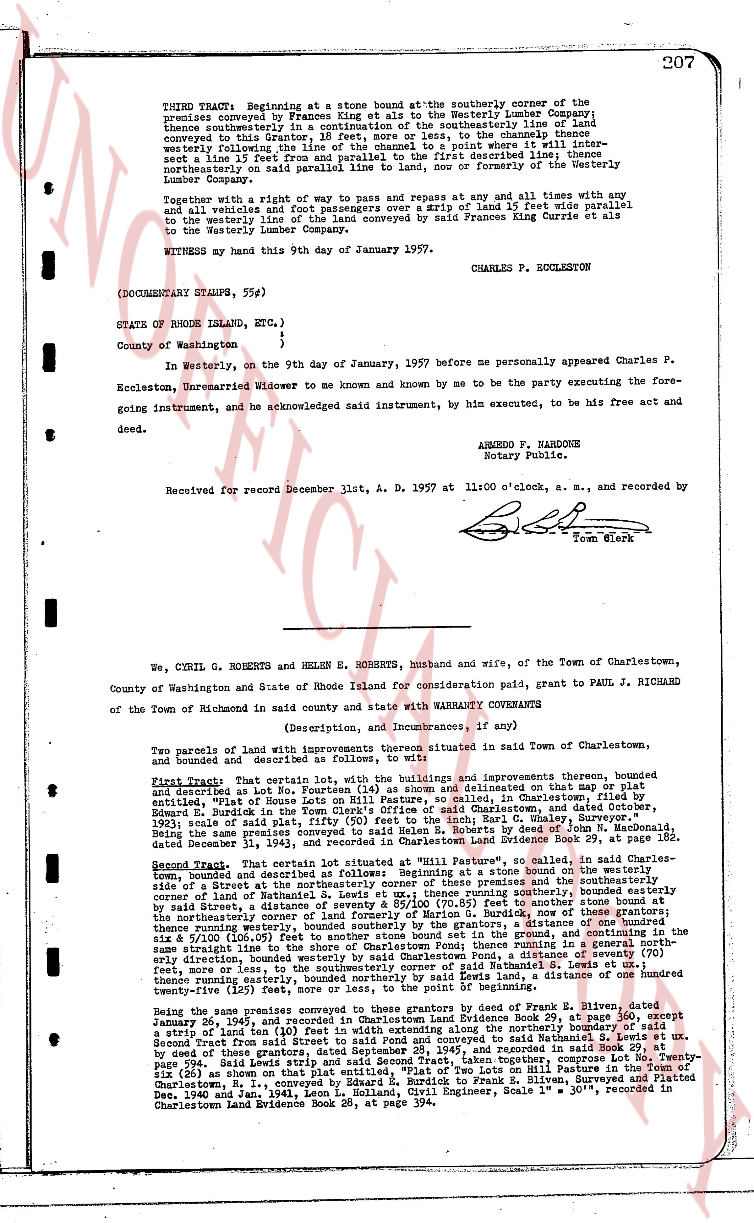
THIRD TRACT: Beginning at a stone bound at the southerly corner of the
premises conveyed by Frances King et als to the Westerly Lumber Company;
thence southeasterly in a continuation of the southeasterly line of land
conveyed in this instrument a distance of 110 feet, to the channel thence
westerly following the line of the channel to the point where it inter-
sect a line 15 feet from and parallel to the first described line; thence
northwesterly on said line a distance of 110 feet to a stone or formerly of the Westerly
Lumber Company.
Together with a right of way to pass and repass at any and all times with any
and all vehicles and foot passengers over a strip of land 15 feet wide parallel
to the westerly line of the land conveyed by said Frances Currie et als
to the Westerly Lumber Company.
WITNESS my hand this 9th day of January 1957.
CHARLES P. ECCLESTON
(DOCUMENTARY STAMPS, 55¢)
STATE OF RHODE ISLAND, ETC. {
}
County of Washington {
In Westerly, on the 9th day of January, 1957 before me personally appeared Charles P.
Eccleston, Unmarried Widower to me known and by me to be the party executing the fore-
going instrument, and he acknowledged said instrument, by him executed, to be his free act and
deed.
ARMEDO F. NARDONE
Notary Public.
Received for record December 1st, A. D. 1957 at 11:00 o'clock, a. m., and recorded by
[Signature]
Town Clerk
----
We, CYRIL G. ROBERTS and HELEN E. ROBERTS, husband and wife, of the Town of Charlestown,
County of Washington and State of Rhode Island for consideration paid, grant to PAUL J. RICHARD
of the Town of Richmond in said county and state with WARRANTY COVENANTS
(Description, and Incumbrances, if any)
Two parcels of land with improvements thereon situated in said Town of Charlestown,
and bounded and described as follows, to wit:
First Tract: That certain parcel containing all the buildings and improvements thereon, bounded
and described as Lot No. Fourteen (14) as shown and delineated on that map or plat
entitled, "Plot of House Lots on Hill Pasture", in Charlestown, RI, in the name of Charles
Edward L. Burnside and recorded in the land evidence of said Charlestown, and dated October,
1931; scale of said plot, fifty (50) feet to the inch; Earl C. White, Naval Engineer,
dated December 31, 1931 and recorded in Charlestown Land Evidence Book 29, at page 182.
Second Tract: That certain lot situated at "Hill Pasture", so called, in said Charles-
town, bounded and described as follows: Beginning at a stone bound at the northwesterly
side of a Street the northeasterly corner of these premises and the southeasterly
corner of land of Nathaniel S. Lewis, running southeasterly a distance of 110 feet
by said Street, a distance of seventy & 85/100 (70.85) feet to another stone bound at the
northeasterly corner of land of Former owners, thence running southeasterly a distance of one hundred
thence running easterly, bounded by sewers property by the grantors, a distance of one hundred
the six x 9/100 (106.05) feet to another stone bound set in the ground, thence running northerly
a distance of 110 feet to a stone bound set in the ground, thence running in a general north-
sterly direction, bounded westerly by said Charlestown Pond, a distance of seventy (70)
feet, more or less, to the point of beginning; and also including a strip of land running in a general north-
thence running easterly, bounded northerly by said Lewis, a distance of one hundred
twenty-five (125) feet, more or less.
Being the same premises conveyed to these grantors by deed of Frank E. Bitten, dated
January 26, 1945, and recorded in Charlestown Land Evidence Book 29, at page 360, except
a strip of land ten (10) feet wide along the street; and also including a parcel of land described in
Second Tract from this deed said Pond and conveyed to said Nathaniel S. Lewis et ux.
page 994, said Lewis conveyed the same to the grantors of this Second Tract, taken together, comprise Lot No. Twenty-
six (26) as shown on that plat entitled, "Plot of Two Lots on Hill Pasture", in Charlestown, RI,
completed Jan. 1, 1941, by Leon L. Holland, Civil Engineer, Surveyed and Platted
Dec. 10, 1940 and Jan. 1941, Leon L. Holland, Civil Engineer, Scale 1" = 30', recorded in
Charlestown Land Evidence Book 29, at page 394.
The page as recorded