The instrument's own words
page 1 · read by Gemma vision
199
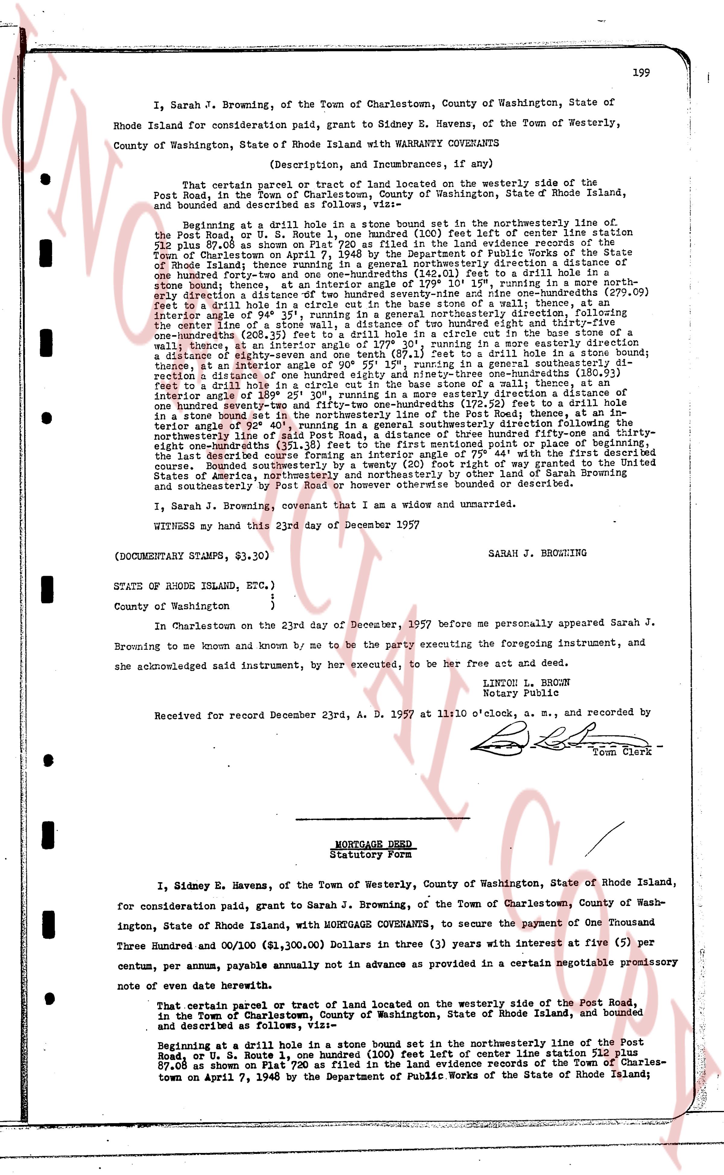
I, Sarah J. Browning, of the Town of Charlestown, County of Washington, State of Rhode Island land for consideration paid, grant to Sidney E. Havens, of the Town of Westerly, County of Washington, State of Rhode Island with WARRANTY COVENANTS
(Description, and Incumbrances, if any)
That certain parcel or tract of land located on the westerly side of the Post Road, in the Town of Charlestown, County of Washington, State of Rhode Island, and bounded and described as follows:
Beginning at a drill hole in a stone bound set in the northwesterly line of the Post Road, or U. S. Route 1, one hundred (100) feet left of center line center station 512 plus 87.08 as shown on Plat 720 as filed in the land evidence records of the Town of Charlestown on April 7, 1948 by the Department of Public Works of the State of Rhode Island thence running in a generally southeasterly direction a distance of one hundred forty-four (144) feet to a drill hole in a stone bound thence, at an interior angle of 109° 19' 10", running in a southwesterly direction a distance of one hundred twenty-nine (129) feet to the nine month-stones (279.09) feet to a drill hole in a circle cut in the base stone of a wall thence, at an interior angle of 82° 51' 10", running in a generally easterly direction to the center line of a stone wall, a distance of two hundred eighty-three and thirty-five one-hundredths (283.35) feet to a drill hole in a circle cut in the base stone of a wall, thence, at an interior angle of 170° 39', running in a more easterly direction a distance of one hundred twenty-nine (129) feet to a drill hole in a circle cut in the base stone, at an interior angle of 90° 55' 19", running in a generally southeasterly direction a distance of one hundred forty-four (144) feet to a drill hole in a stone bound thence, at an interior angle of 108° 25' 30", running in a circle cut in the base stone of a wall, a distance of one hundred twenty-nine (129) feet to the nine month-stones (172.52) feet to a drill hole in a stone bound set in the northwesterly line of the Post Road, thence at an interior angle of 80° 55' 10" running in a generally northeasterly direction to the northwesterly line of said Post Road, a distance of three hundred fifty-one and thirty-eight one-hundredths (351.38) feet to the point of beginning, the last described course forming an interior angle of 75° 44' with the first described course; Bounded southwesterly by the Post Road, and otherwise by land of my successors and assigns, United States of America, northwesterly and northeasterly by other land of Sarah Browning and southeasterly by Post Road or however otherwise bounded or described.
I, Sarah J. Browning, covenant that I am a widow and unmarried.
WITNESS my hand this 23rd day of December 1957
(DOCUMENTARY STAMPS, $3.30)
SARAH J. BROWNING
STATES OF RHODE ISLAND, ETC.)
)
County of Washington )
In Charlestown on the 23rd day of December, 1957 before me personally appeared Sarah J. Browning to me known and known by me to be the party executing the foregoing instrument, and she acknowledged said instrument, by her executed, to be her free act and deed.
LINTON L. BROWN
Notary Public
Received for record December 23rd, A. D. 1957 at 11:50 o'clock, a. m., and recorded by
[Signature]
Tom Clerk
----
MORTGAGE DEED
Statutory Form
I, Sidney E. Havens, of the Town of Westerly, County of Washington, State of Rhode Island, for consideration paid, grant to Sarah J. Browning, of the Town of Charlestown, County of Washington, State of Rhode Island, with MORTGAGE COVENANTS, to secure the payment of One Thousand Three Hundred and 00/100 ($1,300.00) Dollars in three (3) years with interest at five (5) per centum, per annum, payable annually not in advance as provided in a certain negotiable promissory note of even date herewith.
That certain parcel or tract of land located on the westerly side of the Post Road, in the Town of Charlestown, County of Washington, State of Rhode Island, and bounded and described as follows:
Beginning at a drill hole in a stone bound set in the northwesterly line of the Post Road, or U. S. Route 1, one hundred (100) feet left of center line center station 512 plus 87.08 as shown on Plat 720 as filed in the land evidence records of the Town of Charlestown on April 7, 1948 by the Department of Public Works of the State of Rhode Island;
The page as recorded