The instrument's own words
page 1 · read by Gemma vision
183
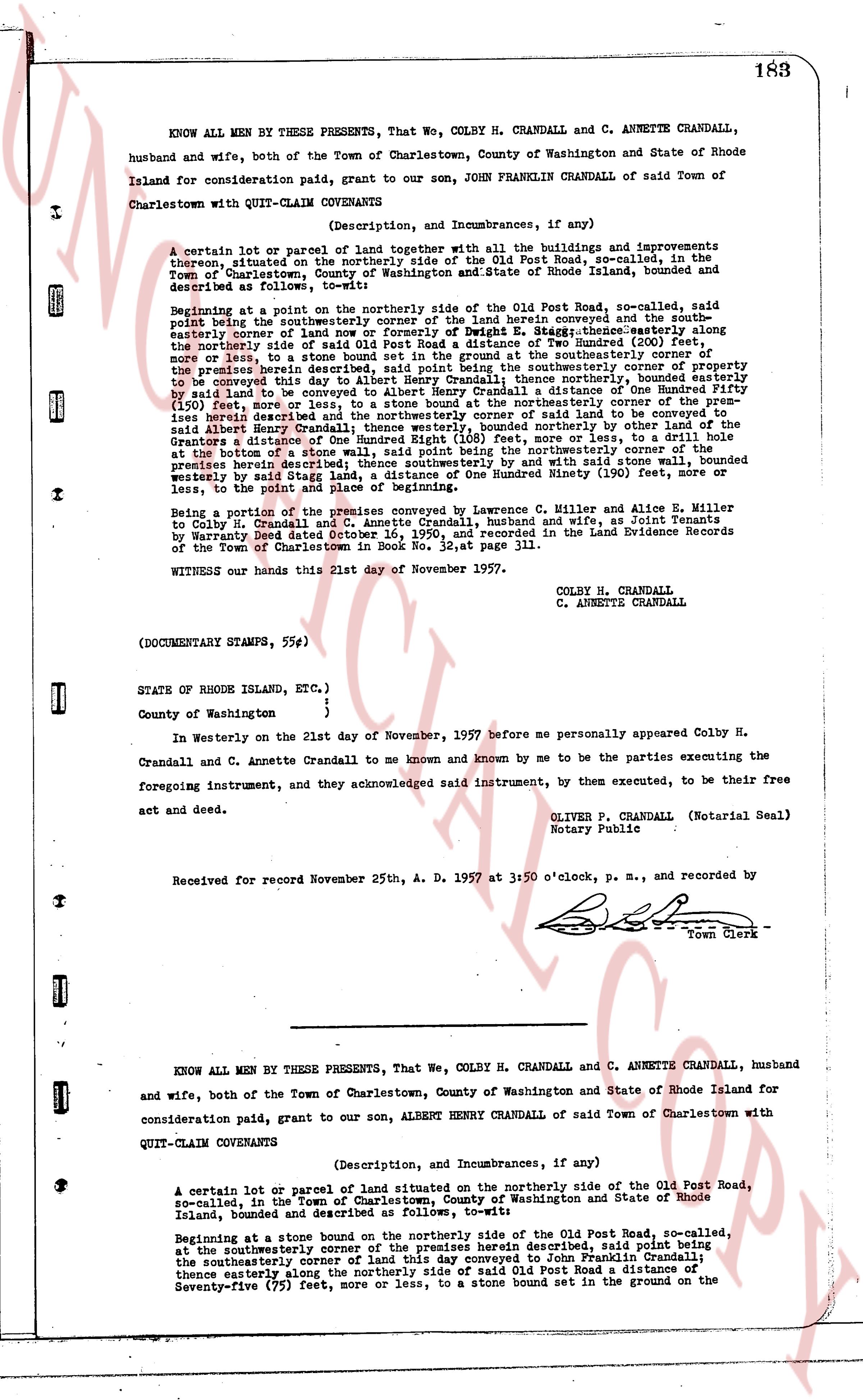
KNOW ALL MEN BY THESE PRESENTS, That We, COLBY H. CRANDALL and C. ANNETTE CRANDALL, husband and wife, both of the Town of Charlestown, County of Washington and State of Rhode Island for consideration paid, grant to our son, JOHN FRANKLIN CRANDALL of said Town of Charlestown with QUIT-CLAIM COVENANTS
(Description, and Incumbrances, if any)
A certain lot or parcel of land together with all the buildings and improvements thereon, situated on the northerly side of the Old Post Road, so-called, in the Town of Charlestown, County of Washington and State of Rhode Island, bounded and described as follows, to-wit:
Beginning at a point on the northerly side of the Old Post Road, so-called, said point being the southwestern corner of the land herein conveyed northwesterly, said point being the southeasterly corner of land conveyed to John Franklin Crandall; thence easterly along the northerly side of said 01d Post Road a Distance of Two Hundred (200) feet, more or less, to a stone bound set in the ground, said southeasterly corner of the premises herein described, said point being the southwestern corner of property to be conveyed this day to Albert Henry Crandall; thence northerly, bounded westerly by said land to be conveyed to Albert Henry Crandall by a distance of One Hundred Fifty (150) feet, more or less, to a stone bound at the northwestern corner of the premises herein described, said point being the northwestern corner of said land to be conveyed to said Albert Henry Crandall; thence westerly, bounded northerly by other land of the Grantors a distance of Two Hundred (200) feet, more or less, to the northwestern corner at the bottom of a stone wall, said point being the northwesterly corner of the premises herein described, said point being the northwesterly corner of land bounded westerly by said Gagg land, a distance of One Hundred Ninety (190) feet, more or less, to the north and One Hundred (100) feet, more or less, to the east.
Being a portion of the premises conveyed by Lawrence C. Miller and Alice E. Miller to Colby H. Crandall and C. Annette Crandall, husband and wife, as Joint Tenants by Warranty Deed dated October 16, 1954, recorded in the Land Evidence Records of the Town of Charlestown in Book No. 31, page 311.
WITNESS our hands this first day of November 1957.
COLBY H. CRANDALL
C. ANNETTE CRANDALL
(DOCUMENTARY STAMPS, 55¢)
STATE OF RHODE ISLAND, ETC.)
)
}
County of Washington )
In Westerly on the 21st day of November, 1957 before me personally appeared Colby H. Crandall and C. Annette Crandall to me known and known by me to be the parties executing the foregoing instrument, and they acknowledged said instrument, by them executed, to be their free act and deed.
OLIVER P. CRANDALL (Notarial Seal)
Notary Public
Received for record November 25th, A. D. 1957 at 3:50 o'clock, p. m., and recorded by
[Signature]
Town Clerk
----
KNOW ALL MEN BY THESE PRESENTS, That We, COLBY H. CRANDALL and C. ANNETTE CRANDALL, husband and wife, both of the Town of Charlestown, County of Washington and State of Rhode Island for consideration paid, grant to our son, ALBERT HENRY CRANDALL of said Town of Charlestown with QUIT-CLAIM COVENANTS
(Description, and Incumbrances, if any)
A certain lot or parcel of land situated on the northerly side of the Old Post Road, so-called, in the Town of Charlestown, County of Washington and State of Rhode Island, bounded and described as follows, to-wit:
Beginning at a stone bound on the northerly side of the Old Post Road, so-called, at the southwestern corner of the premises herein described, said point being the southeasterly corner of land conveyed to John Franklin Crandall; thence easterly along the northerly side of said Old Post Road a distance of Seventy-five (75) feet, more or less, to a stone bound set in the ground on the
page 2 · read by Gemma vision
184
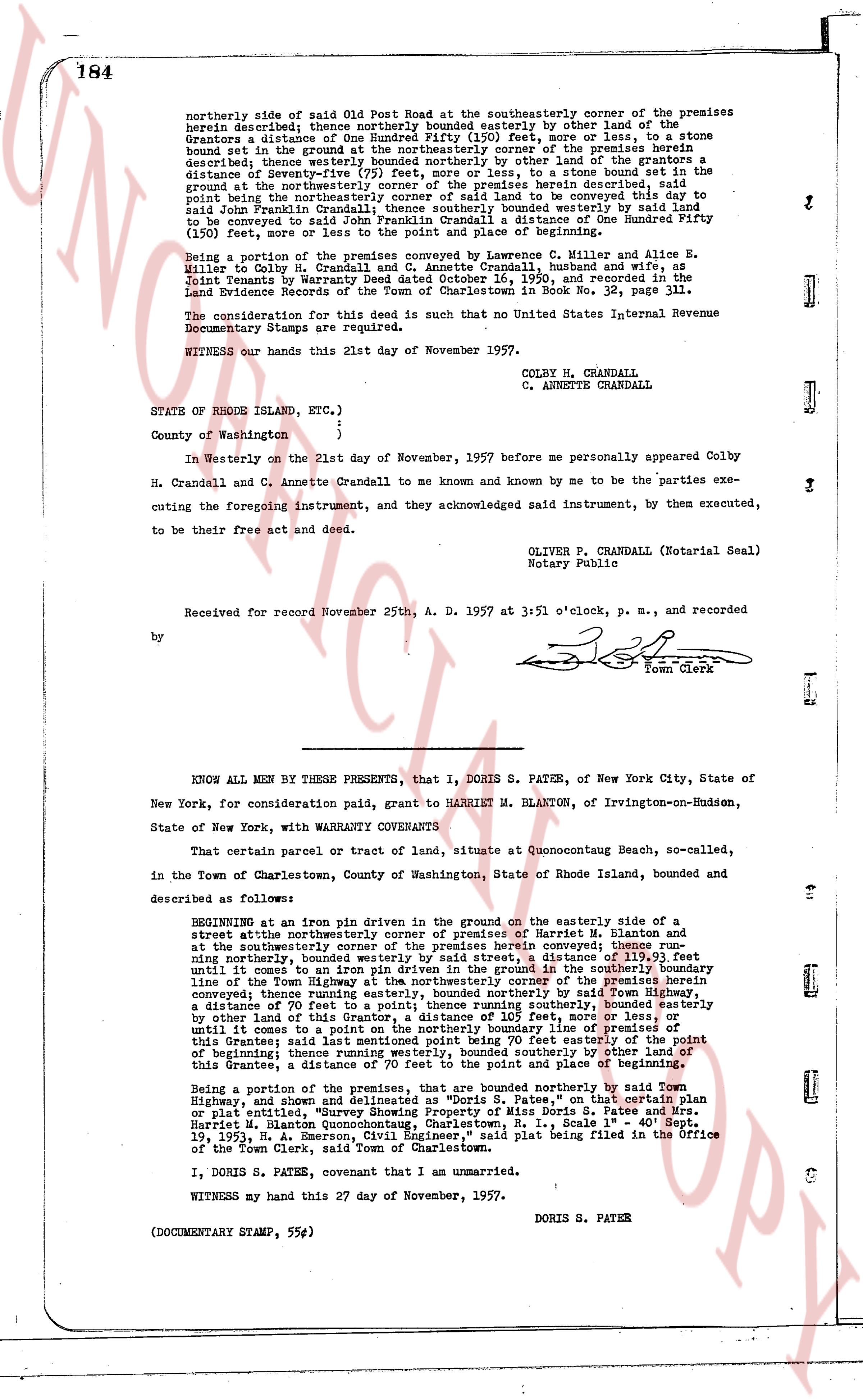
northerly side of said Old Post Road at the southeasterly corner of the premises herein described; thence northerly bounded easterly by other land of the Grantors, aligned with the said Old Post Road, a distance of 150 feet, more or less; to a stone bound set in the ground at the northeasterly corner of the premises herein described; thence westerly bounded northerly by other land of the grantors a distance of Seventy-five (75) feet, more or less, to a stone bound set in the ground at the northwesterly corner of the premises herein described, said point being the northerly corner of the premises conveyed to the said John Franklin Crandall; thence southerly bounded westerly by said land to the point of beginning, a distance of One Hundred Fifty (150) feet, more or less to the point and place of beginning.
Being a portion of the premises conveyed by Lawrence C. Miller and Alice S. Miller wife to Colby H. Crandall, husband and Annette Crandall, wife, as Joint Tenants by Warranty Deed dated October 16, 1950, and recorded in the Land Evidence Records of the Town of Charlestown in Book 32, page 31.
The consideration for this deed is such that no United States Internal Revenue Documentary Stamps are required.
WITNESS our hands this 21st day of November 1957.
COLBY H. CRANDALL
C. ANNETTE CRANDALL
STATE OF RHODE ISLAND, ETC.)
County of Washington }
}
In Westerly on the 21st day of November, 1957 before me personally appeared Colby H. Crandall and C. Annette Crandall to me known and by me to be the parties executing the foregoing instrument, and they acknowledged said instrument, by them executed, to be their free act and deed.
OLIVER P. CRANDALL (Notarial Seal)
Notary Public
Received for record November 25th, A. D. 1957 at 3:51 o'clock, p. m., and recorded by [signature] Town Clerk
----
KNOW ALL MEN BY THESE PRESENTS, that I, DORIS S. PATER, of New York City, State of New York, for consideration paid, grant to HARRIET M. BLANTON, of Irvington-on-Hudson, State of New York, with WARRANTY COVENANTS
That certain parcel or tract of land, situate at Quonocutongach Beach, so-called, in the Town of Charlestown, County of Washington, State of Rhode Island, bounded and described as follows:
BEGINNING at an iron pin driven in the ground on the easterly side of a street at the northeasterly corner of premises of Harriet M. Blanton and at the southeasterly corner of the premises herein conveyed; thence running northerly, bounded easterly by other land of the Grantee, a distance of 113 feet, until it comes to an iron pin driven in the ground in the southerly boundary line of the Town Highway at the northeasterly corner of the subject premises; thence conveyed, thence running easterly, bounded northerly by said Town Highway, a distance of 70 feet to a point; thence running southerly, bounded easterly by other land of the Grantee, a distance of 100 feet, more or less, until it comes to a point on the northerly boundary line of premises of this Grantee; said land being a portion of the 70 feet easterly of a point of beginning; thence running westerly, bounded southerly by other land of this Grantee, a distance of 113 feet, to the point and place of beginning.
Being a portion of the premises, that are bounded northerly by said Town Highway, and shown and delineated as "Doris S. Pater," on that certain plan or plat entitled, "Showing a portion of the Map said Road R.I. 1", Scale 1" = 40' Sept. 19, 1953, R. A. Shearson, Civil Engineer," said plat being filed in the Office of the Town Clerk, said Town of Charlestown.
I, DORIS S. PATER, covenant that I am unmarried.
WITNESS my hand this 27 day of November, 1957.
DORIS S. PATER
(DOCUMENTARY STAMP, 55¢)
The page as recorded