The instrument's own words
page 1 · read by Gemma vision
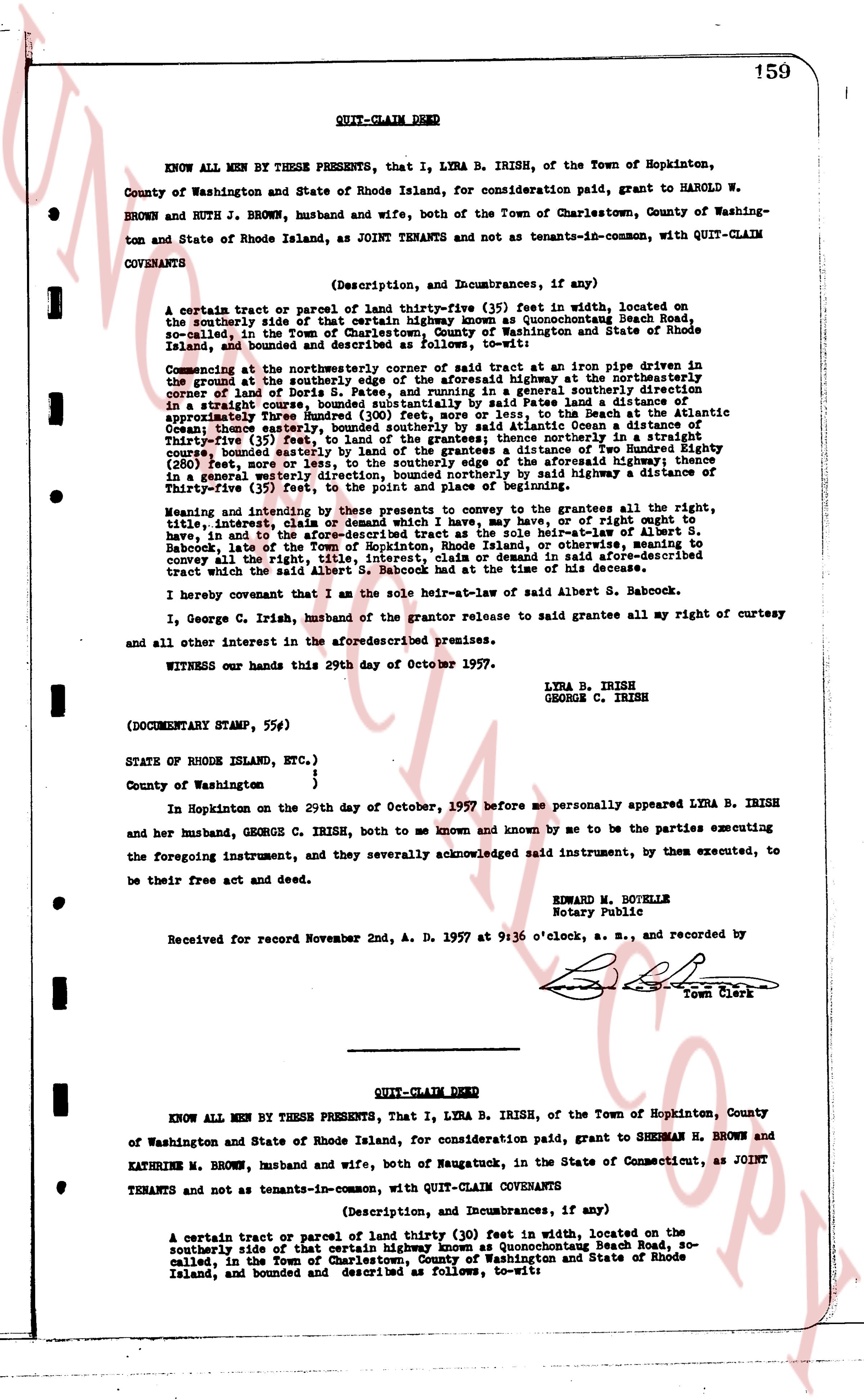
159
QUIT-CLAIM DEED
KNOW ALL MEN BY THESE PRESENTS, that I, LYRA B. IRISH, of the Town of Hopkinton, County of Washington and State of Rhode Island, for consideration paid, grant to HAROLD W. BROWN and RUTH J. BROWN, husband and wife, both, of the Town of Charlestown, County of Washington and State of Rhode Island, as JOINT TENANTS and not as tenants-in-common, with QUIT-CLAIM COVENANTS
(Description, and Incumbrances, if any)
A certain tract or parcel of land thirty-five (35) feet in width, located on the southerly side of that certain highway known as Quonochontough Beach Road, so-called, in the Town of Charlestown, County of Washington and State of Rhode Island, bounded and described as follows, to-wit:
Commencing at the northeasterly corner of said tract at an iron pipe driven in the ground at the southerly side of said highway running highway at the northeasterly corner of land of Doris S. Pate, and running in a generally southern direction in a straight course, bounded southeasterly by said Pate's land a distance of one hundred forty-four (144) feet, more or less, to the Atlantic Ocean, to the Beach at the Atlantic Ocean; thence easterly, bounded southerly by said Atlantic Ocean a distance of thirty-five (35) feet; thence northerly, bounded westerly by said Pate's land in a straight course, bounded easterly by land of the grantees a distance of Two Hundred Eighty one (281) feet, more or less, to the intersection of Crossroad Highway intersecting in a generally westerly direction, bounded northerly by said highway a distance of thirty-five (35) feet, to the point of beginning.
Meaning and intending by these presents to convey to the grantees all the rights, title, interest, claim or demand which I have, may have, or have right or equity to have, in law or equity in and to the above described land by virtue of my heir-at-law-ship of S. Babcock, late of the Town of Hopkinton, Rhode Island, or otherwise, meaning to convey all the right, title, interest, claim or demand in said aforesaid-described tract which the said Albert S. Babcock owned at the time of his decease.
I hereby covenant that I am the sole heir-at-law of said Albert S. Babcock.
I, George C. Irish, husband of the grantor release to said grantees all my right of curtesy and all other interest in the aforementioned premises.
WITNESS our hands this 29th day of October 1957.
LYRA B. IRISH
GEORGE C. IRISH
(DOCUMENTARY STAMP, 55¢)
STATE OF RHODE ISLAND, ETC.)
)
County of Washington }
In Hopkinton on the 29th day of October, 1957 before me personally appeared LYRA B. IRISH and her husband, GEORGE C. IRISH, both to me known and known by me to be the parties executing the foregoing instrument, and they severally acknowledged said instrument, by them executed, to be their free act and deed.
EDWARD M. BOUTELLE
Notary Public
Received for record November 2nd, A. D. 1957 at 9:36 o'clock, a. m., and recorded by [?] Town Clerk
----
QUIT-CLAIM DEED
KNOW ALL MEN BY THESE PRESENTS, that I, LYRA B. IRISH, of the Town of Hopkinton, County of Washington and State of Rhode Island, for consideration paid, grant to SHERMAN H. BROWN and KATHRINE M. BROWN, husband and wife, both, of Naugatuck, in the State of Connecticut, as JOINT TENANTS and not as tenants-in-common, with QUIT-CLAIM COVENANTS
(Description, and Incumbrances, if any)
A certain tract or parcel of land thirty (30) feet in width, located on the southerly side of that certain highway known as Quonochontough Beach Road, so-called, in the Town of Charlestown, County of Washington and State of Rhode Island, bounded and described as follows, to-wit:
page 2 · read by Gemma vision
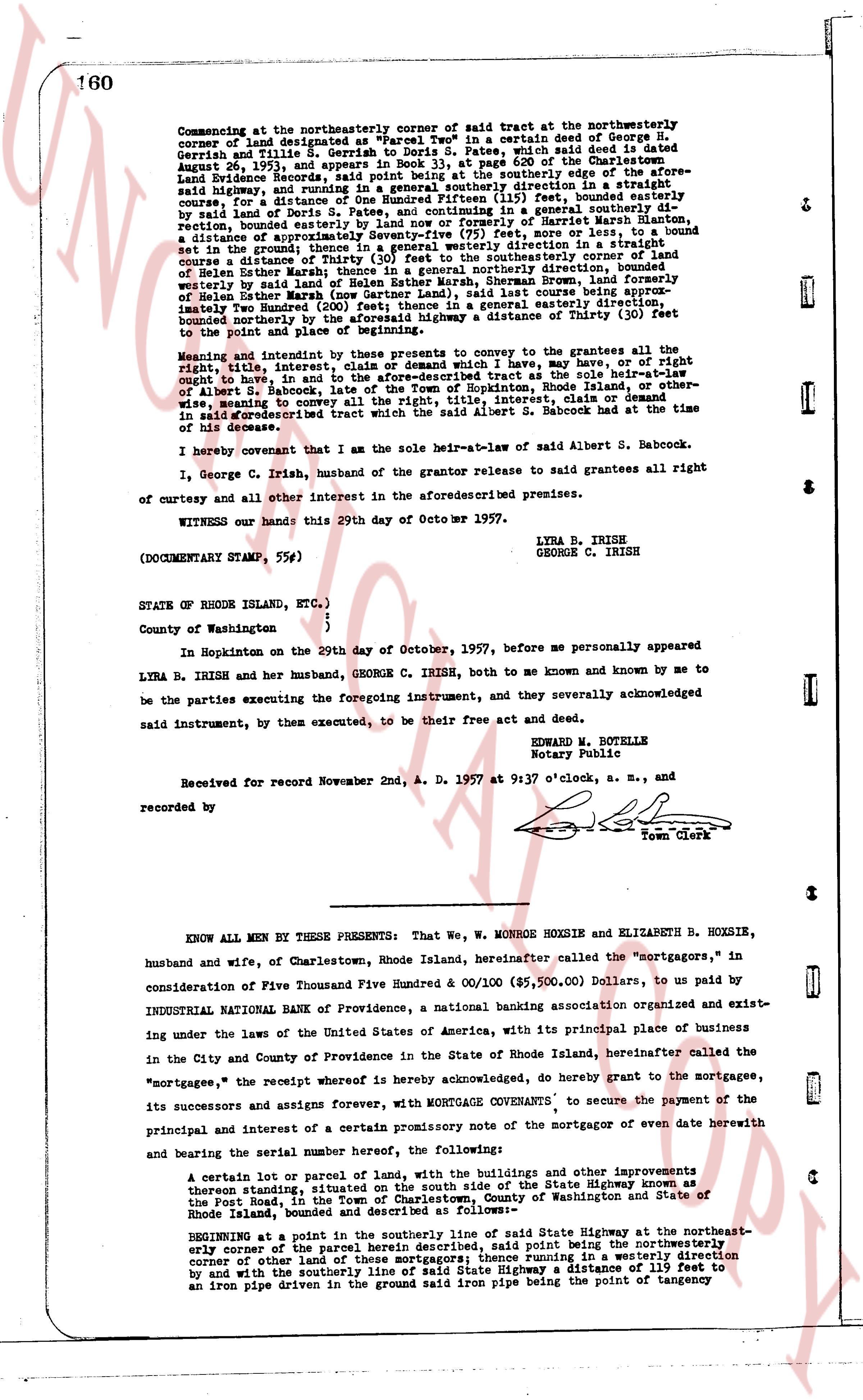
160
Commencing at the northeasterly corner of said tract at the northwesterly corner of land belonging to "74" Wood Ave in a certain deed of George D. Gerrish and Lucille B. Gerrish to Doris S. Fates, which said deed is dated August 26, 1953, and appears in Book 33, at page 620 of the Charlestown Land Evidence Records, then running southerly along the easterly edge of the aforesaid highway, and running in a general southerly direction in a straight line for a distance of one hundred twenty-one (121) feet, bounded easterly by land of Doris S. Fates and, continuing in a general southerly direction for a distance of one hundred twenty-one (121) feet, bounded easterly by the center of Marsh street, a distance of approximately Seventy-five (75) feet, more or less, to a bound stone set in the ground; thence running in a general westerly direction in a straight course to a distance of thirty (30) feet to the southeasterly corner of land of Helen Esther Marsh thence in a general northerly direction, bounded westerly by said land and continuing in a general northerly direction, bounded easterly by land of Helen Esther Marsh (now Gardner Land), last course being approximately one hundred (100) feet, then running in a general easterly direction for a distance bounded northerly by the aforesaid highway a distance of Thirty (30) feet to the point of beginning and close.
Meaning and intending by these presents to convey to the grantees all the right, title, interest, claim or demand which I have may have, or of right ought to have, in and to the said described tract at the sole heir-at-law of Albert S. Babcock, late of the Town of Hopkinton, Rhode Island, or otherwise, meaning to convey all the right, title, interest, or other interest, of or over the described tract which the said Albert S. Babcock had at the time of his decease.
I hereby covenant that as the sole heir-at-law of said Albert S. Babcock.
I, George C. Irish, husband of the grantor release to said grantees all right of curtesy of and other interest along the aforesaid described premises.
WITNESS our hands this 29th day of October MCMLVII.
LYRA B. IRISH
GEORGE C. IRISH
(DOCUMENTARY STAMP, 55¢)
STATE OF RHODE ISLAND, ETC.,)
County of Washington )
In Hopkinton on the 29th day of October, 1957, before me personally appeared
LYRA B. IRISH and her husband, GEORGE C. IRISH, both to me known and known by me to be the parties executing the foregoing instrument, and they severally acknowledged said instrument, by them executed, to be their free act and deed.
HOWARD M. BOTELLE
Notary Public
Received for record November 2nd, A. D. 1957 at 9:37 o'clock, a. M., and recorded by [?]
Town Clerk
----
KNOW ALL MEN BY THESE PRESENTS: That We, W. MONROE HOXSIE and ELIZABETH B. HOXSIE, husband and wife, of Charlestown, Rhode Island, hereinafter called the "mortgagors," in consideration of Five Thousand Five Hundred & 00/100 ($5,500.00) Dollars, to us paid by INDUSTRIAL NATIONAL BANK of Providence, a national banking association organized and existing under the laws of the United States of America, with its principal place of business in the City and County of Providence in the State of Rhode Island, hereinafter called the "mortgagee," the receipt whereof is hereby acknowledged, do hereby grant to the mortgagee, its successors and assigns forever, with MORTGAGE COVENANTS, to secure the payment of the principal and interest of a certain promissory note of the mortgagor of even date herewith and bearing a serial number the following described,
A certain lot or parcel of land, with the buildings and other improvements thereon standing, situated on the south side of the State Highway known as the Post Road, in the Town of Charlestown, County of Washington and State of Rhode Island, bounded and described as follows:-
BEGINNING at a point in the southerly line of said State Highway at the northeast-erly corner of the parcel herein described, and said point being the northwesterly corner of other land of the same ownership, thence running in a westerly direction by and with the southerly line of said State Highway a distance of 119 feet to an iron pipe driven in the ground said iron pipe being the point of tangency
The page as recorded