The instrument's own words
page 1 · read by Gemma vision
133
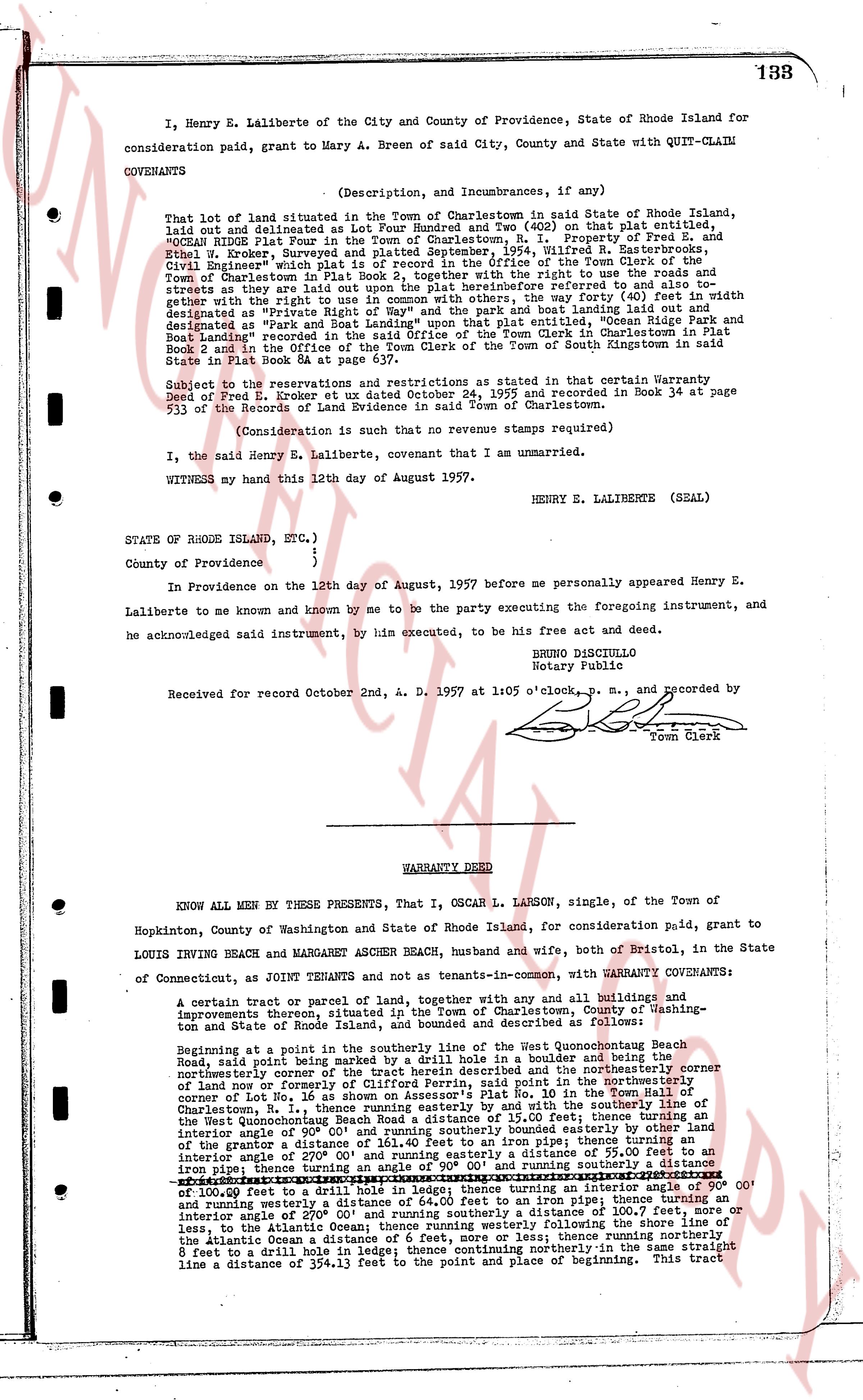
I, Henry E. Laliberte of the City and County of Providence, State of Rhode Island for
consideration paid paid, grant to Mary A. Breen of said City, County and State with QUIT-CLAIM
COVENANTS
(Description, and Incumbrances, if any)
That lot of land situated in the Town of Charlestown in said State of Rhode Island,
laid out and delineated as lot number 3 and 4 (40x60) on that plat entitled,
"OCEAN RIDGE Plat Four in the Town of Charlestown, R. I. Property of Fred E. and
Ethel W. Broker, Surveyed and platted September, 1954, R. I. Easterbrooks, Corp.,
Civil Engineers working under the direction of the Town Clerk of the Town of
Charlestown in plat Book 3, together with the right to use the roads and streets
as shown thereon and all other rights and easements here before referred to as appurtenant
together with the right to use in common with the others, the way forty (40) feet in width
designated as "Private Road" and the way forty (40) feet in width leading to the Atlantic
Ocean designated as "Park and Boat Landing" upon that plat entitled, "Ocean Ridge Park and
Boat Landing" recorded in Plat Book 5 in the Office of the Town Clerk in Charlestown and
Book 5 and in the Office of the Town Clerk in the Town of South Kingstown in said
State in Plat Book 8 & page 87 et seq.
Subject to the reservations and restrictions as stated in that certain Warranty Deed
of Fred E. Broker of Charlestown dated October 24, 1955 and recorded in Book 34 at page
533 of the Records of Land Evidence in said Town of Charlestown.
(Consideration is such that no revenue stamps required)
I, the said Henry E. Laliberte, covenant that I am unmarried.
WITNESS my hand this 12th day of August of 1957.
HENRY E. LALIBERTE (SEAL)
STATE OF RHODE ISLAND, ETC.)
)
County of Providence : )
In Providence on the 12th day of August, 1957 before me personally appeared Henry E.
Laliberte to me known and known by me to be the party executing the foregoing instrument, and
he acknowledged said instrument, by his executed, to be his free act and deed.
BRUNO DISCIULLO
Notary Public
Received for record October 2nd, A. D. 1957 at 1:05 o'clock p. m., and recorded by
[signature]
Town Clerk
----
WARRANTY DEED
KNOW ALL MEN BY THESE PRESENTS, That I, OSCAR L. LARSON, single, of the Town of
Hopkinton, County of Washington and State of Rhode Island, for consideration paid, grant to
LOUIS IRVING BEACH and MARGARET ASHER BEACH, husband and wife, both of Bristol, in the State
of Connecticut, as joint TENANTS and not as tenants-in-common, with WARRANTY COVENANTS:
A certain tract or parcel of land, together with any and all buildings and improvements
thereon situated, in the Town of Charlestown, County of Washington and State of
Rhode Island, and bounded and described as follows:
Beginning at a point in the southerly piece of the way of Quonsetpoint Beach
Road, said point being marked by a drill hole in a boulder and being the northeasterly
northermost corner of the tract herein described and the northeasterly corner of the
northermost line nor corner of the tract herein described and the northeasterly
corner of Lot No. 16 as shown on Assessor's Plat No. 10 in the Town of Charlestown
Charlestown, R. I., thence running westerly along the southerly line of the southerly
line of the Quonsetpoint Beach Road a distance of 15.00 feet; thence turning an
interior angle of 90° 00' and running southerly a distance of 55.00 feet; thence turning an
interior angle of 161.40 feet to an Iron pipe; thence turning an
interior angle of 90° 00' and running southerly a distance of 55.00 feet; thence turning an
iron pipe, thence turning an angle of 90° 00' and running southerly a distance of
100.00 feet to a drill hole in ledge; thence turning an interior angle of 90° 00'
and running westerly a distance of 161.40 feet to an iron pipe; thence turning an
interior angle of 90° 00' and running southerly a distance of 100.7 feet, more or
less, to the Atlantic Ocean; thence running westerly following the Atlantic Ocean; thence running
northerly 8 feet to a drill hole in ledge; thence continuing northerly in the same straight
line a distance of 354.13 feet to the point and place of beginning. This tract
The page as recorded