The instrument's own words
page 1 · read by Gemma vision
117
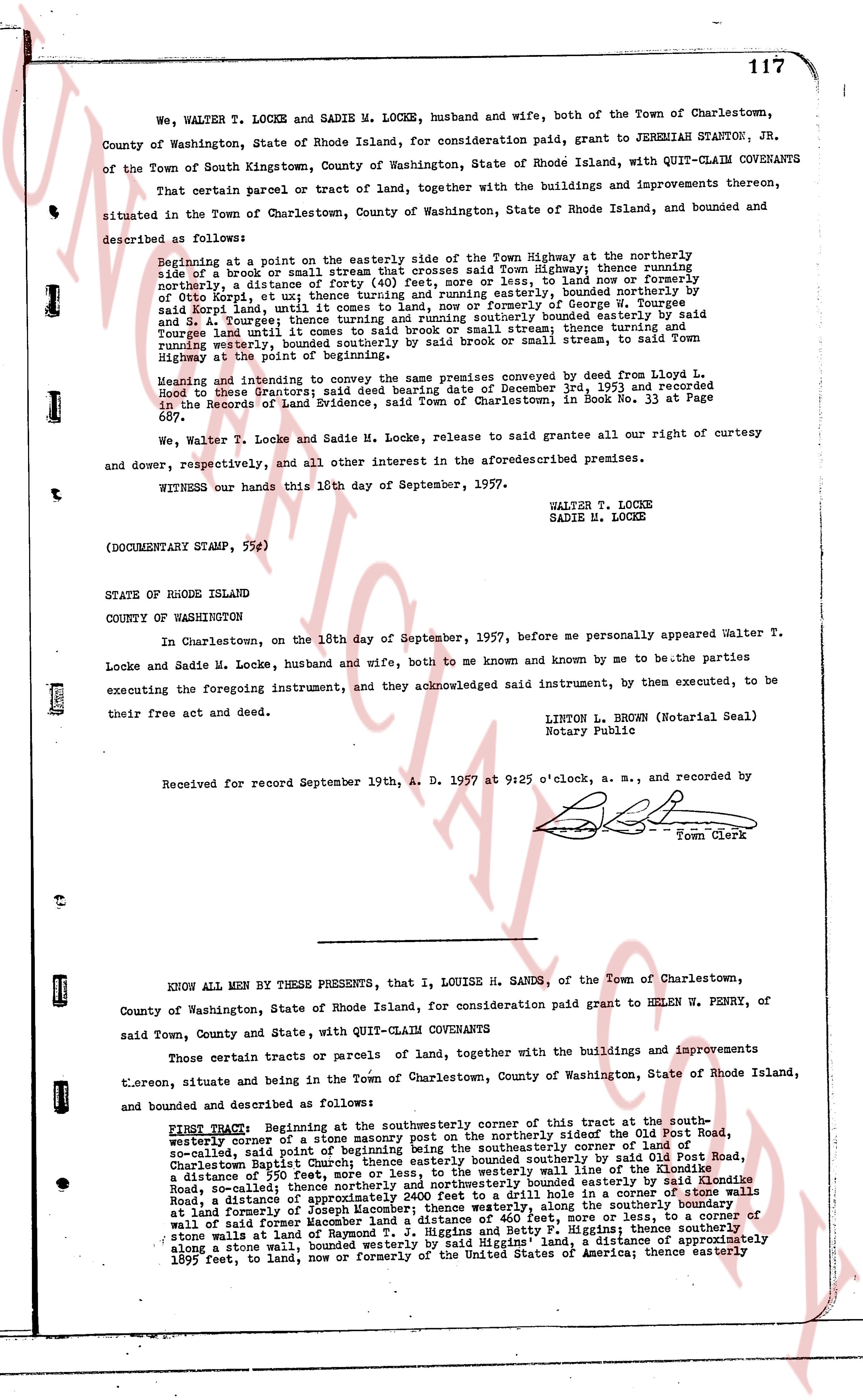
We, WALTER T. LOCKE and SADIE M. LOCKE, husband and wife, both of the Town of Charlestown, County of Washington, State of Rhode Island, for consideration paid, grant to JEREMIAH STANTON, JR. of the Town of South Kingstown, County of Washington, State of Rhode Island, with QUIT-CLAIM COVENANTS
That certain parcel or tract of land, together with the buildings and improvements thereon, situated in the Town of Charlestown, County of Washington, State of Rhode Island, and bounded and described as follows:
Beginning at a point on the easterly side of the Town Highway at the northerly side of a brook or small stream that crosses said Town Highway; thence running northerly, a distance of (forty) 40 feet, more or less, to land now or formerly of Otto Korpal, et al; thence turning and running easterly, bounded northerly by George W. Tourges and J. A. Tourges; thence turning and running southerly bounded easterly by said Tourges land and small stream that crosses said Town Highway; thence turning south running westerly, bounded southerly by said brook or small stream, to said Town Highway at the point of beginning.
Being and whereas the same premises conveyed by deed from Lloyd L. Locke to the Grantors; said deed bearing date of December 3rd, 1953 and recorded in the Records of Land Evidence, said Town of Charlestown, in Book No. 33 at Page 697.
We, Walter T. Locke and Sadie M. Locke, release to said grantee all our right of curtesy and dower, respectively, and all other interest in the aforementioned premises.
WITNESS our hands this 10th day of September, 1957.
WALTER T. LOCKE
SADIE M. LOCKE
(DOCUMENTARY STAMP, 55¢)
STATE OF RHODE ISLAND
COUNTY OF WASHINGTON
In Charlestown, on the 10th day of September, 1957, before me personally appeared Walter T. Locke and Sadie M. Locke, husband and wife, both to me known and known by me to be the parties executing the foregoing instrument, and they acknowledged said instrument, by them executed, to be their free act and deed.
LINTON L. BROWN (Notarial Seal)
Notary Public
Received for record September 19th, A. D. 1957 at 9:25 o'clock, a. m., and recorded by
[Signature]
Town Clerk
----
KNOW ALL MEN BY THESE PRESENTS, that I, LOUISE H. SANDS, of the Town of Charlestown, County of Washington, State of Rhode Island, for consideration paid grant to HELEN W. PENRY, of said Town, County and State, with QUIT-CLAIM COVENANTS
Certain tracts or parcels of land, together with the buildings and improvements thereon, situate and being in the Town of Charlestown, County of Washington, State of Rhode Island, and bounded and described as follows:
FIRST TRACT: Beginning at the southeasterly corner of this tract at the southwe- westerly corner of a stone masonry post on the northerly side of the Old Post Road, so-called, said point of beginning being the southeasterly corner of land of the Charlestown Baptist Church; thence easterly bounded northerly by said Old Post Road, a distance of 300 feet; thence turning and running southerly wall line of the Kincaid Road, so-called; thence northerly and northwesterly bounded easterly by land of Medicine Road, so-called; thence a distance of 100 feet to a corner of a stone wall in a corner of stone walls at land formerly of Joseph Macomber; thence westerly, along the southerly boundary wall of said former land of Joseph Macomber, a distance of 100 feet to a corner of stone walls at land of Raymond T. J. Higgins and Betty F. Higgins; thence southerly along a stone wall, bounded westerly by said Higgins land, a distance of approximately 1099 feet, to land, now or formerly of the United States of America; thence easterly
page 2 · read by Gemma vision
118
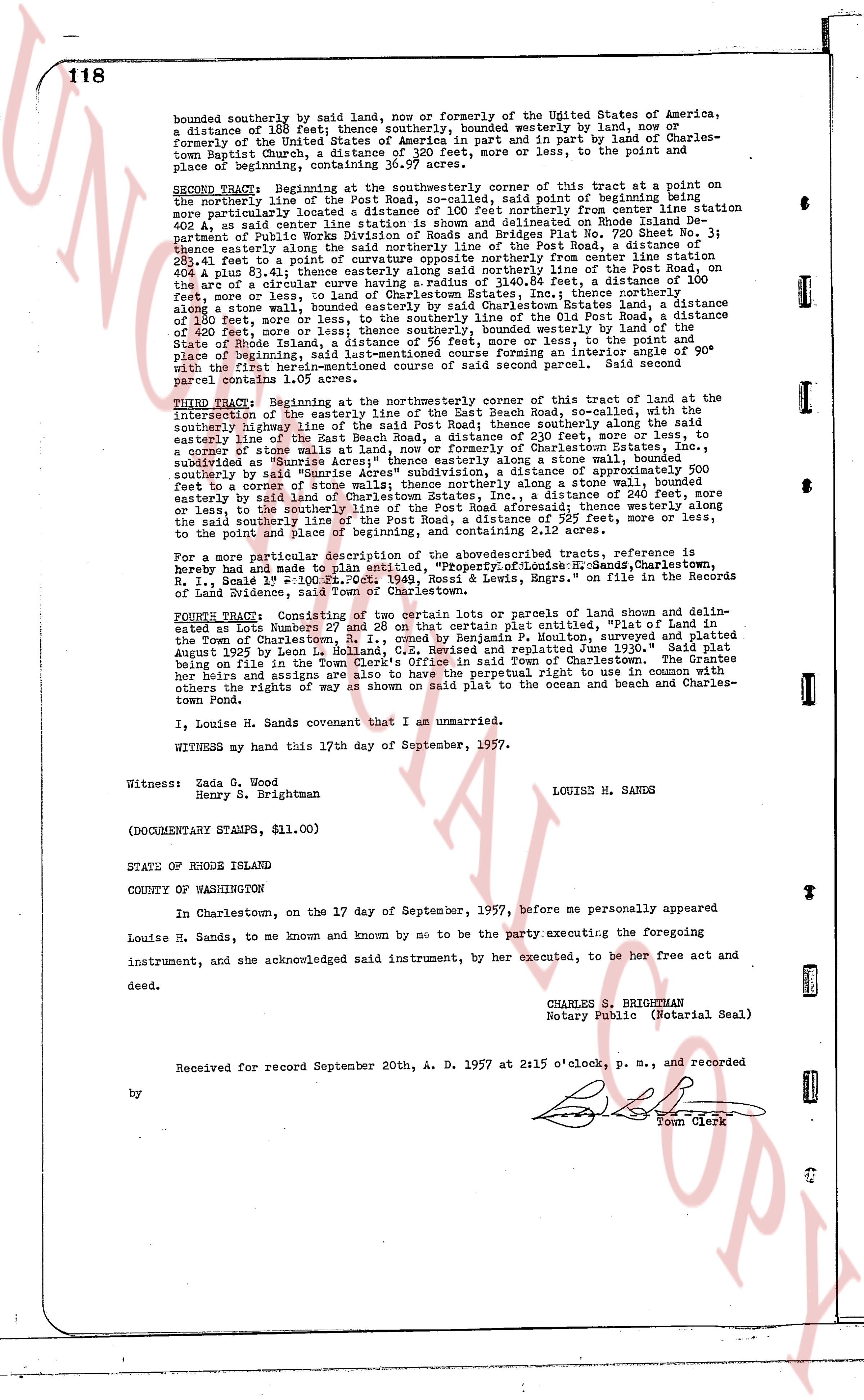
bounded southerly by said land, now or formerly of the United States of America, a distance of 188 feet; thence southerly, bounded westerly by land, now or formerly of the United States of America in part and in part by lands of Narragansett Baptist Church, a distance of 203 feet more or less, to the point and place of beginning, containing 36.97 acres.
SECOND TRACT: Beginning at the southeasterly corner of this tract at a point on the centerline of the Old Post Road, said point of beginning being further more particularly located a distance of 100 feet northerly from center line station 402 + 41, said center line station being located 60 chains 00 poles South of the Department of Public Works Division of Roads and Bridges Plat No. 720 Sheet No. 3; thence easterly along the said centerline of the Old Post Road, a distance of 100 feet, 41.41 feet to a point of curvature opposite northerly from center line station 402 + 41, a boug 8.31 feet easterly along said northerly line of the Old Post Road, a distance of 100 feet, more or less, to land of Charlestown Estates, Inc.; thence northerly, along a stone wall, to a point on the easterly boundary line of the Estates land, a distance of 300 feet, more or less, to the southerly line of the Old Post Road, a distance of 300 feet, more or less, to a point of curvature, bounded westerly by land of the State of Rhode Island, a distance of 96 feet, more or less, to the point and place of beginning, the line from the last point of curvature bearing an interior angle of 90° with the first herein-mentioned course to angle of second parcel. Said second parcel contains 1.05 acres.
THIRD TRACT: Beginning at the northeasterly corner of this tract of land at the intersection of the easterly line of the East Beach Road, So-called, with the southerly highway line of the Old Post Road, said corner being, along said easterly line of the Old Post Road, a distance of 230 feet, more or less, to a corner of stone walls at land, now or formerly of Charlestown Estates, Inc., subdivided as "Sunrise Acres", along a stone wall, to a point on the easterly boundary line of the Estates land, a distance of 240 feet, more or less, southerly by said "Sunrise Acres" subdivision, a distance of approximately 500 feet to a corner of stone walls at land of the State of Rhode Island, thence northerly along the easterly by said land of Charlestown Estates, Inc., a distance of 240 feet, more or less, to the southerly line of the Old Post Road, a distance of 230 feet, more or less, along the said southerly line of the Post Road, a distance of 225 feet, more or less, to the point and place of beginning, containing 5.11 acres.
For a more particular description of the above described tracts, reference is hereby made and payment to lan entitled, "Property of Louise H. Sands, Charlestown, R.I., Deed to Waldo H. Penry and Helen W. Penry, & Lewis Enrys, "on file in the Records of Land Evidence, said Town of Charlestown.
FOURTH TRACT: Consisting of two certain lots or parcels of land shown and delineated as Lots Numbers 27 and 28 on that certain plat entitled, "Plat of a portion of the Town of Charlestown, State of Rhode Island, Moulton, surveyed and platted August 1927 by Leon L. Rolland, C.E. Revised and replatted June 1930." Said plat being on file in the Town of Charlestown or Charlestown Estates, Inc. The grantee, her heirs and assigns are to have the perpetual right to use in common with others the rights of way as shown on said plat to the ocean and beach and Charlestown Pond.
I, Louise H. Sands covenant that I am unmarried.
WITNESSED my hand this 17th day of September, 1957.
Witness: Zada G. Wood LOUISE H. SANDS
Henry S. Brightman
(DOCUMENTARY STAMPS, $11.00)
STATE OF RHODE ISLAND
COUNTY OF WASHINGTON
In Charlestown, on the 17 day of September, 1957, before me personally appeared Louise H. Sands, to me known and known by me to be the party executing the foregoing instrument, and she acknowledged said instrument, by her executed, to be her free act and deed.
CHARLES S. BRIGHTMAN
Notary Public (Notarial Seal)
Received for record September 20th A. D. 1957 at 2:15 o'clock, p. m., and recorded
by [Seal]
Town Clerk
The page as recorded