The instrument's own words
page 1 · read by Gemma vision
72
STATE OF RHODE ISLAND SUPERIOR COURT
WASHINGTON, Sc.
EVERETT H. BROWNING :
vs. : Eq. No. 910
SARAH J. BROWNING, alias :
DISCHARGE OF LIS PENDENS
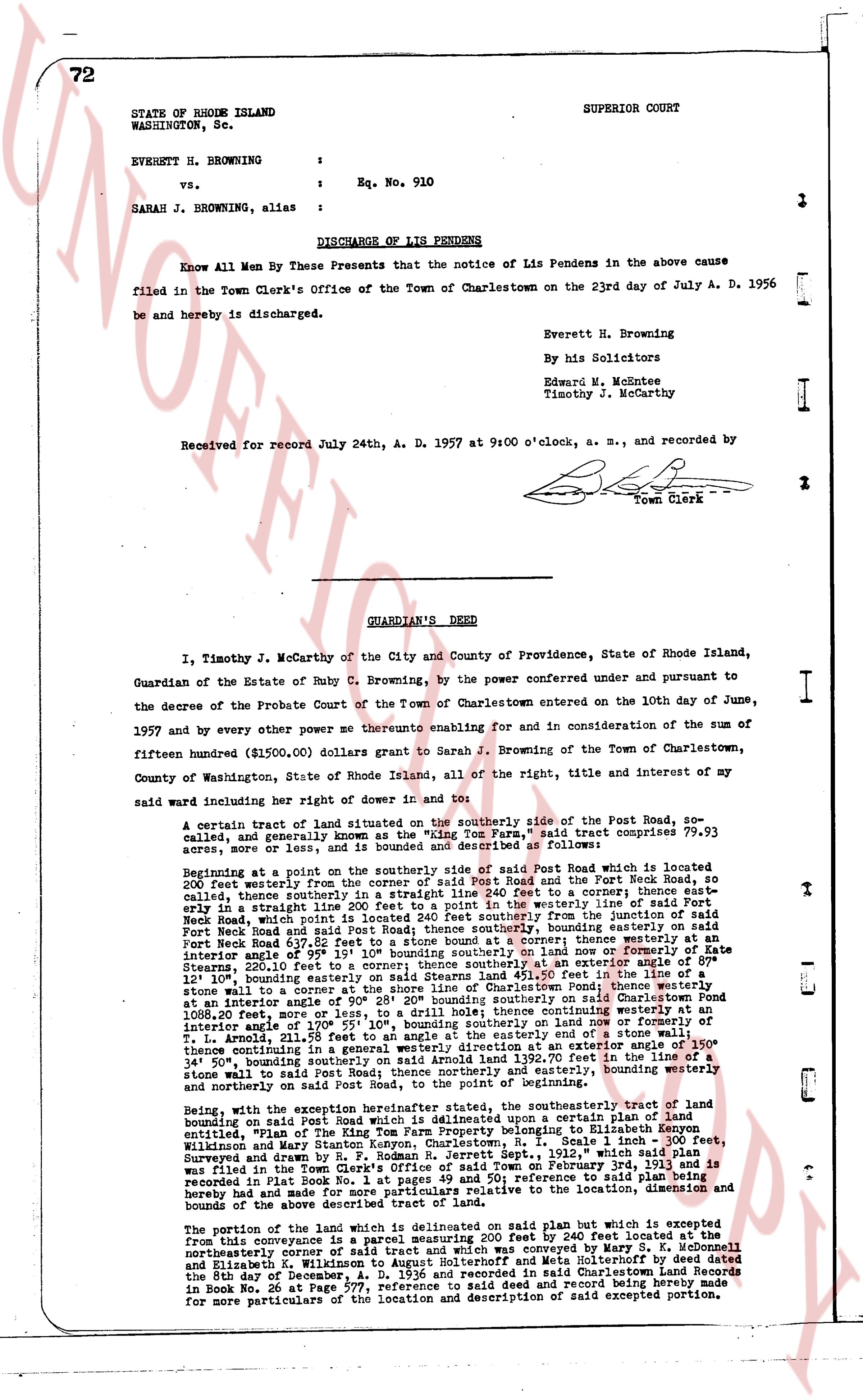
Know All Men By These Presents that the notice of Lis Pendens in the above cause filed in the Town Clerk's Office of the Town of Charlestown on the 23rd day of July A. D. 1956 be and hereby is discharged.
Everett H. Browning
By his Solicitors
Edward W. McKeenee
Timothy J. McCarthy
Received for record July 24th, A. D. 1957 at 9:00 o'clock, a. m., and recorded by
[Signature]
Town Clerk
----
GUARDIAN'S DEED
I, Timothy J. McCarthy of the City and County of Providence, State of Rhode Island, Guardian of the Estate of Ruby C. Browning, by the power conferred under and pursuant to the decree of the Probate Court of the Town of Charlestown entered on the 10th day of June, 1957 and by every other power me thereunto enabling for and in consideration of the sum of fifteen hundred ($1500.00) dollars grant to Sarah J. Browning of the Town of Charlestown, County of Washington, State of Rhode Island, all of the right, title and interest of my said ward including her right of dower in and to:
A certain tract of land situated on the southerly side of the Post Road, so called, and generally, and even known as the "Wing Tom Farm," said tract comprises 79.93 acres, more or less, and is bounded and described as follows:
Beginning at a point on the southerly side of said Post Road which is located 200 feet westerly from the junction of said Post Road and the Fort Neck Road, so called, thence southerly, thence southerly in a straight line 240 feet to a corner; thence westerly at an straight line 110 feet to a corner; thence northerly 110 feet westerly line of said Fort Neck Road, which point is located 240 feet southerly from the junction of said Fort Neck Road and said Post Road; thence northerly along said bounding easterly line of said Post Neck Road 637.82 feet to a stone bound at a corner; thence westerly at an interior angle of 89° 12' 00" to a stone bound at a corner; land now or formerly owned by Stearns, 220.10 feet to a corner; thence southerly at an interior angle of 87° 12' 10", bounding easterly line of said tract, 100 feet to a corner; thence westerly at an interior angle of 89° 12' 00" to a stone bound at a corner; thence northerly along a stone wall to a corner at the shore line of Charlestown Pond; thence westerly at an interior angle of 88° 12' 00" to a corner; thence northerly along the shore line of said pond 1088.20 feet, more or less, to a drill; thence westerly 100 feet; thence continuing westerly at an interior angle of 87° 12' 00" to a corner; thence northerly along a stone wall 211.58 feet to an angle at the easterly end of a stone wall 100 feet continuing in a general westerly direction at an interior angle of 130° 12' 00" thence continuing in a general westerly direction, 1392.70 feet to a line on the line of a stone wall to said Post Road thence northerly and westerly, easterly bounding northerly and westerly line of said tract, to the point of beginning.
Being, with the exception herein hereinafter stated, the southeasterly tract of land bounding on said Post Road which is delineated upon a certain plan of land mentioning as "the Part of the Wing Tom Farm" conveyed to Elizabeth Browning Wilkinson and Mary Stanton Kenyon, Charlestown, R.I. Scale 1 inch = 300 feet, surveyed and drawn by James H. Moore, C.E., dated May 1, 1913 which said plan was filed in the Town Clerk's Office of said Town on February 3rd 1913, and is recorded in First Book Rd. 1 at page 11. The above reference to said plan is hereby referred to and made part of this deed for all purposes to the location, dimension and bounds of the above described tract of land.
The portion of the land in which plan is delineated but which is excepted from this conveyance is a rectangular portion 200 feet by 240 feet located at the northeasterly corner of said tract and which was conveyed by Mary S. Browning and Elizabeth S. Wilkinson to William H. Browning and Meta Holtheroff by deed dated the 8th day of December, A. D. 1936 and recorded in said Charlestown Land Records in Book Rd. 36 at Page 771. Said plan is hereby referred to and made part of this deed for more particulars of the location and description of said excepted portion.
The page as recorded