The instrument's own words
page 1 · read by Gemma vision
44
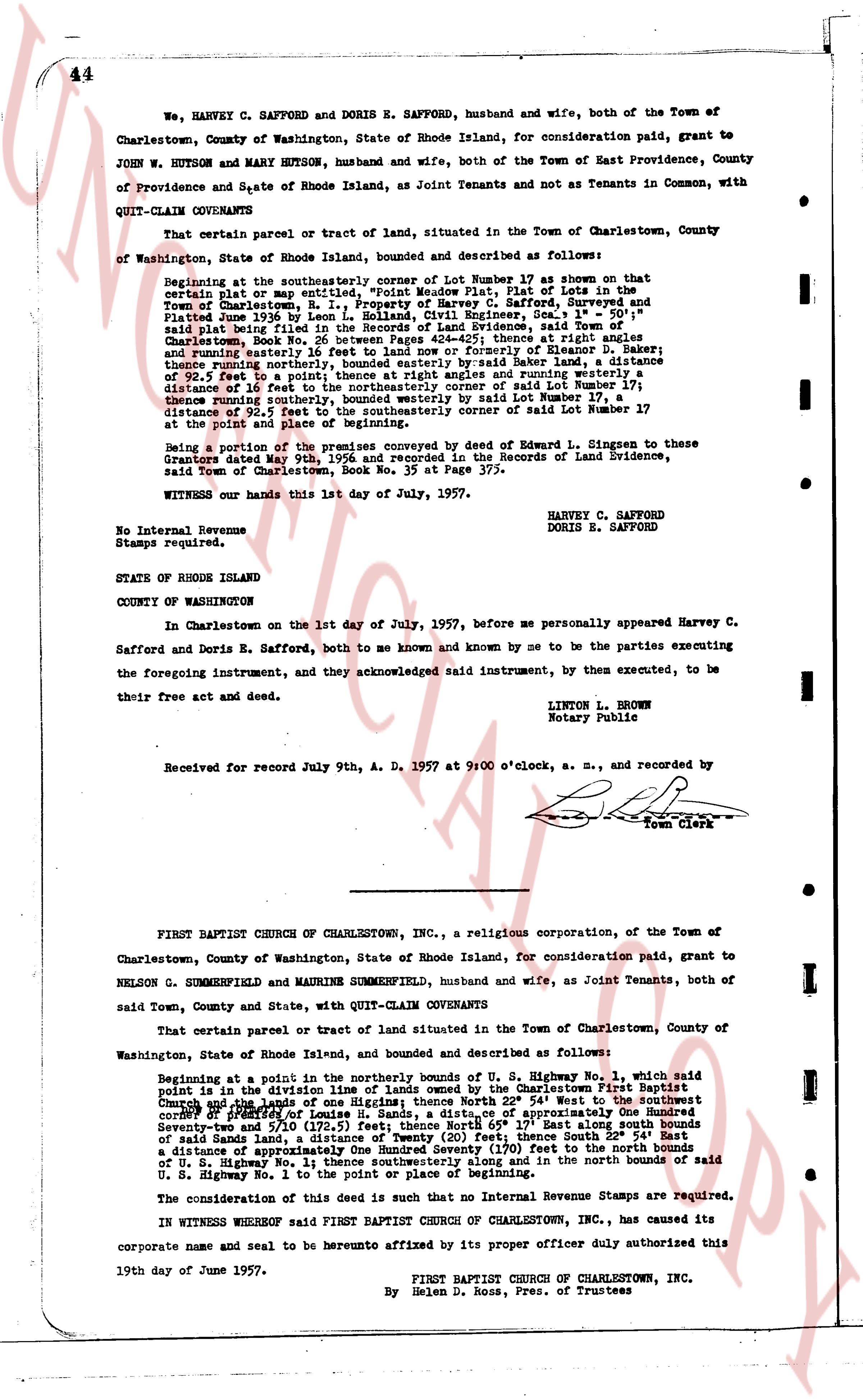
We, HARVEY C. SAFFORD and DORIS E. SAFFORD, husband and wife, both of the Town of Charlestown, County of Washington, State of Rhode Island, for consideration paid, grant to JOHN W. HUTSON and MARY HUTSON, husband and wife, both of the Town of East Providence, County of Providence and State of Rhode Island, as Joint Tenants and not as Tenants in Common, with QUIT-CLAIM COVENANTS
That certain parcel or tract of land, situated in the Town of Charlestown, County of Washington, State of Rhode Island, bounded and described as follows:
Beginning at the southeasterly corner of Lot Number 17 as shown on that certain plat or map entitling the premises now Plat 1, Property of Harvey C. Safford, Surveyed and Platted June 1936 by Leon L. Holland, Registered Engineer, Geo. Town of Charlestown, said Plat being filed in the Office of Land Evidence, said Town of Charlestown, Book No 26 between Pages 424-425; thence at right angles and running easterly 92.5 feet to the boundary of Simpson D. Baker; thence running easterly 92.5 feet to a point on the boundary of Simpson D. Baker; thence running northerly bounded easterly by said Baker land, a distance of 92.5 feet; a point on the boundary of Simpson D. Baker and running easterly a distance of 16 feet to the northeasterly corner of said Lot Number 17; thence running southeastly bounded southwesterly by said Lot Number 17, a distance of 92.5 feet to the southeasterly corner of said Lot Number 17 at the point and place of beginning.
Being a portion of the premises conveyed by deed of Edward L. Singesen to these Grantors dated May 9th, 1956 and recorded in the Records of Land Evidence, said Town of Charlestown, Book No. 35 at Page 375.
WITNESS our hands this 1st day of July, 1957.
HARVEY C. SAFFORD
DORIS E. SAFFORD
No Internal Revenue Stamps required.
STATE OF RHODE ISLAND
COUNTY OF WASHINGTON
In Charlestown on the 1st day of July, 1957, before me personally appeared Harvey C. Safford and Doris E. Safford, both to me known and known by me to be the parties executing the foregoing instrument, and they acknowledged said instrument, by them executed, to be their free act and deed.
LINTON L. BROWN
Notary Public
Received for record July 9th, A. D. 1957 at 9:00 o'clock, a. m., and recorded by
[Signature]
Town Clerk
----
FIRST BAPTIST CHURCH OF CHARLESTOWN, INC., a religious corporation, of the Town of Charlestown, County of Washington, State of Rhode Island, for consideration paid, grant to NELSON G. SUMMERFIELD and MAURINE SUMMERFIELD, husband and wife, as Joint Tenants, both of said Town, County and State, with QUIT-CLAIM COVENANTS
That certain parcel or tract of land situated in the Town of Charlestown, County of Washington, State of Rhode Island, bounded and described as follows:
Beginning at Point in the northerly bounds of U. S. Highway No. 1, which said point is in the direction of the southeasterly corner of the premises known First Baptist Church and the lens of one Highway; thence North 22° 54' West to the southeasterly corner of said First Baptist Church, a distance of approximately One Hundred Seventy Seven and 5/10 (177.5) feet; thence North 65° 17' East along south bounds of said lands Sand, a distance of Twenty (20) feet; thence South 22° 54' West a distance of approximately One Hundred Seventy (170) feet to the north bounds of U. S. Highway No. 1 thence southeasterly along and in the north bounds of said U. S. Highway No. 1 to the point of beginning.
The consideration of this deed is such that no Internal Revenue Stamps are required.
IN WITNESS WHEREOF said FIRST BAPTIST CHURCH OF CHARLESTOWN, INC., has caused its corporate name and seal to be hereunto affixed by its proper officer duly authorized this 19th day of June 1957.
FIRST BAPTIST CHURCH OF CHARLESTOWN, INC.
By Helen D. Ross, Pres. of Trustees
page 2 · read by Gemma vision
45
STATE OF RHODE ISLAND }
}
County of Washington }
In Charlestown, on the 19 day of June, 1957, before me personally appeared Helen D. Ross, President of Trustees of said First Baptist Church of Charlestown, Inc., to me known and known by me to be the party executing the foregoing instrument, and she acknowledged said instrument by her executed to be the free act and deed of said corporation and as well individually.
CHARLES S. BRIGHTMAN (Notarial Seal)
Notary Public
Received for record July 10th, A. D. 1957 at 9:15 o'clock, a. m., and recorded by
[Signature]
Town Clerk
----
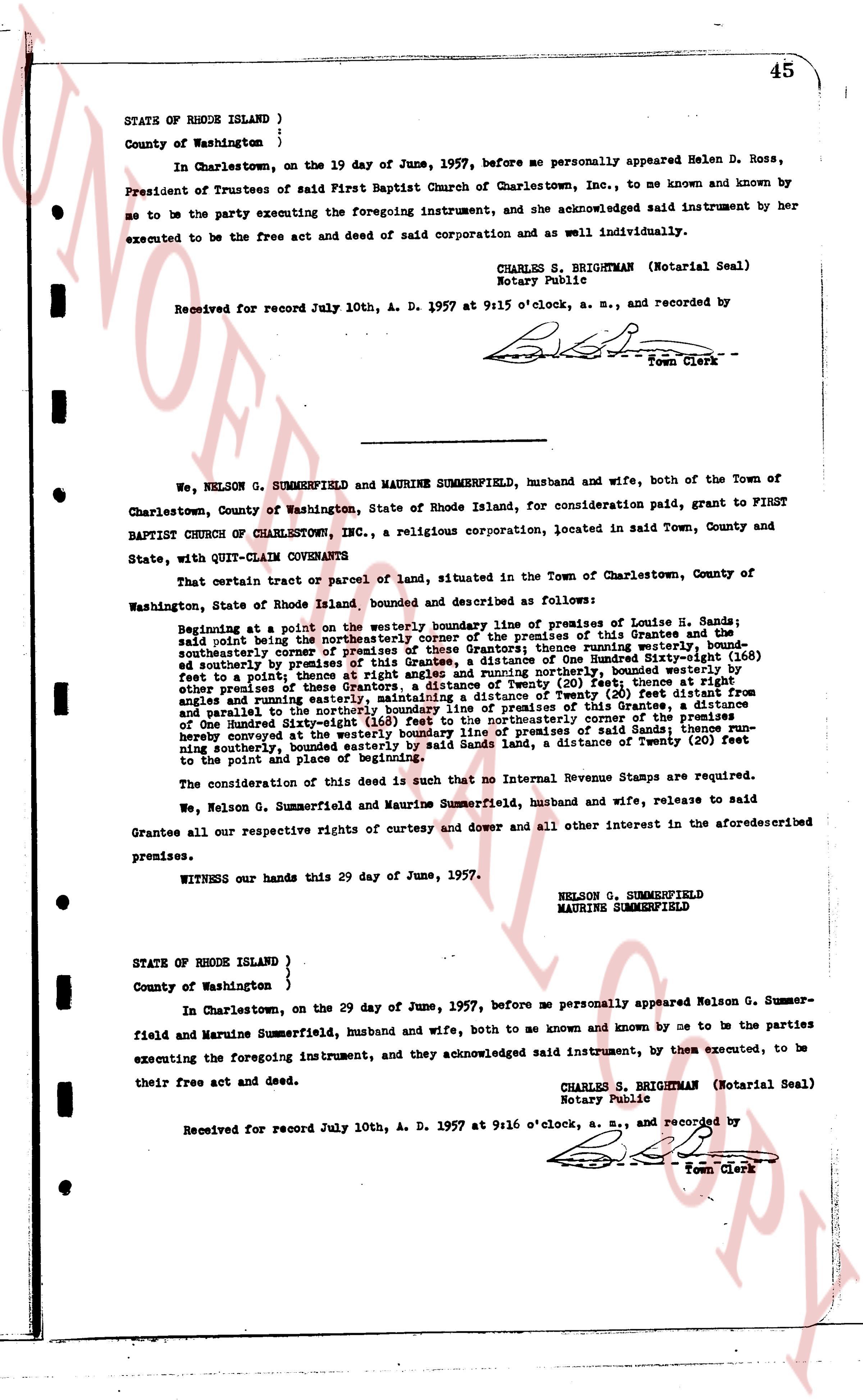
We, NELSON G. SUMMERFIELD and MAURINE SUMMERFIELD, husband and wife, both of the Town of Charlestown, County of Washington, State of Rhode Island, for consideration paid, grant to FIRST BAPTIST CHURCH OF CHARLESTOWN, INC., a religious corporation, located in said Town, County and State, with QUIT-CLAIM COVENANTS
That certain tract or parcel of land, situated in the Town of Charlestown, County of Washington, State of Rhode Island bounded and described as follows:
Beginning at a point in or on the westerly boundary line of premises of Louise H. Sands; said point being the northeasterly corner of the premises of this Grantee and the southeasterly corner of premises of these Grantors; thence running easterly [?] feet, and southeasterly by premises of said Louise H. Sands, a distance of One Hundred Sixty-eight (168) feet to a point; thence at right angles and running northerly, bounded westerly by other premises of these Grantors, a distance of Twenty (20) feet, thence running at right angles and running easterly, maintaining a distance of Twenty (20) feet distant from other premises of these Grantors, a distance of Twenty (20) feet, thence running parallel and easterly to the northeasterly corner of said Sands premises, a distance of One Hundred Sixty-eight (168) feet to the northeasterly corner of the premises; thence running southeasterly by the northeasterly boundary line of said Sands premises, running southeasterly, bounded easterly by said Sands land, a distance of Twenty (20) feet to the point and place of beginning.
The consideration of this deed is such that no Internal Revenue Stamps are required.
We, Nelson G. Summerfield and Maurine Summerfield, husband and wife, release to said Grantee all our respective rights of curtesy and dower and all other interest in the aforementioned premises.
WITNESS our hands this 29 day of June, 1957.
NELSON G. SUMMERFIELD
MAURINE SUMMERFIELD
STATE OF RHODE ISLAND }
}
County of Washington }
In Charlestown, on the 29 day of June, 1957, before me personally appeared Nelson G. Summerfield and Maurine Summerfield, husband and wife, both to me known and known by me to be the parties executing the foregoing instrument, and they acknowledged said instrument, by them executed, to be their free act and deed.
CHARLES S. BRIGHTMAN (Notarial Seal)
Notary Public
Received for record July 10th, A. D. 1957 at 9:16 o'clock, a. m., and recorded by
[Signature]
Town Clerk
The page as recorded