The instrument's own words
page 1 · read by Gemma vision
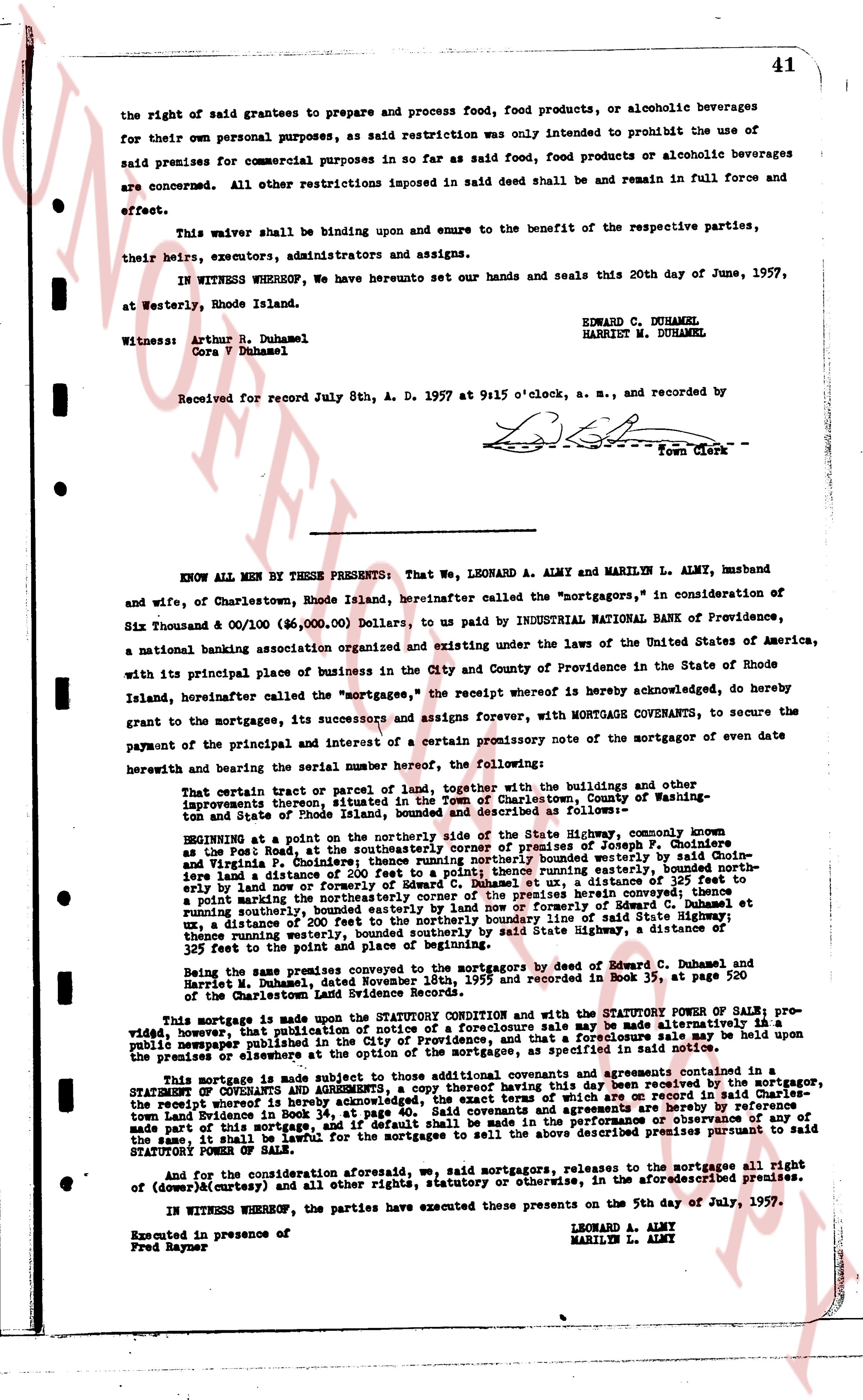
the right of said grantees to prepare and process food, food products, or alcoholic beverages
for their own personal purposes, as said restriction was only intended to prohibit the use of
said premises for commercial purposes in so far as said food, food products or alcoholic beverages
are concerned. All other restrictions imposed in said deed shall and be remain in full force and
effect.
This waiver shall be binding upon and enure to the benefit of the respective parties,
their heirs, executors, administrators and assigns.
IN WITNESS WHEREOF, We have hereunto set our hands and seals this 20th day of June, 1957,
at Westerly, Rhode Island.
EDWARD C. DUHAMEL
HARRIET M. DUHAMEL
Witness: Arthur N. Duhamel
Cara V Duhamel
Received for Record July 8th, A. D. 1957 at 9:15 o'clock, a. m., and recorded by
[Signature]
Town Clerk
----
KNOW ALL MEN BY THESE PRESENTS: That We, LEONARD A. ALMY and MARILYN L. ALMY, husband
and wife, of Charlestown, Rhode Island, hereinafter called the "mortgagors," in consideration of
Six Thousand & 00/100 ($6,000.00) Dollars, to us paid by INDUSTRIAL NATIONAL BANK OF PROVIDENCE,
a national banking association organized and existing under the laws of the United States of America,
with its principal place of business in the City and County of Providence in the State of Rhode
Island, hereinafter called the "mortgagee," the receipt whereof is hereby acknowledged, do hereby
grant to the mortgagees, its successors and assigns forever, with MORTGAGE COVENANTS, to secure the
payment of the principal and interest of a certain promissory note of the mortgagor of even date
herewith and bearing the serial number hereof, the following:
That certain tract or parcel of land together, with the buildings and other improvements there-
on, that is situated in the Town of Charlestown, County of Washington, State of Rhode Island,
bounded and described as follows:
BEGINNING at a point on the northerly side of the State Highway, commonly known
as the Post Road; that southerly corner being the southeast corner of Joseph P. Choudenes
and Virginia P. Choudenes; thence running northerly bounded westerly by said Choudenes
land a distance of 200 feet to a point; thence running easterly along the northerly line of said
Choudenes land a distance of 200 feet to a point; thence running southerly, a distance of 325 feet to
a point marking the northeasterly corner of the premises herein conveyed; thence running
southerly, bounded easterly by the land of the heirs of Emery and Mary [?] [?]
ux, a distance of 200 feet to the northerly boundary line of said State Highway, a distance
thence running easterly along said State Highway, a distance of 200 feet to the point of
beginning at the start and point of place of beginning.
Being the same premises conveyed to the mortgagors by deed of Edward C. Duhamel, and
Harriet M. Duhamel, dated November 10th, 1953 and recorded in Book 35, page 220
of the Charlestown land evidence book.
This mortgage is made upon the STATUTORY CONDITION and with the STATUTORY POWER OF SALE; pro-
vided however, that publication of notice of a foreclosure sale may be made alternatively is a
newspaper published within the town where the premises are located, a foreclosure sale may be held upon the
premises or elsewhere at the option of the mortgagee, as specified in said notice.
This Mortgage is made subject to those additional covenants and agreements contained in a
STATEMENT OF CONDITIONS and AGREEMENTS, dated July 5, 1957, and executed by the mortgagor,
the receipt whereof is hereby acknowledged, the exact terms of which are on record in our sample-
land evidence book recorded in Book 36, page 41, hereinafter referred to as the "Statement of
Terms and Conditions of this mortgage," if default shall be made in the performance or observance of any
of the same, it shall be lawful for the mortgagees to sell the above described premises pursuant to said
STATUTORY POWER OF SALE.
And for the consideration aforesaid, we, said mortgagors, release to the mortgagees all right
of (downer) (curtesy) and all other rights, statutory or otherwise, in the aforementioned premises.
IN WITNESS WHEREOF, the parties have executed these presents on the 5th day of July, 1957.
LEONARD A. ALMY
MARILYN L. ALMY
Executed in presence of
Fred Rayner
page 2 · read by Gemma vision
42
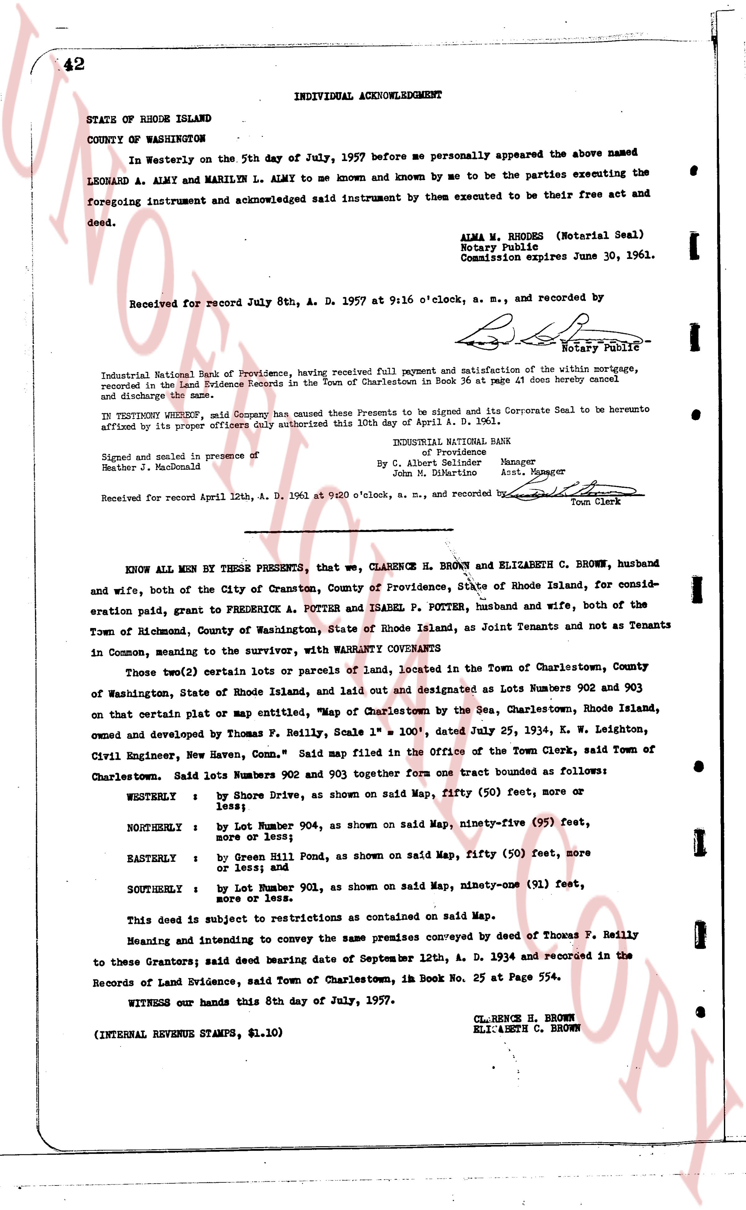
INDIVIDUAL ACKNOWLEDGMENT
STATE OF RHODE ISLAND
COUNTY OF WASHINGTON
In Westerly on the 5th day of July, 1957 before me personally appeared the above named LEONARD A. ALMY and MARILEY L. ACKNOWLEDGED said instrument by them executed to be their free act and foregoing instrument and acknowledged said instrument by them executed to be their free act and foregoing instrument and acknowledged said instrument by them executed to be their free act and deed.
ALMA M. RHODES (Notarial Seal)
Notary Public
Commission expires June 30, 1961.
Received for record July 8th, A. D. 1957 at 9:16 o'clock, a. m., and recorded by
[Signature] Notary Public
Industrial National Bank of Providence, having received full payment and satisfaction of the within mortgage, recorded in the Land Evidence Records in the Town of Charlestown in Book 36 at page 41 does hereby cancel and discharge the same.
In TESTIMONY WHEREOF, said Company has caused these Presents to be signed and its Corporate Seal to be hereunto affixed by its proper officers duly authorized this 10th day of April, A. D. 1961.
INDUSTRIAL NATIONAL BANK
of Providence
By C. Albert Selmdner Manager
John N. S. Martin Asst. Manager
Signed and sealed in presence of
Heather M. MacDonald
Received for record April 12th, A. D. 1961 at 9:20 o'clock, a. m., and recorded by [Signature] Town Clerk
----
KNOW ALL MEN by THESE PRESENTS, that we, CLARENCE H. BROWN and ELIZABETH C. BROWN, husband and wife, both of the City of Cranston, County of Providence, State of Rhode Island, for consideration paid, grant to FREDERICK A. POTTER and ISABEL P. POTTER, husband and wife, both of the Town of Richmond, County of Washington, State of Rhode Island, as Joint Tenants and not as Tenants in Common, meaning to the survivor, with WARRANTY CONVEYANTS
Those two(2) certain lots or parcels of land, located in the Town of Charlestown, County of Washington, State of Rhode Island, and laid out and designated as Lots Numbers 902 and 903 on that certain plat or Map entitled, "Map of Charlestown by the Sea, Charlestown, Rhode Island, owned and developed by Thomas F. Reilly, Scale 1" = 100', dated July 25, 1934, K. W. Leighton, Civil Engineer, New Haven, Conn." Said map filed in the Office of the Town Clerk, said Town of Charlestown.
Said lots Numbers 902 and 903 together form one tract bounded as follows:
WESTERLY : by Shore Drive, as shown on said Map, fifty (50) feet, more or less;
NORTHERLY : by Lot Number 904, as shown on said Map, ninety-five (95) feet, more or less;
EASTERLY : by Green Hill Road, as shown on said Map, fifty (50) feet, more or less; and
SOUTHERLY : by Lot Number 901, as shown on said Map, ninety-one (91) feet, more or less.
This deed is subject to restrictions as contained on said Map.
Meaning and intending to convey the same premises conveyed by deed of Thomas F. Reilly to these Grantors; said deed bearing date of September 12th, a. D. 1934 and recorded in the Records of Land Evidence, said Town of Charlestown, im Book 25 at Page 554.
WITNESS our hands this 8th day of July, 1957.
CL. HENCE H. BROWN
ELIZABETH C. BROWN
(INTERNAL REVENUE STAMPS, $1.10)
The page as recorded