The instrument's own words
page 1 · read by Gemma vision
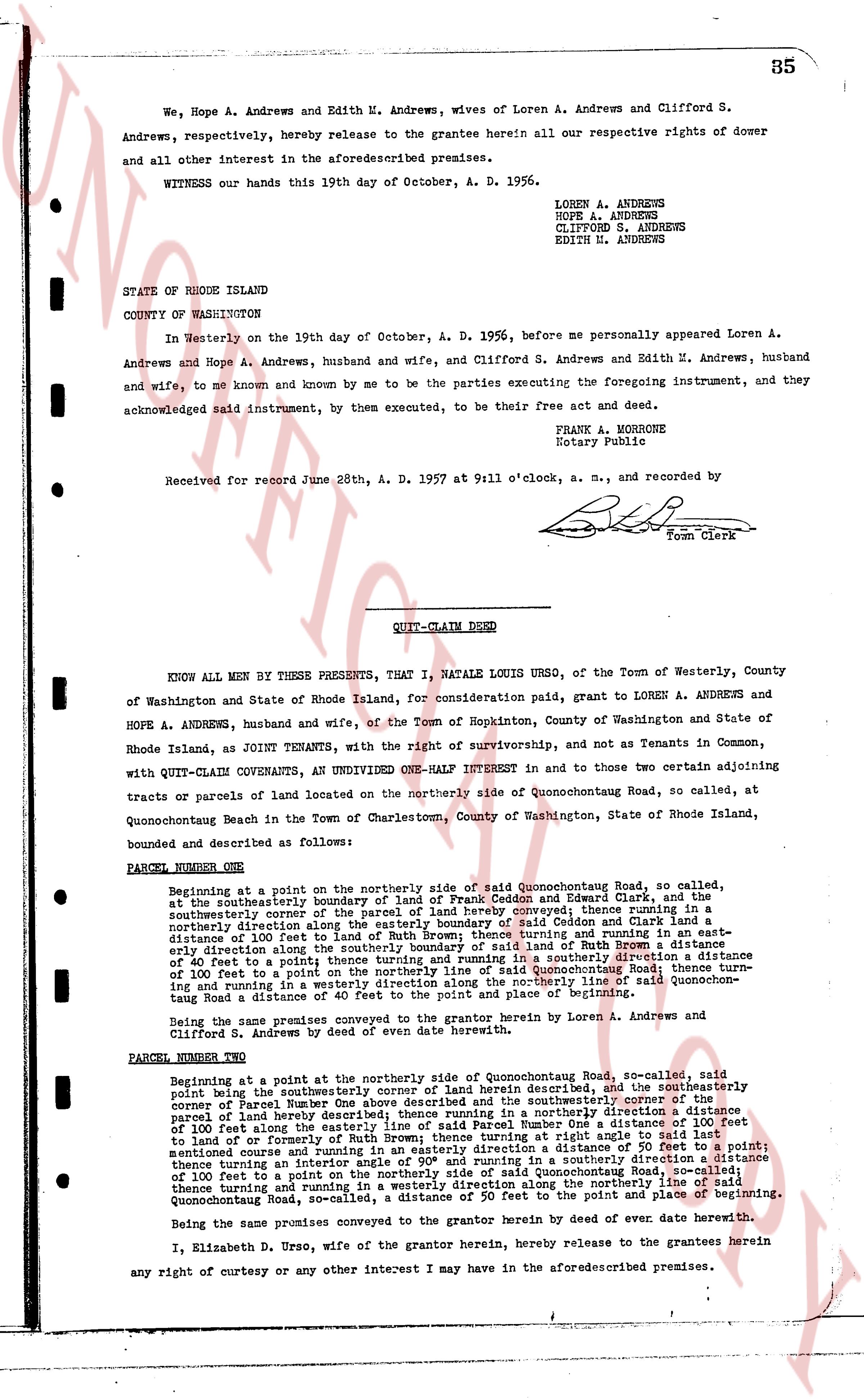
We, Hope A. Andrews and Edith M. Andrews, wives of Loren A. Andrews and Clifford S. Andrews, respectively, hereby release to the grantee herein all our respective rights of dower and all other interest in the aforementioned premises.
WITNESS our hands this 19th day of October, A. D. 1956.
LOREN A. ANDREWS
HOPE A. ANDREWS
CLIFFORD S. ANDREWS
EDITH M. ANDREWS
STATE OF RHODE ISLAND
COUNTY OF WASHINGTON
In Westerly on the 19th day of October, A. D. 1956, before me personally appeared Loren A. Andrews and Hope A. Andrews, husband and wife, and Clifford S. Andrews and Edith M. Andrews, husband and wife, to me known and known by me to be the parties executing the foregoing instrument, and they acknowledged said instrument, by them executed, to be their free act and deed.
FRANK A. MORHONE
Notary Public
Received for record June 28th, A. D. 1957 at 9 11 o'clock, a.m., and recorded by
[Signature]
Town Clerk
----
QUIT-CLAIM DEED
KNOW ALL MEN BY THESE PRESENTS, That I, NATALE LOUIS URSO, of the Town of Westerly, County of Washington and State of Rhode Island, for consideration paid, grant to LOREN A. ANDREWS and HOPE A. ANDREWS, husband and wife, of the Town of Hopkinton, County of Washington and State of Rhode Island, as JOINT TENANTS, with the right of survivorship, and not as Tenants in Common, with QUIT-CLAIM COVENANTS, an UNDIVIDED ONE-HALF INTEREST in and to those two certain adjoining tracts or parcels of land located on the northerly side of Quonochontouag Road, so called, at Quonochontouag Beach in the Town of Charlestown, County of Washington, State of Rhode Island, bounded and described as follows:
PARCEL NUMBER ONE
Beginning at a point on the northerly side of said Quonochontouag Road, so called, at the southerly boundary of land of formerly of and heirs of Edward Clark, on the southwestern corner of the parcel of land hereby conveyed; thence running in a northerly direction along the easterly boundary of said land of Edson and Clark land a distance of 100 feet to the northerly boundary of said land; thence running and running a northeasterly direction along the southerly boundary of said land of Ruth Brown a distance of 100 feet to a point; thence turning and running in a southeasterly direction a distance of 40 feet to a point; thence turning and running in a southerly direction to Quonochontouag Road; thence turning and running in a westerly direction along the northerly line of said Quonochontouag Road a distance of 100 feet to a point, the point of place and parcel of beginning.
Being the same premises conveyed to the grantor herein by Loren A. Andrews and Clifford S. Andrews by deed of even date herewith.
PARCEL NUMBER TWO
Beginning at a point on the northerly side of Quonochontouag Road, so called, said point being the southeasterly corner of land herein described and the southeasterly corner of Parcel Number One above described and the southeasterly corner of the parcel of land hereby described; thence running in a northerly direction a distance of 100 feet along the easterly line of said Parcel Number One a distance of 100 feet to land of or formerly of Ruth Brown thence turning at ninety degrees and running in a northeasterly direction a distance of 50 feet to a point; mentioning house and running in a southeasterly direction a distance of 50 feet to a point; thence turning an interior angle of 90° and running in a southeasterly direction a distance of 100 feet to a point on the northerly side of said Quonochontouag Road; thence turning and running in a westerly direction along the northerly line of said Quonochontouag Road, so-called, a distance of 50 feet to the point of place and parcel of beginning.
Being the same premises conveyed to the grantor herein by deed of even date herewith.
I, Elizabeth D. Urso, wife of the grantor herein, hereby release the grantees herein any right of curtesy or any other interest I may have in the aforementioned premises.
page 2 · read by Gemma vision
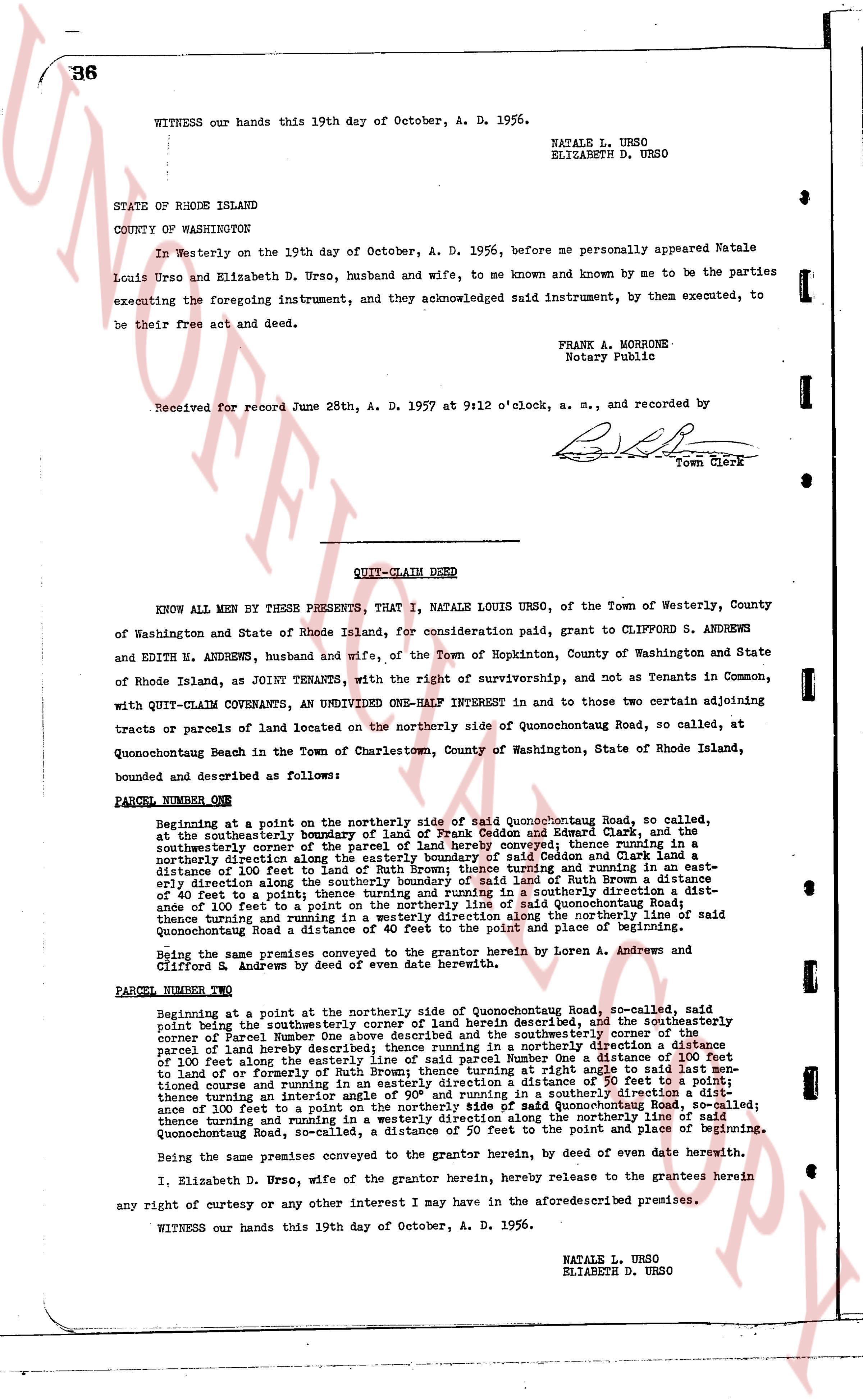
WITNESS our hands this 19th day of October, A. D. 1956.
NATALE L. URSO
ELIZABETH D. URSO
STATE OF RHODE ISLAND
COUNTY OF WASHINGTON
In Westerly on the 19th day of October, A. D. 1956, before me personally appeared Natale Louis Urso and Elizabeth D. Urso, husband and wife, to me known and known by me to be the parties executing the foregoing instrument, and they acknowledged said instrument, by them executed, to be their free act and deed.
FRANK A. MORRONE
Notary Public
Received for record June 28th, A. D. 1957 at 9:12 o'clock, a. m., and recorded by
[Signature]
Town Clerk
----
QUIT-CLAIM DEED
KNOW ALL MEN BY THESE PRESENTS, That I, NATALE LOUIS URSO, of the Town of Westerly, County of Washington and State of Rhode Island, for consideration paid, grant to CLIFFORD S. ANDREWS and EDITH N. ANDREWS, husband and wife, of the Town of Hopkinton, County of Washington and State of Rhode Island, as JOINT TENANTS, with the right of survivorship, and not as Tenants in Common, with QUIT-CLAIM COVENANTS, an UNDIVIDED ONE-HALF INTEREST in and to those two certain adjoining tracts or parcels of land located on the northerly side of Quonochontougan Road, so called, at Quonochontougan Beach in the Town of Charlestown, County of Washington, State of Rhode Island, bounded and described as follows:
PARCEL NUMBER ONE
Beginning at a point on the northerly side of said Quonochontougan Road, so called, at the southeasterly boundary of land of Frank Ceddon and Edward Clark, and at the southeasterly corner of the land of Frank Ceddon, thence running in a northerly direction along the easterly boundary of said Ceddon and Clark land a distance of 100 feet to the northerly boundary of said land, thence running east-southeasterly direction along the southerly boundary of land of Ruth A Brown a distance of 40 feet to a point; thence running and turning in a southerly direction a distance of 100 feet to a point on the northerly side of said Quonochontougan Road; thence turning and running in a westerly direction along the northerly line of said Quonochontougan Road a distance of 40 feet to the point and place of beginning.
Being the same premises conveyed to the grantor herein by Loren A. Andrews and Clifford R. Andrews by deed of even date herewith.
PARCEL NUMBER TWO
Beginning at a point on the northerly side of Quonochontougan Road, so called, said point being the southeasterly corner of land herein described, and the southwesterly corner of parcel Number One above described and the southwesterly corner of the southeasterly parcel of land hereby described, thence running northerly direction a distance of 100 feet along the easterly line of said parcel Number One a distance of 100 feet thence turning right at an angle of 90° and running east-southeasterly direction to land of or formerly of Ruth Brown; thence turning right at an angle of 90° and running a distance of 50 feet to a point; thence turning an interior angle of 90° and running in a southerly direction a distance of 100 feet to a point on the northerly side of said Quonochontougan Road; thence turning and running in a westerly direction along the northerly line of said Quonochontougan Road, so-called, a distance of 50 feet to the point and place of beginning.
Being the same premises conveyed to the grantor herein, by deed of even date herewith.
I, Elizabeth D. Urso, wife of the grantor herein, hereby release to the grantees herein any right of courtesy or any other interest I may have in the aforementioned premises.
WITNESS our hands this 19th day of October, A. D. 1956.
NATALE L. URSO
ELIZABETH D. URSO
The page as recorded