The instrument's own words
page 1 · read by Gemma vision
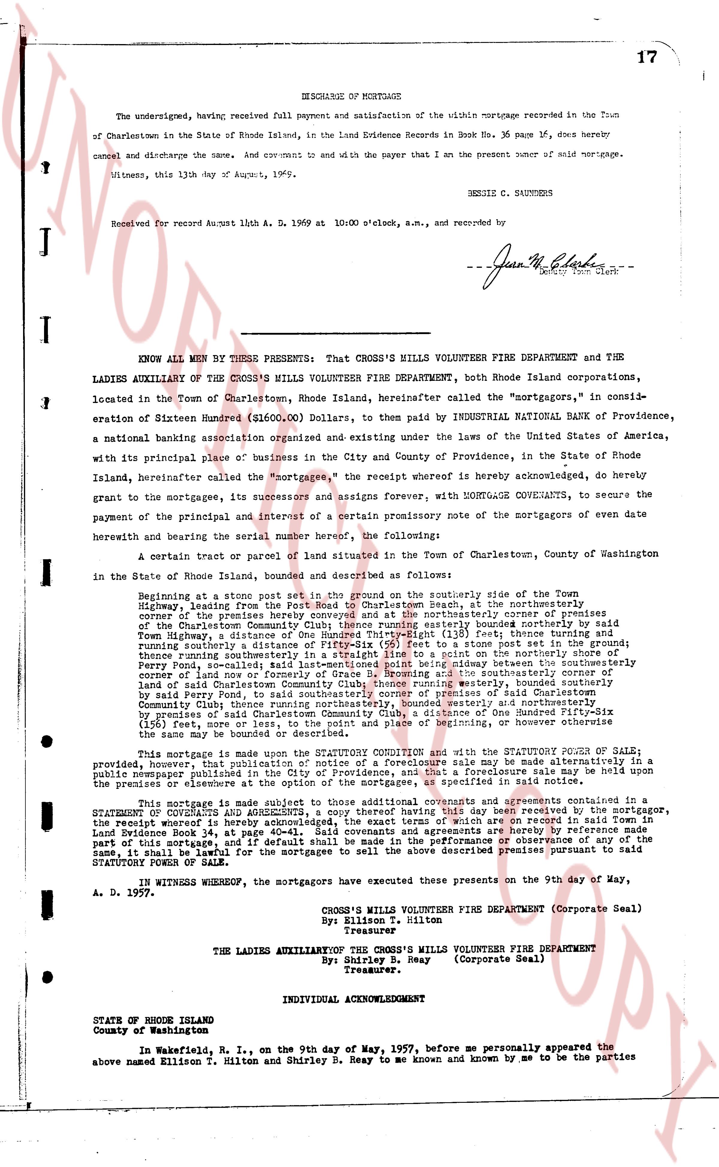
17
DISCHARGE OF MORTGAGE
The undersigned, having received full payment and satisfaction of the within mortgage recorded in the Town of Charlestown in the State of Rhode Island, in the Land Evidence Records in Book No. 36 page 17, does hereby cancel and discharge the same. And covenant to and with the payer that I am the present owner of said mortgage.
Witness, this 13th day of August, 1969.
DENNIS C. SAUNDERS
Received for record August 11th A. D. 1969 at 10:00 o'clock, a.m., and recorded by
--Jean M. Clark--
Deputy Town Clerk
----
KNOW ALL MEN BY THESE PRESENTS: That CROSS'S MILLS VOLUNTEER FIRE DEPARTMENT and THE LADIES AUXILIARY OF THE CROSS'S MILLS VOLUNTEER FIRE DEPARTMENT, both Rhode Island corporations, located in the Town of Charlestown, Rhode Island, hereinafter called the "mortgagors," in consideration of Sixteen Hundred ($1600.00) Dollars, to be paid by INDUSTRIAL NATIONAL BANK OF Providence, a national banking association organized and existing under the laws of the United States of America, with its principal place of business in the City and County of Providence, in the State of Rhode Island hereinafter called the "mortgagee," the receipt whereof is hereby acknowledged, do hereby grant to the mortgagee, its successors and assigns forever, WITH MORTGAGE COVENANTS, to secure the payment of the principal and interest of a certain promissory note of the mortgagors of even date herewith and bearing the serial number hereof, the following:
A certain tract or parcel of land situated in the Town of Charlestown, County of Washington in the State of Rhode Island, bounded and described as follows:
Beginning at a stone post set on the ground on the southerly side of the Town Highway, leading from the Post Road from Charlestown Beach, at the northeasterly corner of the premises here conveyed and at the northeasterly corner of the premises of:
Town Highway, a distance of One Hundred Thirty-Eight (138) feet thence easterly bounded northerly side Town Highway, a distance of One Hundred Thirty-Eight (138) feet thence southerly to a stone post set on the ground;
running northerly, a distance of One Hundred Thirty-Eight (138) feet thence stone post set on the ground;
thence running straightly in a straight line to a point on the northerly shore of
Perry Pond, described as follows: Beginning at a stone post set on the ground at the northeasterly corner of land now or formerly of George B. Browning and the southeasterly corner of
land or said Butterworth, running southerly, a distance of One Hundred Twenty (120) feet, bounded westerly by said Perry Pond, to said southeasterly corner of premises of said Charlestown
Community Club then running easterly, a distance of One Hundred Twenty (120) feet, bounded northerly by
premises of said Charlestown Community Club, a distance of One Hundred Fifty-Six (156) feet, more or less, to the point of beginning, or however otherwise the same may be bounded and described.
This mortgage is made upon the STATUTORY CONDITION and with the STATUTORY POWER OF SALE;
provided, however, that publication of notice of a foreclosure sale, as may be required by law, may be held openly in a public newspaper published in the Town of Charlestown. A foreclosure sale may be held upon the premises or elsewhere at the option of the mortgagee, as specified in said note.
This mortgage is made subject to those additional covenants and agreements contained in a STATUTORY CONDITION and AGREEMENT recorded in Land Evidence Records in the Town of Charlestown, the receipt whereof is hereby acknowledged, the exact terms of which are recorded in said Town in Book 35 page 117. And the mortgagors hereby covenant that they will perform every part of this mortgage, and if default shall be made in the performance or observance of any of the same, it shall be lawful for the mortgagee to sell the above described premises pursuant to said STATUTORY POWER OF SALE.
IN WITNESS WHEREOF, the mortgagors have executed these presents on the 9th day of May, A. D. 1957.
CROSS'S MILLS VOLUNTEER FIRE DEPARTMENT (Corporate Seal)
By: Ellison T. Hilton
Treasurer
THE LADIES AUXILIARY OF THE CROSS'S MILLS VOLUNTEER FIRE DEPARTMENT
By: Shirley B. R. Reay (Corporate Seal)
Treasurer.
INDIVIDUAL ACKNOWLEDGMENT
STATE OF RHODE ISLAND
County of Washington
In Wakefield, R. I., on the ninth day of May, 1957, before me personally appeared the above named Ellison T. Hilton and Shirley B. Reay to me and known by me and known by me to be the parties
page 2 · read by Gemma vision
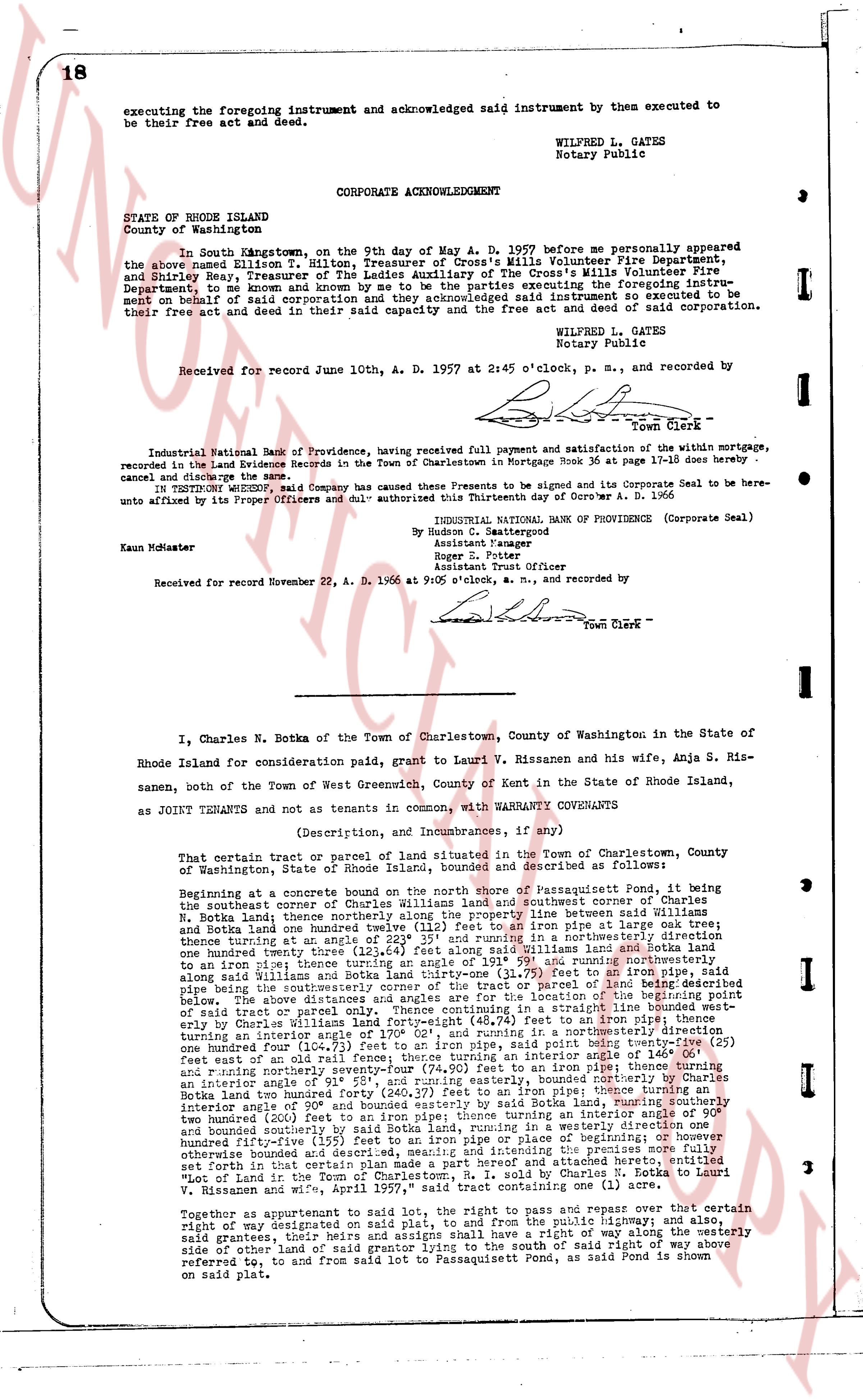
executing the foregoing instrument and acknowledged said instrument by them executed to
be their free act and deed.
WILFRED L. GATES
Notary Public
CORPORATE ACKNOWLEDGMENT
STATE OF RHODE ISLAND
County of Washington
In South Kingstown, on the 9th day of May A. D. 1957 before me personally appeared
the above named Hilton T. Milton, Treasurer of Cross's Mills Volunteer Fire Department,
and Shirley Bay, Treasurer of the Ladies Auxiliary of the Cross's Mills Volunteer Fire
Department, to me known and known to me to be the persons executing the foregoing instru-
ment on behalf of said corporation and they acknowledged said instrument so executed to be
their free act and deed in their said capacity and the free act and deed of said corporation.
WILFRED L. GATES
Notary Public
Received for record June 10th, A. D. 1957 at 2:45 o'clock, p. m., and recorded by
Town Clerk
----
Industrial National Bank of Providence, having received full payment and satisfaction of the within mortgage,
recorded in the Land Evidence Records in the Town of Charlestown in Mortgage Book 36 at page 17-18 does hereby
cancel and discharge the same.
IN TESTIMONY WHEREOF, said Company has caused the Presents to be signed and its Corporate Seal to be here-
unto affixed by its Proper Officers and duly authorized this Thirtieth day of October A. D. 1966
INDUSTRIAL NATIONAL BANK OF PROVIDENCE (Corporate Seal)
By [signature]
Assistant Manager
By [signature]
Assistant Trust Officer
Kaun McMaster
Received for record November 22, A. D. 1966 at 9:05 o'clock, a. m., and recorded by
Town Clerk
----
I, Charles N. Botka of the Town of Charlestown, County of Washington in the State of
Rhode Island for consideration paid, grant to Lauri W. Rissanen and his wife, Anja S. Ris-
sanen, both of the Town of West Greenwich, County of Kent in the State of Rhode Island,
as JOINT TENANTS and not as tenants in common, with WARRANTY COVENANTS
(Description, and Incumbrances, if any are)
That certain tract or parcel of land situated in the town of Charlestown, County of
Washington, state of Rhode Island, bounded and described as follows:
Beginning at a concrete corner boundary marker at the north end of Passaquisset Pond, it being
the southeast corner of reference Charles Williams land and southeast corner of Charles
N. Botka land; thence northerly along the property line between Williams and Botka
and Botka land one hundred (100) feet to a stone boundary marker or iron pipe at grade arm's
throw; thence turning at an angle of 232° 35' and running in a northerly direction along the
boundary line between Williams land and Botka land one hundred (100) feet to a stone
or an iron pipe; thence turning at an angle of 191° 59' and running northerly along
said Williams land one hundred (100) feet to a stone or an iron pipe; thence turning at an
pipe being the southeasterly corner of the tract or parcel of land being described
below, then a line along the shore of Passaquisset Pond to the northeast corner of
said tract or parcel only. Thence continuing in a straight line bounded west-
erly by Charles Williams land one hundred (100) feet to a stone boundary marker,
turning an interior angle of 170° 02' and running in a northerly direction one
hundred (100) feet to an iron pipe; thence turning an interior angle of 148° 11' and
running northwesterly one hundred (100) feet to a stone boundary marker or iron pipe at grade
feet east of wall and road fence; thence turning an interior angle of 146° 04' and
running northerly one hundred (100) feet to an iron pipe; thence turning an interior
angle of 180° 51', and running easterly, bounded northerly by Charles
Botka land two hundred forty (240.27) feet to an iron pipe; thence turning a
interior angle of 200° 00' and running southwesterly by said Botka land, running southerly
one hundred (100) feet to an iron pipe; thence turning an
two hundred (200) feet to an iron pipe; thence turning an angle of 155° 11' and
bounded south by road one hundred (100) feet in a westerly direction one
hundred fifty-five (155) feet to an iron pipe or pipe or piece of beginning or however
otherwise bounded and described, including the premises and appurtenances there
set forth in that certain map made part and a perfect amendment to attached hereto, entitled
"Map of Land in the Town of Charlestown, State of Rhode Island by Council Land Surveyors,
W. Rissanen and wife," page 197, said tract containing one acre (1) to an angle.
Together as appurtenant to said lot, the right to pass and repass over that certain
right of way designated as such on the aforesaid map, in perpetuity, 함께 and also,
said grantees, four heirs and assigns shall have a right of way along the westerly
side of other land of said grantor lying to the south of said right of way above
referred to, and from said lot to Passaquisset Pond, as said Pond is shown
referring to, and from said lot to Passaquisset Pond, as said Pond is shown
on said plat.
The page as recorded