The instrument's own words
page 1 · read by Gemma vision
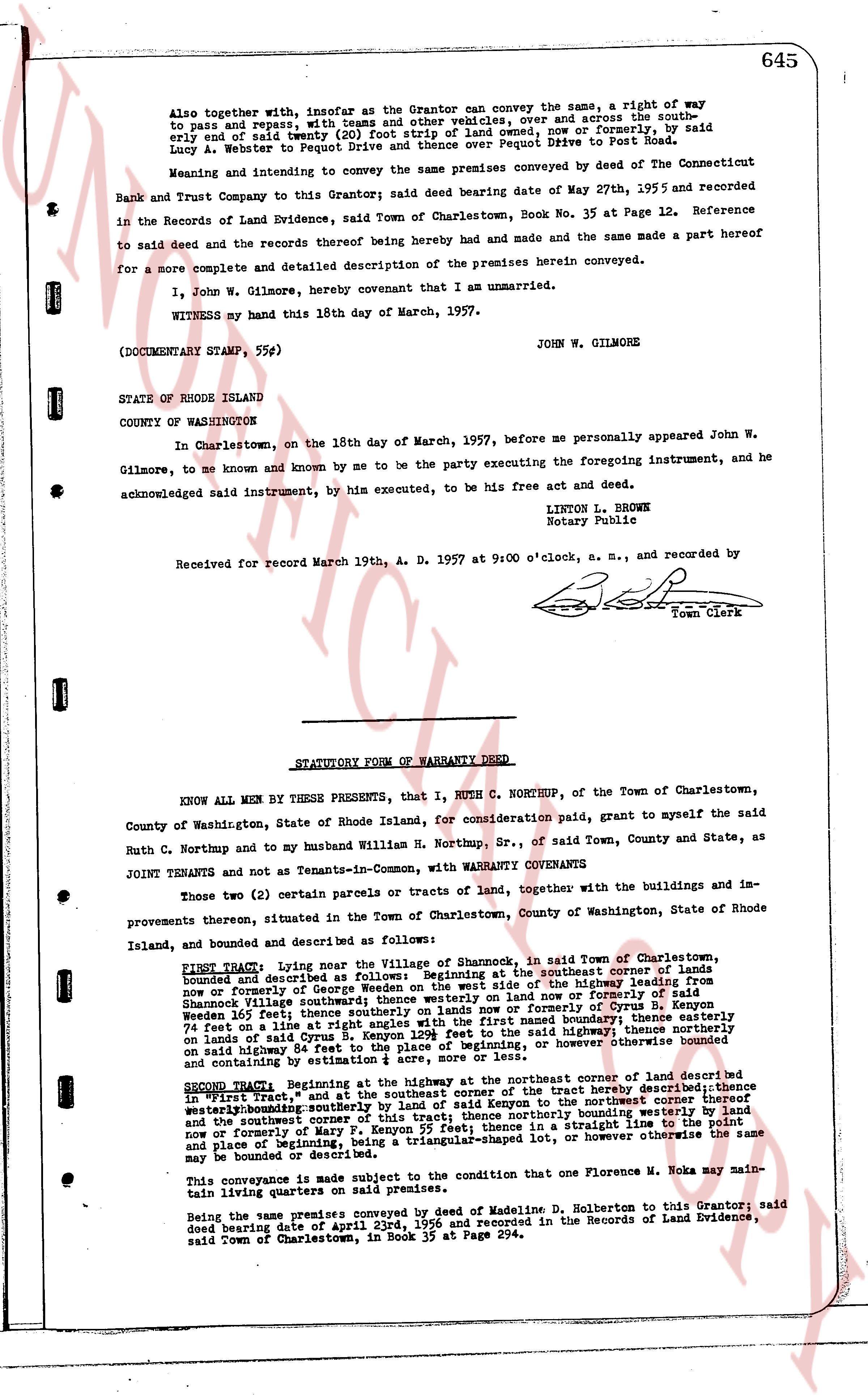
645
Also together with, insofar as the Grantor can convey the same, a right of way to pass and repass, with the usual privileges, over, and across the southeasterly end of a sixty (60) foot strip of land owned, now or formerly, by said Lucy A. Webster to Pequot Drive and thence over Pequot Drive to Post Road.
Meaning and intending to convey the same premises conveyed by deed of The Connecticut Bank and Trust Company as said Grantor said deed bearing date of May 27th, 1955 and recorded in the Records of Land Evidence, said Town of Charlestown, Book No. 35 at Page 12. Reference to said deed and the records thereof being hereby made and had and the same made a part hereof for a more complete and detailed description of the premises herein conveyed.
I, John W. Gilmore, hereby covenant that I am unmarried.
WITNESS my hand this 18th day of March, 1957.
JOHN W. GILMORE
(DOCUMENTARY STAMP, 55¢)
STATE OF RHODE ISLAND
COUNTY OF WASHINGTON
In Charlestown, on the 18th day of March, 1957, before me personally appeared John W. Gilmore, to me known and known by me to be the party executing the foregoing instrument, and he acknowledged said instrument, by him executed, to be his free act and deed.
LINTON L. BROWN
Notary Public
Received for record March 19th, A. D. 1957 at 9:00 o'clock, a. m., and recorded by
[Signature]
Town Clerk
----
STATUTORY FORM OF WARRANTY DEED
KNOW ALL MEN BY THESE PRESENTS, that I, RUTH C. NORTHUP, of the Town of Charlestown, County of Washington, State of Rhode Island, for consideration paid, grant to myself the said Ruth C. Northup and to my husband William H. Northup, Sr., of said Town, County and State, as JOINT TENANTS and not as Tenants-in-Common, with WARRANTY COVENANTS
Two (2) certain parcels or tracts of land, together with the buildings and improvements thereon, situated in the Town of Charlestown, County of Washington, State of Rhode Island, and bounded and described as follows:
FIRST TRACT: Lying near the Village of Shannock, in said Town of Charlestown, bounded and described as follows: Beginning at the southeast corner of lands owned and recorded in the name of George Wooden on the west on the highway running from Shannock Village southeasterly to the southeast corner of land now or formerly owned by Wooden said west line extending southeasterly on lands now or formerly of Cyrus B. Kenyon southeasterly thence southerly on lands owned by [?] and bounded westerly, thence southeasterly 74 feet on a line at right angle southeasterly to the southeast boundary, thence southeasterly on lands of said Kenyon to a point 129 feet to the base of beginning, thence northerly or otherwise on said highway 84 feet to the place of beginning, or however otherwise the same may be bounded and consisting by estimate of 1.10 acres.
SECOND TRACT: Beginning at the highway at the northeast corner of the aforesaid described "First Tract," and at the southeast corner of the first tract hereby described; thence westerly on the highway to the northeast corner of the first tract hereby described; thence northeasterly on the boundary of the first tract hereby described to the northwest corner thereof and the southeast corner of this tract; thence northerly bounded southeasterly on lands of the County of Washington to a point on a straight line to the point and place of beginning, being a triangular-shaped lot, or however otherwise the same may be bounded or described.
This conveyance is made subject to the condition that one Florence M. Noka may maintain living quarters on said premises.
Being the same premises conveyed by deed of Madeline D. Holberton to this Grantor, said deed bearing date of April 23rd, 1956 and recorded in the Records of Land Evidence, said Town of Charlestown, in Book 35 at Page 294.
page 2 · read by Gemma vision
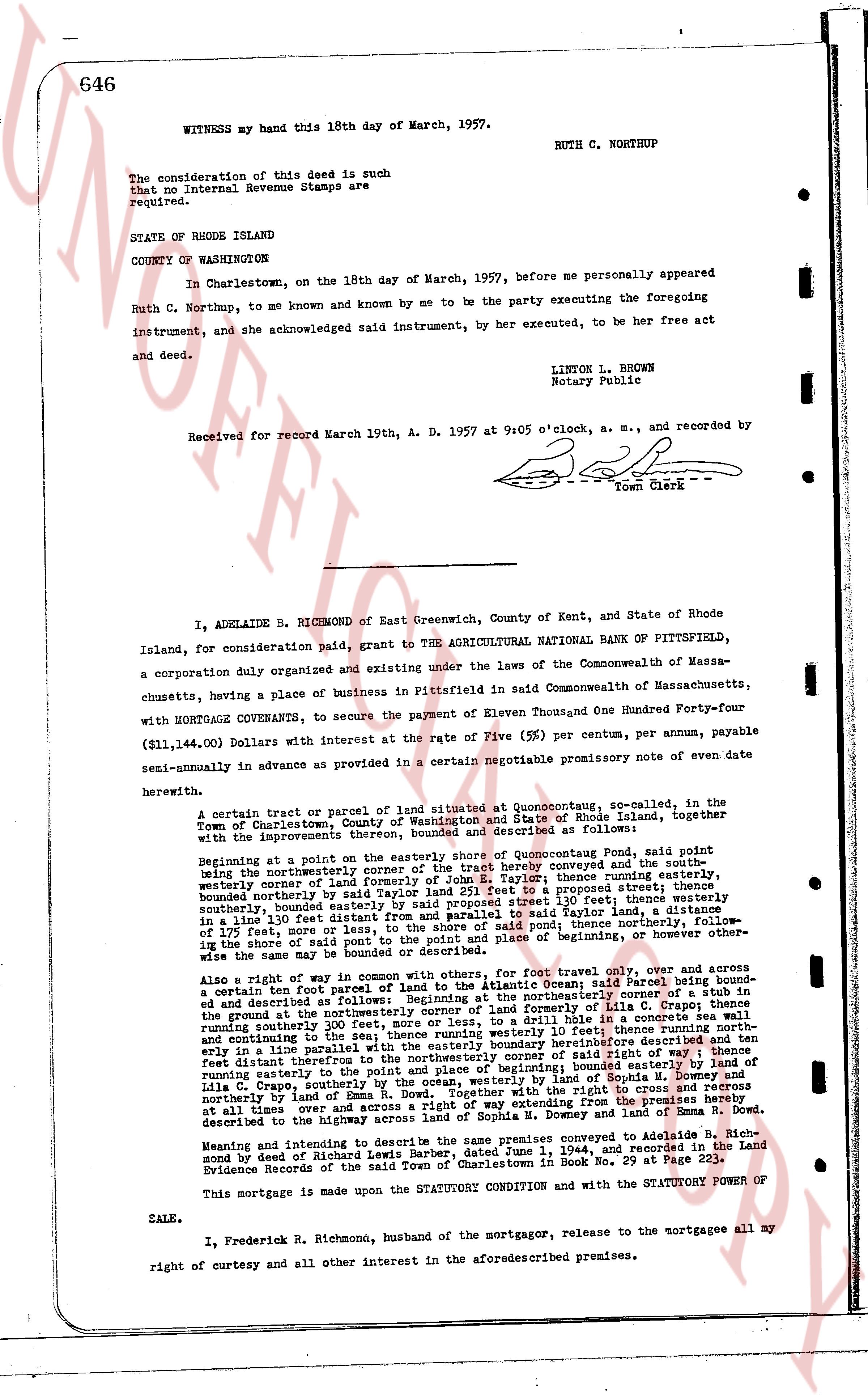
646
WITNESS my hand this 18th day of March, 1957. RUTH C. NORTHUP
The consideration of this deed is such that no Internal Revenue Stamps are required.
STATE OF RHODE ISLAND
COUNTY OF WASHINGTON
In Charlestown, on the 18th day of March, 1957, before me personally appeared Ruth C. Northup, to me known and by me to be the party executing the foregoing instrument, and she acknowledged said instrument, by her executed, to be her free act and deed.
LIONEL L. BROWN
Notary Public
Received for record March 19th, A. D. 1957 at 9:05 o'clock, a. m., and recorded by
[signature]
Town Clerk
----
I, ADELAIDE B. RICHMOND of East Greenwich, County of Kent, and State of Rhode Island, for consideration paid, grant TO THE AGRICULTURAL NATIONAL BANK OF PITTSFIELD, a corporation duly organized and existing under the laws of the Commonwealth of Massachusetts, having a place of business in Pittsfield in said Commonwealth of Massachusetts, with MORTGAGE COVENANTS, to secure the payment of Eleven Thousand One Hundred Forty-four ($11,144.00) Dollars with interest at the rate of Five (%) per centum, per annum, payable semi-annually in advance as provided in a certain negotiable promissory note of even date herewith.
A certain tract or parcel of land situated at Quonocutong, so called, in the Town of Charlestown, County of Washington and State of Rhode Island, together with the improvements thereon, bounded and described as follows:
Beginning at a point on the easterly shore of Quonocutong Pond; said point being the northeasterly corner of land conveyed to Aubrey company and the southeasterly corner of land formerly of John E. Taylor; thence running easterly, southeasterly corner of land formerly of John E. Taylor land 29 1/2 feet to a property line running southeasterly in a line parallel with a wall to a point opposed street line 130 feet; thence westerly running bounded southeasterly by said Taylor land 29 1/2 feet; thence running northerly, bounded easterly in a line 130 feet distant from and parallel with wall to said Taylor line, thence running northerly, bounded easterly in a line 130 feet distant from and parallel with wall to said Taylor line, thence northerly, following a line 175 feet, more or less, to a point on said pond; thence northerly, following the shore of the pond same to point of place and beginning of, however other otherwise the same may be bounded and described.
Also a right of way in common with others, for foot travel only, over and across a certain ten foot part of corner lands of a salt marsh at Atlantic Ocean with a fence bounding and described as following: beginning at the northeasterly corner of land formerly of Lila C. Crapo; thence running southeasterly 300 feet to the southeasterly corner of said land; thence running southwesterly in a line 130 feet distant from and parallel with wall to said Taylor line, thence running northeasterly in a line 130 feet distant from and parallel with wall to said Taylor line, thence running northeasterly in a line 130 feet distant from and parallel with wall to said Taylor line, thence running easterly ten feet distant thereafter to the northeasterly corner of said right of way; thence running easterly to the point of place and beginning of said right of way; bounded northerly by land of Sophia M. Downey and southerly by land of Lila C. Crapo; further subject to the right of way of the public coming from the premises hereby described to the highway across land of Sophia M. Downey and land of Emma R. Dow.
Meaning and intending to describe the same premises conveyed to Adelaide B. Richmond by deed of Richard Leonard dated October 24, 1954, and recorded in the Land Evidence Records of the said Town of Charlestown in Book No. 29 at Page 223.
This mortgage is made upon the STATUTORY CONDITION and with the STATUTORY POWER OF SALE.
I, Frederick R. Richmond, husband of the mortgagor, release to the mortgagee all my right of curtesy and all other interest in the aforementioned premises.
The page as recorded