The instrument's own words
page 1 · read by Gemma vision
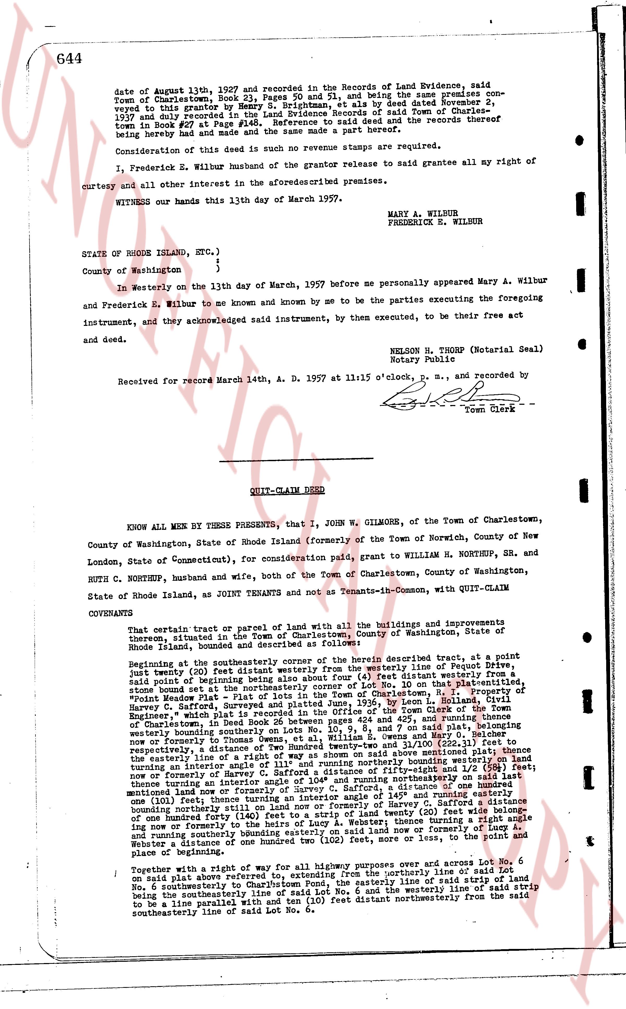
644
date of August 13th 1897 and recorded in the Records of Land Evidence, said
Town of Charlestown, Book 23, Pages 50 and 51, and being the same premises con-
veyed to this grantor by Henry S. Brightman, et als by deed dated November 2,
1937 and duly recorded in Land Evidence Records of said Town of Charlestown
book 30 book #2 Page #148. Reference to said deed and the records thereof
being hereby made and had and the same be made a part hereof.
Consideration of this deed is such no revenue stamps are required.
I, Frederick E. Wilbur husband of the grantor release to said grantee all my right of
curtesy and all other interest in the aforesaid described premises.
WITNESS our hands this 13th day of March 1957.
MARY A. WILBUR
FREDERICK E. WILBUR
STATE OF RHODE ISLAND, ETC.)
)
County of Washington )
In Westerly on the 13th day of March, 1957 before me personally appeared Mary A. Wilbur
and Frederick E. Wilbur to me known and by me to be the parties executing the foregoing
instrument, and they acknowledged said instrument, by then executed, to be their free act
and deed.
NELSON H. THORP (Notarial Seal)
Notary Public
Received for record March 14th, A. D. 1957 at 11:15 o'clock, p. m., and recorded by
[Signature]
Town Clerk
----
QUIT-CLAIM DEED
KNOW ALL MEN BY THESE PRESENTS, that I, JOHN W. GILMORE, of the Town of Charlestown,
County of Washington, State of Rhode Island (formerly of the Town of Norwich, County of New
London, State of Connecticut), for consideration paid, grant to WILLIAM H. NORTHUP, SR. and
RUTH C. NORTHUP, husband and wife, both of the Town of Charlestown, County of Washington,
State of Rhode Island, as JOINT TENANTS and not as Tenants-in-Common, with QUIT-CLAIM
COVENANTS:
That certain tract or parcel of Land with all the buildings and improvements
thereon, situated in the Town of Charlestown, County of Washington, State of
Rhode Island, husband and described as follows:
Beginning at the southeasterly corner of the herein described tract, at a point
just twenty (20) feet distance southeasterly to the westerly line of Pequot Drive,
said point of beginning also being about four (4) feet distance southeasterly to
said point of beginning also being about four (4) feet distance southeasterly to
No. 10 on that platted section, "Point
Meadow Plan - Plot of Lots in the Town of Charlestown, R. I." Property of
Harvey C. Safford, contained in Land Evidence Records of said Town of Charlestown,
Engineer's map which is placed in the Office of the Town Clerk of the Town of
Charlestown, in book 12, page 123, and being on the north and 25% [?] and easterly
boundary of said platted section, a line running southeasterly on Lots No. 10, 9, 8 and 7 on said plat, belotming
westerly boundary on southeasterly on Lots No. 10, 9, 8 and 7 on said plat, belotming
now or formerly to Thomas Owen, a distance of three and 22/100 (3.22) feet to
respectively, a distance of one hundred twenty-three and 21/100 (123.21) feet to
easterly the entire line of a right of way as shown above described running southeasterly
turning northwestly a distance of one hundred twenty-three and 21/100 (123.21) feet to
now or formerly of Harvey C. Safford a distance of fifty-five and 10/100 (55.10) feet
turning northwestly a distance of one hundred twenty-three and 14/100 (123.14) feet
mentioned land now or formerly of Harvey C. Safford, a distance of one hundred
twenty-three and 14/100 (123.14) feet turning northwesterly 145° and running easterly
one hundred twenty-three and 14/100 (123.14) feet now or formerly of Harvey C. Safford, a
boundary running northeasterly until now or formerly of Harvey C. Safford, a distance of
one hundred forty feet (140) then turning northwesterly twenty (20) feet wide being along
now or formerly to the heirs of Aubrey A. Water, thence turning a right angle and
running northeasterly to the boundary line of said land now or formerly of said
Water, a distance of one hundred two (102) feet, more or less, to the point and
place of beginning.
Together with a right of way for all highway purposes over and across Lot No. 6
on said plan above referred to, extending from the northerly line of said Lot
No. 6 southeasterly to Charlestown Pond, the westerly line of said strip of land
being the southeasterly line of said Lot No. 6 and the westerly line of said strip
to be a line parallel with and ten (10) feet distant northwesterly from the said
southeasterly line of said Lot No. 6.
page 2 · read by Gemma vision
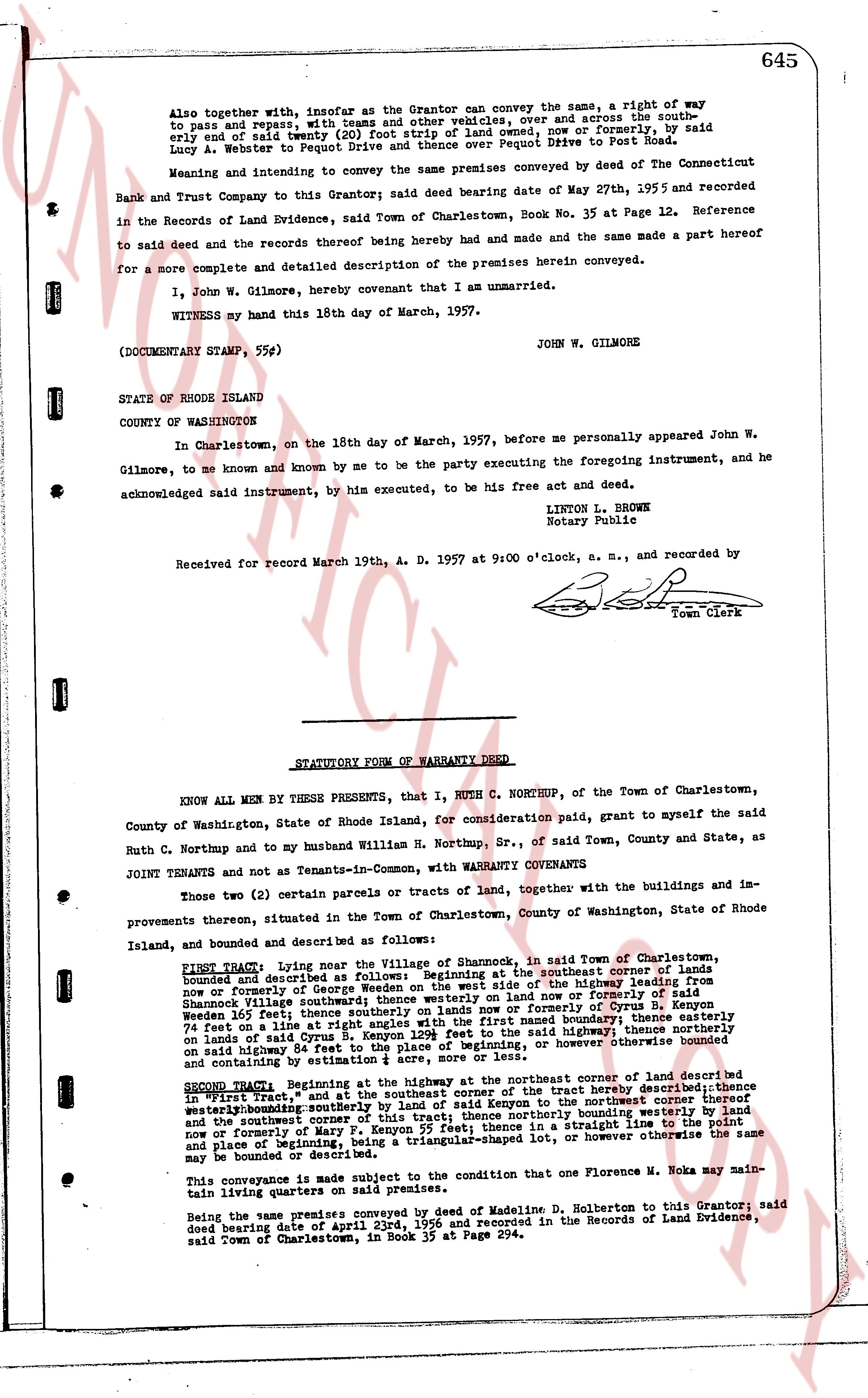
645
Also together with, insofar as the Grantor can convey the same, a right of way to pass and repass, with the usual privileges, over, and across the southerly ten (10) and one half feet nearly (10) foot strip of land owned, now or formerly, by said Lucy A. Webster to Pequot Drive and thence over Pequot Drive to Post Road.
Meaning and intending to convey the same premises conveyed by deed of The Connecticut Bank and Trust Company as said Grantor said deed bearing date of May 27th, 1955 and recorded in the Records of Land Evidence, said Town of Charlestown, Book No. 35 on Page 12. Reference to said deed and the records thereof being hereby made and had and the same made a part hereof for a more complete and detailed description of the premises herein conveyed.
I, John W. Gilmore, hereby covenant that I am unmarried.
WITNESS my hand this 18th day of March, 1957.
JOHN W. GILMORE
(DOCUMENTARY STAMP, 55¢)
STATE OF RHODE ISLAND
COUNTY OF WASHINGTON
In Charlestown, on the 18th day of March, 1957, before me personally appeared John W. Gilmore, to me known and known by me to be the party executing the foregoing instrument, and he acknowledged said instrument, by him executed, to be his free act and deed.
LINTON L. BROWN
Notary Public
Received for record March 19th A. D. 1957 at 9:00 o'clock, a. m., and recorded by [signature]
Town Clerk
----
STATUTORY FORM OF WARRANTY DEED
KNOW ALL MEN BY THESE PRESENTS, that I, RUTH C. NORTHUP, of the Town of Charlestown, County of Washington, State of Rhode Island, for consideration paid, grant to myself the said Ruth C. Northup and to my husband William H. Northup, Sr., of said Town, County and State, as JOINT TENANTS and not as Tenants-in-Common, with WARRANTY COVENANTS
Two (2) certain parcels or tracts of land, together with the buildings and improvements thereon, situated in the Town of Charlestown, County of Washington, State of Rhode Island, and bounded and described as follows:
FIRST TRACT: Lying near the Village of Shannock, in said Town of Charlestown, bounded and described as follows: Beginning at the southeast corner of lands owned and recorded in the name of George Wooden on the west side of the highway running from Shannock Village southeasterly to the south side of land now or formerly by said George Wooden west thence southerly on lands of said George Wooden land now or formerly by Cyrus B. Kenyon westerly 100 feet thence southerly on lands of said George Wooden land now or formerly by Cyrus B. Kenyon 74 feet on a line at right angle with said southeast boundary, thence northerly with the boundary lines of land of said George Wooden westerly 128 feet to the base of beginning, nor however otherwise the same on said highway 84 feet to the place of beginning, or however otherwise the same may be bounded or described as containing by estimate 0.15 acres.
SECOND TRACT: Beginning at the highway at the northeast corner of the first described "First Tract," and at the southeast corner of the first tract hereby described; thence westerly along the northerly boundary of the first tract to the northwest corner thereof westerly along the northerly boundary of the first tract to the northwest corner of the first tract and the southwest corner of this tract; thence northerly bounden by a straight line to the point and place of beginning, being a triangular-shaped lot, or however otherwise the same may be bounded or described.
This conveyance is made subject to the condition that one Florence M. Noka may maintain living quarters on said premises.
Being the same premises conveyed by deed of Madeline D. Holberton to this Grantor, said deed bearing date of April 23rd, 1956 and recorded in the Records of Land Evidence, said Town of Charlestown, in Book 35 at Page 294.
The page as recorded