The instrument's own words
page 1 · read by Gemma vision
641
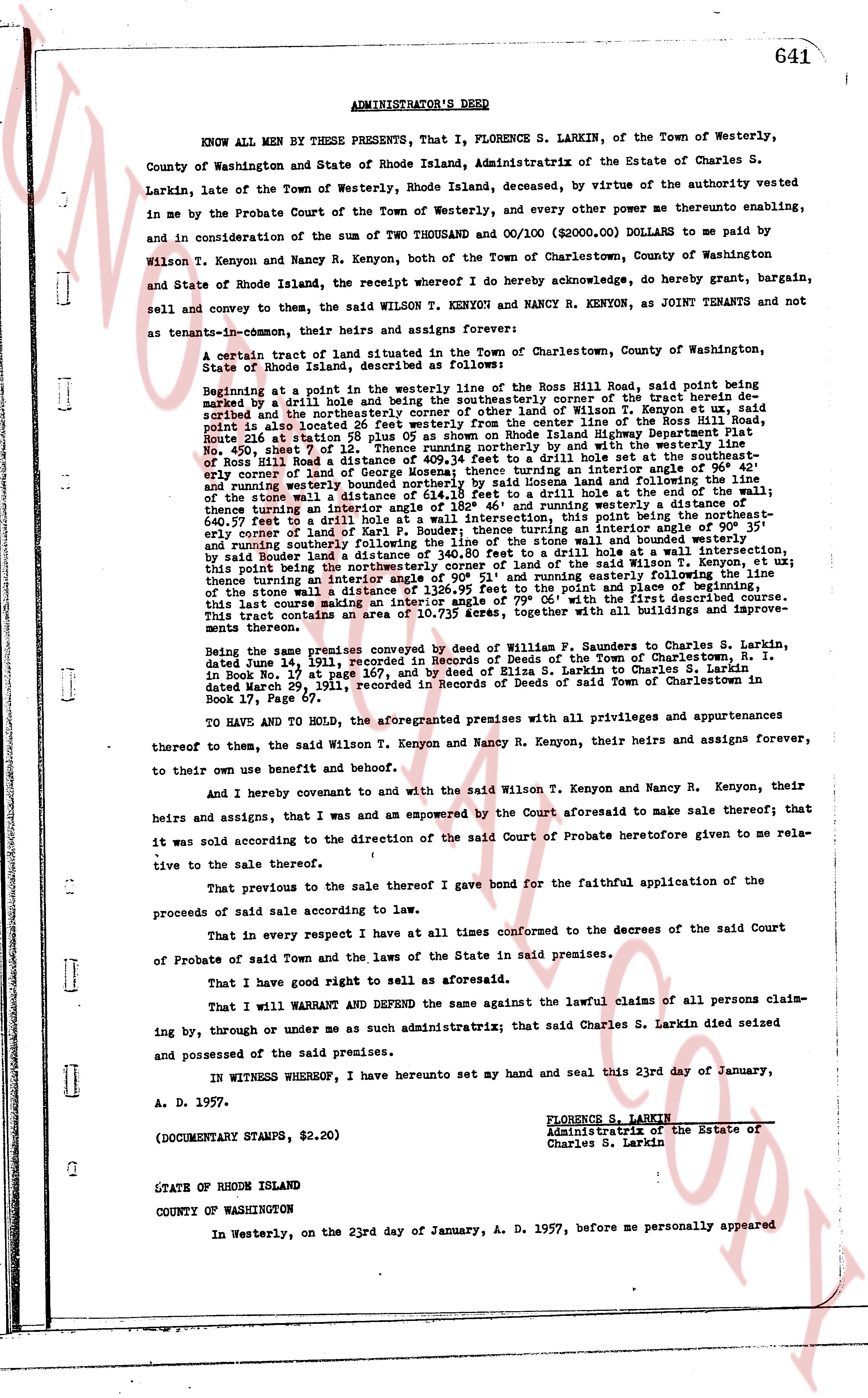
ADMINISTRATOR'S DEED
KNOW ALL MEN BY THESE PRESENTS, That I, FLORENCE S. LARKIN, of the Town of Westerly, County of Washington and State of Rhode Island, Administratrix of the Estate of Charles S. Larkin, late of the Town of Westerly, Rhode Island, deceased, by virtue of the authority vested in me in the Probate Court of the Town of Westerly, and every other power me thereto enabling, and in consideration of the sum of TWO THOUSAND and 00/100 DOLLARS ($2000.00) paid to me by Wilson T. Kenyon and Nancy R. Kenyon, both of the Town of Charlestown, County of Washington and State of Rhode Island, the receipt whereof I Do hereby acknowledge, do hereby grant, bargain, sell and convey to them, the said WILSON T. KENYON and NANCY R. KENYON, as JOINT TENANTS and not as tenants-in-common, their heirs and assigns forever:
A certain tract of land situated in the Town of Charlestown, County of Washington, State of Rhode Island, described as follows:
Beginning at a point in the westerly line of the stone wall of the Ross Hill Road, said point being marked by a drill hole 1/2" in diameter, said point being the northeasterly corner of the tract herein described and the northeasterly corner of other land of Wilson T. Kenyon et ux, said point also being 26.40 feet south of the intersection of the stone wall of the Ross Hill Road and the line of Plat 450, sheet 7 of 12, 0.05 as shown on Rhode Island Highway Department Plat No. 450, sheet 7 of 12. Thence running northeasterly 11.18 feet to the south set-back of Ross Hill Road; thence running northeasterly 11.18 feet to the northeasterly corner of Ross Hill Road's westerly boundary; thence running northeasterly 11.18 feet to the easterly corner of land of George Mozeas; thence running easterly 11.18 feet to the stone wall; thence running northeasterly 11.18 feet to the stone wall and following the line of the stone wall a distance of 614.18 feet to a drill hole at the end of the wall; thence running southeasterly 11.18 feet to the stone wall and following the line of the stone wall 640.57 feet to a drill hole wall a intersection, this point being the northeasterly corner of land of Wilson T. Kenyon et ux; thence running southeasterly 11.18 feet to the stone wall and following the line of the stone wall 640.57 feet and running southerly following the line of the stone wall and bounded westerly by other land of Wilson T. Kenyon et ux to a drill hole at the end of the wall, this point being the northeasterly corner of the land of the said Wilson T. Kenyon et ux; thence running southwesterly 11.18 feet to the stone wall and following the line of the stone wall a distance of 126.95 feet to the point and place of beginning. This tract contains an interior angle of 90 degrees at the point and place of beginning. This lot carries an interior angle of 90 degrees at the point and place of beginning, together with all buildings and improvements thereon.
Being the same premises conveyed by deed of William F. Saunders to Charles S. Larkin, dated June 14, 1911, recorded in Records of Deeds of the Town of Charlestown, R. I. in Book No. 17 at page 167, and by deed of Elisa S. Larkin to Charles S. Larkin dated May 29, 1911, recorded in Records of Deeds of said Town of Charlestown in Book 17, Page 17.
TO HAVE AND TO HOLD, the aforementioned premises with all privileges and appurtenances thereto of them, the said Wilson T. Kenyon and Nancy R. Kenyon, their heirs and assigns forever, to their own use benefit and behoof.
And I hereby covenant and to and with the said Wilson T. Kenyon and Nancy R. Kenyon, their heirs and assigns, that I was and am empowered by the Court aforesaid to make sale thereof; that it was sold according to the direction of the said Court of Probate heretofore given to me relative to the sale thereof.
That previous to the sale thereof I gave bond for the faithful application of the proceeds of said sale according to law.
That in every respect I have at all times conformed to the decrees of the said Court of Probate of said Town and the laws of the State in said premises.
That I have good right to sell as aforesaid.
That I will WARRANT and DEFEND the same against the lawful claims of all persons claiming by, through or under me as such administratrix; that said Charles S. Larkin died seized and possessed of the said premises.
IN WITNESS WHEREOF, I have hereunto set my hand and seal this 23rd day of January, A. D. 1957.
FLORENCE S. LARKIN
Administratrix of the Estate of
Charles S. Larkin
(DOCUMENTARY STAMPS, $2.20)
STATE OF RHODE ISLAND
COUNTY OF WASHINGTON
In Westerly, on the 23rd day of January, A. D. 1957, before me personally appeared
page 2 · read by Gemma vision
642
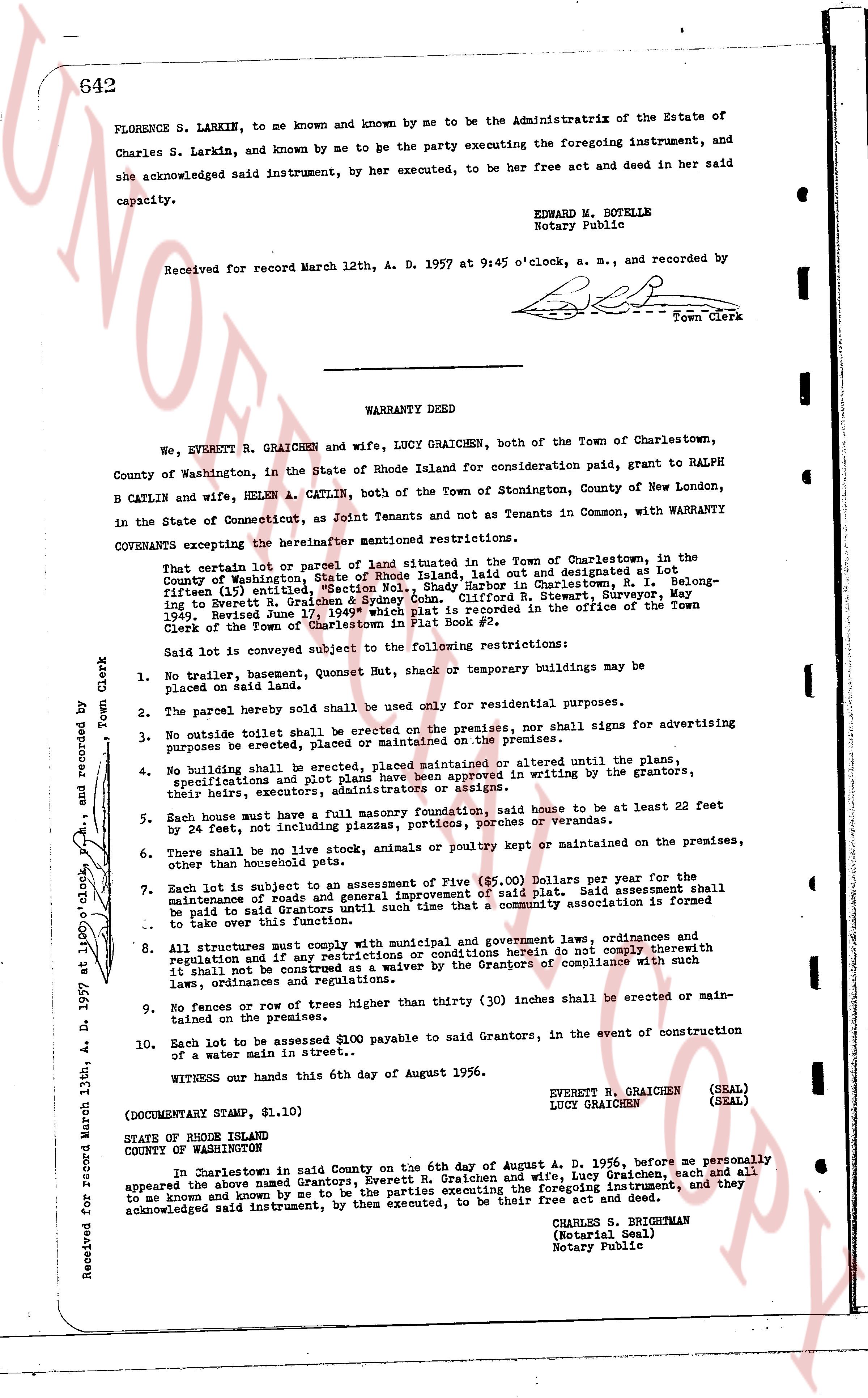
FLORENCE S. LARKIN, to me known and known by me to be the Administratrix of the Estate of
Charles S. Larkin, and known by me to be the party executing the foregoing instrument, and
she acknowledged said instrument, by her executed, to be her free act and deed in her said
capacity.
EDWARD W. BOLETELLE
Notary Public
Received for record March 12th, A. D. 1957 at 9:45 o'clock, a. m., and recorded by
[Signature]
Town Clerk
----
WARRANTY DEED
We, EVERETT R. GRAICHEN and wife, LUCY GRAICHEN, both of the Town of Charlestown,
County of Washington, in the State of Rhode Island for consideration paid, grant to RALPH
B CATLIN and wife, HELEN A. CATLIN, both of the Town of Stonington, County of New London,
in the State of Connecticut, as Joint Tenants and not as Tenants in Common, with WARRANTY
COVENANTS excepting the hereinafter mentioned restrictions:
That certain lot or parcel of land situated in the Town of Charlestown, in the
County of Washington, State of Rhode Island, as shown on a plat duly noted and designated at Lot
fifteen (15) entitled, "Section No. 1, Shady Harbor in Charlestown, R. I." belonging
to Everett R. Graichen & Lucy Graichen, surveyed by G. R. Sweet, Surveyor, a. m.
1949, filed June 17, 1949, which plat is recorded in the office of the Town
Clerk of the Town of Charlestown in Plat Book #2.
Said lot is conveyed subject to the following restrictions:
1. No trailer, basemen, quonset Hut, shac k or temporary buildings may be
placed on said land.
2. The parcel herein sold shall be used only for residential purposes.
3. No outside hoist shall be erected on the premises, nor shall signs for advertising
purposes be erected, placed or maintained on the premises.
4. No building shall be erected, placed maintained or altered until the plane,
specifications and plat of the same have been approved in writing by the grantors,
their heirs, successors, administrators or assigns.
5. Each house must have a fully masonry foundation, said house to be at least 22 feet
by 24 feet, not including plazas, porches, porticoes or verandas.
6. There shall be no live stock, animals or poultry kept or maintained on the premises,
other than household pets.
7. Each lot is subject to an Assessment of Five ($5.00) Dollars per year for the
maintenance of roads and general improvement of said plat. Said assessment shall
be paid to the homeowners association which is to be organized and formed
to take over this function.
8. All structures must comply with municipal and government laws, ordinances and
regulation and if any restrictions or conditions herein do not comply thoroughly
with such laws, ordinances and regulations it shall be deemed as a waiver by the Grantors of compliance with such
laws, ordinances and regulations.
9. No fences or row of trees higher than thirty (30) inches shall be erected or maintained
along the premises.
10. Each lot to be assessed $100 payable to said Grantors, in the event of construction
of a water main in street..
WITNESS our hands this 6th day of August 1956.
EVERETT R. GRAICHEN (SEAL)
LUCY GRAICHEN (SEAL)
(DOCUMENTARY STAMP, $1.10)
STATE OF RHODE ISLAND
COUNTY OF WASHINGTON
In Charlestown in said County on the 6th day of August A. D. 1956, before me personally
appeared the above named Grantors, Everett R. Graichen and wife, Lucy Graichen, each and all
to me known and known by me to be the parties executing the foregoing instrument, and they
acknowledged said instrument, by them executed, to be their free act and deed.
CHARLES S. BERGSTRAN
(Notarial Seal)
Notary Public
Received for record March 13th, A. D. 1957 at 10:00 o'clock, a. m., and recorded by [Signature]
Town Clerk
The page as recorded