The instrument's own words
page 1 · read by Gemma vision
618
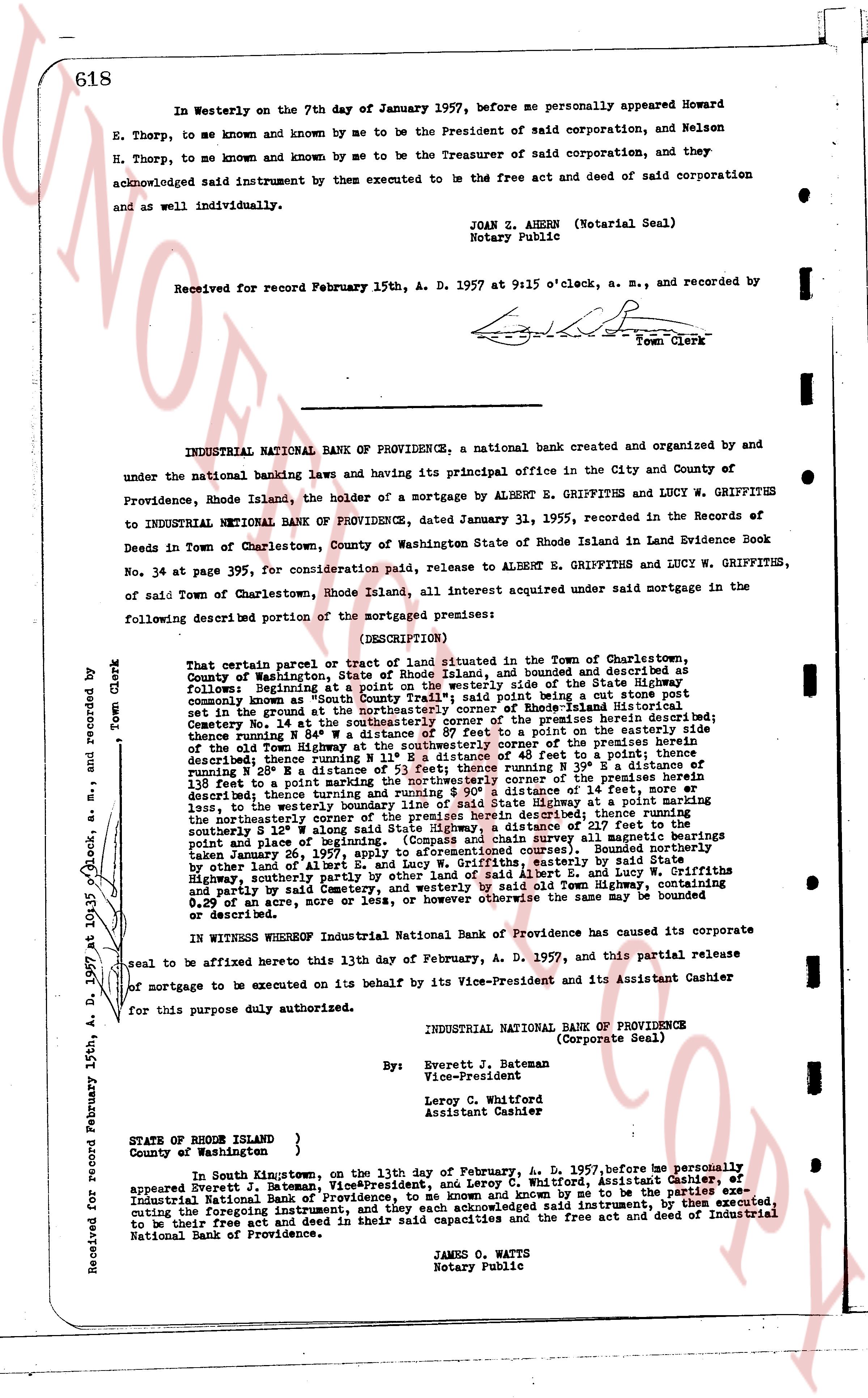
In Westerly on the 7th day of January 1957, before me personally appeared Howard E. Thorp, to me known and known by me to be the President of said corporation, and Nelson H. Thorp, to me known and known by me to be the Treasurer of said corporation, and they acknowledged said instrument by them executed to be the free act and deed of said corporation and as well as individually.
JOAN Z. AHERN (Notarial Seal)
Notary Public
Received for record February 15th, A. D. 1957 at 9:15 o'clock, a. m., and recorded by
[Signature]
Town Clerk
----
INDUSTRIAL NATIONAL BANK OF PROVIDENCE, a national bank created and organized by and under the national banking laws and having its principal office in the City and County of Providence, Rhode Island, the holder of a mortgage by ALBERT E. GRIFFITHS and LUCY W. GRIFFITHS to INDUSTRIAL NATIONAL BANK OF PROVIDENCE, dated January 31, 1955, recorded in the Records of Deeds in Town of Charlestown, County of Washington State of Rhode Island in Land Evidence Book No. 34 at page 395, for consideration paid, release to ALBERT E. GRIFFITHS and LUCY W. GRIFFITHS, of said Town of Charlestown, Rhode Island, all interest acquired under said mortgage in the following described portion of the mortgaged premises:
(DESCRIPTION)
That certain parcel or tract of land situated in the Town of Charlestown, County of Washington, State of Rhode Island, and bounded and described as follows: Beginning at a point on the westerly side of the State Highway commonly known as "South County Trail"; said point being set in a cut stone post set in a wall; thence running southerly 110 feet to the center of Hope Hill Cemetery No. 14 at the southeasterly corner of the premises herein described; thence running S 15° E 135 feet to a point on a road in the southeast corner of the old State Highway at the southeasterly corner of the premises herein described; thence running N 80° W 110 feet, then running N 15° W 135 feet, then running N 80° W 93 feet, thence running N 15° E 34 feet, then running N 80° W 135 feet to a point marking the northwestern corner of the premises herein described, then running N 15° E 100 feet, then running N 80° W 14 feet, more or less, to the westerly boundary line of said State Highway at a point marking the northwestern corner of the premises herein described; thence running northerly to the center of the road in the northwest corner of the premises herein described; southerly S 12° W along said State Highway, a distance of 217 feet to the point of beginning. The above described boundaries are based upon survey made by hearings taken January 26, 1957, apply to aforementioned courses). Bounded northerly by other lands, easterly by the road in the northwest corner of the premises herein described, southerly by other land of Albert E. and Lucy W. Griffiths and partly by said Cemetery, and westerly by said State Highway. Containing 0.29 acres of land, more or less, or however otherwise the same may be bounded or described.
IN WITNESS WHEREOF Industrial National Bank of Providence has caused its corporate seal to be affixed hereto this 13th day of February, A. D. 1957, and this partial release of mortgage to be executed on its behalf by its Vice-President and its Assistant Cashier for this purpose duly authorized.
INDUSTRIAL NATIONAL BANK OF PROVIDENCE
(Corporate Seal)
By: Everett J. Bateman
Vice-President
Leroy C. Whitford
Assistant Cashier
STATE of RHODE ISLAND }
County of Washington }
In South Kingstown, on the 13th day of February, A. D. 1957, before me personally appeared Everett J. Bateman, Vice-President, and Leroy C. Whitford, Assistant Cashier, of Industrial National Bank of Providence, to be known and known by me to be the parties executing the foregoing instrument, and they each acknowledged said instrument, by them executed, to be their free act and deed in their said capacities and the free act and deed of Industrial National Bank of Providence.
JAMES O. WATTS
Notary Public
Received for record February 15th, A. D. 1957 at 9:15 o'clock, a. m., and recorded by [Signature] Town Clerk
The page as recorded