The instrument's own words
page 1 · read by Gemma vision
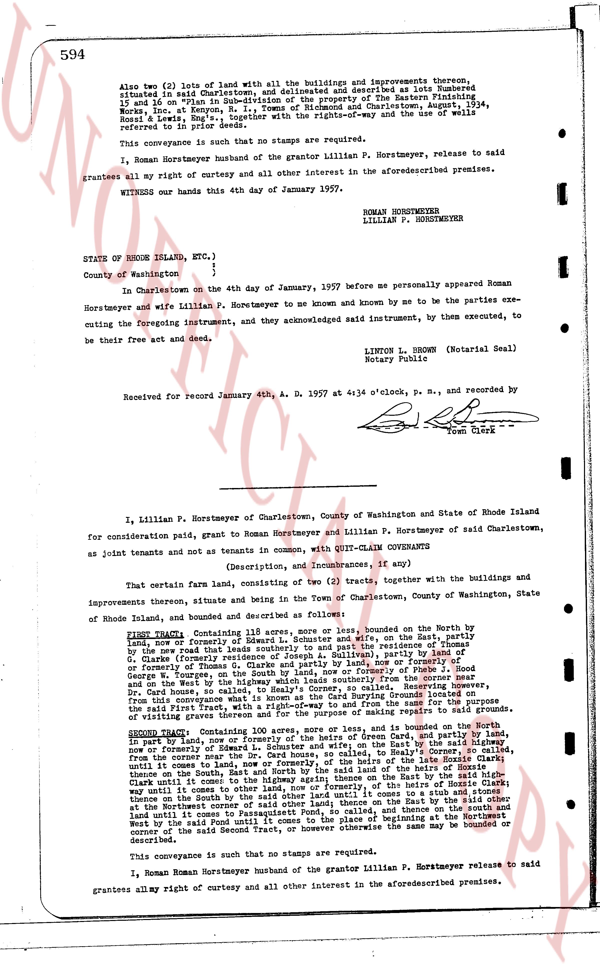
594
Also two (2) lots of land with all the buildings and improvements thereon, situated in said Charlestown, and delineated and described as lots Numbered 15 and 16 on "Plan in Sub-division of the property of the Eastern Publishing Works, Inc. at Kenyon, R. I., Towns of Richmond and Charlestown August 1934, Ross & Lewis, Eng's", together with the rights-of-way and the use of wells referred to in prior deeds.
This conveyance is such that no stamps are required.
I, Roman Horstmeyer husband of the grantor Lillian P. Horstmeyer, release to said grantees all my right of curtesy and all other interest in the aforementioned premises.
WITNESS our hands this 4th day of January 1957.
ROMAN HORSTMEYER
LILLIAN P. HORSTMEYER
STATE OF RHODE ISLAND, ETC.)
)
County of Washington )
In Charlestown on the 4th day of January, 1957 before me personally appeared Roman Horstmeyer and wife Lillian P. Horstmeyer to me known and known by me to be the parties executing the foregoing instrument, and acknowledged said instrument, by them executed, to be their free act and deed.
LINTON L. BROWN (Notarial Seal)
Notary Public
Received for record January 4th, A. D. 1957 at 4:34 o'clock, p. m., and recorded by
[signature]
Town Clerk
----
I, Lillian P. Horstmeyer of Charlestown, County of Washington and State of Rhode Island for consideration paid, grant to Roman Horstmeyer and Lillian P. Horstmeyer of said Charlestown, as joint tenants and not as tenants in common, with QUIT-CLAIM COVENANTS
(Description, and Incumbrances, if any)
That certain farm land, consisting of two (2) tracts, together with the buildings and improvements thereon, situate and being in the Town of Charlestown, County of Washington, State of Rhode Island, land conveyed and described as follows:
FIRST TRACT: Containing 61 acres, more or less, bounded on the North by the land, now or formerly of Edward L. Schuster and wife, on the East, partly by the new road that leads southerly to and past the entrance of the entrance of G. Clarke formerly road and now or formerly of [?], (dully), partly by land of G. Clarke formerly road and now or formerly of [?], or formerly of Thomas G. Clarke partly and land by north or formerly of [?], and on the South by land now or formerly of [?], or formerly of [?], and on the West by the highway which leads southerly from the corner near the Dr. Card house, to the corner of the land of Colley, beginning at the corner near the Dr. Card house, and running thence southerly along said highway to the corner of the said First Tract, thence East along the boundary of the land of Colley, running thence for the sum of the same [?] of visiting graves thereon and for the purpose of making repairs to said graves.
SECOND TRACT: Containing 100 acres, more or less, and is bounded on the North in part by land, now or formerly of Edward L. Schuster and wife, on the East by the said highway now or formerly of Schuster and wife, running thence East, and in part by the land of the late Horrie Clark, from the corner near the Dr. Card house, to Colley's Highway Corner, and running thence on the South East, and North by the said land of the late Horrie Clark until it comes to the land of Colley, running thence on the East by the said highway until it comes to other land, now or formerly, of the heirs of Horrie Clark thence on the South by the land of the heirs of Horrie Clark to a point on the highway at the Northwest corner of said other land; thence on the East by the said other land until it comes to the said highway, and thence on the North, and then East and then West by the said road until it comes to the place of beginning at the Northwest corner of the said Second Tract, or however otherwise the same may be bounded or described.
This conveyance is such that no stamps are required.
I, Roman Roman Horstmeyer husband of the grantor Lillian P. Horstmeyer release to said grantees all my right of curtesy and all other interest in the aforementioned premises.
page 2 · read by Gemma vision
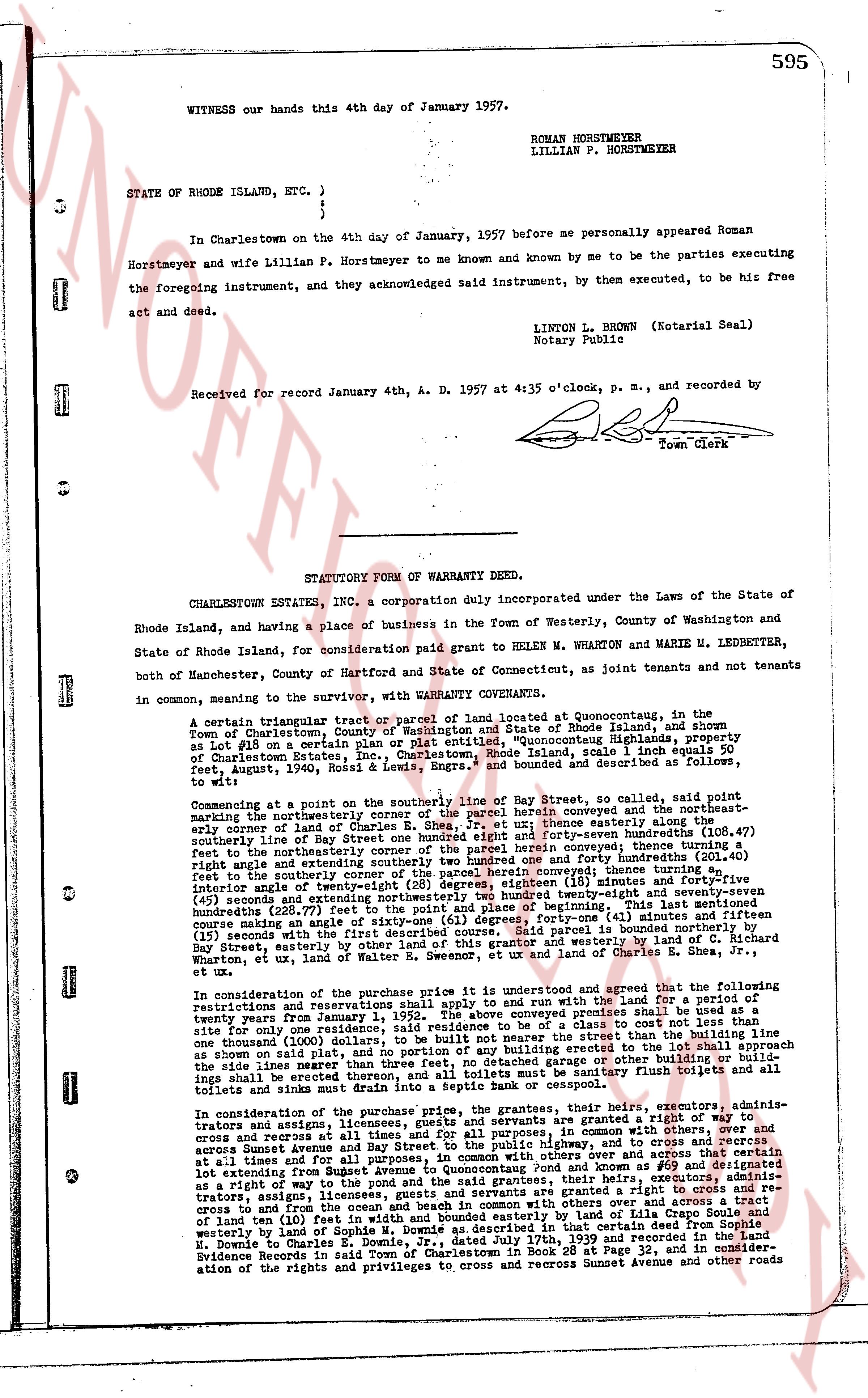
WITNESS our hands this 4th day of January 1957.
ROMAN HORSTMEYER
LILLIAN P. HORSTMEYER
STATE OF RHODE ISLAND, ETC.)
)
)
In Charlestown on the 4th day of January, 1957 before me personally appeared Roman Horstmeyer and wife Lillian P. Horstmeyer to me known and known by me to be the parties executing Horstmeyer and wife Lillian P. Horstmeyer to me known and known by me to be the parties executing the foregoing instrument, and they acknowledged said instrument, by them executed, to be his free act and deed.
LINTON L. BROWN (Notarial Seal)
Notary Public
Received for record January 4th, A. D. 1957 at 4:35 o'clock, p. m., and recorded by
[Signature]
Town Clerk
----
STATUTORY FORM OF WARRANTY DEED.
CHARLESTOWN ESTATES, INC, a corporation duly incorporated under the Laws of the State of Rhode Island, and having a place of business in the Town of Westerly, County of Washington and State of Rhode Island, for consideration paid grant to HELEN M. WHARTON and MARIE M. LEDBETTER, both of Manchester, State of Hartford and State of Connecticut, as joint tenants and not tenants in common, meaning the survivor, with WARRANTY COVENANTS.
A certain triangular tract or parcel of land located at Quonochontaug, in the Town of Charlestown, County of Washington, State of Rhode Island, and shown as Lot #15 on a certain plat or entitled "Quonochontaug Highlands, property of Charlestown Estates, Inc." dated December 1, 1956, scale 1 inch equals 50 feet, August 1956, Book 5 of Lots, Engrs. and bounded and described as follows, to wit:
Commencing at a point on the southerly line of Bay Street, so called, said point being the northeasterly corner of the southerly line of the parcel herein conveyed and the northeasterly corner of the land of Sophie M. Downie, thence running easterly, along the southerly line of Bay Street one hundred eight feet and forty-seven hundredths (108.47) feet to the northeasterly corner of the parcel herein conveyed in the direction north eighty-right angle and easterly forty-three feet and forty-seven hundredths (43.47) feet to the southerly corner of the parcel herein conveyed; thence turning a northwesterly direction one hundred twenty-seven feet and thirteen hundredths (127.13) feet, bearing forty-five (45) seconds and extending northwesterly three hundred twenty-eight and seventy-seven hundredths (328.77) feet to the northwest corner of the parcel herein conveyed; thence running southerly in a course making an angle of sixty-one (61) degrees, forty-one (41) minutes and fifteen (15) seconds with the southerly line of Bay Street, three hundred twenty-eight feet to Bay street easterly by other land of this grantor and westerly by land of C. N. Richard Wharton, ex utaq, land of Walter E. Swenson, ut ex land of Charles and Lucile [?]
In consideration of the purchase price it is understood and agreed and covenanted that the following restrictions and reservations shall apply to and and with the land for a period of twenty-five years from the date hereof: That the lot herein conveyed premises shall be used as a single site, for one residence only, said residence to be of a class consistent with the other residences in the area, and said residence shall not be constructed closer than the building line as shown on said plat, and no portion of any building or extension to the lot shall approximate the side lines nearer than twenty feet. That no stables, pig sties or other animal houses shall be erected thereon, and all toilets shall be sanitary flush toilets and all toilets and sinks must be drilled into a septic tank.
In consideration of the purchase price, the grantees, their heirs, executors, admins-trators and assigns, licensees, guests and servants are granted a right of way to and from the land herein conveyed in common with others over and across by the use of and cross and across at times Avenue and Day Street to the public highway, and to cross and recross at all times and for all purposes, in common with others over and across a tract of land extending from Avenue and Day Street to the center of Quonochontaug Pond and known as #69 and designated as a right of way to the pond and the said grantees, their heirs, executors, administrators and assigns, licensees, guests and servants are further granted a right to cross and recross to and from the ocean and beach in common with others over and across a tract of land (approx 10 feet) from the southerly line of Bay Street to the ocean, running easterly and westerly by land of Sophie M. Downie as described in that certain deed from Sophie M. Downie to Charles and Lucile [?] recorded January 23, 1953 in the Land Evidence Records in said Town of Charlestown in Book 28 at Page 32, and in consideration of the rights and privileges to cross and recross Sunset Avenue and other roads
The page as recorded