The instrument's own words
page 1 · read by Gemma vision
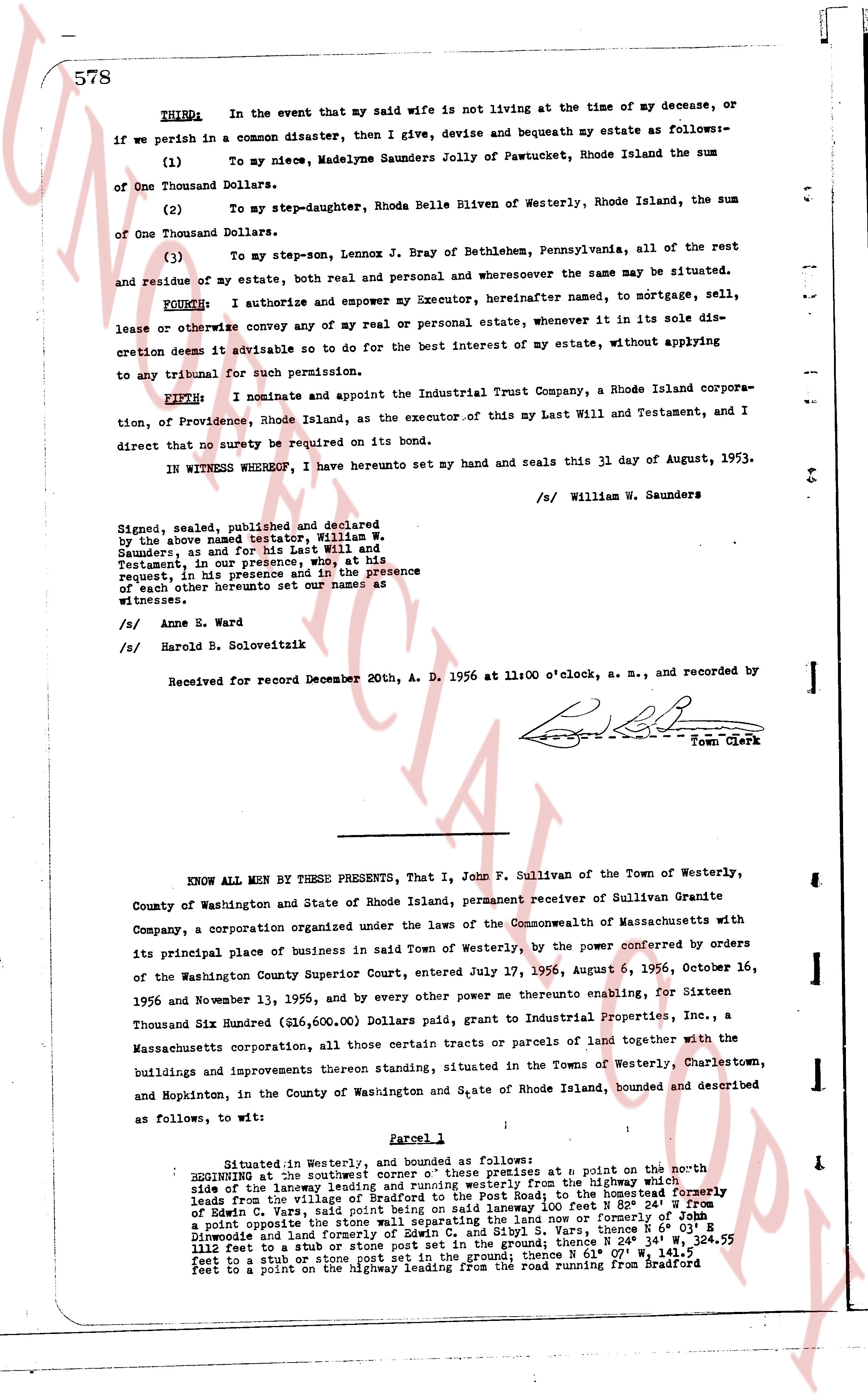
578
THIRD: In the event that my said wife is not living at the time of my decease, or if we perish in a common disaster, then I give, devise and bequeath my estate as follows:-
(1) To my niece, Madelyne Saunders Jolly of Pawtucket, Rhode Island the sum of One Thousand Dollars.
(2) To my step-daughter, Rhoda Belle Bliwen of Westerly, Rhode Island, the sum of One Thousand Dollars.
(3) To my step-son, Lennox J. Bray of Bethlehem, Pennsylvania, all of the rest and residue of my estate, both real and personal and wheresoever the same may situated.
FOURTH: I authorize and empower my Executor, hereinafter named, to mortgage, sell, lease or otherwise convey any of my real or personal estate, whenever in its sole discretion it deems advisable so to do for the best interest of my estate, without applying to any tribunal for such permission.
FIFTH: I nominate and appoint the Industrial Trust Company, a Rhode Island corporation, of Providence, Rhode Island, as the executor of this my Last Will and Testament, and I direct that no surety be required on its bond.
IN WITNESS WHEREOF, I have hereunto set my hand and seal this 31 day of August, 1953.
/s William W. Saunders
Signed, sealed, published and declared by the above named testator, William W. Saunders, as and for his Last Will and Testament, in our presence, who, at his request, in his last presence and in the presence of each other hereunto set our names as witnesses.
/s Anne E. Ward
/s Harold B. Soloveitzik
Received for record December 20th, A. D. 1956 at 11:00 o'clock, a. m., and recorded by [?]
Town Clerk
----
KNOW ALL MEN by THESE PRESENTS, That I, John F. Sullivan of the Town of Westerly, County of Washington and State of Rhode Island, permanent receiver of Sullivan Granite Company, a corporation organized under the laws of the Commonwealth of Massachusetts with its principal place of business in said Town of Westerly, by the power conferred by orders of the Washington County Superior Court, entered July 17, 1956, August 6, 1956, October 16, 1956 and November 11, 1955, and by every other power thereto enabling, for Sixteen Thousand Six Hundred ($16,600.00) Dollars paid, grant to Industrial Properties Inc., a Massachusetts corporation, all those certain tracts or parcels of land together with the buildings and improvements thereon standing, situated in the Towns of Westerly, Charlestown, and Hopkinton, in the County of Washington and State of Rhode Island, bounded and described as follows, to wit:
Parcel 1
Situated in Westerly, and bounded as follows:
BEGINNING at the southwest corner of these premises at a point on the north side of the laneway leading and running westerly along the highway which leads from the village of Westerly to the hamlet of North Road; to the homestead of Edwin C. Vars, said point being on said laneway 100 feet N 82° 54' W from a point opposite the Northwest corner of said laneway and now or formerly the land now or formerly the opposite side of laneway and former land of Edwin C. Vars, and Sybil S. Vars, thence R 6° 03' S Northwest and land formerly of Edwin C. Vars, and Sybil S. Vars, thence N 34° 55' W 1112 feet to a stub stone or stone post set in the ground; thence W 34° 55' N 324.55 feet to a stub stone or stone post set in the ground, thence N 61° 07' W 141.5 feet to a point on the highway running along the road running from Bradford
page 2 · read by Gemma vision
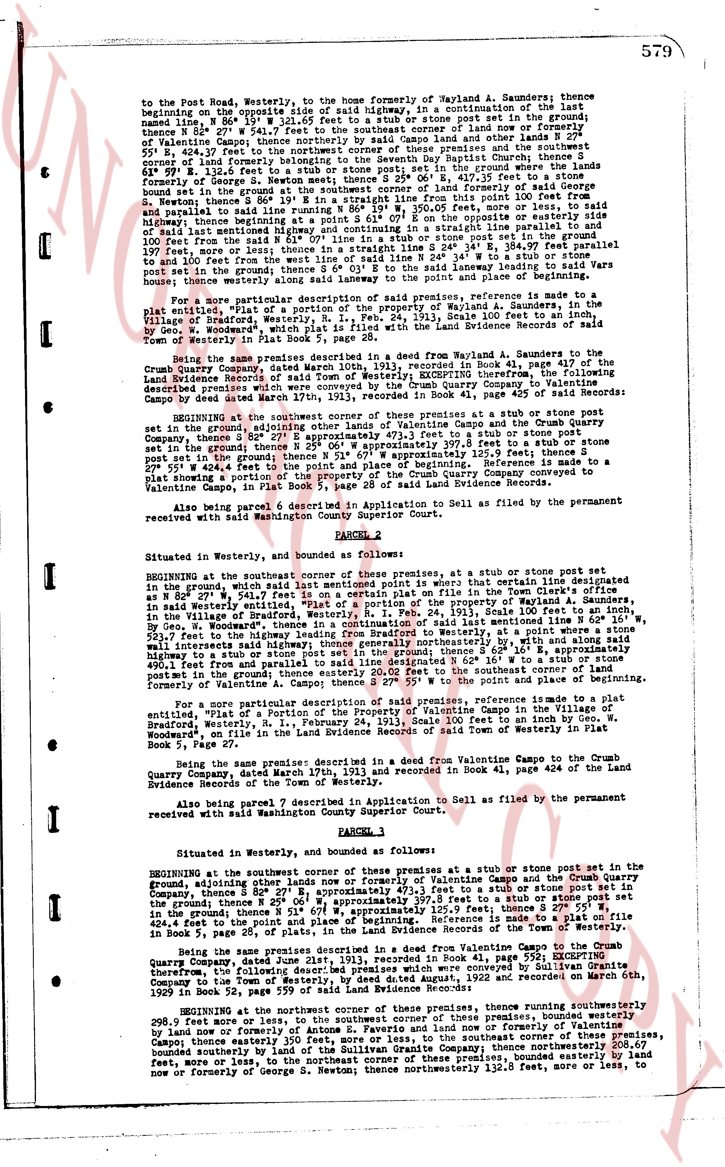
579
to the Post Road, Westerly, to the home of formerly Wayland A. Saunders; thence
naming bound, N 86° 19' W 321.65 feet to a stub or stone post set in the ground;
thence S 87° 20' W 159.40 feet to a stub or stone post set in the ground now or formerly
of Valentine Campo; thence northerly by said Campo land and other lands F remotely
55° 40' E 264.71 feet to the point where said premises meet the northwest corner
of cropland formerly belonging to the Seventh Day Baptist Church; thence S
61° 97° E 132.63 feet to a stub or stone post set in the ground; thence S 25° 06' E, 417.35 feet to a stone
bound set in the ground at the southwest corner of said Church land; thence S 89° 20' W 100 feet from
bound set in the ground at the southwest corner of said Church land to this point 100 feet from
S. Hewing thence S 89° 20' W 100 feet to a stub or stone post set in the ground; thence
and parallel to said road running N 89° 20' W, 350.05 feet, more or less, to said road; or
more exactly, from the point where the northwest corner of said premises meets said road
of said land settlement highway and continuing in a straight line parallel to said highway
and 100 feet from the face of said highway, S 89° 20' W 350.05 feet to a stub or stone post set
in the ground; more or less; thence in a straight line S 24° 34' E, 384.97 feet parallel
to and 100 feet from the face of said highway; thence S 24° 34' W to a stub or stone post
set in the ground; thence S 61° 03' E to the said highway leading to said Warsaw lands
hence; moreover land saying along said highway and in place of the aforementioned
hence; moreover land saying along said highway and in place of the aforementioned
hence; moreover land saying along said highway and in place of the aforementioned
hence; moreover land saying along said highway and in place of the aforementioned
hence; moreover land saying along said highway and in place of the aforementioned
hence; moreover land saying along said highway and in place of the aforementioned
hence; moreover land saying along said highway and in place of the aforementioned
hence; moreover land saying along said highway and in place of the aforementioned
hence; moreover land saying along said highway and in place of the aforementioned
hence; moreover land saying along said highway and in place of the aforementioned
hence; moreover land saying along said highway and in place of the aforementioned
hence; moreover land saying along said highway and in place of the aforementioned
hence; moreover land saying along said highway and in place of the aforementioned
hence; moreover land saying along said highway and in place of the aforementioned
hence; moreover land saying along said highway and in place of the aforementioned
hence; moreover land saying along said highway and in place of the aforementioned
hence; moreover land saying along said highway and in place of the aforementioned
hence; moreover land saying along said highway and in place of the aforementioned
hence; moreover land saying along said highway and in place of the aforementioned
hence; moreover land saying along said highway and in place of the aforementioned
hence; moreover land saying along said highway and in place of the aforementioned
hence; moreover land saying along said highway and in place of the aforementioned
hence; moreover land saying along said highway and in place of the aforementioned
hence; moreover land saying along said highway and in place of the aforementioned
hence; moreover land saying along said highway and in place of the aforementioned
hence; moreover land saying along said highway and in place of the aforementioned
hence; moreover land saying along said highway and in place of the aforementioned
hence; moreover land saying along said highway and in place of the aforementioned
hence; moreover land saying along said highway and in place of the aforementioned
hence; moreover land saying along said highway and in place of the aforementioned
hence; moreover land saying along said highway and in place of the aforementioned
hence; moreover land saying along said highway and in place of the aforementioned
hence; moreover land saying along said highway and in place of the aforementioned
hence; moreover land saying along said highway and in place of the aforementioned
hence; moreover land saying along said highway and in place of the aforementioned
hence; moreover land saying along said highway and in place of the aforementioned
hence; moreover land saying along said highway and in place of the aforementioned
hence; moreover land saying along said highway and in place of the aforementioned
hence; moreover land saying along said highway and in place of the aforementioned
hence; moreover land saying along said highway and in place of the aforementioned
hence; moreover land saying along said highway and in place of the aforementioned
hence; moreover land saying along said highway and in place of the aforementioned
hence; moreover land saying along said highway and in place of the aforementioned
hence; moreover land saying along said highway and in place of the aforementioned
hence; moreover land saying along said highway and in place of the aforementioned
hence; moreover land saying along said highway and in place of the aforementioned
hence; moreover land saying along said highway and in place of the aforementioned
hence; moreover land saying along said highway and in place of the aforementioned
hence; moreover land saying along said highway and in place of the aforementioned
hence; moreover land saying along said highway and in place of the aforementioned
hence; moreover land saying along said highway and in place of the aforementioned
hence; moreover land saying along said highway and in place of the aforementioned
hence; moreover land saying along said highway and in place of the aforementioned
hence; moreover land saying along said highway and in place of the aforementioned
hence; moreover land saying along said highway and in place of the aforementioned
hence; moreover land saying along said highway and in place of the aforementioned
hence; moreover land saying along said highway and in place of the aforementioned
hence; moreover land saying along said highway and in place of the aforementioned
hence; moreover land saying along said highway and in place of the aforementioned
hence; moreover land saying along said highway and in place of the aforementioned
hence; moreover land saying along said highway and in place of the aforementioned
hence; moreover land saying along said highway and in place of the aforementioned
hence; moreover land saying along said highway and in place of the aforementioned
hence; moreover land saying along said highway and in place of the aforementioned
hence; moreover land saying along said highway and in place of the aforementioned
hence; moreover land saying along said highway and in place of the aforementioned
hence; moreover land saying along said highway and in place of the aforementioned
hence; moreover land saying along said highway and in place of the aforementioned
hence; moreover land saying along said highway and in place of the aforementioned
hence; moreover land saying along said highway and in place of the aforementioned
hence; moreover land saying along said highway and in place of the aforementioned
hence; moreover land saying along said highway and in place of the aforementioned
hence; moreover land saying along said highway and in place of the aforementioned
hence; moreover land saying along said highway and in place of the aforementioned
hence; moreover land saying along said highway and in place of the aforementioned
hence; moreover land saying along said highway and in place of the aforementioned
hence; moreover land saying along said highway and in place of the aforementioned
hence; moreover land saying along said highway and in place of the aforementioned
hence; moreover land saying along said highway and in place of the aforementioned
hence; moreover land saying along said highway and in place of the aforementioned
hence; moreover land saying along said highway and in place of the aforementioned
hence; moreover land saying along said highway and in place of the aforementioned
hence; moreover land saying along said highway and in place of the aforementioned
hence; moreover land saying along said highway and in place of the aforementioned
hence; moreover land saying along said highway and in place of the aforementioned
hence; moreover land saying along said highway and in place of the aforementioned
hence; moreover land saying along said highway and in place of the aforementioned
hence; moreover land saying along said highway and in place of the aforementioned
hence; moreover land saying along said highway and in place of the aforementioned
hence; moreover land saying along said highway and in place of the aforementioned
hence; moreover land saying along said highway and in place of the aforementioned
hence; moreover land saying along said highway and in place of the aforementioned
hence; moreover land saying along said highway and in place of the aforementioned
hence; moreover land saying along said highway and in place of the aforementioned
hence; moreover land saying along said highway and in place of the aforementioned
hence; moreover land saying along said highway and in place of the aforementioned
hence; moreover land saying along said highway and in place of the aforementioned
hence; moreover land saying along said highway and in place of the aforementioned
hence; moreover land saying along said highway and in place of the aforementioned
hence; moreover land saying along said highway and in place of the aforementioned
hence; moreover land saying along said highway and in place of the aforementioned
hence; moreover land saying along said highway and in place of the aforementioned
hence; moreover land saying along said highway and in place of the aforementioned
hence; moreover land saying along said highway and in place of the aforementioned
hence; moreover land saying along said highway and in place of the aforementioned
hence; moreover land saying along said highway and in place of the aforementioned
hence; moreover land saying along said highway and in place of the aforementioned
hence; moreover land saying along said highway and in place of the aforementioned
hence; moreover land saying along said highway and in place of the aforementioned
hence; moreover land saying along said highway and in place of the aforementioned
hence; moreover land saying along said highway and in place of the aforementioned
hence; moreover land saying along said highway and in place of the aforementioned
hence; moreover land saying along said highway and in place of the aforementioned
hence; moreover land saying along said highway and in place of the aforementioned
hence; moreover land saying along said highway and in place of the aforementioned
hence; moreover land saying along said highway and in place of the aforementioned
hence; moreover land saying along said highway and in place of the aforementioned
hence; moreover land saying along said highway and in place of the aforementioned
hence; moreover land saying along said highway and in place of the aforementioned
hence; moreover land saying along said highway and in place of the aforementioned
hence; moreover land saying along said highway and in place of the aforementioned
hence; moreover land saying along said highway and in place of the aforementioned
hence; moreover land saying along said highway and in place of the aforementioned
hence; moreover land saying along said highway and in place of the aforementioned
hence; moreover land saying along said highway and in place of the aforementioned
hence; moreover land saying along said highway and in place of the aforementioned
hence; moreover land saying along said highway and in place of the aforementioned
hence; moreover land saying along said highway and in place of the aforementioned
hence; moreover land saying along said highway and in place of the aforementioned
hence; moreover land saying along said highway and in place of the aforementioned
hence; moreover land saying along said highway and in place of the aforementioned
hence; moreover land saying along said highway and in place of the aforementioned
hence; moreover land saying along said highway and in place of the aforementioned
hence; moreover land saying along said highway and in place of the aforementioned
hence; moreover land saying along said highway and in place of the aforementioned
hence; moreover land saying along said highway and in place of the aforementioned
hence; moreover land saying along said highway and in place of the aforementioned
hence; moreover land saying along said highway and in place of the aforementioned
hence; moreover land saying along said highway and in place of the aforementioned
hence; moreover land saying along said highway and in place of the aforementioned
hence; moreover land saying along said highway and in place of the aforementioned
hence; moreover land saying along said highway and in place of the aforementioned
hence; moreover land saying along said highway and in place of the aforementioned
hence; moreover land saying along said highway and in place of the aforementioned
hence; moreover land saying along said highway and in place of the aforementioned
hence; moreover land saying along said highway and in place of the aforementioned
hence; moreover land saying along said highway and in place of the aforementioned
hence; moreover land saying along said highway and in place of the aforementioned
hence; moreover land saying along said highway and in place of the aforementioned
hence; moreover land saying along said highway and in place of the aforementioned
hence; moreover land saying along said highway and in place of the aforementioned
hence; moreover land saying along said highway and in place of the aforementioned
hence; moreover land saying along said highway and in place of the aforementioned
hence; moreover land saying along said highway and in place of the aforementioned
hence; moreover land saying along said highway and in place of the aforementioned
hence; moreover land saying along said highway and in place of the aforementioned
hence; moreover land saying along said highway and in place of the aforementioned
hence; moreover land saying along said highway and in place of the aforementioned
hence; moreover land saying along said highway and in place of the aforementioned
hence; moreover land saying along said highway and in place of the aforementioned
hence; moreover land saying along said highway and in place of the aforementioned
hence; moreover land saying along said highway and in place of the aforementioned
hence; moreover land saying along said highway and in place of the aforementioned
hence; moreover land saying along said highway and in place of the aforementioned
hence; moreover land saying along said highway and in place of the aforementioned
hence; moreover land saying along said highway and in place of the aforementioned
hence; moreover land saying along said highway and in place of the aforementioned
hence; moreover land saying along
page 3 · read by Gemma vision
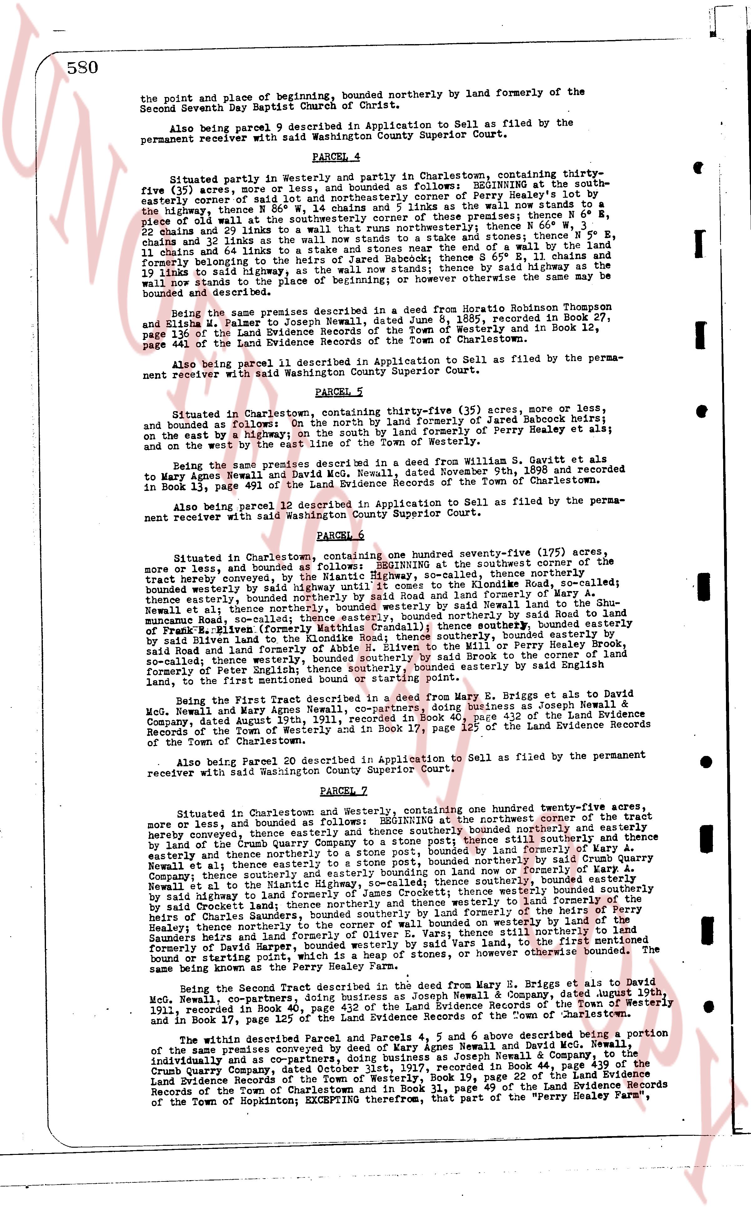
580
the point and place of beginning, boundedly northerly by land formerly of the
Second Seventh Day Baptist Church of Christ.
Also being parcel 9 described in Application to Sell as filed by the
permanent receiver with said Washington County Superior Court.
PARCEL 4
Situated partly in Westerly and partly in Charlestown, containing thirty-
five (35) acres, more or less, and bounded as follows: BEGINNING at the south-
easterly corner of said lot and northerly by land of Perry Healey heir's to
the highway, thence N 56 W 14.45 chains and 1 links as the wall now stands to a
piece of old wall at the southeasterly corner of these premises; thence N 0 E,
22 chains and 20 links to the stone wall; thence S 85 E, 11 chains and 40
chains and 12 links as the wall now stands to a stone, and thence 5° S,
11 chains and 40 links to the end of a wall and by the highway to the point
and formerly belonging to the heirs of Jared Babcock; thence 65° W, 11 chains and
19 links to said highway, as the wall now stands to the stone by said highway;
thence S 0 W, 11 chains and 19 links to the point or otherwise however the same to be
bounded and described.
Being the same premises described in a deed from Heratio Robinson Thompson
and Elizabeth, his wife to Joseph Newell, dated June 8, 1885, recorded in Book 27,
page 136 of the Land Evidence Records of the Town of Westerly and in Book 12,
page 441 of the Land Evidence Records of the Town of Charlestown.
Also being parcel 11 described in Application to Sell as filed by the perma-
nent receiver with said Washington County Superior Court.
PARCEL 5
Situated in Charlestown, containing thirty-five (35) acres more or less,
and bounded as follows: On the north by land formerly of Jared Babcock heirs;
on the east by a highway; on the south by land formerly of Perry Healey heirs; at
and on the west by the east line of the town of Westerly.
Being the same premises described in a deed from Steven S. Gavitt et als to
Mary Agnes Newell and David McNeill, dated November 9th, 1898 and recorded
in Book 13, page 491 of the Land Evidence Records of the Town of Charlestown.
Also being parcel 12 described in Application to Sell as filed by the perma-
nent receiver with said Washington County Superior Court.
PARCEL 6
Situated in Charlestown, containing one hundred seventy-five (175) acres,
more or less, and bounded as follows: BEGINNING at the southeast corner of the
tract hereby conveyed, by the highway to the southeast, thence northerly
bounded westerly by said highway until it comes to the Lindenode Rd, so-called;
thence easterly, bounded northerly by land formerly of Perry Healey heirs,
thence easterly, bounded northerly with said Lindenode Rd, so-called; thence easterly
to the stone wall, bounded northerly by said wall to land formerly of the Hugh
Munro family, so-called; thence easterly, bounded northerly by said wall to the land
of Hugh Munro, so-called; thence easterly, bounded northerly by said wall to land
of the Munro family, so-called; thence easterly, bounded northerly by said wall to
said Road land and land of the Lindenode Rd, so-called; thence southerly, bounded
easterly by said Road land and land of the Lindenode Rd, so-called, to the wall of the
Mill by Perry Healey Road, so-called; thence southerly, bounded easterly by said
Brook to the corner of the land formerly of Dorset Harper, so-called; thence southerly, bounded
easterly by said highway to the point or otherwise however the same to be bounded,
to the first, land bounded northerly to starting point.
Being the First Tract described in a deed from Mary E. Briggs et als to David
McN, Newell and Mary Agnes Newell doing business as Joseph Newell &
Company, dated August 19th, 1911, recorded in Book 40 page 412 of the Land Evidence
Records of the Town of Westerly and in Book 17 page 125 of the Land Evidence
Records of the Town of Charlestown.
Also being Parcel 20 described in Application to Sell as filed by the permanent
receiver with said Washington County Superior Court.
Parcel 7
Situated in Charlestown and Westerly, containing one hundred twenty-five,
acres more or less, and bounded as follows: BEGINNING at the northeast corner of the
tract hereby conveyed, and thence easterly such a distance bounded northerly by
highway hereby conveyed, and thence easterly such a distance still northerly and then
easterly and then northerly to a stone post, bounded by land formerly of Karl
Newell et al thence easterly to the stone wall, bounded northerly by the highway to
Quarry company, thence southerly and easterly to land now or formerly of Karl Perry A.
Newell et al to the stone wall, bounded easterly by said wall, southerly, bounded
southerly by said highway to land formerly of James Crockett; thence westerly bounded
southerly by said highway to land formerly of the heirs of Perry Healey; thence westerly
by heirs of Charles Haines; thence bounded southerly by land formerly of the heirs of
Perry Healey; thence northerly to the corner of wall bounded on westerly side by
said highway and thence still northerly to land bounded on westerly side by land
formerly of Dorset Harper, bounded westerly by said wall vars to the first, land
bounded on starting point and then easterly to the point or otherwise however bounded.
The same being known as the Perry Healey Farm.
Being the Second Tract described in the deed from Mary H. Briggs et als to David
McN, Newell, doing business as Joseph Newell & Company, dated August 19th,
1911, recorded in Book 40, page 412 of the Land Evidence Records of the Town of Westerly
and in Book 17, page 125 of the Land Evidence Records of the Town of Charlestown.
The within described Parcels numbered 4, 5 and 6 above described being a portion
of the same premises conveyed by deed of Mary Agnes Newell and David McNeill,
individually and as co-partners, doing business as Joseph Newell & Company, dated
June 1st, 1917, recorded in Book 44, page 439 of the Land Evidence
Records of the Town of Westerly, Book 19, page 22 of the Land Evidence Records
of the Town of Charlestown and in Book 18, page 69 of the Land Evidence Records
of the Town of Hopkinton; EXCEPTING therefrom, that part of the "Perry Healey Farm",
page 4 · read by Gemma vision
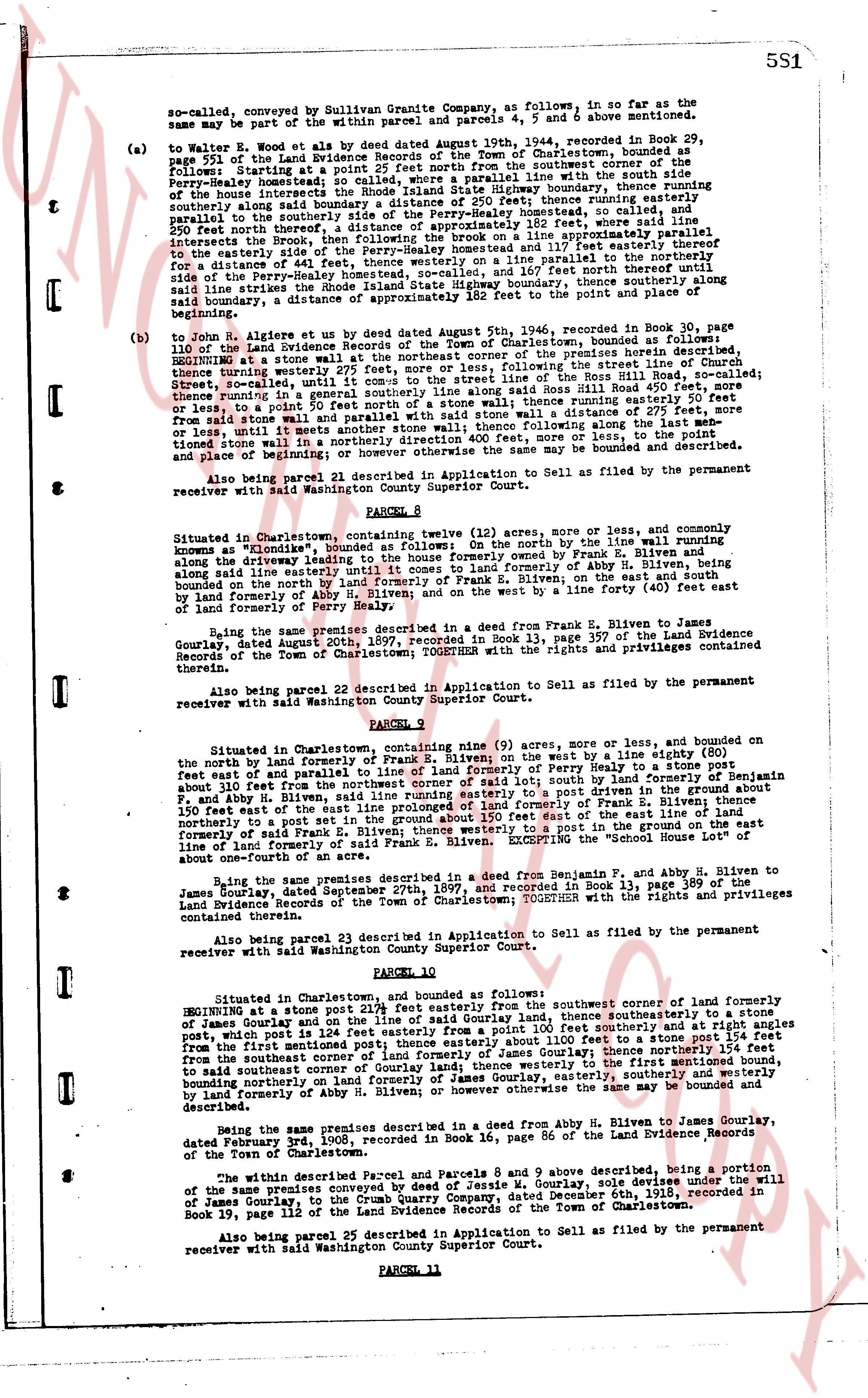
5S1
so-called, conveyed by Sullivan Granite Company, as follows: in so far as the
same may be part of the within and parcels 4, 5 and 6 above mentioned.
(a) to Walter E. Wood et als by deed dated August 10th, 1944, recorded in Book 29,
page 252 of the Land Evidence Records of the Town of Charlestown, bounded as follows:
beginning starting at a point 25 north from the southwesterly corner of the
Perry- hereby mentioned home stead, then running easterly with the line of the
long intercepts the Rhode Island State Highway boundary, thence running southwesterly
along said boundary a distance approximately 132 feet thence running southeasterly
along the boundary of the land formerly of Perry- hereby mentioned home stead, so called,
and then running southwesterly along said boundary a distance approximately 132 feet from
the 250 north offset there a distance of approximately 132 feet thence running easterly in a
line approximately parallel to the
easterly side of the Perry- hereby mentioned home stead and 117 feet square north parallel to the
southeasterly side of the Perry- hereby mentioned home stead, so-called, and 167 north feet there southwesterly
along said line to the southwesterly corner of said boundary, thence southerly along said
boundary, a distance of approximately 182 feet to the point and place of
beginning.
(b) to John Algiere et als by deed dated August 5th, 1946, recorded in Book 30, page
110 of the Land Evidence Records of the Town of Charlestown, bounded as follows:
BEGINNING at a stone wall on the southwesterly corner of said premises here described,
thence running westerly 275 feet approximately, following the street line of Church
Street, South Street, or called until it comes to the line of the Ross Hill Road 450 feet more,
or less to a point 50 north of a stone wall running easterly along said Ross Hill Road 450 feet more,
or less to a point 50 north of a stone wall thence running southerly a distance of 275 feet more,
or less until it meets another stone wall; thence following along said stone wall, to the point
and place of beginning; or however otherwise the same may be bounded and described.
Also being parcel 21 described in Application to Sell as filed by the permanent
receiver with said Washington County Superior Court.
PARCEL 9
Situated in Charlestown, containing twelve (12) acres, more or less, and commonly
known as "Elmwood", bounded as follows: On the north by the wall line running
alongway the driveway to land formerly of Perry- hereby mentioned home stead, bounded on the
east by land formerly of Abby H. Biven, along said line westerly until it comes to land formerly of Abby H. Biven, along the
boundary on the north by land formerly of Frank E. Biven, on the south bounded by a line forty (40) feet
east of land formerly of Perry hereby mentioned home stead.
Being the same premises described in a deed from Frank E. Biven to James
Gourlay, dated August 24th, 1938, recorded in Book 13, page 397 of the Land Evidence
Records of the Town of Charlestown; TOGETHER with the rights and privileges contained
therein.
Also being parcel 22 described in Application to Sell as filed by the permanent
receiver with said Washington County Superior Court.
PARCEL 9
Situated in Charlestown, containing nine (9) acres, more or less, bounded on the
north by land formerly of Frank E. Biven on the west by a line running eighty (80) ft
east 100 feet east of and parallel to land formerly of Perry hereby to a stone post
about 110 feet from the northwesterly corner of said lot; then by land formerly of Benjamin
f and Abby H. Biven, thence running southeasterly to a post driven in the ground about 150
feet easterly of the east line prolonged of land formerly of Frank E. Biven; thence running
northeasterly to a post set 100 feet easterly of the east line prolonged of the east line of land
formerly of said Frank E. Biven thence westerly to a post in the ground on the east line
of land formerly of said Frank E. Biven, then north to the point
about one-fourth of an acre.
Being the same premises described in a deed from Benjamin F. and Abby H. Biven to James
Gourlay, dated September 27th, 1937, and recorded in Book 13, page 389 of the
Land Evidence Records of the Town of Charlestown; TOGETHER with the rights and privileges
contained therein.
Also being parcel 23 described in Application to Sell as filed by the permanent
receiver with said Washington County Superior Court.
PARCEL 10
Situated in Charlestown, and bounded as follows: deed from Benjamin F. and Abby H. Biven to James
Gourlay BEGINNING at a stone post 215 feet easterly from the southwesterly corner of land formerly
of James Gourlay and then running said Gourlay land, thence southeasterly to a stone
post, which post is 126 feet easterly from a stone wall running east a distance 115 feet from
the first station; thence running southeasterly 115 feet to a line 154 feet from
the southwesterly corner of land formerly of James Gourlay; thence southeasterly the 115 feet
boundary running on the south line of land formerly of James Gourlay, easterly, southerly and westerly
by land formerly of Abby H. Biven; or however otherwise the same may be bounded and
described.
Being the same premises described in a deed from Abby H. Biven to James Gourlay,
dated February 24th, 1901, recorded in Book 16, page 86 of the Land Evidence Records
of the Town of Charlestown.
The within described Parcel and Parcels 8 and 9 above described, being a portion
of the same premises conveyed by deed of convexie of James Gourlay, sole devisees under the will
of James Gourlay to the permanent receiver, dated December 9th, 1955, recorded in
Book 19, page 112 of the Land Evidence Records of the Town of Charlestown.
Also being parcel 25 described in Application to Sell as filed by the permanent
receiver with said Washington County Superior Court.
PARCEL 11
page 5 · read by Gemma vision
552
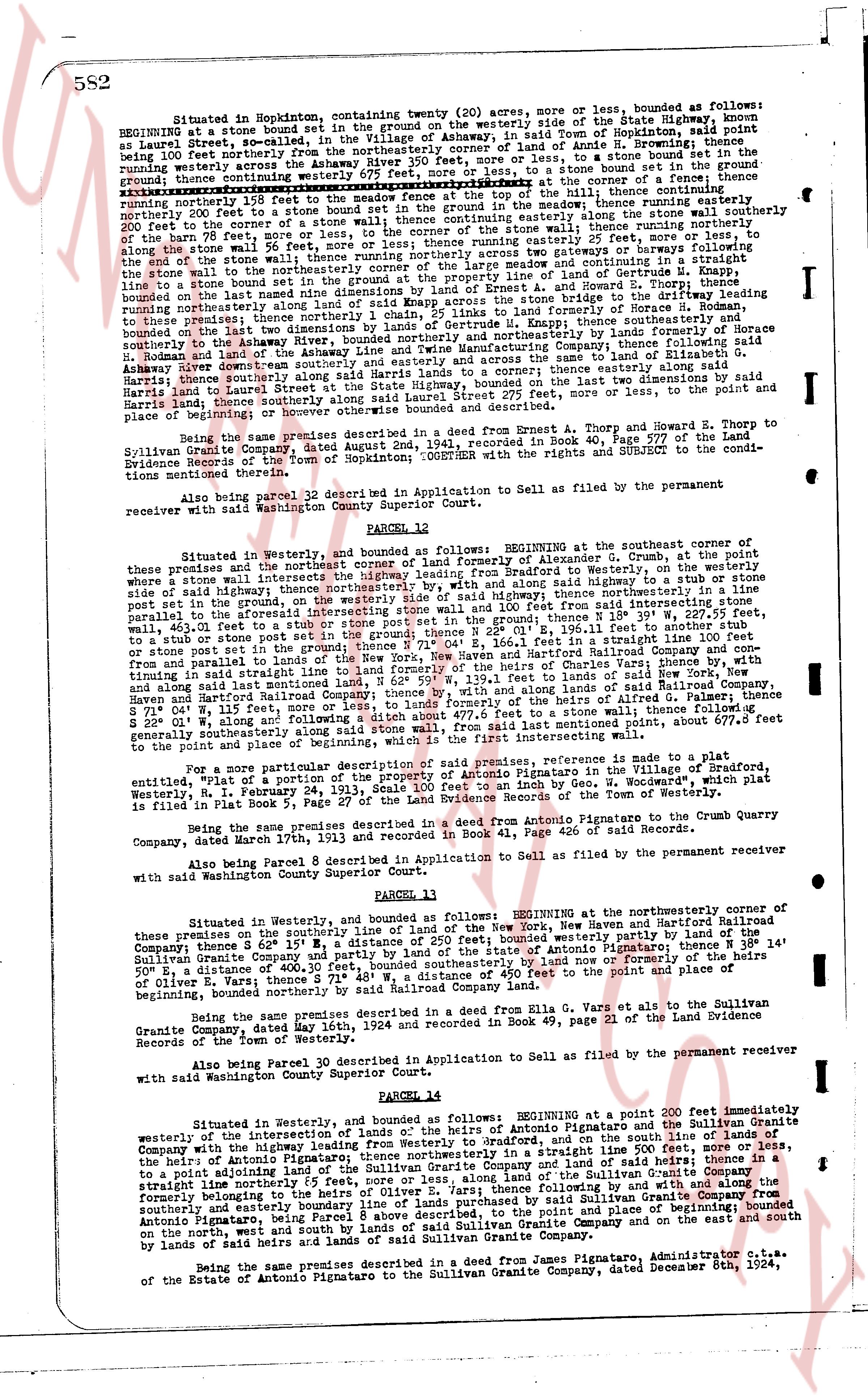
Situated in Hopkinton, containing twenty (20) acres, more or less, bounded as follows: BEGINNING at a stone bound set in the ground on the westerly side of the Highway from Charlestown to Hopkinton, known as Laurel Street, so called, in the town of Charlestown, in the Town of Hopkinton, said point being at the corner of land of Anne H. Browning; thence running easterly north easterly from the northeasterly corner of land of Anne H. Browning; thence the running westerly across the Ashaway River 350 feet, more or less, to a stone bound set in the ground at the corner of land of Gertrude M. Knapp; thence running northerly, to a stone bound set in the ground running approximately 150 feet from the Highway to the stone bound, hill thence continuing northerly approximately 200 feet to a stone bound set in the ground in the meadow; thence running south easterly along the stone wall southerly approximately 150 feet to a stone bound set along the stone wall southerly of the 78 feet, more or less, to the corner of the stone wall; thence running north easterly along the stone wall to the corner of land of Gertrude M. Knapp, approximately 100 feet, more or less, to the stone wall; thence running northerly across two gateways or barrowways following the stone wall to the northeasterly corner of land of Gertrude M. Knapp, and continuing north easterly along the stone bound to a stone bound set in the ground at the property line of land of Gertrude M. Knapp; running north easterly along the stone wall to the corner of land of Kid Knapp across the stone bridge to the driftway leading to these premises; thence northerly 1 chain; then southerly along the stone wall to the corner of land of Gertrude M. Knapp; thence southeasterly and bound easterly by the stone wall to the corner of land of Gertrude M. Knapp; thence running south easterly southerly to the Ashaway River, bounded westerly by the Ashaway River and the Ashaway Manufacturing Company following said Ashaway River bounded south easterly and easterly across the same river to a stone bound set in the ground on the Ashaway river downstream southerly and easterly across the same river; thence easterly along said Harris land to Laurel Street at the State Highway, bounded on the last two distances said Harris land to Laurel Street at the State Highway, bounded on the last two distances said Harris land to Laurel Street at the State Highway, bounded on the last two distances said Harris land to Laurel Street at the State Highway, bounded on the last two distances said Harris land to Laurel Street at the State Highway, bounded on the last two distances said Harris land to Laurel Street at the State Highway, bounded on the last two distances said Harris land to Laurel Street at the State Highway, bounded on the last two distances said Harris land to Laurel Street at the State Highway, bounded on the last two distances said Harris land to Laurel Street at the State Highway, bounded on the last two distances said Harris land to Laurel Street at the State Highway, bounded on the last two distances said Harris land to Laurel Street at the State Highway, bounded on the last two distances said Harris land to Laurel Street at the State Highway, bounded on the last two distances said Harris land to Laurel Street at the State Highway, bounded on the last two distances said Harris land to Laurel Street at the State Highway, bounded on the last two distances said Harris land to Laurel Street at the State Highway, bounded on the last two distances said Harris land to Laurel Street at the State Highway, bounded on the last two distances said Harris land to Laurel Street at the State Highway, bounded on the last two distances said Harris land to Laurel Street at the State Highway, bounded on the last two distances said Harris land to Laurel Street at the State Highway, bounded on the last two distances said Harris land to Laurel Street at the State Highway, bounded on the last two distances said Harris land to Laurel Street at the State Highway, bounded on the last two distances said Harris land to Laurel Street at the State Highway, bounded on the last two distances said Harris land to Laurel Street at the State Highway, bounded on the last two distances said Harris land to Laurel Street at the State Highway, bounded on the last two distances said Harris land to Laurel Street at the State Highway, bounded on the last two distances said Harris land to Laurel Street at the State Highway, bounded on the last two distances said Harris land to Laurel Street at the State Highway, bounded on the last two distances said Harris land to Laurel Street at the State Highway, bounded on the last two distances said Harris land to Laurel Street at the State Highway, bounded on the last two distances said Harris land to Laurel Street at the State Highway, bounded on the last two distances said Harris land to Laurel Street at the State Highway, bounded on the last two distances said Harris land to Laurel Street at the State Highway, bounded on the last two distances said Harris land to Laurel Street at the State Highway, bounded on the last two distances said Harris land to Laurel Street at the State Highway, bounded on the last two distances said Harris land to Laurel Street at the State Highway, bounded on the last two distances said Harris land to Laurel Street at the State Highway, bounded on the last two distances said Harris land to Laurel Street at the State Highway, bounded on the last two distances said Harris land to Laurel Street at the State Highway, bounded on the last two distances said Harris land to Laurel Street at the State Highway, bounded on the last two distances said Harris land to Laurel Street at the State Highway, bounded on the last two distances said Harris land to Laurel Street at the State Highway, bounded on the last two distances said Harris land to Laurel Street at the State Highway, bounded on the last two distances said Harris land to Laurel Street at the State Highway, bounded on the last two distances said Harris land to Laurel Street at the State Highway, bounded on the last two distances said Harris land to Laurel Street at the State Highway, bounded on the last two distances said Harris land to Laurel Street at the State Highway, bounded on the last two distances said Harris land to Laurel Street at the State Highway, bounded on the last two distances said Harris land to Laurel Street at the State Highway, bounded on the last two distances said Harris land to Laurel Street at the State Highway, bounded on the last two distances said Harris land to Laurel Street at the State Highway, bounded on the last two distances said Harris land to Laurel Street at the State Highway, bounded on the last two distances said Harris land to Laurel Street at the State Highway, bounded on the last two distances said Harris land to Laurel Street at the State Highway, bounded on the last two distances said Harris land to Laurel Street at the State Highway, bounded on the last two distances said Harris land to Laurel Street at the State Highway, bounded on the last two distances said Harris land to Laurel Street at the State Highway, bounded on the last two distances said Harris land to Laurel Street at the State Highway, bounded on the last two distances said Harris land to Laurel Street at the State Highway, bounded on the last two distances said Harris land to Laurel Street at the State Highway, bounded on the last two distances said Harris land to Laurel Street at the State Highway, bounded on the last two distances said Harris land to Laurel Street at the State Highway, bounded on the last two distances said Harris land to Laurel Street at the State Highway, bounded on the last two distances said Harris land to Laurel Street at the State Highway, bounded on the last two distances said Harris land to Laurel Street at the State Highway, bounded on the last two distances said Harris land to Laurel Street at the State Highway, bounded on the last two distances said Harris land to Laurel Street at the State Highway, bounded on the last two distances said Harris land to Laurel Street at the State Highway, bounded on the last two distances said Harris land to Laurel Street at the State Highway, bounded on the last two distances said Harris land to Laurel Street at the State Highway, bounded on the last two distances said Harris land to Laurel Street at the State Highway, bounded on the last two distances said Harris land to Laurel Street at the State Highway, bounded on the last two distances said Harris land to Laurel Street at the State Highway, bounded on the last two distances said Harris land to Laurel Street at the State Highway, bounded on the last two distances said Harris land to Laurel Street at the State Highway, bounded on the last two distances said Harris land to Laurel Street at the State Highway, bounded on the last two distances said Harris land to Laurel Street at the State Highway, bounded on the last two distances said Harris land to Laurel Street at the State Highway, bounded on the last two distances said Harris land to Laurel Street at the State Highway, bounded on the last two distances said Harris land to Laurel Street at the State Highway, bounded on the last two distances said Harris land to Laurel Street at the State Highway, bounded on the last two distances said Harris land to Laurel Street at the State Highway, bounded on the last two distances said Harris land to Laurel Street at the State Highway, bounded on the last two distances said Harris land to Laurel Street at the State Highway, bounded on the last two distances said Harris land to Laurel Street at the State Highway, bounded on the last two distances said Harris land to Laurel Street at the State Highway, bounded on the last two distances said Harris land to Laurel Street at the State Highway, bounded on the last two distances said Harris land to Laurel Street at the State Highway, bounded on the last two distances said Harris land to Laurel Street at the State Highway, bounded on the last two distances said Harris land to Laurel Street at the State Highway, bounded on the last two distances said Harris land to Laurel Street at the State Highway, bounded on the last two distances said Harris land to Laurel Street at the State Highway, bounded on the last two distances said Harris land to Laurel Street at the State Highway, bounded on the last two distances said Harris land to Laurel Street at the State Highway, bounded on the last two distances said Harris land to Laurel Street at the State Highway, bounded on the last two distances said Harris land to Laurel Street at the State Highway, bounded on the last two distances said Harris land to Laurel Street at the State Highway, bounded on the last two distances said Harris land to Laurel Street at the State Highway, bounded on the last two distances said Harris land to Laurel Street at the State Highway, bounded on the last two distances said Harris land to Laurel Street at the State Highway, bounded on the last two distances said Harris land to Laurel Street at the State Highway, bounded on the last two distances said Harris land to Laurel Street at the State Highway, bounded on the last two distances said Harris land to Laurel Street at the State Highway, bounded on the last two distances said Harris land to Laurel Street at the State Highway, bounded on the last two distances said Harris land to Laurel Street at the State Highway, bounded on the last two distances said Harris land to Laurel Street at the State Highway, bounded on the last two distances said Harris land to Laurel Street at the State Highway, bounded on the last two distances said Harris land to Laurel Street at the State Highway, bounded on the last two distances said Harris land to Laurel Street at the State Highway, bounded on the last two distances said Harris land to Laurel Street at the State Highway, bounded on the last two distances said Harris land to Laurel Street at the State Highway, bounded on the last two distances said Harris land to Laurel Street at the State Highway, bounded on the last two distances said Harris land to Laurel Street at the State Highway, bounded on the last two distances said Harris land to Laurel Street at the State Highway, bounded on the last two distances said Harris land to Laurel Street at the State Highway, bounded on the last two distances said Harris land to Laurel Street at the State Highway, bounded on the last two distances said Harris land to Laurel Street at the State Highway, bounded on the last two distances said Harris land to Laurel Street at the State Highway, bounded on the last two distances said Harris land to Laurel Street at the State Highway, bounded on the last two distances said Harris land to Laurel Street at the State Highway, bounded on the last two distances said Harris land to Laurel Street at the State Highway, bounded on the last two distances said Harris land to Laurel Street at the State Highway, bounded on the last two distances said Harris land to Laurel Street at the State Highway, bounded on the last two distances said Harris land to Laurel Street at the State Highway, bounded on the last two distances said Harris land to Laurel Street at the State Highway, bounded on the last two distances said Harris land to Laurel Street at the State Highway, bounded on the last two distances said Harris land to Laurel Street at the State Highway, bounded on the last two distances said Harris land to Laurel Street at the State Highway, bounded on the last two distances said Harris land to Laurel Street at the State Highway, bounded on the last two distances said Harris land to Laurel Street at the State Highway, bounded on the last two distances said Harris land to Laurel Street at the State Highway, bounded on the last two distances said Harris land to Laurel Street at the State Highway, bounded on the last two distances said Harris land to Laurel Street at the State Highway, bounded on the last two distances said Harris land to Laurel Street at the State Highway, bounded on the last two distances said Harris land to Laurel Street at the State Highway, bounded on the last two distances said Harris land to Laurel Street at the State Highway, bounded on the last two distances said Harris land to Laurel Street at the State Highway, bounded on the last two distances said Harris land to Laurel Street at the State Highway, bounded on the last two distances said Harris land to Laurel Street at the State Highway, bounded on the last two distances said Harris land to Laurel Street at the State Highway, bounded on the last two distances said Harris land to Laurel Street at the State Highway, bounded on the last two distances said Harris land to Laurel Street at the State Highway, bounded on the last two distances said Harris land to Laurel Street at the State Highway, bounded on the last two distances said Harris land to Laurel Street at the State Highway, bounded on the last two distances said Harris land to Laurel Street at the State Highway, bounded on the last two distances said Harris land to Laurel Street at the State Highway, bounded on the last two distances said Harris land to Laurel Street at the State Highway, bounded on the last two distances said Harris land to Laurel Street at the State Highway, bounded on the last two distances said Harris land to Laurel Street at the State Highway, bounded
page 6 · read by Gemma vision
553
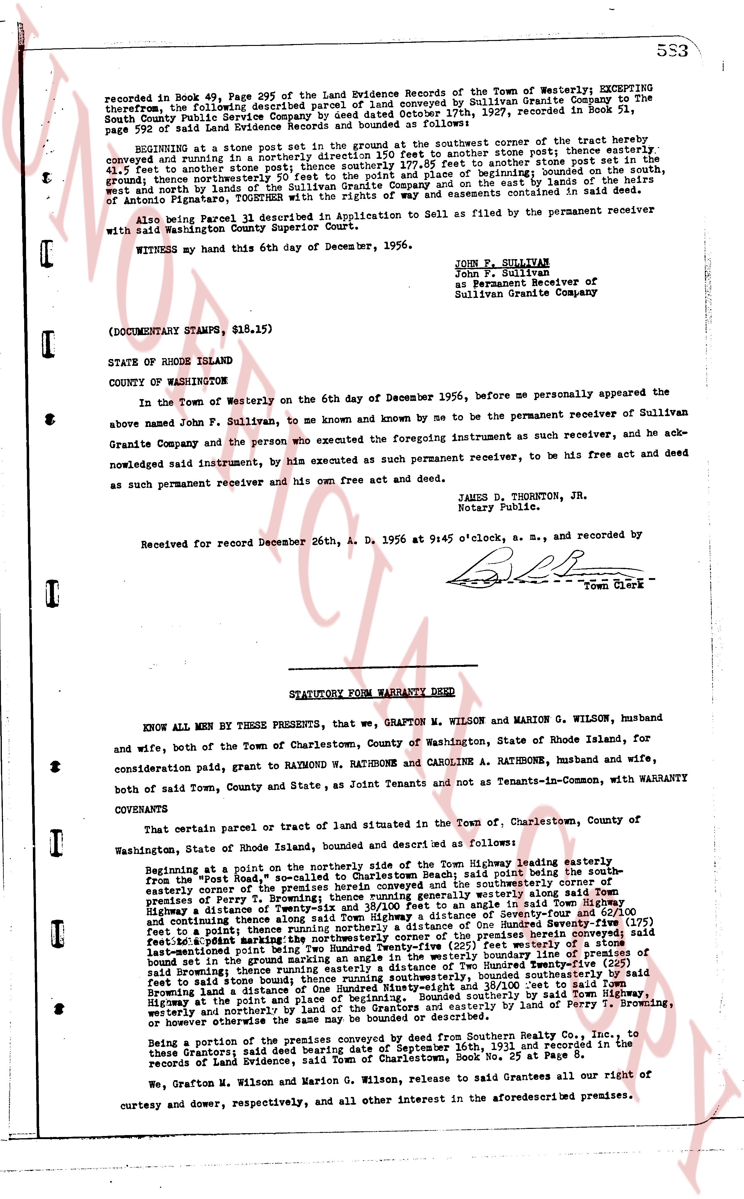
recorded in Book 49, Page 295 of the Land Evidence Records of the Town of Westerly; EXCEPTING therefrom, the following described parcel conveyed from Sullivan Granite Company to the South Providence Granite Company by Deed dated October 17th, 1897, recorded in Book 49, page 592 of said Land Evidence Records and bounded as follows:
BEGINNING at a stone post set in the ground at the southeast corner of the tract hereby, conveyed and running in a northerly direction 155.5 feet to another stone post; thence easterly 41.5 feet to another stone post; thence northerly 155.5 feet; thence southeasterly 177.85 feet to another stone post set in the ground; thence northwestly 90 feet to the point and place of beginning boundary line of the south, ground; thence northwestly 90 feet to the point and place of beginning; bounded on the east by the lands of the heirs of Antonio Pignatore, TOGETHER with the rights of way and easements contained in said deed.
Also being Parcel 31 described in Application to Sell as filed by the permanent receiver with Washington County Superior Court.
And in witness whereof the parties have hereunto set their hands this 6th day of December, 1956.
JOHN F. SULLIVAN
John F. Sullivan
as Permanent Receiver of
Sullivan Granite Company
WITNESS my hand this 6th day of December, 1956.
(DOCUMENTARY STAMPS, $18.15)
STATE OF RHODE ISLAND
COUNTY OF WASHINGTON
In the Town of Westerly on the 6th day of December 1956, before me personally appeared the above named John F. Sullivan, to me known and known by me to be the permanent receiver of Sullivan Granite Company and the person who executed the foregoing instrument as such receiver, and he acknowledged said instrument, by his executed as such permanent receiver, to be his free act and deed and as such permanent receiver and his own free Act and deed.
JAMES D. THORNTON, JR.
Notary Public.
Received for record December 26th, A. D. 1956 at 9:45 o'clock, a. m., and recorded by [?] Town Clerk
----
STATUTORY FORM WARRANTY DEED
KNOW ALL MEN BY THESE PRESENTS, that we, GRAPTON M. WILSON and MARION G. WILSON, husband and wife, both of the Town of Charlestown, County of Washington, State of Rhode Island, for consideration paid, grant to RATHBONE W. RATHBONE and CAROLINE A. RATHBONE, husband and wife, both of said Town, County and State, as Joint Tenants and not as Tenants-in-Common, with WARRANTY COVENANTS
That certain parcel or tract of land situated in the Town of Charlestown, County of Washington, State of Rhode Island, bounded and described as follows:
Beginning at a point on the northerly side of the Town Highway leading easterly from the "Post Road" in the Town of Charlestown, said point being the southeasterly corner of the premises herein conveyed and the southeasterly corner of the lands of the premises of Perry T. Browning; thence running easterly along said Town Highway, a distance of 110 feet to a stone post; thence northerly 100 feet to an angle; thence northwestly along said Town Highway, a distance of 110 feet to an angle; thence northerly 100 feet to an angle; thence southeastly 160 feet to a stone post; thence northerly 100 feet to an angle; thence southeastly a distance of One Hundred Seventy-five (175) feet to a stone post; thence northerly 100 feet to an angle; thence southeastly 160 feet to a stone post; thence southeastly a point marking the northwesterly corner of the boundary line of the premises of Perry T. Browning; thence running southeasterly along said Town Highway, a distance of 110 feet to a stone post; thence southerly 100 feet to an angle; thence westerly 160 feet to a stone post bound set in the ground marking an angle in the westerly boundary line of the premises of Perry T. Browning; thence running northwestly along said boundary line a distance of 175 feet to a stone post; thence southerly 100 feet to an angle; thence southeasterly 160 feet to a stone post; thence running southeasterly, bounded then southeasterly by said Browning land a distance of 110 feet to a stone post; thence southwesterly 160 feet to a stone post; thence running highway at the point and place of beginning. Bounded southerly by said Town Highway, westerly and northerly by the lands of the grantor and grantee and easterly by the lands of Perry T. Browning, or however otherwise the same may be bounded or described.
Being a portion of the premises conveyed by deed from Southern Granite Co., Inc. to the these Grantors; said deed bearing date December 14th, 1951 and recorded in the records of Land Evidence, said Town of Charlestown, Book No. 25 at Page 5.
We, Grafton M. Wilson and Marion G. Wilson, release to said Grantees all our right of curtesy and dower, respectively, and all other interest in the aforesaid premises.
The page as recorded