The instrument's own words
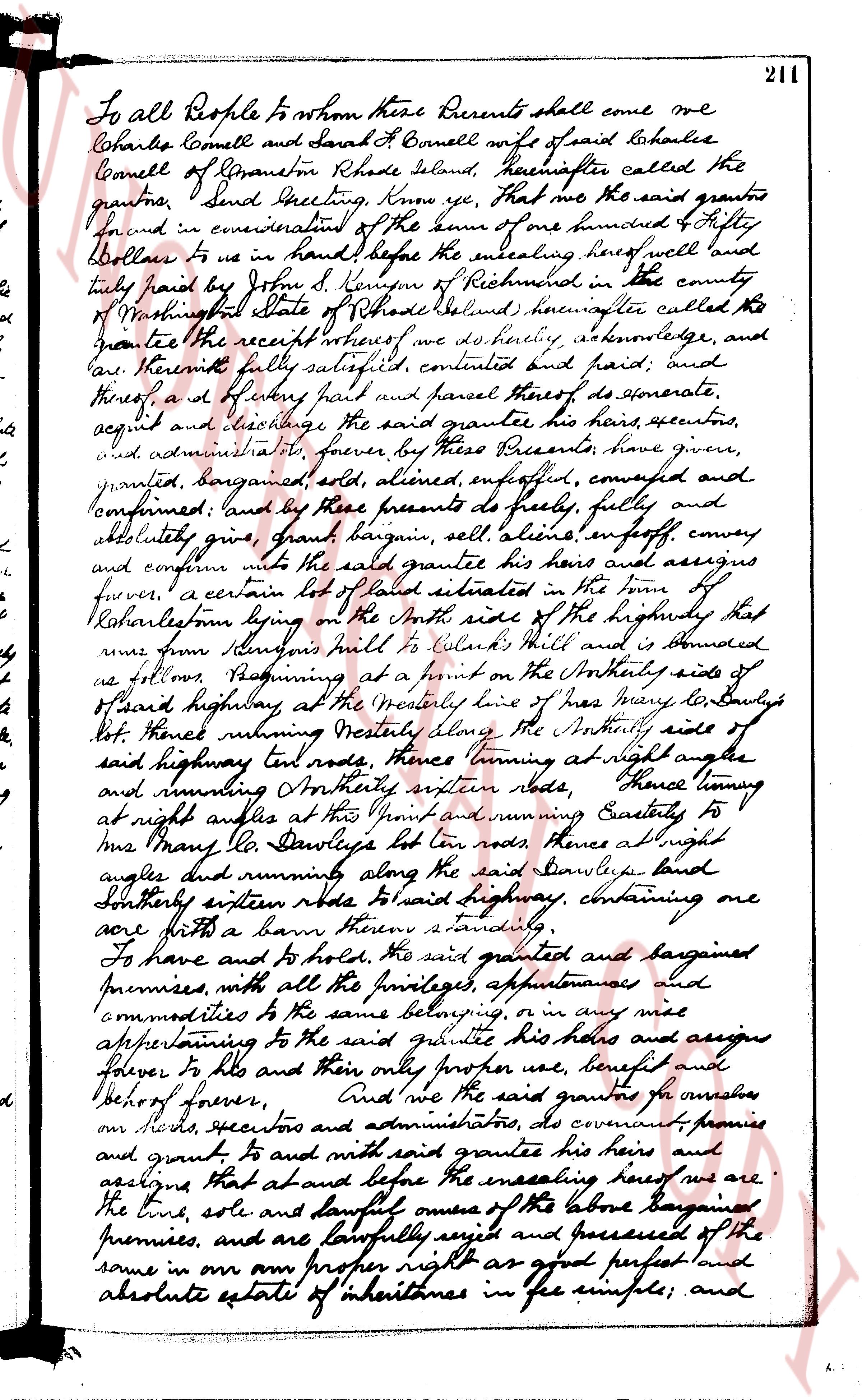
page 1
To all People to whom these Presents shall come we
Charles Cornell and Sarah H. Cornell wife of said Charles
Cornell of Glocester Rhode Island, hereinafter called the
grantors, Send Greeting, Know ye, that we the said grantors
found in consideration of the sum of one hundred & fifty
Dollars to us in hand before the sealing hereof well and
fully paid by John S Kenyon of Richmond in the county
of Washington State of Rhode Island, hereinafter called the
grantee the receipt whereof we do hereby acknowledge, and
declare hereby fully satisfied, contented and paid; and
thereof also by these presents and parcel thereof do covenant,
agree and release the said grantor his heirs, executors,
and administrators forever, by these Presents have given,
granted, bargained sold, aliened, enfeoffed, conveyed and
confirmed; and by these presents do fully, fully and
absolutely give, grant bargain sell, alien enfeoff, convey
and confirm unto the said grantee his heirs and assigns
forever, a certain lot of land situated in the town of
Glocester form by on the North side of the highway that
runs from Simmons mill to Clarks Mill and is bounded
as follows, Beginning at a point on the Northerly side of
said highway at the westerly line of Mrs Mary Deawley's
lot, thence running westerly along the Northerly side of
said highway Ten rods, thence turning at right angle
and running Southerly seven rods, thence turning
at right angles at the point and running Easterly to
Mrs Mary Deawley's lot ten rods, thence at right angles
did running along the said Deawley's land
Southerly sixteen rods to said highway, containing one
acre with a barn thereon standing.
To have and to hold, the said granted and bargained
premises, with all the privileges, appurtenances and
commodities to the same belonging, or in any wise
appertaining to the said grantee his heirs and assigns
forever to him and their only proper use, benefit and
behoof forever, And we the said grantors for ourselves
our heirs, executors and administrators, do covenant, promise
and grant to and with said grantee his heirs and
assigns That at all and before the sealing hereof we are the
true, sole and lawful owners of the above bargained
premises, and are lawfully seized and possessed of the
same in our own proper right as good perfect and
absolute estate of inheritance in fee simple; and
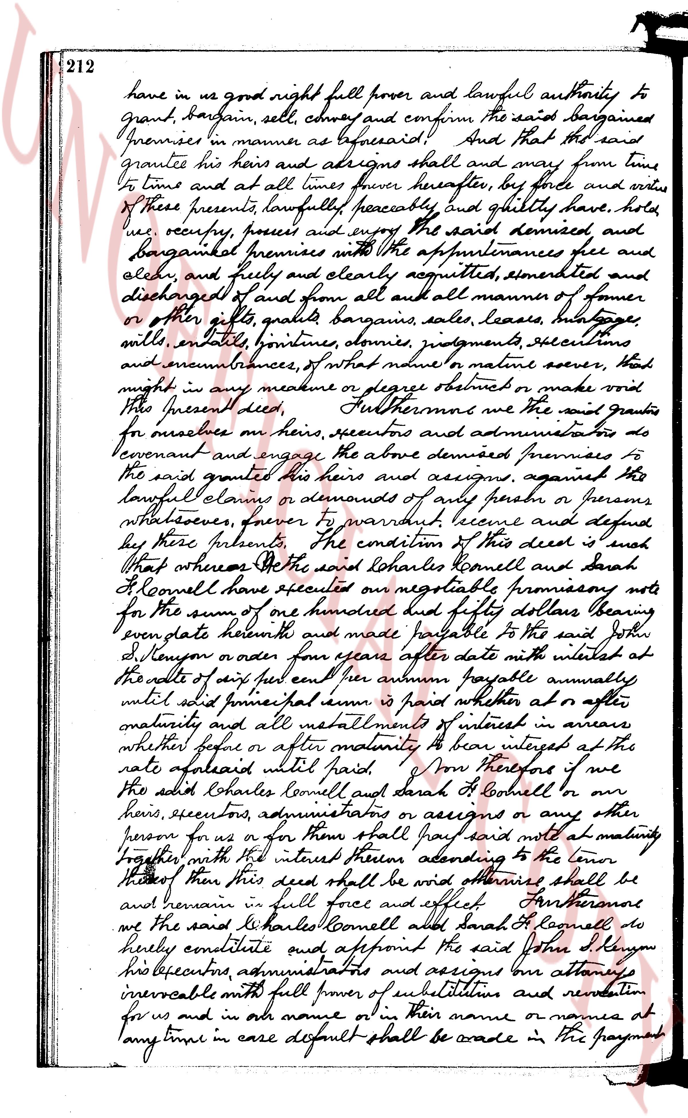
page 2
have in us good right full power and lawful authority to
grant, bargain, sell, convey and confirm the said bargained
premises in manner as aforesaid And that the said
grantee his heirs and assigns shall and may from time
to time and at all times forever hereafter by force and virtue
of these presents lawfully peaceably and quietly have, hold
use, occupy, possess and enjoy the said demised and
bargained premises with the appurtenances fee and
elech, and freely and clearly acquitted exempted and
discharged of and from all and all manner of former
or other gifts, grants, bargains, sales, leases, heritages
wills, entails, doweries, dowries, judgments, executions
and encumbrances, of what nature or manner soever, that
might in any measure or degree obstruct or make void
this present deed. Furthermore we the said grantors
for ourselves or heirs, executors and administrators do
covenant and engage the above demised premises to
the said grantee his heirs and assigns, against any
lawful claims or demands of any person or persons
whatsoever forever to warrant secure and defend
by these presents. The condition of this deed is such
that whereas we the said Charles Connell and Sarah
L Connell have effected one negotiable promissory note
for the sum of one hundred and fifty dollars bearing
even date herewith and made payable to the said John
S Kenyon or order four years after date with interest at
the rate of six per cent per annum payable annually
until said principal sum is paid whether at or after
maturity and all installments of interest in arrears
whether before or after maturity to bear interest at the
rate aforesaid until paid. Now therefore if we
the said Charles Connell and Sarah L Connell or our
heirs, executors, administrators or assigns or any other
person for us or for them shall pay said note at maturity
together with the interest thereon according to the tenor
thereof then this deed shall be void otherwise shall be
and remain in full force and effect. Furthermore
we the said Charles Connell and Sarah L Connell do
hereby constitute and appoint the said John S Kenyon
his executors, administrators and assigns our attorneys
irrevocable with full power of substitution and remunition
for us and in our name or in their name or names at
any time in case default shall be made in the payment
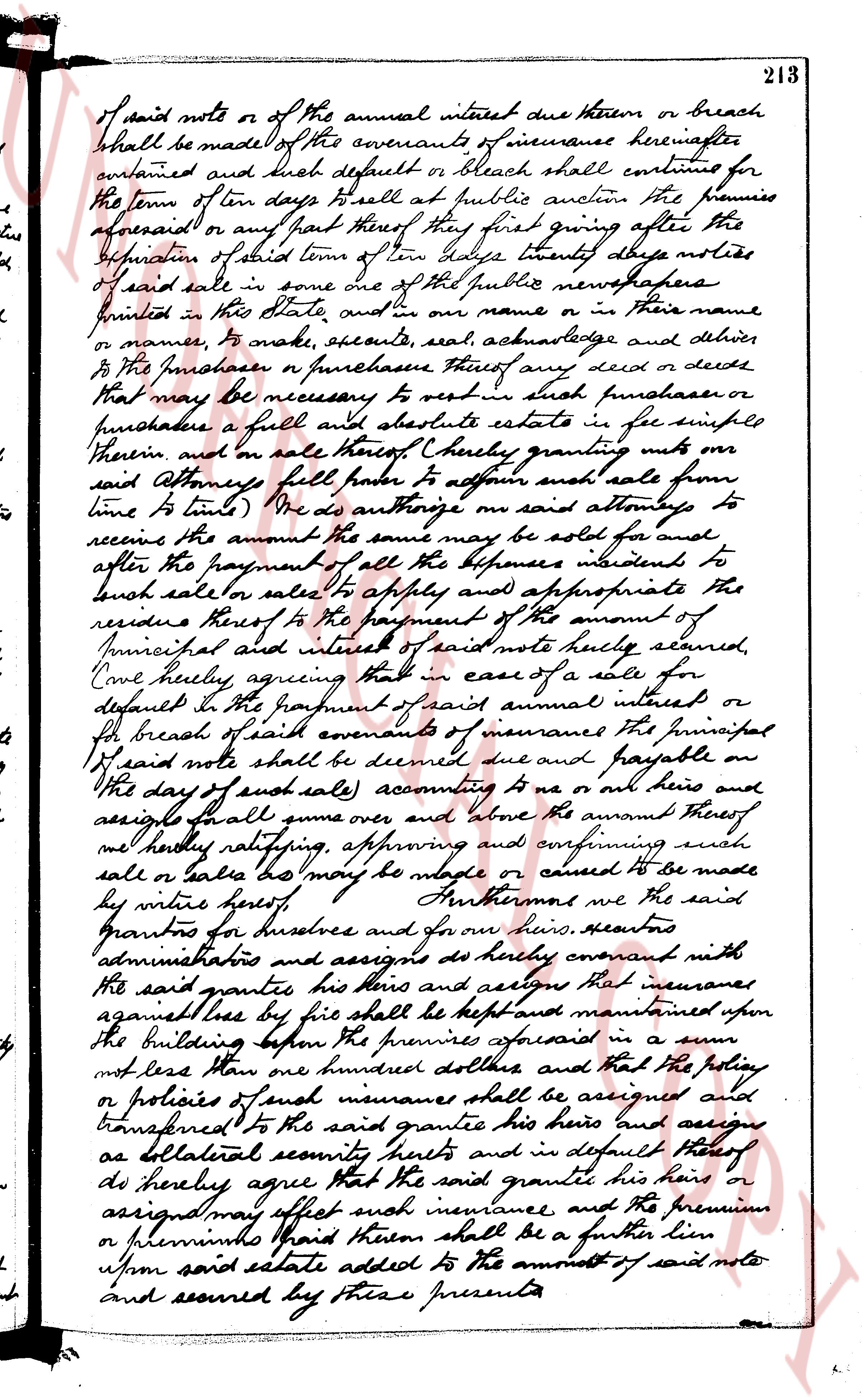
page 3
of said note or of the annual interest due thereon or breach
shall be made of the covenants of insurance hereinafter
contained and such default or breach shall continue for
the term of ten days He shall at public auction the premises
aforesaid or any part thereof they first giving after the
expiration of said term of ten days thirty days notice
of said sale in some one of the public newspapers
printed in this State and in our name or in their name
or names, to make execute, seal, acknowledge and deliver
to the purchaser or purchasers thereof any deed or deeds
that may be necessary to vest in such purchaser or
purchaser a full and absolute estate in fee simple
Therein and in all other things Hereby granting unto
said Attorney full power to affirm such sale from
time to time We do authorize on said attorneys to
receive the amount the same may be sold for and
after the payment of all the expenses incident to
such sale or sales to apply and appropriate the
residue thereof to the payment of the amount of
Principal and interest of said note hereby secured
Core hereby agreeing that in case of a sale for
default in the payment of said annual interest or
for breach of said covenant of insurance The principal
of said note shall be deemed due and payable on
the day of such sale accounting to me or our heirs and
assigns shall give over and above the amount thereof
we hereby ratifying approving and confirming such
sale or sales as may be made or caused to be made
by virtue hereof Furthermore we the said
grantors for ourselves and for our heirs executors
administrations and assigns do hereby covenant with
the said grantees his heirs and assigns that insurance
against loss by fire shall be kept and maintained upon
the building upon the premises aforesaid in a sum
not less than one hundred dollars and that the policy
or policies of such insurance shall be assigned and
transferred to the said grantees his heirs and assigns
as collateral security hereof and in default thereof
do hereby agree that the said grantee his heirs or
assigns may effect such insurance and the premium
or premiums paid thereon shall be a further lien
upon said estate added to the amount of said note
and secured by these presents
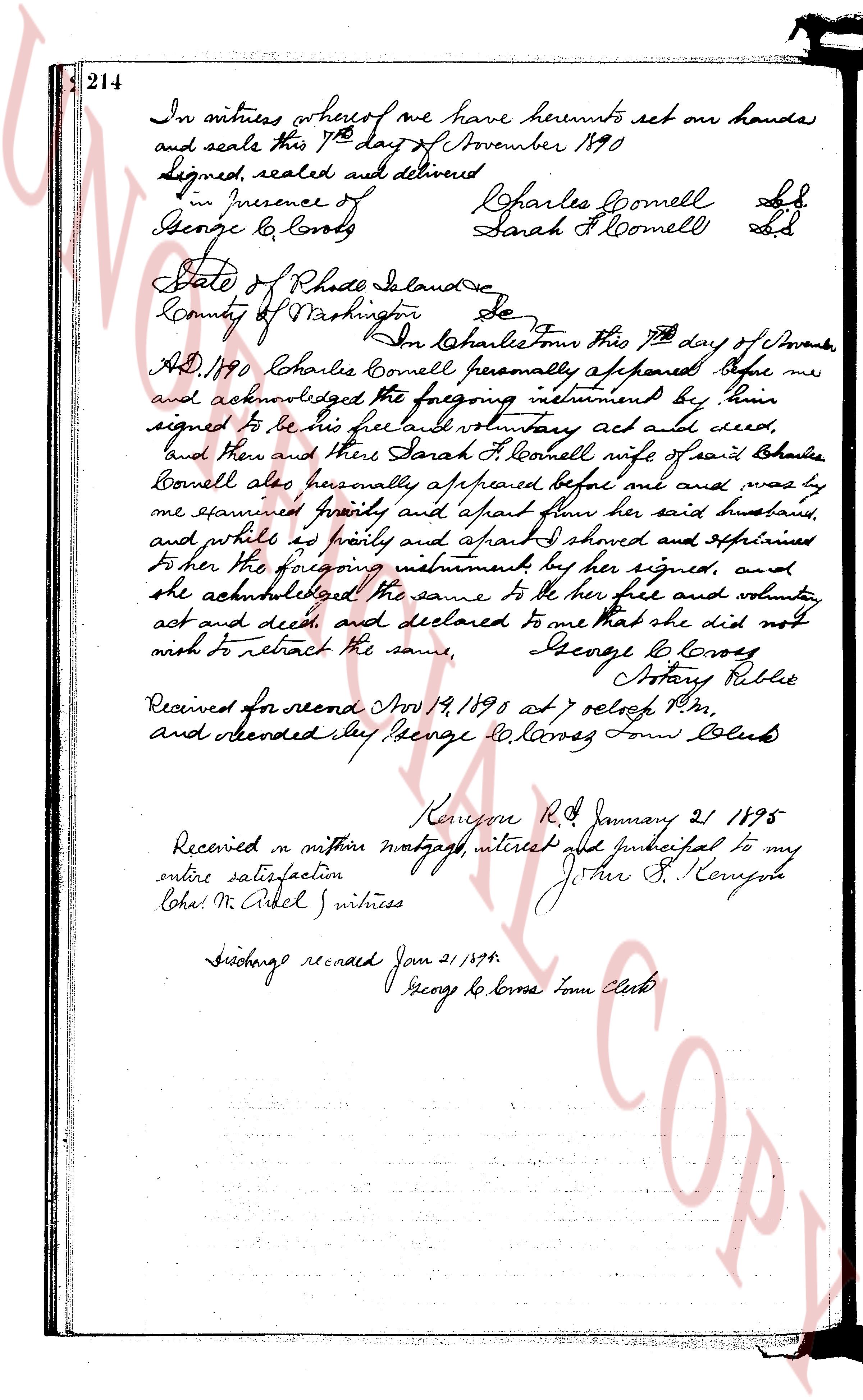
page 4
214
In witness whereof we have hereunto set our hands
and seals this 7th day of November 1890
Signed, sealed and delivered
in presence of Charles Cornell L.S.
George G. Loros Sarah H. Cornell L.S.
State of Rhode Island
County of Washington Ss.
In Charles Town this 7th day of November
A.D. 1890 Charles Cornell personally appeared before me
and acknowledged the foregoing instrument by him
signed to be his free and voluntary act and deed,
and then and there Sarah H. Cornell wife of said Charles
Cornell also personally appeared before me and was by
me examined privately and apart from her said husband,
and whilst so privately and apart I showed and explained
to her the foregoing instrument by her signed, and
she acknowledged the same to be her free and voluntary
act and deed, and declared to me that she did not
wish to retract the same, George G. Loros
Notary Public
Received for record Nov 19, 1890 at 7 oclock P.M.
and recorded say George G. Loros Town Clerk
Kensington R.I. January 21 1895
Received on certain mortgage interest and principal to my
entire satisfaction John S. Kenyon
Loha M. Arkel witness
Discharge recorded Jan 21 1895
George G. Loros Town Clerk
page 5
552
Situated in Hopkinton, containing twenty (20) acres, more or less, bounded as follows:
BEGINNING at a stone bound set in the ground on the westerly side of the Highway known
as Laurel Street, so called, intersecting it in a Storm of Hopkinton, said point
as least nearly north of the northeasterly corner of land of A. Browning; thence
the boundary running southeasterly across the Ashaway River 350 feet, more or less, to a stone bound set in the ground
running southeasterly across the Highway known as Laurel Street, so called, to a stone bound set in the ground
running southeasterly 130 feet, more or less, to a stone bound set in the ground; thence continuing
northerly 200 feet to a stone bound set in the ground in the meadow; thence southeasterly
200 feet to a stone bound set in the ground; thence running southeasterly along the stone wall southeasterly
200 feet to a stone bound set in the ground; thence running southeasterly along the stone wall southeasterly
on the 78 feet, more or less, to the corner of the stone wall; thence running southeasterly along the stone wall southeasterly
200 feet, more or less, to a stone bound set in the ground; thence running southeasterly 100 feet, more or less, to
along the stone wall southeasterly; thence running northerly across two gateways or barcelona followings
the stone wall southeasterly 100 feet, more or less, to a stone bound set in the ground; thence continuing
the stone bound wall to the northeasterly corner of land of Gertrude M. Knapp; thence
southeasterly along the stone wall bounding said ground at the property line of land of Gertrude M. Knapp,
bounded on the last named nine dimensions; thence from said Knapp across the stone bridge to the driftway leading
to these premises; thence northerly 1 chain; then southeasterly along the property line of land of
Gertrude M. Knapp; thence southeasterly and bounded by lands of Gertrude M. Knapp; thence southeasterly and
bounded by lands of Gertrude M. Knapp; thence southeasterly and bounded by lands of Gertrude M. Knapp; thence
southeasterly to the Ashaway River, bounded northerly and southeasterly by the New Haven and Hartford Railway Company; thence following said
Ashaway River downstream southeasterly and easterly across the same 60 rods of land; thence easterly along
Harris's land to Laurel Street at the State highway, bounded on the last two dimensions easterly along
Harris's land to Laurel Street at the State highway, bounded on the last two dimensions easterly along
Harris's land to Laurel Street at the State highway, bounded on the last two dimensions easterly along
Harris's land to Laurel Street at the State highway, bounded on the last two dimensions easterly along
Harris's land to Laurel Street at the State highway, bounded on the last two dimensions easterly along
Harris's land to Laurel Street at the State highway, bounded on the last two dimensions easterly along
Harris's land to Laurel Street at the State highway, bounded on the last two dimensions easterly along
Harris's land to Laurel Street at the State highway, bounded on the last two dimensions easterly along
Harris's land to Laurel Street at the State highway, bounded on the last two dimensions easterly along
Harris's land to Laurel Street at the State highway, bounded on the last two dimensions easterly along
Harris's land to Laurel Street at the State highway, bounded on the last two dimensions easterly along
Harris's land to Laurel Street at the State highway, bounded on the last two dimensions easterly along
Harris's land to Laurel Street at the State highway, bounded on the last two dimensions easterly along
Harris's land to Laurel Street at the State highway, bounded on the last two dimensions easterly along
Harris's land to Laurel Street at the State highway, bounded on the last two dimensions easterly along
Harris's land to Laurel Street at the State highway, bounded on the last two dimensions easterly along
Harris's land to Laurel Street at the State highway, bounded on the last two dimensions easterly along
Harris's land to Laurel Street at the State highway, bounded on the last two dimensions easterly along
Harris's land to Laurel Street at the State highway, bounded on the last two dimensions easterly along
Harris's land to Laurel Street at the State highway, bounded on the last two dimensions easterly along
Harris's land to Laurel Street at the State highway, bounded on the last two dimensions easterly along
Harris's land to Laurel Street at the State highway, bounded on the last two dimensions easterly along
Harris's land to Laurel Street at the State highway, bounded on the last two dimensions easterly along
Harris's land to Laurel Street at the State highway, bounded on the last two dimensions easterly along
Harris's land to Laurel Street at the State highway, bounded on the last two dimensions easterly along
Harris's land to Laurel Street at the State highway, bounded on the last two dimensions easterly along
Harris's land to Laurel Street at the State highway, bounded on the last two dimensions easterly along
Harris's land to Laurel Street at the State highway, bounded on the last two dimensions easterly along
Harris's land to Laurel Street at the State highway, bounded on the last two dimensions easterly along
Harris's land to Laurel Street at the State highway, bounded on the last two dimensions easterly along
Harris's land to Laurel Street at the State highway, bounded on the last two dimensions easterly along
Harris's land to Laurel Street at the State highway, bounded on the last two dimensions easterly along
Harris's land to Laurel Street at the State highway, bounded on the last two dimensions easterly along
Harris's land to Laurel Street at the State highway, bounded on the last two dimensions easterly along
Harris's land to Laurel Street at the State highway, bounded on the last two dimensions easterly along
Harris's land to Laurel Street at the State highway, bounded on the last two dimensions easterly along
Harris's land to Laurel Street at the State highway, bounded on the last two dimensions easterly along
Harris's land to Laurel Street at the State highway, bounded on the last two dimensions easterly along
Harris's land to Laurel Street at the State highway, bounded on the last two dimensions easterly along
Harris's land to Laurel Street at the State highway, bounded on the last two dimensions easterly along
Harris's land to Laurel Street at the State highway, bounded on the last two dimensions easterly along
Harris's land to Laurel Street at the State highway, bounded on the last two dimensions easterly along
Harris's land to Laurel Street at the State highway, bounded on the last two dimensions easterly along
Harris's land to Laurel Street at the State highway, bounded on the last two dimensions easterly along
Harris's land to Laurel Street at the State highway, bounded on the last two dimensions easterly along
Harris's land to Laurel Street at the State highway, bounded on the last two dimensions easterly along
Harris's land to Laurel Street at the State highway, bounded on the last two dimensions easterly along
Harris's land to Laurel Street at the State highway, bounded on the last two dimensions easterly along
Harris's land to Laurel Street at the State highway, bounded on the last two dimensions easterly along
Harris's land to Laurel Street at the State highway, bounded on the last two dimensions easterly along
Harris's land to Laurel Street at the State highway, bounded on the last two dimensions easterly along
Harris's land to Laurel Street at the State highway, bounded on the last two dimensions easterly along
Harris's land to Laurel Street at the State highway, bounded on the last two dimensions easterly along
Harris's land to Laurel Street at the State highway, bounded on the last two dimensions easterly along
Harris's land to Laurel Street at the State highway, bounded on the last two dimensions easterly along
Harris's land to Laurel Street at the State highway, bounded on the last two dimensions easterly along
Harris's land to Laurel Street at the State highway, bounded on the last two dimensions easterly along
Harris's land to Laurel Street at the State highway, bounded on the last two dimensions easterly along
Harris's land to Laurel Street at the State highway, bounded on the last two dimensions easterly along
Harris's land to Laurel Street at the State highway, bounded on the last two dimensions easterly along
Harris's land to Laurel Street at the State highway, bounded on the last two dimensions easterly along
Harris's land to Laurel Street at the State highway, bounded on the last two dimensions easterly along
Harris's land to Laurel Street at the State highway, bounded on the last two dimensions easterly along
Harris's land to Laurel Street at the State highway, bounded on the last two dimensions easterly along
Harris's land to Laurel Street at the State highway, bounded on the last two dimensions easterly along
Harris's land to Laurel Street at the State highway, bounded on the last two dimensions easterly along
Harris's land to Laurel Street at the State highway, bounded on the last two dimensions easterly along
Harris's land to Laurel Street at the State highway, bounded on the last two dimensions easterly along
Harris's land to Laurel Street at the State highway, bounded on the last two dimensions easterly along
Harris's land to Laurel Street at the State highway, bounded on the last two dimensions easterly along
Harris's land to Laurel Street at the State highway, bounded on the last two dimensions easterly along
Harris's land to Laurel Street at the State highway, bounded on the last two dimensions easterly along
Harris's land to Laurel Street at the State highway, bounded on the last two dimensions easterly along
Harris's land to Laurel Street at the State highway, bounded on the last two dimensions easterly along
Harris's land to Laurel Street at the State highway, bounded on the last two dimensions easterly along
Harris's land to Laurel Street at the State highway, bounded on the last two dimensions easterly along
Harris's land to Laurel Street at the State highway, bounded on the last two dimensions easterly along
Harris's land to Laurel Street at the State highway, bounded on the last two dimensions easterly along
Harris's land to Laurel Street at the State highway, bounded on the last two dimensions easterly along
Harris's land to Laurel Street at the State highway, bounded on the last two dimensions easterly along
Harris's land to Laurel Street at the State highway, bounded on the last two dimensions easterly along
Harris's land to Laurel Street at the State highway, bounded on the last two dimensions easterly along
Harris's land to Laurel Street at the State highway, bounded on the last two dimensions easterly along
Harris's land to Laurel Street at the State highway, bounded on the last two dimensions easterly along
Harris's land to Laurel Street at the State highway, bounded on the last two dimensions easterly along
Harris's land to Laurel Street at the State highway, bounded on the last two dimensions easterly along
Harris's land to Laurel Street at the State highway, bounded on the last two dimensions easterly along
Harris's land to Laurel Street at the State highway, bounded on the last two dimensions easterly along
Harris's land to Laurel Street at the State highway, bounded on the last two dimensions easterly along
Harris's land to Laurel Street at the State highway, bounded on the last two dimensions easterly along
Harris's land to Laurel Street at the State highway, bounded on the last two dimensions easterly along
Harris's land to Laurel Street at the State highway, bounded on the last two dimensions easterly along
Harris's land to Laurel Street at the State highway, bounded on the last two dimensions easterly along
Harris's land to Laurel Street at the State highway, bounded on the last two dimensions easterly along
Harris's land to Laurel Street at the State highway, bounded on the last two dimensions easterly along
Harris's land to Laurel Street at the State highway, bounded on the last two dimensions easterly along
Harris's land to Laurel Street at the State highway, bounded on the last two dimensions easterly along
Harris's land to Laurel Street at the State highway, bounded on the last two dimensions easterly along
Harris's land to Laurel Street at the State highway, bounded on the last two dimensions easterly along
Harris's land to Laurel Street at the State highway, bounded on the last two dimensions easterly along
Harris's land to Laurel Street at the State highway, bounded on the last two dimensions easterly along
Harris's land to Laurel Street at the State highway, bounded on the last two dimensions easterly along
Harris's land to Laurel Street at the State highway, bounded on the last two dimensions easterly along
Harris's land to Laurel Street at the State highway, bounded on the last two dimensions easterly along
Harris's land to Laurel Street at the State highway, bounded on the last two dimensions easterly along
Harris's land to Laurel Street at the State highway, bounded on the last two dimensions easterly along
Harris's land to Laurel Street at the State highway, bounded on the last two dimensions easterly along
Harris's land to Laurel Street at the State highway, bounded on the last two dimensions easterly along
Harris's land to Laurel Street at the State highway, bounded on the last two dimensions easterly along
Harris's land to Laurel Street at the State highway, bounded on the last two dimensions easterly along
Harris's land to Laurel Street at the State highway, bounded on the last two dimensions easterly along
Harris's land to Laurel Street at the State highway, bounded on the last two dimensions easterly along
Harris's land to Laurel Street at the State highway, bounded on the last two dimensions easterly along
Harris's land to Laurel Street at the State highway, bounded on the last two dimensions easterly along
Harris's land to Laurel Street at the State highway, bounded on the last two dimensions easterly along
Harris's land to Laurel Street at the State highway, bounded on the last two dimensions easterly along
Harris's land to Laurel Street at the State highway, bounded on the last two dimensions easterly along
Harris's land to Laurel Street at the State highway, bounded on the last two dimensions easterly along
Harris's land to Laurel Street at the State highway, bounded on the last two dimensions easterly along
Harris's land to Laurel Street
page 6
553
recorded in Book 49, Page 295 of the Land Evidence Records of the Town of Westerly; EXCEPTING
therefrom, the following described part parcel conveyed to the Sullivan Granite Company to the
South Rhode Island Granite Company by deed dated October 17th, 1927, recorded in Book 49,
page 592 of said Land Evidence Records bounded and described as follows:
BEGINNING at a stone post set in the southeast corner of the tractor boundary line;
conveyed and running in a northerly direction 150.5 feet to another stone post; thence easterly
41.5 feet to another stone post; thence a southerly direction 177.85 feet to another stone post set as the
ground; thence southeasterly 90 feet to the point and place of beginning bounded on the south,
west and north by the boundary line of the Sullivan Granite Company and on the east by the lands of the
heirs of Antonio Pignatore, TOGETHER with the rights of way and easements contained in said deed.
Also being Parcel 31 described in Application to Sell as filed by the permanent receiver
with said Washington County Superior Court.
WITNESS my hand this 6th day of December, 1956.
JOHN F. SULLIVAN
John F. Sullivan
as Permanent Receiver of
Sullivan Granite Company
(DOCUMENTARY STAMPS, $18.25)
STATE of RHODE ISLAND
COUNTY OF WASHINGTON
In the Town of Westerly on the 6th day of December 1956, before me personally appeared the
above named John F. Sullivan, to me known and known by me to be the permanent receiver of Sullivan
Granite Company and the person who executing the foregoing instrument as such receiver, and he ack-
nowledged said instrument, by his executed as such permanent receiver, to be his free act and deed
as such permanent receiver and his own free act and deed.
JAMES D. THORNTON, JR.
Notary Public.
Received for record December 26th, A. D. 1956 at 9:45 o'clock, a. m., and recorded by
[Signature] Town Clerk
STATUTORY FORM WARRANTY DEED
KNOW ALL MEN by THESE PRESENTS, that we, GRAPTON M. WILSON and MARION G. WILSON, husband
and wife, both of the Town of Charlestown, County of Washington, State of Rhode Island, for
consideration paid, grant to RAYMOND W. RATHERNE and CAROLINE A. RATHERNE, husband and wife,
both of said Town, County and State, as Joint Tenants and not as Tenants-in-Common, with WARRANTY
COVENANTS
That certain parcel or tract of land situated in the Town of Charlestown, County of
Washington, State of Rhode Island, summed, bounded and described as follows:
Beginning at a point on the northerly side of the Town Highway leading easterly
from the "Post Road" in the Town of Charlestown, said point being the south-
easterly corner of the premise herein conveyed and the southeasterly corner of
premises of Perry T. Browning; thence running easterly along said Town Highway
a distance of 100 feet to a stone mark; thence northerly along the westerly line of said Town Highway
and continuing thence along said Town Highway a distance of One Hundred Seventy-five (175)
feet to a stone mark; thence running northerly a distance of One Hundred Seventy-five (175)
feet to a stone mark; thence running westerly a distance of One Hundred Seventy-five (175)
feet to a stone mark; thence running southerly a distance of One Hundred Seventy-five (175)
feet to a stone mark; thence running westerly a distance of One Hundred Seventy-five (175)
feet to a stone mark; thence running southerly a distance of One Hundred Seventy-five (175)
feet to a stone mark; thence running southwesterly, bounded southeasterly by said
Browning line and a distance of One Hundred Seventy-five (175) feet to a stone mark;
Highway at the point and place of beginning, bounded southerly by said Town Highway,
westerly and northerly by the boundary line of the premises conveyed by Perry T. Browning,
or however otherwise the same may be bounded or described.
Being a portion of the premises conveyed by deed from Southern Realty Co., Inc. to
these Grantors; said deed bearing date of December 1st, 1911, and recorded in the
records of Land Evidence, said Town of Charlestown, Book No. 25 at Page 8.
We, Grafton M. Wilson and Marion G. Wilson, release to said Grantees all our right of
curtesy and dower, respectively, and all other interest in the aforesaid premises.
The page as recorded