The instrument's own words
page 1 · read by Gemma vision
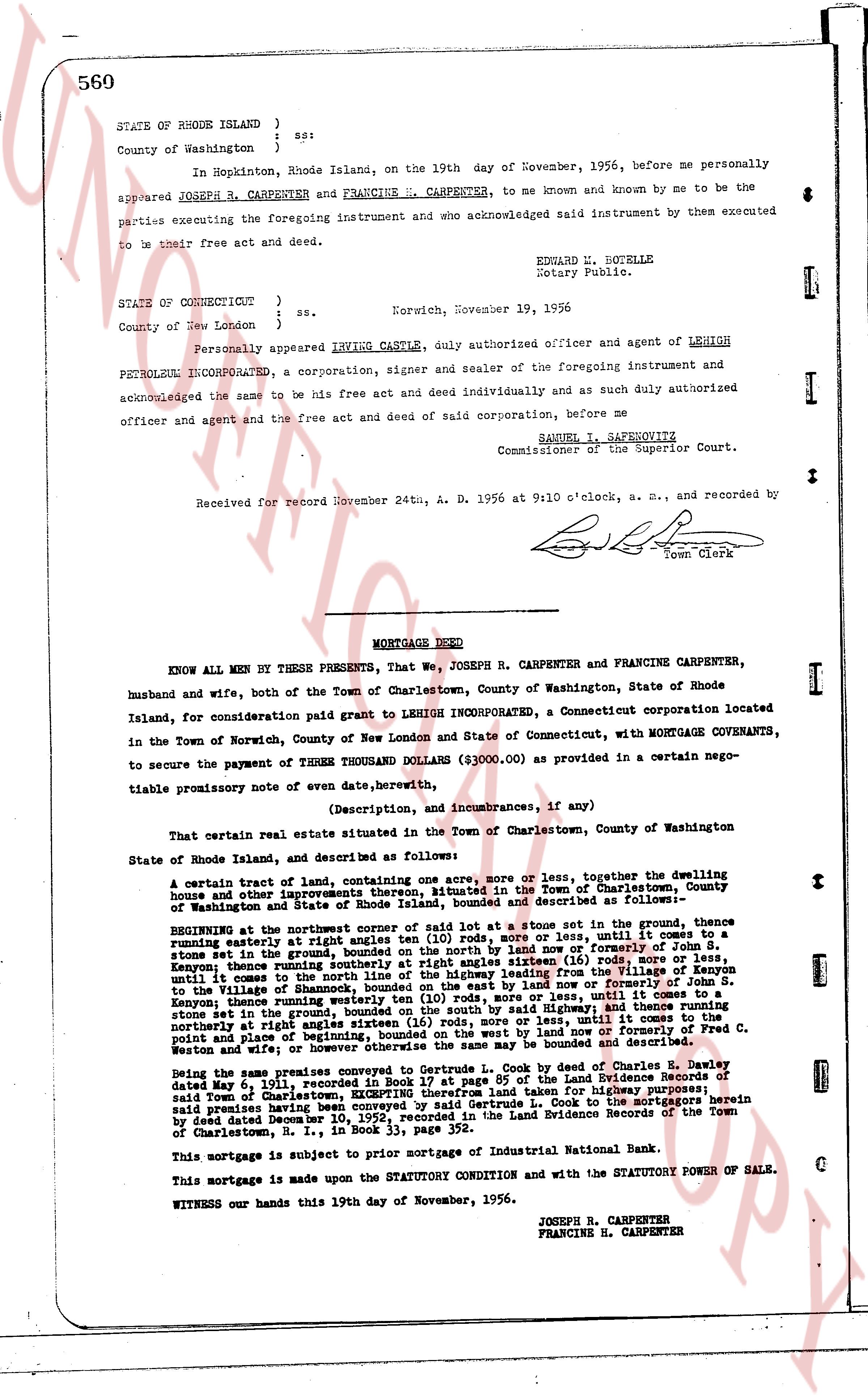
560
STATE OF RHODE ISLAND ) ss:
County of Washington )
}
In Hopkinton, Rhode Island, on the 19th day of November, 1956, before me personally appeared JOSEPH R. CARPENTER and FRANCINE H. CARPENTER, to me known and known by me to be the parties executing the foregoing instrument and who acknowledged said instrument by them executed to be their free act and deed.
EDWARD W. BOTELLE
Notary Public.
STATE OF CONNECTICUT ) ss. Norwich, November 19, 1956
County of New London )
}
Personally appeared IRVING CASTLE, duly authorized officer and agent of LEHIGH PETROLEUM INCORPORATED, a corporation, signer and sealer of the foregoing instrument and acknowledged the same to be his free act and deed individually and as such duly authorized officer and agent and the free act and deed of said corporation, before me
SAMUEL I. SAPEROVITZ
Commissioner of the Superior Court.
Received for record November 24th, A. D. 1956 at 9:10 o'clock, a. m. and recorded by [signature] Town Clerk
----
MORTGAGE DEED
KNOW ALL MEN BY THESE PRESENTS, that We, JOSEPH R. CARPENTER and FRANCINE CARPENTER, husband and wife, both of the Town of Charlestown, County of Washington, State of Rhode Island, for consideration paid grant to LEHIGH INCORPORATED, a Connecticut corporation located in the Town of Norwich, County of New London and State of Connecticut, with MORTGAGE COVENANTS, to secure the payment of THREE THOUSAND DOLLARS ($3000.00) as provided in a certain negotiable promissory note of even date, hereinafter,
(Description, and incumbrances, if any)
That certain real estate situated in the Town of Charlestown, County of Washington State of Rhode Island, and described as follows:
A certain tract of land, containing one acre, more or less, together with the dwelling house and other improvements thereon, situated in the Town of Charlestown, County of Washington and State of Rhode Island, bounded and described as follows:—
BEGINNING at the northeasterly corner of said lot at a stone set in the ground, thence running easterly at right angles ten (10) rods, more or less, until it reaches a stone set in the ground; thence running southerly ten (10) rods, more or less, northerly of Joseph S. Kenyon; thence running southerly at right angles sixteen (16) rods, more or less, until it comes to the boundary of the land of Joseph S. Kenyon; thence running northerly from said boundary of the land of Joseph S. Kenyon to the Village of Shannock, bounded on the east by land now or formerly of Joseph S. Kenyon; thence running northerly at right angles sixteen (16) rods, more or less, until it comes to a stone set in the ground; then on the ground, bounded on the south by said Highway, and thence running northerly at right angles eighteen (18) rods, more or less, until it comes to a stone set in the ground and place of beginning; bounded on the west by land now or formerly of Fred C. Weston and wife; whereover or otherwise the survey may be the same is bounded and described.
Being the same premises charged by mortgage to Industrial National Bank by deed of Charles B. Dawley dated May 1, 1931, recorded in Book 24, page 85 of the Land Evidence Records of said Town of Charlestown, EXCEPTING therefrom land taken for highway purposes, said premises having been conveyed to us by deed from Charles B. Dawley as recorded herein by deed dated December 10, 1952, recorded in the Land Evidence Records of the Town of Charlestown, R. I., in Book 33, page 352.
This mortgage is subject to prior mortgage of Industrial National Bank.
This mortgage is made upon the STATUTORY CONDITION and with the STATUTORY POWER OF SALE.
WITNESS our hands this 19th day of November, 1956.
JOSEPH R. CARPENTER
FRANCINE H. CARPENTER
page 2 · read by Gemma vision
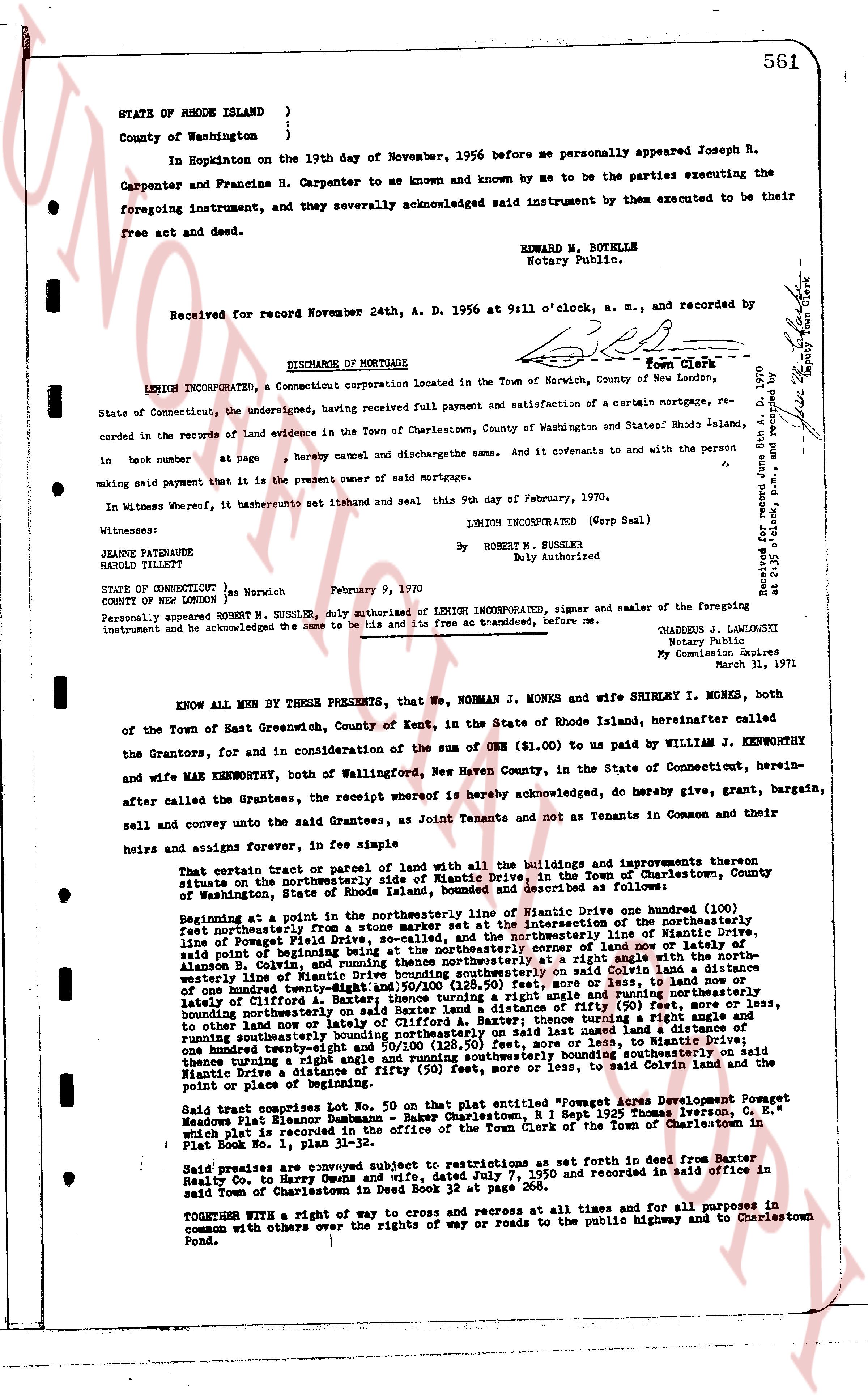
561
STATE OF RHODE ISLAND )
County of Washington )
In Hopkinton on the 19th day of November, 1956 before me personally appeared Joseph R. Carpenter and Francine H. Carpenter to me known and by me to be the parties executing the foregoing instrument, and they severally acknowledged said instrument by them executed to be their free act and deed.
EDWARD M. BOTELLE
Notary Public.
Received for record November 24th, A. D. 1956 at 9:11 o'clock, a. m., and recorded. [Signature] Town Clerk
----
DISCHARGE OF MORTGAGE
LEHIGH INCORPORATED, a Connecticut corporation located in the Town of Norwich, County of New London, State of Connecticut, the undersigned, having received Full payment and satisfaction of a certain mortgage, recorded in the records of land evidence in the Town of Charlestown, County of Washington State of Rhode Island, in book number [?] at page [?] hereby cancel and discharge the same. And it covenants to and with the person [?] making said payment that it is the present owner of said mortgage.
In Witness whereof, it has hereunto set its stamp and seal this 9th day of February, 1970.
LEHIGH INCORPORATED (Corp Seal)
By ROBERT M. SUSSLER
Duly Authorized
Witnesses:
JEANNE PATENAUDE
HAROLD TILLET
STATE OF Connecticut ) ss Norwich February 9, 1970
COUNTY OF NEW LONDON )
Personally appeared Robert M. SUSSLER, duly authorized of LEHIGH INCORPORATED, signer and sealer of the foregoing instrument and he acknowledged the same to be his and to his free act and to transferred, before me.
THADDEUS J. LANGOSKI
Notary Public
My Commission Expires
March 31, 1971
Received for record February 11th, 1970 at 10 o'clock a.m. and recorded by [Signature] Deputy Town Clerk
----
KNOW ALL MEN BY THESE PRESENTS, that We NORMAN J. MONKS and wife SHIRLEY I. MONKS, both of the Town of East Greenwich, County of Kent, in the State of Rhode Island, hereinafter called the Grantors, and for and consideration of the sum of ONE ($1.00) to us paid by WILLIAM J. KENWORTHY and wife MARY KENWORTHY, both of Wallingford, New Haven County, in the State of Connecticut, hereinafter called the Grantees, the receipt whereof is hereby acknowledged, do hereby give, grant, bargain, sell and convey unto the said Grantees, as Joint Tenants and not as Tenants in Common and their heirs and assigns forever, in fee simple
That certain tract or parcel of land with all the buildings and improvements thereon situate on the northeasterly side of Niantic Drive, in the Town of Charlestown, County of Washington, State of Rhode Island, bounded and described as follows:
Beginning at a point in the northeasterly line of Niantic Drive one hundred (100) feet northeasterly from a stone wall at the intersection of the northeasterly boundary of the land of Frances Powell, Rhode Island, and the northeasterly line of Niantic Drive, running thence northeasterly along said line of Frances Powell, Rhode Island, to the northeasterly line of land of now or lately owner of Alanson R. Colvin, and running thence northeasterly at a right angle with the aforesaid line a distance of one hundred twenty-eight (128) feet along said Colvin land to a distance of one hundred twenty-eight and 50/100 (128.50) feet, more or less, to land of now or lately owner of Clifford L. Gorton, and running thence easterly along said Gorton land to a distance of one hundred twenty-eight (128) feet, bounding northeasterly on said Baxter land a distance of fifty (50) feet, more or less, to other land now or lately owner of Alanson R. Colvin, and running thence southerly bounding northeasterly on said last named land a distance of one hundred twenty-eight and 50/100 (128.50) feet, more or less, to land of now or lately owner of Clifford L. Gorton, and running thence southerly bounding southeasterly on said land a distance of one hundred twenty-eight (128) feet, more or less, to said Colvin land and the point or place of beginning.
Said tract comprises Lot No. 50 on that plat entitled "Powegat Acres Development Powegat Meadows Flat Island Sassaemus - Baker Charlestown, R.I. Sept 1925 Thomas Iverson, E. C." filed with the register of land evidence in the office of the Town Clerk of the Town of Charlestown in Plat Book No. 1, plan 31-32.
Said premises are conveyed subject to the restrictions set forth in deed from Baxter, Kelly Co. to Harry Dunn and wife, dated July 7, 1950 and recorded in said office in said Town of Charlestown in deed Book 32 at page 268.
TOGETHER WITH a right of way to cross and recross at all times and for all purposes in common with others on the rights of way or roads to the public highway and to Charlestown Pond.
The page as recorded