The instrument's own words
page 1 · read by Gemma vision
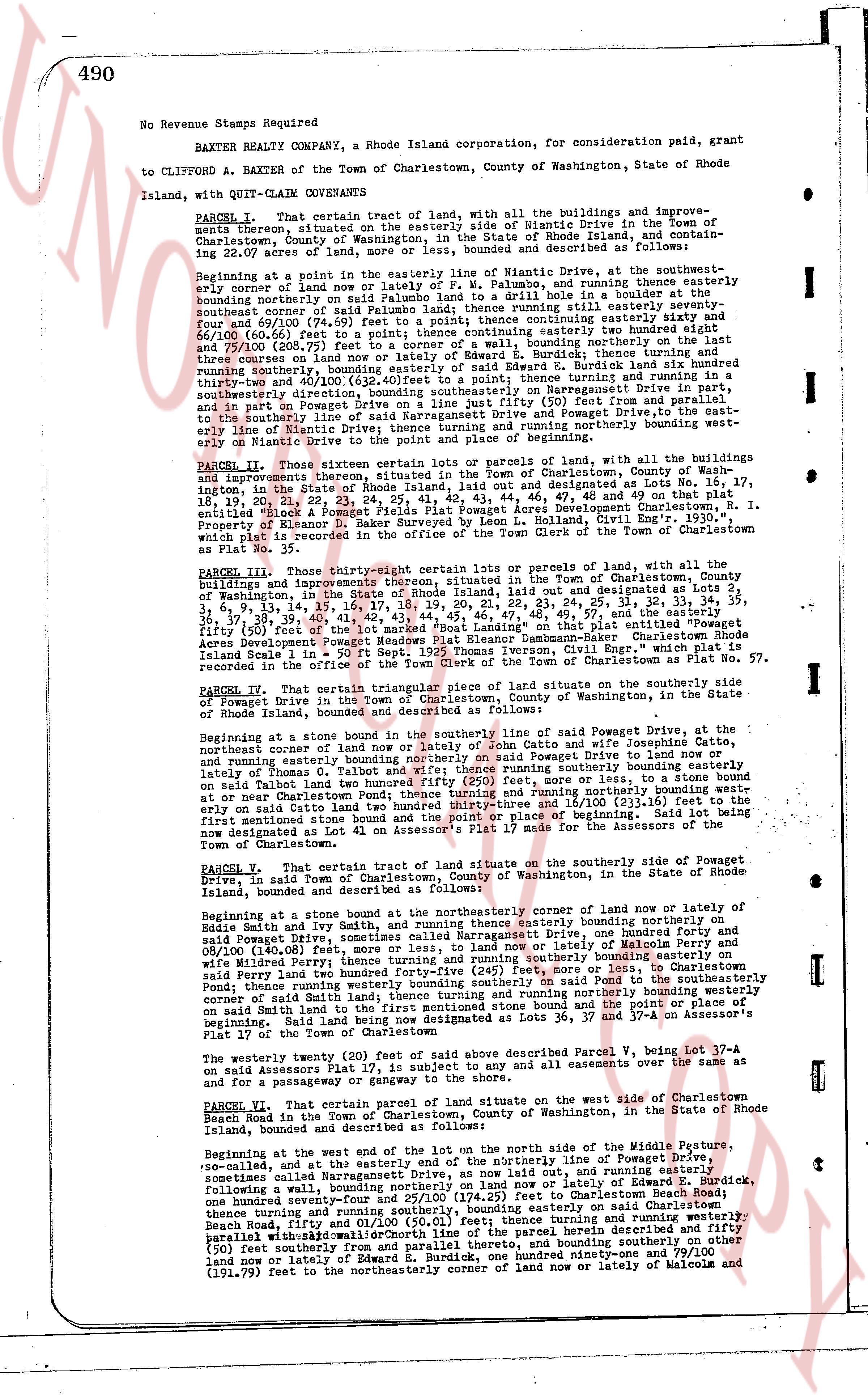
490
No Revenue Stamps Required
BAXTER REALTY COMPANY, a Rhode Island corporation, for consideration paid, grant
to CLIFFORD A. BAXTER of the Town of Charlestown, County of Washington, State of Rhode Island, with QUIT-CLAIM COVENANTS
PARCEL I. That certain tract of land, with all the buildings and improvements thereon situated on the easterly side of Niantic Drive in the Town of Charlestown, County of Washington, in the State of Rhode Island, and containing 22.07 acres of land, more or less, bounded and described as follows:
Beginning at a point in the easterly line of Niantic Drive, at the southwesternmost corner of land now or lately of Salem Palumbo to laid a drin hole in a boulder at said southwestern corner of land now or lately of Salem Palumbo, and running thence easterly bounding northerly on said Palumbo land to a pole; thence continuing easterly six hundred seventy-four and 69/100 (674.69) feet to a pole; thence continuing easterly sixty six and 58/100 (66.58) feet to a pole; thence continuing easterly one hundred seventy-five and 75/100 (175.75) feet to a corner of a wall, bounding northerly on the land then state of Rhode Island, and running thence northerly in said wall to a boulder, thence running easterly bounding easterly of Edward B. Burdick land six hundred thirty-three and 70/100 (633.70) feet to a pole; thence continuing easterly one hundred seventy-two and 40/100 (172.40) feet to a pole; thence continuing easterly one hundred seventy-four and 40/100 (174.40) feet to a boulder, bounding easterly on property situated northeasterly on Sassaquesset Highway in Narragansett drive, and continuing easterly to a pole; thence continuing easterly one hundred seventy-four and 10/100 feet, and in part on Powgate Drive on a line just five (5) feet to the east of the easterly line of Powgate Drive, then to the east of the easterly line of Powgate Drive, then to the southeastly line of Niantic Drive; thence running and northerly bounding westerly bounding easterly of Niantic Drive to the point of beginning.
PARCEL II. Those sixteen certain lots or parcels of land, with all the buildings and improvements thereon situated, in the Town of Charlestown, County of Washington, Rhode Island, in the plat entitled "Plat of the land of the heirs of the late Col. Collindell, I. and the Property of Eleanor D. Baker surveyed by Leon L. Holland, Civil Engr. 1930," being lots 17, 18, 19, 20, 21, 22, 23, 24, 25, 28, 41, 42, 43, 44, 46, 47, 48, 49 and on that plat entitled "Sketch of land of the heirs of the late Col. Collindell, I. and the Property of Eleanor D. Baker surveyed by Leon L. Holland, Civil Engr. 1930," a piece of land marked "A", being the same lots and parcels of land which is plat recorded in the office of the Town Clerk of the Town of Charlestown as Plat No. 32.
PARCEL III. Those thirty-eight certain lots or parcels of land, with all the buildings and improvements thereon situated, in the Town of Charlestown, County of Washington, Rhode Island, in the land use designated as Lots 2, 7, 8, 9, 10, 11, 12, 13, 14, 15, 16, 17, 18, 19, 20, 21, 22, 23, 24, 25, 26, 27, 28, 29, 30, 31, 32, 33, 34, 35, 36, 37, 38, 39, 40, 41, 42, 43, 44, 45, 46, 47, 48, 49, 50, 51, 52, 53, 54, 55, 56, 57 and the easterly fifty (50) feet of the lot marked "Boat Landing" on that plat entitled "Assessment Map of the Town of Charlestown, Rhode Island, surveyed by Thomas Iverson, Civil Engineer Rhode Island Scale 1 in = 50 ft Sept 1935 Thomas Iverson, Civil Engr." which plat is recorded in the office of the Town Clerk of the Town of Charlestown.
PARCEL IV. That certain triangular piece of land situate on the southerly side of Powgate Drive in the Town of Charlestown, County of Washington, in the State of Rhode Island, bounded and described as follows:
Beginning at a stone bound at the southerly line of said Powgate Drive, at the northeasterly corner of land now or lately of John Catto and wife Josephine Catto and running thence northeast corner of land now or lately of John Catto and wife Josephine Catto to a pole; thence continuing northeasterly bounding northerly on Powgate Drive to a boulder, and running easterly bounding northerly on said boulder to an iron pipe; thence running southerly bounding easterly on said iron pipe to a boulder on said Talbot land two hundred ninety (290) feet, more or less, and continuing southerly bounding northerly bounding westerly on said Talbot land two hundred twenty-three sixteen and 16/100 (223.16) feet to the first mentioned stone bound at the southerly line of Powgate Drive, the whole lot being now designated as Lot 41 on Assessor's Plat 17 for the maps of the Town of Charlestown.
PARCEL V. That certain tract of land situate on the southerly side of Powgate Drive, in said Town of Charlestown, County of Washington, in the State of Rhode Island, bounded and described as follows:
Beginning at a stone bound at the northeasterly corner of land now or lately of Eddie Smith and wife Ruth, and running thence easterly bounding northerly on said Eddie Smith and wife Ruth land to a pole; thence continuing easterly bounding northerly on said Powgate Drive, sometimes called Narragansett Drive, one hundred one and 8/100 (101.80) feet to a pole; thence continuing easterly bounding northerly on land now or lately of Malcolm Perry and wife Mildred Perry; thence running and southerly running southerly bounding easterly on said Talbot land two hundred ninety (290) feet, more or less, to Charlestown said Perry land two hundred ninety (290) feet, more or less, to said Pond; thence running easterly bounding southerly on said Pond to a stone bound at the southeasterly corner of land now or lately of Malcolm Perry and wife Mildred Perry bounding easterly on said Smith land to the first mentioned stone bound and the piece of land being now designated as Lots 36, 37 and 37-A on Assessor's Plat 17 for the maps of the Town of Charlestown.
The westerly twenty (20) feet of said shore described Parcel V, being Lot 37-A on said Assessor's Plat 17, is subject to any and all easements over the same as to for a passageway or driveway to the shore.
PARCEL VI. That certain parcel of land situate on the west side of Charlestown Beach Road in the Town of Charlestown, County of Washington, in the State of Rhode Island, bounded and described as follows:
Beginning at the west end of the lot on the north side of the Middle Pusture, so-called, and at the easterly end of the northerly line of Powgate Drive, sometimes called Narragansett Drive, running east out, more or less, following a wall, bounding northerly on land now or lately of Edward B. Burdick, one hundred ninety-four and 40/100 (194.40) feet to a pole at Charlestown; thence running and southerly bounding, bounding easterly on said Charlestown Beach Road, fifty-five and 40/100 (55.40) feet, running and northerly bounding parallel with and parallel with Charlestown line of the parcel herein described and fifty (50) feet southerly from and parallel thereto, and bounding southerly bounding easterly on land now or lately of Malcolm and wife, three hundred ninety-one and 79/100 (391.79) feet to the northeasterly corner of land now or lately of Malcolm and
page 2 · read by Gemma vision
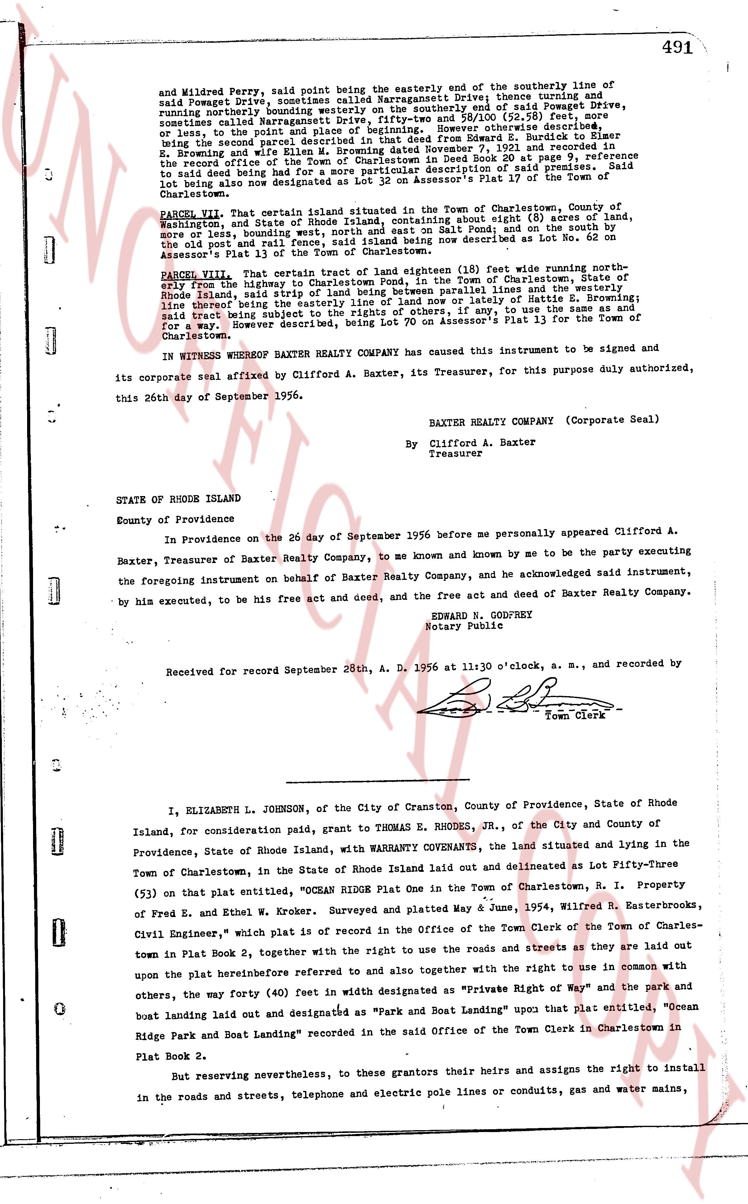
491
and Mildred Perry, said points being the easterly end of the southerly line of
said Powaget Drive, sometimes called Narragansett Drive, thence turning and
running northerly bounding northerly on the southerly end of Powaget Drive,
sometimes called Narragansett Drive, 111 feet 0 inches 89/100, (25 degrees
sometimes called Narragansett Drive), thence point of beginning. However otherwise
described, or less, to the point of beginning. However otherwise described,
being the second parcel described in that deed from Edward Z. Burdick to Walter
E. Browning and wife dated September 7, 1928 and recorded in the
record office of the Town of Charlestown in Deed Book 30 page 9, reference
said land being that part of the southerly portion of said premises, said
lot being also now designated as Lot 12 on Assessor's Plat 17 of the Town of
Charlestown.
PARCEL VII. That certain tract of land situated in the Town of Charlestown, State of
Washington, and of State Rhode Island, containing about Eight (8) acres of land,
more or less, bounding northerly on the south side of Pond Road, and on the south
on the old rail road rail fence, said land being now described as Lot No. 62 on
Assessor's Plat 13 of the Town of Charlestown.
PARCEL VIII. That certain tract of land eighteen (18) feet wide running north-
erly from the highway to the south side of the Town of Charlestown, State of
Rhode Island, said strip of land being between parallel lines and bounded on the
line through the center of said strip of land by the land of Hattie S. Browning;
said tract being subject to the rights of others, if any, to use the same as and for
a way. However described, being Lot 70 on Assessor's Plat 13 for the Town of
Charlestown.
IN WITNESS WHEREOF BAXTER REALTY COMPANY has caused this Instrument to be signed and
its corporate seal affixed by Clifford A. Baxter, its Treasurer, for this purpose duly authorized,
this 26th day of September 1956.
BAXTER REALTY COMPANY (Corporate Seal)
By Clifford A. Baxter
Treasurer
STATE OF RHODE ISLAND
County of Providence
In Providence on the 26 day of September 1956 before me personally appeared Clifford A.
Baxter, Treasurer of Baxter Realty Company, to me known and known by me to be the party executing
the foregoing instrument on behalf of Baxter Realty Company, and he acknowledged said instrument,
by his execution, to be the free act and deed of Baxter Realty Company.
EDWARD N. GODFREY
Notary Public
Received for record September 28th, A. D. 1956 at 11:30 o'clock, a. m., and recorded by
[Signature]
Town Clerk
----
I, ELIZABETH L. JOHNSON, of the City of Cranston, County of Providence, State of Rhode
Island, for consideration paid, grant to THOMAS E. RHODES, JR., of the City and County of
Providence, State of Rhode Island, with WARRANTY COVENANTS, the land situated and lying in the
Town of Charlestown, in the State of Rhode Island laid out and delineated as Lot Fifty-Three
(53) on that plat entitled, "OCEAN RIDGE Plat One in the Town of Charlestown, R. I. Property
of Fred E. and Ethel W. Kroner. Surveyed and plotted May 4 June 1954, Wilfred R. Easterbrooks,
Civil Engineer," which plat is of record in the Office of the Town Clerk of the Town of Charles-
town in Plat Book 2, together with the right to use the roads and streets as they are laid out
upon the plat hereinbefore referred to and also together with the right to use in common with
others, the way forty (40) feet in width designated as "Private Right of Way" and the park and
others, the way forty (40) feet in width designated as "Park and Boat Landing" upon that plat entitled, "Ocean
boat landing land laid out and designated as "Park and Boat Landing" recorded in the said Office of the Town Clerk in Charlestown in
Plat Book 2.
But reserving nevertheless, to these grantors their heirs and assigns their the right to install
in the roads and streets, telephone and electric pole lines or conduits, gas and water mains,
The page as recorded